Felin-pandy

Settlement in Carmarthenshire

Wales

Felin-pandy

Ceuffordd Bryn Niwl / Bryn Niwl holloway Hen geuffordd ysblennydd a arwain lan o Ffarm Bryn Niwl i gyfeiriad Ffarm Waun Oleu Fach. Creuwyd ceuffyrdd gan erydiad, dwr a thrafnidiaeth ac y mae rhai ohonynt yn dyddio nol i'r Oes Haearn.  

A splendid old holloway climbing upwards from Bryn Niwl Farm (trans. Hill of Mist) to Waun Oleu Farm (trans. Bright Meadow). Holloways are formed by erosion, water and traffic and some date as far back as the Iron Age.
Ceuffordd Bryn Niwl / Bryn Niwl holloway Credit: Alan Richards

Felin-pandy is a small village located in the county of Carmarthenshire, Wales. Situated in the western part of the county, it lies within the beautiful Teifi Valley, surrounded by rolling hills and picturesque countryside. The village is located approximately 9 miles northeast of the town of Llandysul and 13 miles southwest of Lampeter.

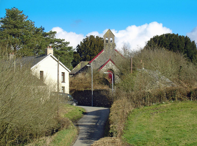
Felin-pandy is a predominantly rural community with a small population, offering a peaceful and idyllic lifestyle for its residents. The village is characterized by its charming traditional Welsh architecture, with stone-built houses and cottages dotting the landscape. The surrounding countryside provides ample opportunities for outdoor activities such as hiking, cycling, and fishing, with the scenic River Teifi flowing nearby.

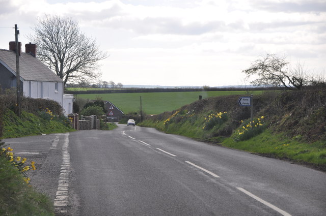
The village is well-connected to neighboring towns and cities by road, with the A482 passing through Felin-pandy, providing easy access to the wider region. While Felin-pandy itself may not have many amenities, nearby towns offer a range of facilities such as shops, schools, and healthcare services, ensuring that residents have access to the essentials.

Felin-pandy is known for its close-knit community, where locals often engage in community events and activities. The village also benefits from its proximity to the Brechfa Forest, a popular destination for nature enthusiasts, offering extensive woodland trails and stunning landscapes.

In summary, Felin-pandy is a small, peaceful village nestled in the beautiful Carmarthenshire countryside. With its traditional charm, outdoor recreational opportunities, and strong sense of community, it provides an attractive living environment for those seeking a tranquil rural lifestyle.

If you have any feedback on the listing, please let us know in the comments section below.
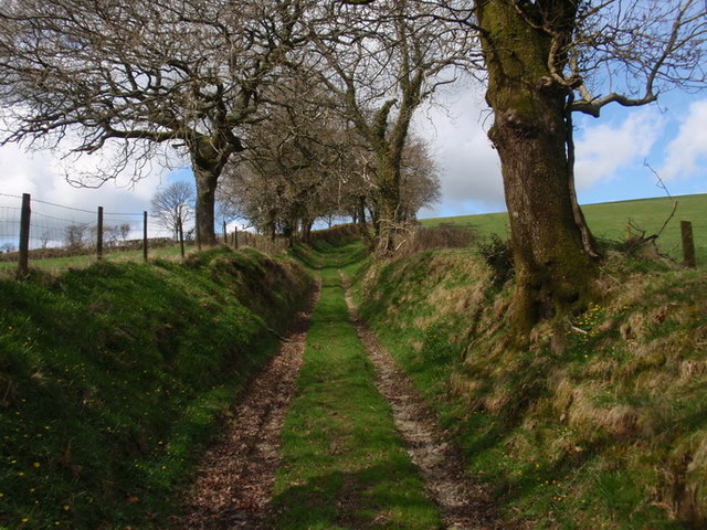
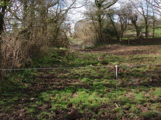
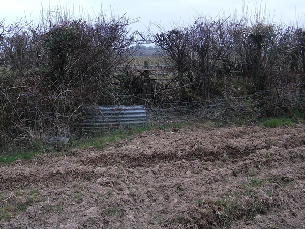
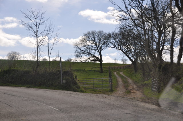
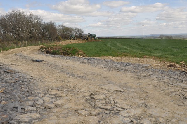
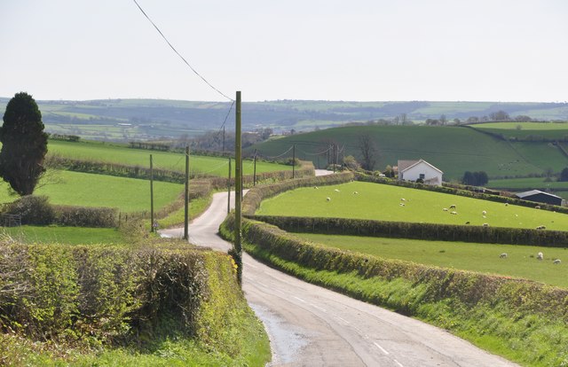
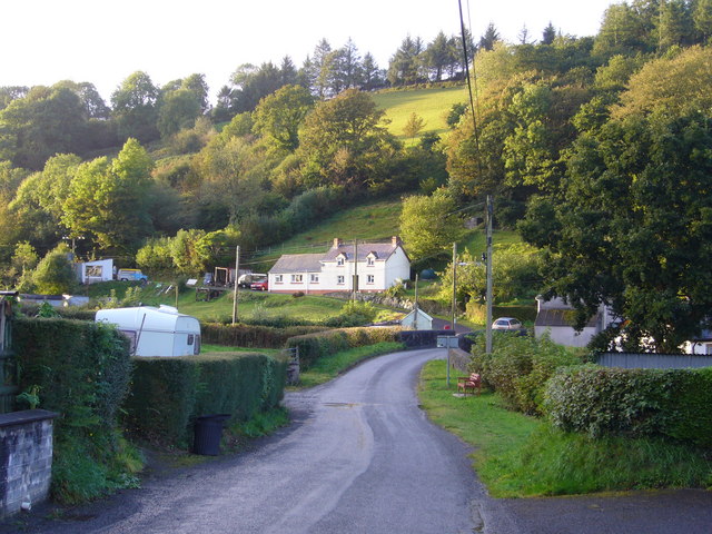
Felin-pandy Images

Images are sourced within 2km of 51.883816/-4.4686167 or Grid Reference SN3023. Thanks to Geograph Open Source API. All images are credited.

Ceuffordd Bryn Niwl / Bryn Niwl holloway Hen geuffordd ysblennydd a arwain lan o Ffarm Bryn Niwl i gyfeiriad Ffarm Waun Oleu Fach. Creuwyd ceuffyrdd gan erydiad, dwr a thrafnidiaeth ac y mae rhai ohonynt yn dyddio nol i'r Oes Haearn.  

A splendid old holloway climbing upwards from Bryn Niwl Farm (trans. Hill of Mist) to Waun Oleu Farm (trans. Bright Meadow). Holloways are formed by erosion, water and traffic and some date as far back as the Iron Age.
Ceuffordd Bryn Niwl / Bryn Niwl holloway
Hen geuffordd ysblennydd a arwain lan o Ffarm Bryn Niwl i gyfeiriad Ffarm Waun Oleu Fach. Creuwyd ceuffyrdd gan erydiad, dwr a thrafnidiaeth ac y mae rhai ohonynt yn dyddio nol i'r Oes Haearn. A splendid old holloway climbing upwards from Bryn Niwl Farm (trans. Hill of Mist) to Waun Oleu Farm (trans. Bright Meadow). Holloways are formed by erosion, water and traffic and some date as far back as the Iron Age.
Llwybr Waun Oleu Fach  / Waun Oleu Fach footpath Llwybr cyhoeddus yn nesau tuag at Ffarm Wern Oleu Fach i'w gweld yn y pellter. Yn y blaendir ceir wifren drydan ar draws y llwybr. Dylai'r ffarmwr ddodi biben blastig neu rywbeth cyffelyb ar ran o'r wifren er sicrau bod cerwyddyr yn gallu mynd yn eu blaen yn ddiogel. 

Public footpath approaching Wern Oleu Farm visible in the distance. In the foreground one can see an electric fence. The fence should be covered in part with a plastic tubing or something similar to enable walkers to proceed safely.
Llwybr Waun Oleu Fach / Waun Oleu Fach footpath
Llwybr cyhoeddus yn nesau tuag at Ffarm Wern Oleu Fach i'w gweld yn y pellter. Yn y blaendir ceir wifren drydan ar draws y llwybr. Dylai'r ffarmwr ddodi biben blastig neu rywbeth cyffelyb ar ran o'r wifren er sicrau bod cerwyddyr yn gallu mynd yn eu blaen yn ddiogel. Public footpath approaching Wern Oleu Farm visible in the distance. In the foreground one can see an electric fence. The fence should be covered in part with a plastic tubing or something similar to enable walkers to proceed safely.
"Stile" on Carmarthenshire footpath This is typical of the state of footpaths in west Carmarthenshire
"Stile" on Carmarthenshire footpath
This is typical of the state of footpaths in west Carmarthenshire
Carmarthenshire : The B4299 A road heading through the Carmarthenshire countryside.
Carmarthenshire : The B4299
A road heading through the Carmarthenshire countryside.
Carmarthenshire : The B4299 A road heading around the corner with a gate entering the field.
Carmarthenshire : The B4299
A road heading around the corner with a gate entering the field.
Carmarthenshire : Grassy Field & Track A grassy field and a muddy track heading through it.
Carmarthenshire : Grassy Field & Track
A grassy field and a muddy track heading through it.
Carmarthenshire : The B4299 A road heading through the Carmarthenshire countryside.
Carmarthenshire : The B4299
A road heading through the Carmarthenshire countryside.
Carmarthenshire : The B4299 A road heading through the Carmarthenshire countryside.
Carmarthenshire : The B4299
A road heading through the Carmarthenshire countryside.
Uwchlaw Plas Paun / Above Plas Paun Cerddwyr yn dilyn llwybr cyhoeddus i gyfeiriad Ffarm Waun Olau Fach.

Walkers following a public footpath in the direction of Waun Olau Farm (trans. bright fen or meadow).
Uwchlaw Plas Paun / Above Plas Paun
Cerddwyr yn dilyn llwybr cyhoeddus i gyfeiriad Ffarm Waun Olau Fach. Walkers following a public footpath in the direction of Waun Olau Farm (trans. bright fen or meadow).
Ordnance Survey Cut Mark This OS cut mark can be found on the gatepost east side of the road. It marks a point 160.527m above mean sea level.
Ordnance Survey Cut Mark
This OS cut mark can be found on the gatepost east side of the road. It marks a point 160.527m above mean sea level.
Ffynnonbedr Chapel
Ffynnonbedr Chapel
Felin-pandy Gives a good impression of how narrow the valleys are in this area.
Felin-pandy
Gives a good impression of how narrow the valleys are in this area.
House in Ty-hên The house is called Arfryn.
House in Ty-hên
The house is called Arfryn.
Field near Pentre-goch, Meidrim
Valley of the Afon Dewi Fawr: Glandewi, Trelech
Cil-hir Isaf, Trelech
Pasture near Pant-y-gronw, Trelech
West side of the Dewi Fawr valley The large fir tree marks the position of Ddolwen, a now ruined cottage last inhabited in the 19th Century.
West side of the Dewi Fawr valley
The large fir tree marks the position of Ddolwen, a now ruined cottage last inhabited in the 19th Century.
Show me another place!

Felin-pandy is located at Grid Ref: SN3023 (Lat: 51.883816, Lng: -4.4686167)

Unitary Authority: Carmarthenshire

Police Authority: Dyfed Powys

What 3 Words

///organisms.unrealistic.pampering. Near Abernant, Carmarthenshire

Nearby Locations

Coed Tyhên Felin-pandy

Related Wikis

Trelech (electoral ward)

Trelech is the name of an electoral ward for Carmarthenshire County Council in Carmarthenshire, Wales. It is represented by one county councillor. ��2...

Meidrim

Meidrim is a village and community some 8 miles (13 km) west of Carmarthen and 3.3 miles (5.3 km) north of St Clears in Carmarthenshire, Wales. Meidrim...

Talog, Carmarthenshire

Talog is a small rural village in Carmarthenshire, Wales, located on the River Cywyn, about seven miles north-west of the town of Carmarthen. It is in...

Abernant, Carmarthenshire

Abernant is a hamlet and community in Carmarthenshire, Wales. The population taken at the 2011 census was 297. == Location == Abernant is a small hamlet...

Nearby Amenities

Located within 500m of 51.883816,-4.4686167
Give Way
Direction: forward
Lat/Long: 51.8838158/-4.4686679
Direction: S
Generator Method: photovoltaic
Generator Output Electricity: yes
Generator Solar Modules: 14
Generator Source: solar
Generator Type: solar_photovoltaic_panel
Location: roof
Power: generator
Lat/Long: 51.8857441/-4.4716632
The data included in this document is from www.openstreetmap.org. The data is made available under ODbL.

Have you been to Felin-pandy?

Leave your review of Felin-pandy below (or comments, questions and feedback).