Felindre

Settlement in Carmarthenshire

Wales

Felindre

Sticil ysgol Llansadwrn / Llansadwrn ladder tile Sticil ysgol yn croesi wal gerrig sych ger Llansadwrn

A ladder stile crossing a drystone wall near Llansadwrn
Sticil ysgol Llansadwrn / Llansadwrn ladder tile Credit: Alan Richards

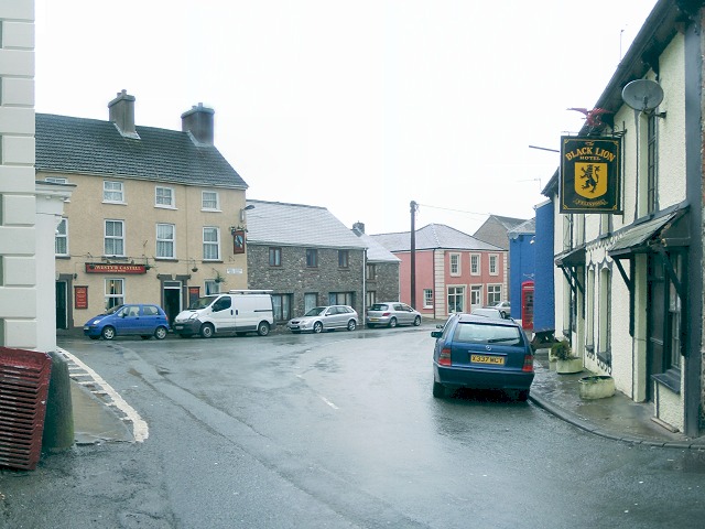
Felindre is a small village located in the county of Carmarthenshire, Wales. Situated in the picturesque Towy Valley, it is surrounded by rolling hills and lush green countryside. With a population of around 400 residents, Felindre offers a tranquil and close-knit community environment.

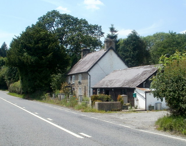
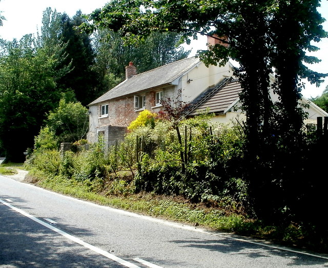
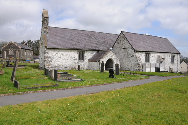
The village boasts a rich history, with evidence of settlements dating back to the Iron Age. Today, it retains its traditional charm, with many of its buildings reflecting the architectural style of the past. The local church, St. Michael's, is a notable landmark, dating back to the 13th century and displaying stunning medieval features.

Felindre benefits from its rural location but still provides convenient amenities for its residents. The village is home to a primary school, ensuring quality education for local children. Additionally, there is a village hall that serves as a hub for community events and gatherings.

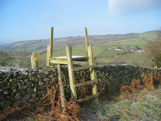
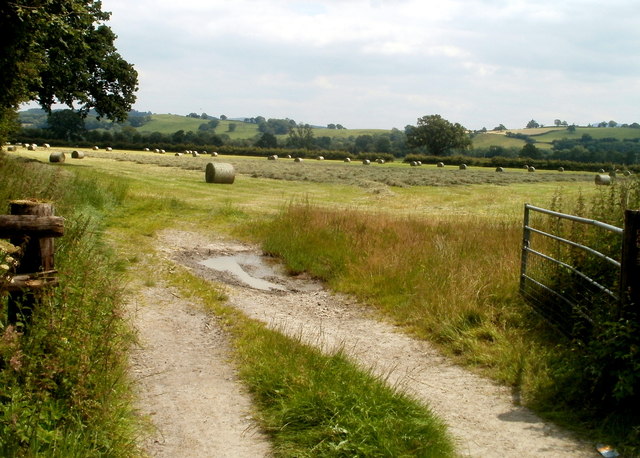
Nature enthusiasts are drawn to Felindre for its scenic surroundings. The nearby Brechfa Forest offers extensive trails for walking, cycling, and horse riding, providing an opportunity to explore the area's natural beauty. The Towy River, which runs through the village, is popular among anglers for its trout and salmon fishing.

Despite its small size, Felindre is well-connected to neighboring areas. The town of Carmarthen is approximately 10 miles away, offering a wider range of amenities such as shopping centers, healthcare facilities, and entertainment options.

In conclusion, Felindre is a picturesque village with a rich history and a strong sense of community. With its scenic location and convenient access to amenities, it offers a peaceful and idyllic lifestyle for its residents.

If you have any feedback on the listing, please let us know in the comments section below.
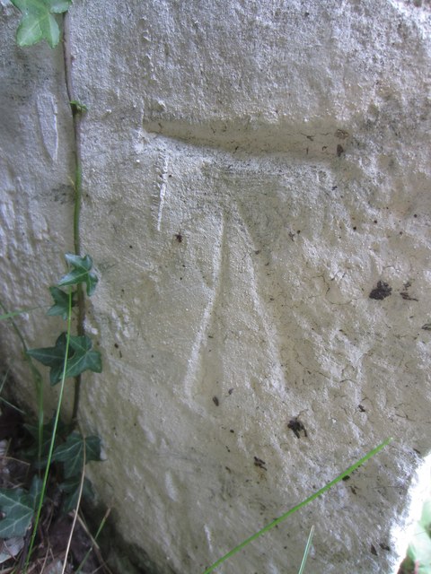
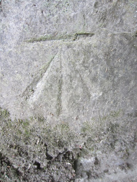
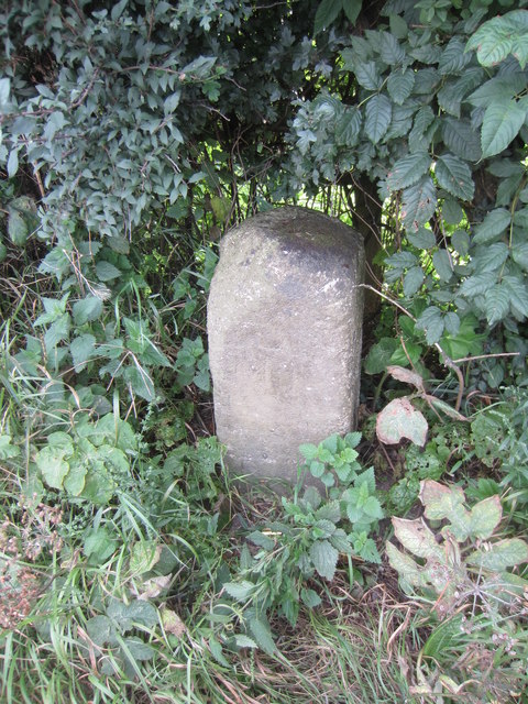
Felindre Images

Images are sourced within 2km of 51.957219/-3.9124055 or Grid Reference SN6830. Thanks to Geograph Open Source API. All images are credited.

Sticil ysgol Llansadwrn / Llansadwrn ladder tile Sticil ysgol yn croesi wal gerrig sych ger Llansadwrn

A ladder stile crossing a drystone wall near Llansadwrn
Sticil ysgol Llansadwrn / Llansadwrn ladder tile
Sticil ysgol yn croesi wal gerrig sych ger Llansadwrn A ladder stile crossing a drystone wall near Llansadwrn
Little England in Carmarthenshire Deep in rural Wales, this is Lloegr-fach, literally Little England.
Viewed across the A40 SW of Llanwrda.
Little England in Carmarthenshire
Deep in rural Wales, this is Lloegr-fach, literally Little England. Viewed across the A40 SW of Llanwrda.
Livestock pens near Llansadwrn The pens are alongside the A40 near Lloegr-fach. <a title="https://www.geograph.org.uk/photo/3220493" href="https://www.geograph.org.uk/photo/3220493">Link</a>
Livestock pens near Llansadwrn
The pens are alongside the A40 near Lloegr-fach. Link
Early July in rural Carmarthenshire A view of a field adjacent to pens <a title="https://www.geograph.org.uk/photo/3220699" href="https://www.geograph.org.uk/photo/3220699">Link</a> at the edge of the A40.
Early July in rural Carmarthenshire
A view of a field adjacent to pens Link at the edge of the A40.
Bryncoch near Llansadwrn Viewed from the A40 near Lloegr-fach. <a title="https://www.geograph.org.uk/photo/3220493" href="https://www.geograph.org.uk/photo/3220493">Link</a>
Bryncoch near Llansadwrn
Viewed from the A40 near Lloegr-fach. Link
Road to Llansadwrn Viewed from the A40. The sign shows 1 mile to Llansadwrn. <a href="https://www.geograph.org.uk/gridref/SN6931">SN6931</a>
Road to Llansadwrn
Viewed from the A40. The sign shows 1 mile to Llansadwrn. SN6931
Tree at a right turn for Llansadwrn Viewed across the A40 in rural Carmarthenshire SW of Llanwrda.
A sign points right to a minor road to Llansadwrn (1 mile).
Tree at a right turn for Llansadwrn
Viewed across the A40 in rural Carmarthenshire SW of Llanwrda. A sign points right to a minor road to Llansadwrn (1 mile).
Llansadwrn  church Llansawrn church is dedicated to St Sadwrn.  In the background to the left is what appears to be a Methodist church.
Llansadwrn church
Llansawrn church is dedicated to St Sadwrn. In the background to the left is what appears to be a Methodist church.
Interior of Llansadwrn church View along the nave of St Sadwrn church, Llansadwrn.
Interior of Llansadwrn church
View along the nave of St Sadwrn church, Llansadwrn.
Bridge over Afon Marlais Bridge over Afon Marlais to the west of Llansadwrn.
Bridge over Afon Marlais
Bridge over Afon Marlais to the west of Llansadwrn.
Cattle feeder in a field Cattle feeder in a field to the west of Llansadwrn.
Cattle feeder in a field
Cattle feeder in a field to the west of Llansadwrn.
Farmland west of Llansadwrn Farmland west of Llansadwrn with Plasnewydd on the horizon.
Farmland west of Llansadwrn
Farmland west of Llansadwrn with Plasnewydd on the horizon.
New bridge over a stream A new bridge carrying a country road over a stream to the west of Llansadwrn.
New bridge over a stream
A new bridge carrying a country road over a stream to the west of Llansadwrn.
Triangulation Pillar (S6469) Fan Hill 3rd Order Triangulation Pillar carries flush bracket S6469 which marks a point 265.725m above mean sea level.
Triangulation Pillar (S6469)
Fan Hill 3rd Order Triangulation Pillar carries flush bracket S6469 which marks a point 265.725m above mean sea level.
Ordnance Survey Cut Mark This OS cut mark can be found on the roadside building at Lletty'ywen. It marks a point 66.968m above mean sea level.
Ordnance Survey Cut Mark
This OS cut mark can be found on the roadside building at Lletty'ywen. It marks a point 66.968m above mean sea level.
Ordnance Survey Cut Mark This OS cut mark can be found on the gateside wall to Brynheulog. It marks a point 76.411m above mean sea level.
Ordnance Survey Cut Mark
This OS cut mark can be found on the gateside wall to Brynheulog. It marks a point 76.411m above mean sea level.
Mile Stone Mile Stone near Brownhill Farm.
Mile Stone
Mile Stone near Brownhill Farm.
Ger  Llwyn y Bwch / Near Llwyn y Bwch Cerddwyr yn croesi pontdroed sy'n rhychwantu Afon Marlais ger Ffarm Llwyn y Bwch. .

Walkers crossing a footbridge spanning the Marlais River near Llwyn y Bwch Farm (trans. buck grove).
Ger Llwyn y Bwch / Near Llwyn y Bwch
Cerddwyr yn croesi pontdroed sy'n rhychwantu Afon Marlais ger Ffarm Llwyn y Bwch. . Walkers crossing a footbridge spanning the Marlais River near Llwyn y Bwch Farm (trans. buck grove).
Show me another place!

Felindre is located at Grid Ref: SN6830 (Lat: 51.957219, Lng: -3.9124055)

Unitary Authority: Carmarthenshire

Police Authority: Dyfed Powys

What 3 Words

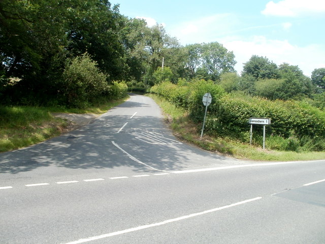
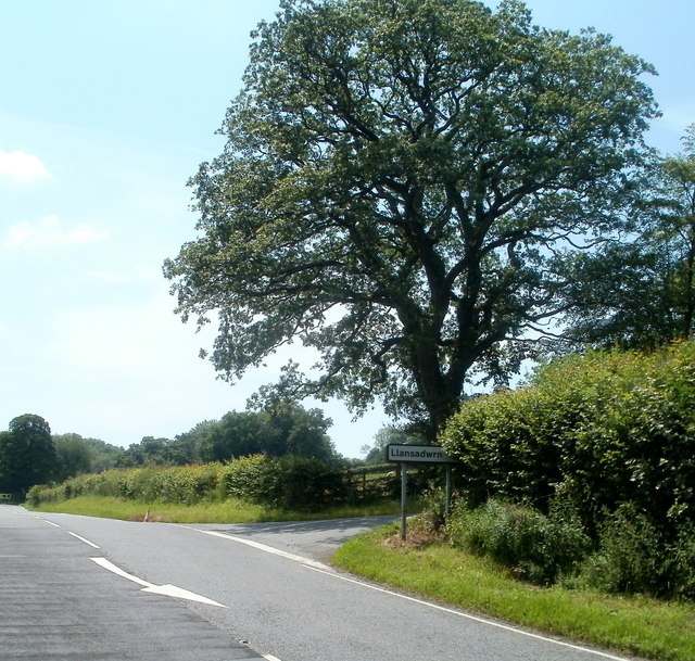
///fatherly.videos.sailing. Near Llansadwrn, Carmarthenshire

Nearby Locations

Felindre

Related Wikis

Llansadwrn

Llansadwrn (; Welsh: [ɬanˈsadʊn]; ) is a small village and community in Carmarthenshire, Wales. It is located in the countryside above the valley of the...

Llangadog railway station

Llangadog railway station serves the village of Llangadog near Llandeilo, Carmarthenshire. The station is on the Heart of Wales Line 36+1⁄2 miles (59 km...

River Sawdde

The Afon Sawdde is a river in the county of Carmarthenshire, Wales. For most of its course it flows through the Brecon Beacons National Park and Fforest...

Llanwrda railway station

Llanwrda railway station serves the village of Llanwrda near Llandovery, Carmarthenshire. Opened by the Vale of Towy Railway in 1858, the station is on...

Llanwrda

Llanwrda ([ɬanʊrˈda] ) is a village and community in Carmarthenshire, Wales, 4 miles (6.4 km) southwest of Llandovery. It lies on the River Towy. The population...

Llangadog

Llangadog () is a village and community in Carmarthenshire, Wales, which also includes the villages of Bethlehem and Capel Gwynfe. A notable local landscape...

Glanrhyd Bridge collapse

On 19 October 1987, a train on the Heart of Wales line derailed and fell into the River Towy due to the partial collapse of the Glanrhyd Bridge near Llandeilo...

Glanrhyd Halt railway station

Glanrhyd railway station served the town of Llandeilo, Carmarthenshire, Wales, from 1858 to 1955 on the Vale of Towy Railway. == History == The station...

Have you been to Felindre?

Leave your review of Felindre below (or comments, questions and feedback).