Felden
Settlement in Hertfordshire Dacorum
England
Felden
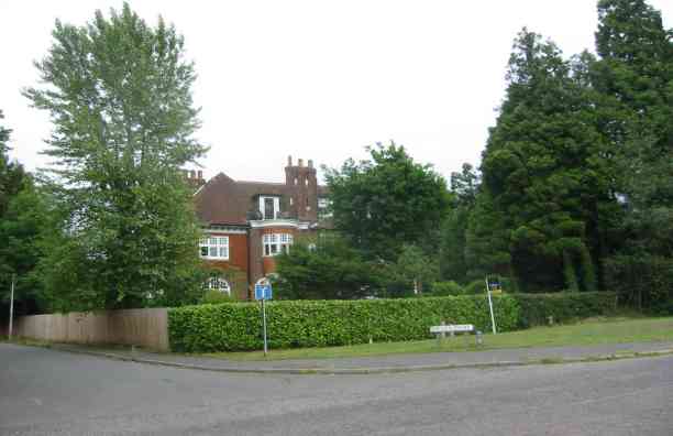
Felden is a small village located in Hertfordshire, England. Situated approximately 3 miles southwest of Hemel Hempstead, it is part of the Dacorum district. The village is nestled in a picturesque rural setting and is surrounded by beautiful countryside.
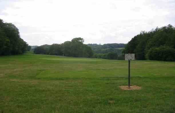
Felden has a relatively small population, with a close-knit community. The village is known for its tranquil atmosphere and offers a peaceful escape from the hustle and bustle of nearby towns. The landscape is characterized by rolling hills, meadows, and woodlands, making it an ideal location for nature enthusiasts and outdoor activities.
The village features a mix of properties, ranging from traditional cottages to modern houses. There is a community center that serves as a hub for various events and activities, bringing residents together. Although there are no shops or amenities within the village itself, the nearby towns of Hemel Hempstead and Berkhamsted provide easy access to a wide range of facilities.
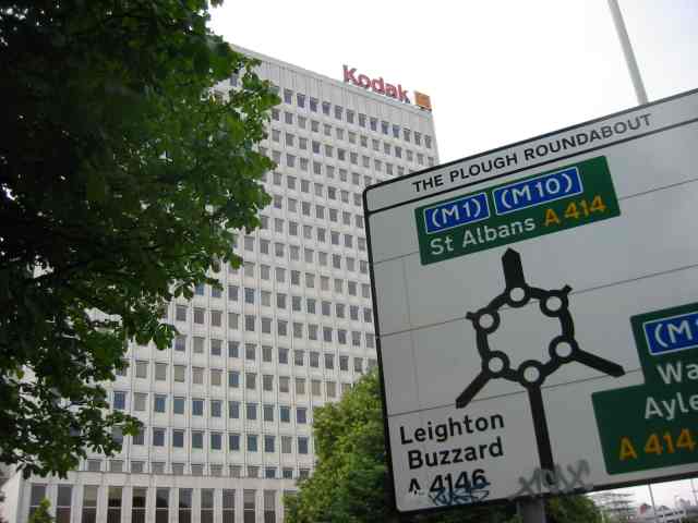
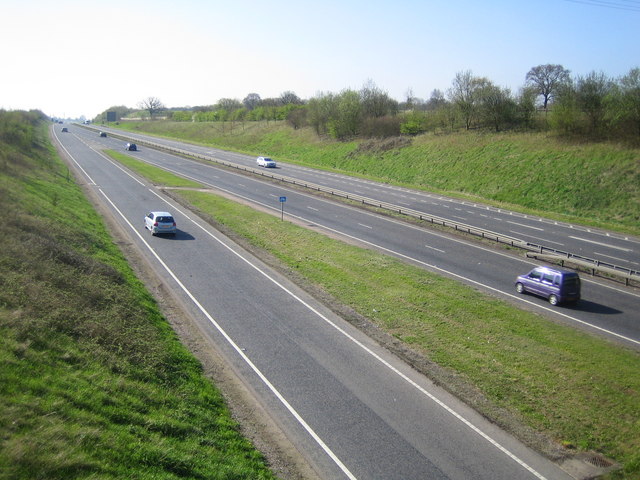
Felden benefits from its proximity to major road networks, with the A41 and M25 motorway just a short drive away. This allows residents to easily commute to nearby towns and cities, such as London.
Overall, Felden offers a peaceful and picturesque setting with a strong sense of community. Its rural location and easy access to amenities make it an attractive place to live for those seeking a tranquil lifestyle within close proximity to urban facilities.
If you have any feedback on the listing, please let us know in the comments section below.
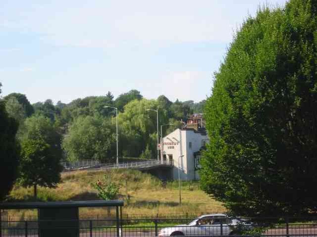
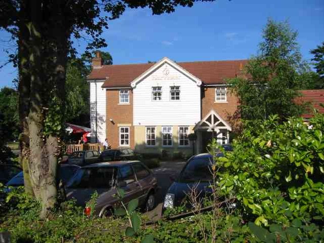
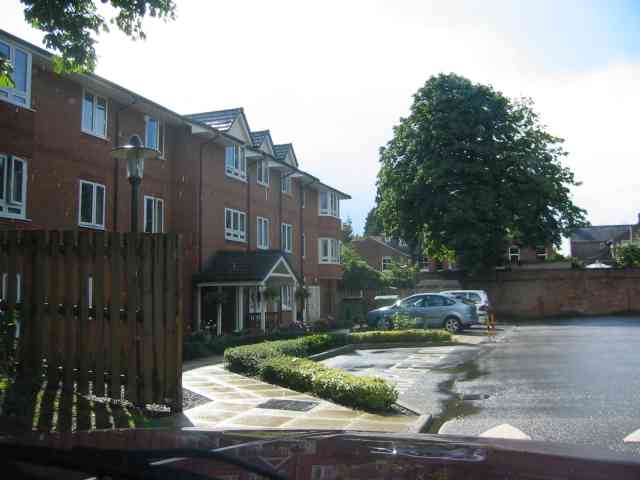
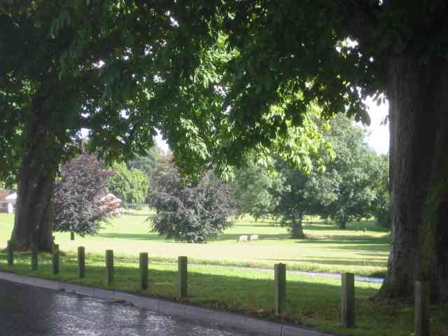
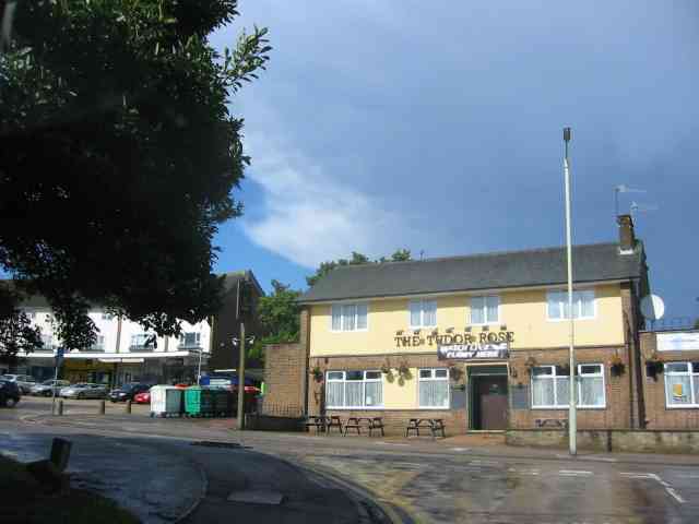
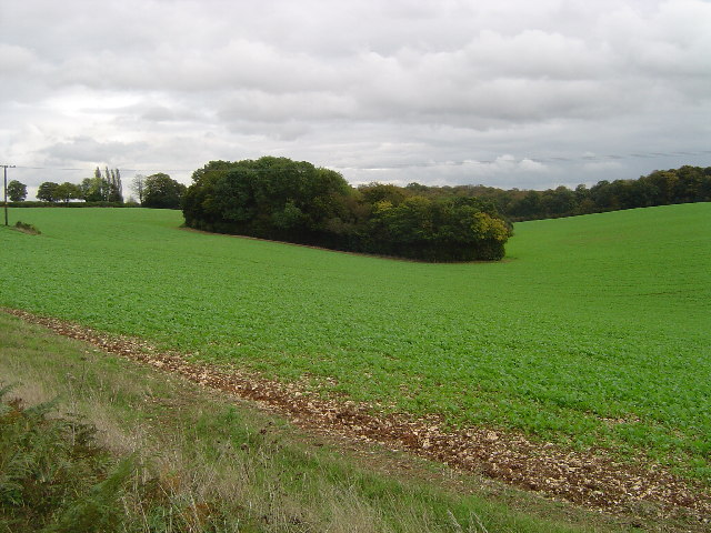
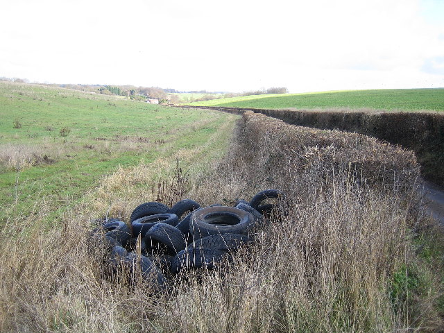
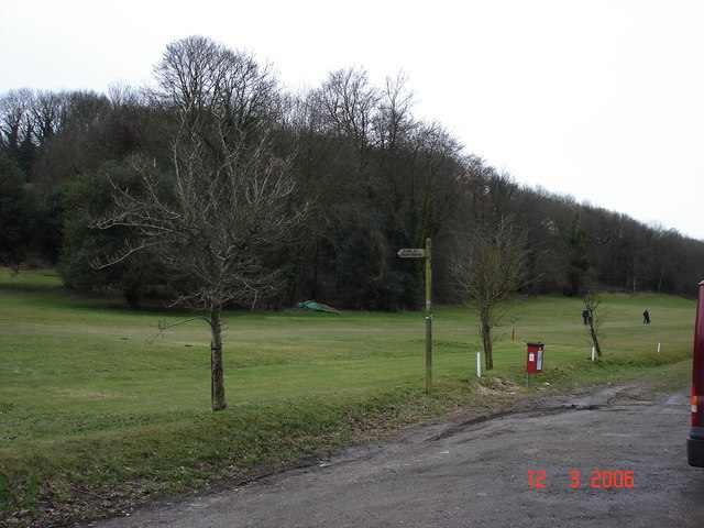
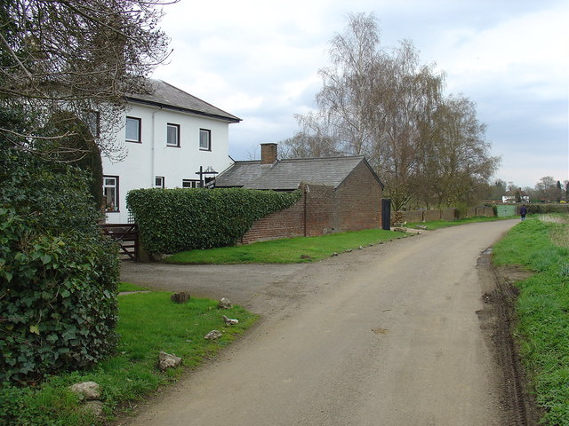
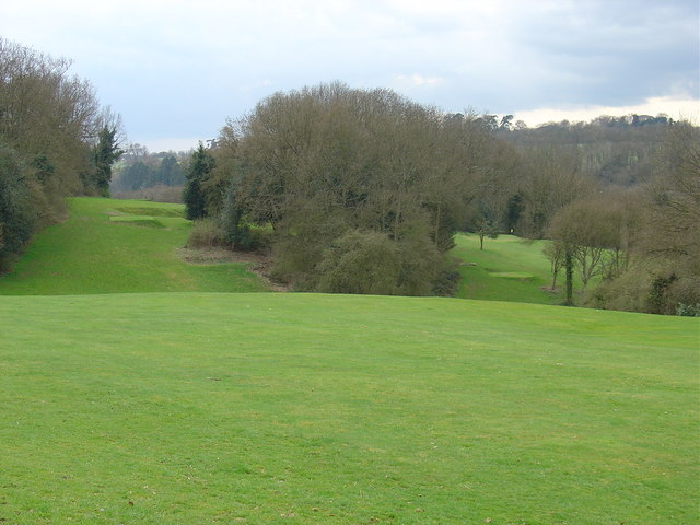
Felden Images
Images are sourced within 2km of 51.733133/-0.49432402 or Grid Reference TL0404. Thanks to Geograph Open Source API. All images are credited.


Felden is located at Grid Ref: TL0404 (Lat: 51.733133, Lng: -0.49432402)
Administrative County: Hertfordshire
District: Dacorum
Police Authority: Hertfordshire
What 3 Words
///coach.green.cats. Near Bovingdon, Hertfordshire
Nearby Locations
Related Wikis
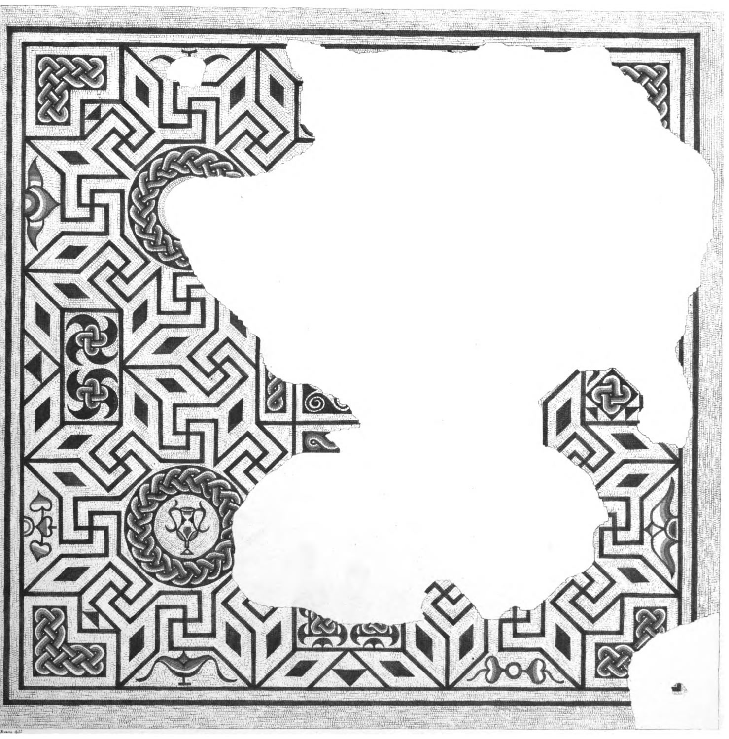
Boxmoor Roman Villa
Boxmoor Roman Villa is a ruined Roman Villa at Boxmoor, Hemel Hempstead, Hertfordshire. The remains have been excavated, but they are now buried. The Roman...
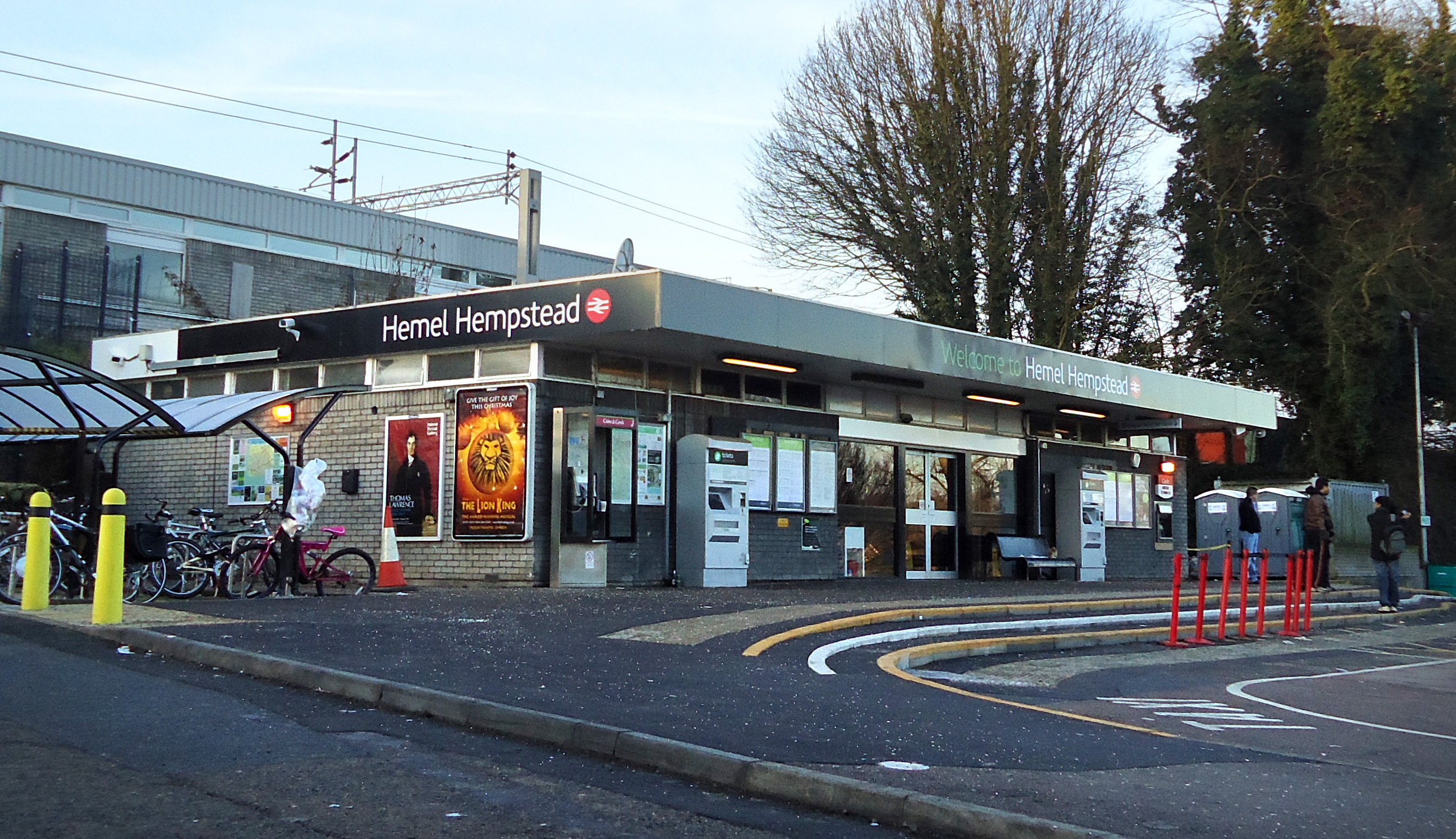
Hemel Hempstead railway station
Hemel Hempstead railway station is on the West Coast Main Line, on the western edge of the town of Hemel Hempstead, Hertfordshire, England. The station...
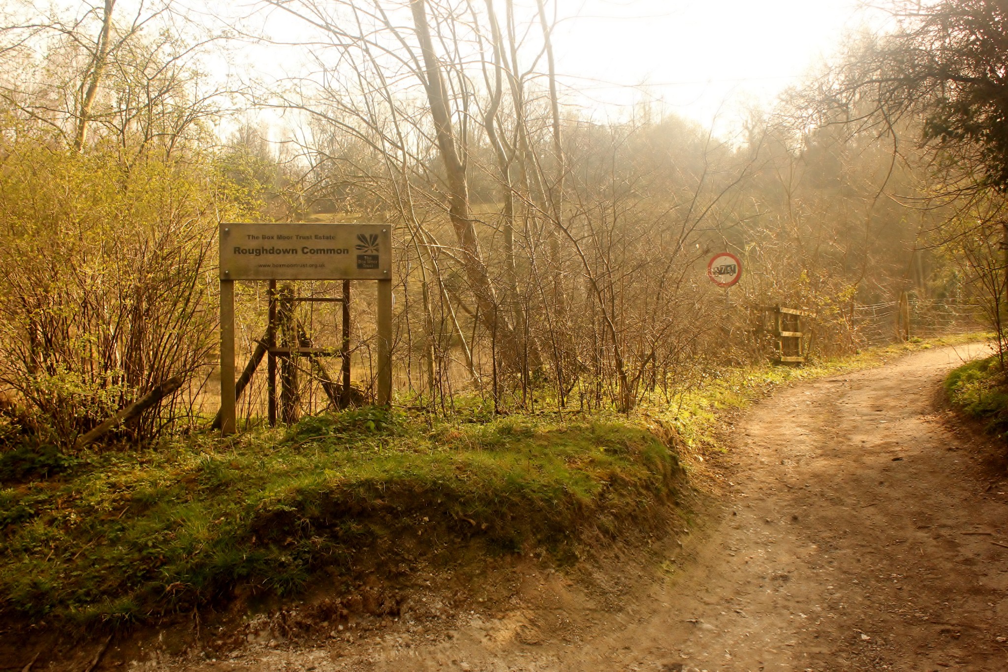
Roughdown Common
Roughdown Common is a 3.6-hectare (8.9-acre) biological Site of Special Scientific Interest in Hemel Hempstead in Hertfordshire. The planning authority...

Box Moor Trust
The Box Moor Trust is a charitable trust responsible for the management of nearly 500 acres of land within the parishes of Hemel Hempstead and Bovingdon...
The Beacon, Hemel Hempstead
The Beacon is a 17-storey block of 272 flats planned to be built in Hemel Hempstead, Hertfordshire, England. The developer Lumiere Developments claims...
Westbrook Hay Hill Climb
The Westbrook Hay Hill Climb was an annual motorsports event near Hemel Hempstead in England, where drivers competed on an uphill course. The Herts County...
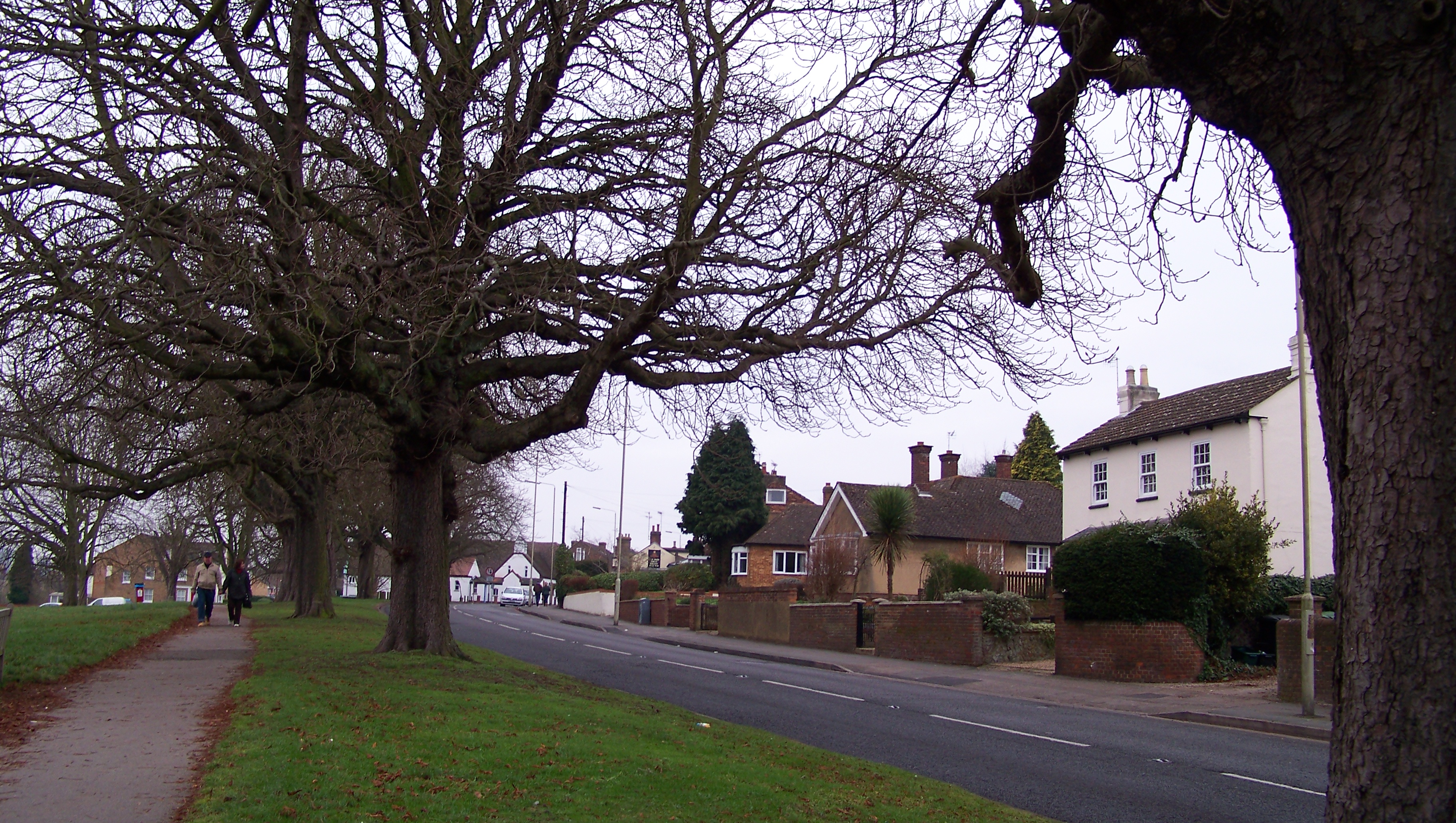
Boxmoor
Boxmoor is part of Hemel Hempstead in Hertfordshire. It is within the district of Dacorum and comprises mainly 19th-century housing and meadowland, with...
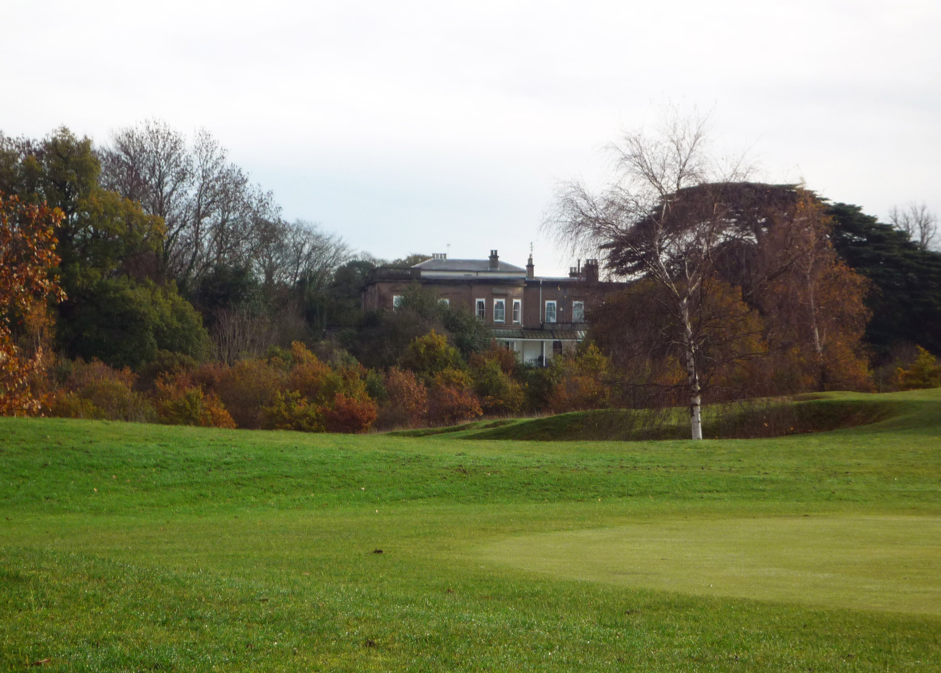
Westbrook Hay
Westbrook Hay School is a culturally significant great house located in Hemel Hempstead, Hertfordshire, England, that has housed the independent Westbrook...
Nearby Amenities
Located within 500m of 51.733133,-0.49432402Have you been to Felden?
Leave your review of Felden below (or comments, questions and feedback).