Farleywood

Settlement in Berkshire

England

Farleywood

Temple Way, Bracknell
Temple Way, Bracknell Credit: Robin Webster

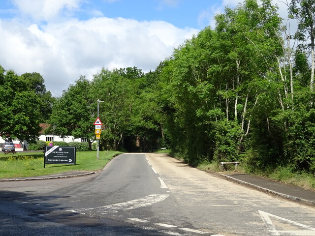
Farleywood is a charming village located in the county of Berkshire, England. Situated approximately three miles south of the town of Bracknell, Farleywood is surrounded by picturesque countryside, offering residents a peaceful and idyllic setting.

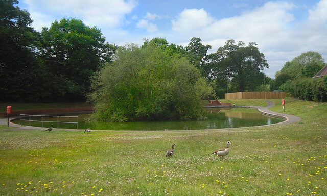
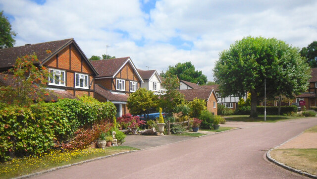
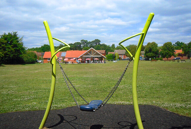
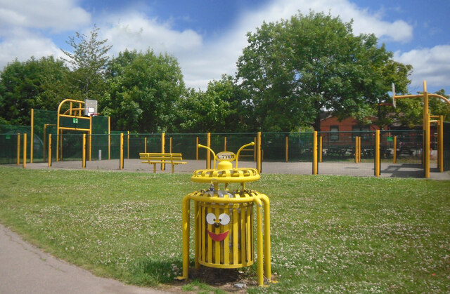
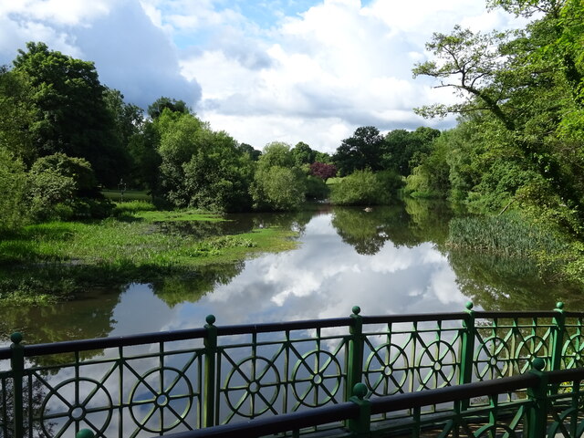
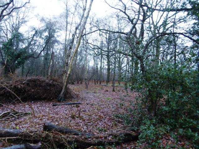
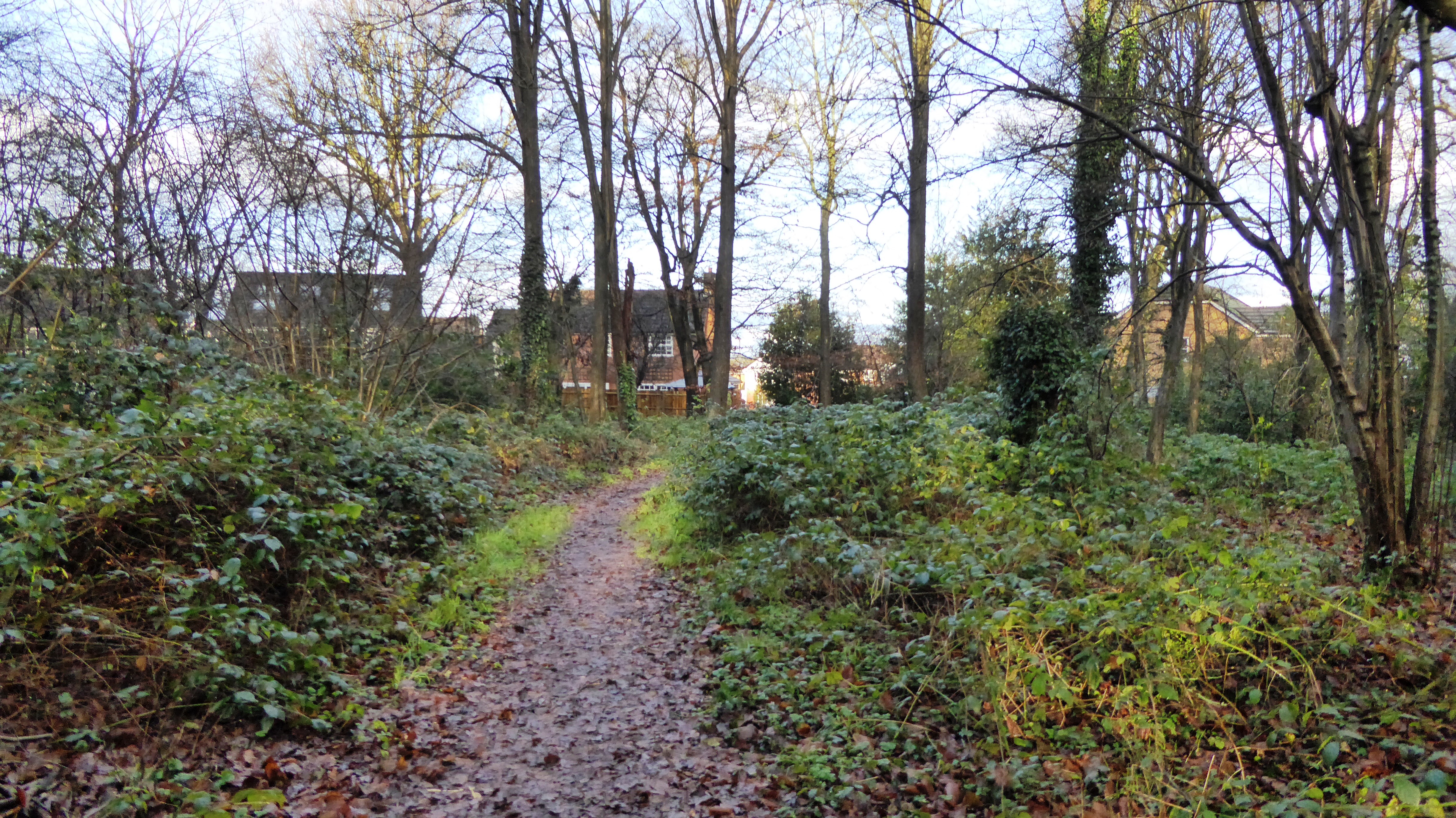
The village is primarily residential, with a close-knit community that takes pride in maintaining its rural character. One of the defining features of Farleywood is its abundance of green spaces and parks, providing ample opportunities for outdoor activities such as walking, jogging, and picnicking. The village is also home to a local cricket club, which adds to the sense of community and provides a focal point for social gatherings.

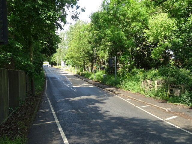
Farleywood benefits from excellent transport links, making it an attractive location for commuters. The nearby M3 and M4 motorways provide easy access to major cities such as London and Reading, while Bracknell train station offers regular services to London Waterloo and Reading.

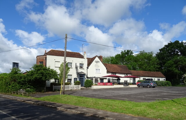
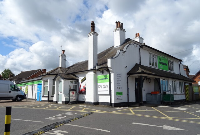
Residents of Farleywood can also take advantage of the amenities in the neighboring town of Bracknell, including a large shopping center, a range of restaurants and cafes, and various leisure facilities. The village itself has a small convenience store for everyday necessities, but for a wider range of shopping options, residents often venture into Bracknell.

Overall, Farleywood offers a tranquil and friendly environment, making it an ideal place for those seeking a peaceful retreat while still being within easy reach of city amenities.

If you have any feedback on the listing, please let us know in the comments section below.
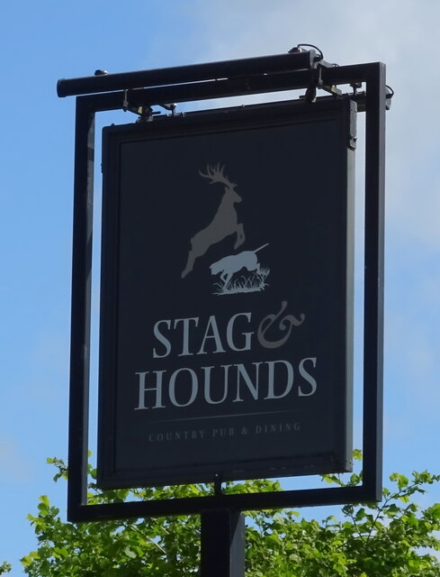
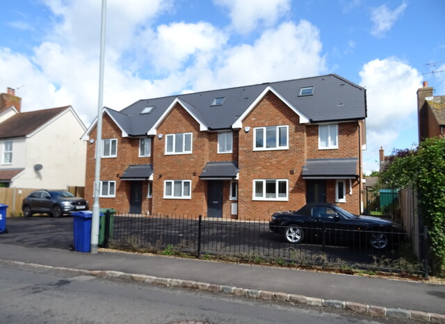
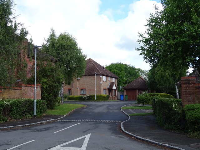
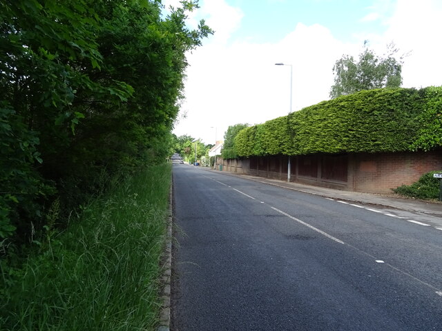
Farleywood Images

Images are sourced within 2km of 51.416918/-0.77619046 or Grid Reference SU8569. Thanks to Geograph Open Source API. All images are credited.

Temple Way, Bracknell
Geese & Pond, Nash Park A small balancing pond in a new development supports an un-naturally large population of ducks, geese and moorhens.
Geese & Pond, Nash Park
A small balancing pond in a new development supports an un-naturally large population of ducks, geese and moorhens.
Nash Park, Binfield A short residential street in an area of recent development.
Nash Park, Binfield
A short residential street in an area of recent development.
Foxley Fields, Binfield A suburban park with sports and play areas and a cafe in the building which is shared with the parish council offices.
Foxley Fields, Binfield
A suburban park with sports and play areas and a cafe in the building which is shared with the parish council offices.
Basketball & Bin On Foxley Fields Recreation Ground.
Basketball & Bin
On Foxley Fields Recreation Ground.
The Cut, Binfield Manor
B3034 towards Binfield
Church Lane (B3018) Towards Twyford.
Church Lane (B3018)
Towards Twyford.
The Stag & Hounds, Binfield See <a href="https://www.geograph.org.uk/photo/7280678">SU8571 : Sign for the Stag & Hounds, Binfield</a> for sign.
The Stag & Hounds, Binfield
Sign for the Stag & Hounds, Binfield See <a href="https://www.geograph.org.uk/photo/7280676">SU8571 : The Stag & Hounds, Binfield</a> for context.
Sign for the Stag & Hounds, Binfield
Houses on Forest Road, Binfield
Arthurstone Birches, Binfield
Forest Road (B3034), Binfield
Co-operative food store on Forest Road, Binfield
Roundabout on  Forest Road (B3034), Binfield
Roundabout on Forest Road (B3034), Binfield
The Binfield Club
The Binfield Club
Terrace Road South, Binfield
Welcome to Cabbage Hill A pathway into some open space on the edge of a new housing development.
Welcome to Cabbage Hill
A pathway into some open space on the edge of a new housing development.
Show me another place!

Farleywood is located at Grid Ref: SU8569 (Lat: 51.416918, Lng: -0.77619046)

Unitary Authority: Bracknell Forest

Police Authority: Thames Valley

What 3 Words

///happy.forgot.snows. Near Binfield, Berkshire

Nearby Locations

Farleywood Farleymoor Lake

Related Wikis

Farley Wood

Farley Wood is a suburb in the civil parish of Binfield, approximately 1.2 miles (1.9 km) west of Bracknell, in the English county of Berkshire. Farley...

Farley Copse

Farley Copse is a 3.3-hectare (8.2-acre) Local Nature Reserve on the western outskirts of Bracknell in Berkshire. It is owned and managed by Bracknell...

Amen Corner, Berkshire

Amen Corner is a suburb of Bracknell, Berkshire, England within the civil parish of Binfield, approximately 1.5 miles (2.4 km) west of Bracknell. It is...

Popeswood

Popeswood is a village in Berkshire, England, near Bracknell. The village is within the civil parish of Binfield approximately 1.5 miles (2.4 km) west...

Wykery Copse

Wykery Copse is a 3.2-hectare (7.9-acre) biological Site of Special Scientific Interest west of Bracknell in Berkshire. == Access == There is access from...

Andrews & Arnold

Andrews & Arnold Ltd (also known as AAISP, or A&A) is an Internet service provider based in Bracknell, England. The company was founded in 1997 and launched...

Newbold School

Newbold School is a private fee-paying primary school in Binfield, near Bracknell, Berkshire. The School is owned and operated by the Seventh-day Adventist...

Temple Copse

Temple Copse is a 1.9-hectare (4.7-acre) Local Nature Reserve on the northwestern outskirts of Bracknell in Berkshire. It is owned and managed by Bracknell...

Nearby Amenities

Located within 500m of 51.416918,-0.77619046
Traffic Calming: island
Lat/Long: 51.4170572/-0.7823668
Crossing
Crossing: uncontrolled
Crossing Island: yes
Source: Bing;survey
Lat/Long: 51.4211296/-0.7770522
Post Box
Drive Through: no
Post Box Type: pillar
Lat/Long: 51.4152409/-0.7706159
Crossing
Crossing: uncontrolled
Crossing Island: yes
Source: Bing
Lat/Long: 51.4177391/-0.7750578
Parking
Lat/Long: 51.4170196/-0.7710127
Barrier: kerb
Kerb: lowered
Tactile Paving: no
Lat/Long: 51.418301/-0.7777163
Recycling
Lat/Long: 51.4147229/-0.7756886
Entrance: main
Lat/Long: 51.4177067/-0.7739438
Crossing
Bicycle: yes
Crossing: uncontrolled
Crossing Island: yes
Source: Bing
Lat/Long: 51.415077/-0.782525
Traffic Calming: yes
Lat/Long: 51.4179873/-0.7813771
Crossing
Bicycle: yes
Crossing: unmarked
Source: Mapbox
Lat/Long: 51.4172604/-0.7753099
Crossing
Bicycle: yes
Crossing: unmarked
Source: Mapbox
Lat/Long: 51.4178576/-0.7749008
Crossing
Bicycle: yes
Crossing: uncontrolled
Crossing Island: yes
Lat/Long: 51.4198267/-0.7737066
Barrier: kerb
Kerb: lowered
Tactile Paving: yes
Lat/Long: 51.417568/-0.77524
Barrier: kerb
Kerb: lowered
Tactile Paving: yes
Lat/Long: 51.4193352/-0.7737271
Crossing
Bicycle: yes
Crossing: unmarked
Source: Mapbox
Lat/Long: 51.4172382/-0.7704598
Crossing
Bicycle: yes
Crossing: unmarked
Kerb: lowered
Sloped Curb: yes
Source: Bing
Lat/Long: 51.4203677/-0.7736292
Parking
Queensgate House Overflow
Capacity: 16
Parking: surface
Lat/Long: 51.4151158/-0.7739616
Parking
Queensgate House Guest Parking
Parking: surface
Lat/Long: 51.4155552/-0.7738732
Barrier: lift_gate
Lat/Long: 51.4162441/-0.7716287
Crossing
Bicycle: dismount
Crossing: unmarked
Source: survey
Lat/Long: 51.4171414/-0.7707602
Mini Roundabout
Source: Bing
Lat/Long: 51.4150437/-0.7798097
Screwfix
Brand: Screwfix
Brand Wikidata: Q7439115
Shop: doityourself
Website: https://www.screwfix.com/stores/WT5/bracknell
Lat/Long: 51.4163843/-0.7705635
Post Box
Mapillary: 503568544781900
Post Box Mounting: pier
Post Box Type: lamp
Survey Date: 2022-05-15
Lat/Long: 51.4186889/-0.7774675
Bracknell Stores
Shop: convenience
Lat/Long: 51.4188469/-0.7697378
Recycling
Lat/Long: 51.4146267/-0.773771
Barrier: kerb
Kerb: lowered
Tactile Paving: yes
Lat/Long: 51.4168837/-0.7696073
Barrier: kerb
Kerb: lowered
Tactile Paving: yes
Lat/Long: 51.4169329/-0.7698002
Barrier: height_restrictor
Source: Mapillary
Lat/Long: 51.4168553/-0.7697407
Crossing
Bicycle: yes
Crossing: unmarked
Lat/Long: 51.4169094/-0.769708
Crossing
Crossing: unmarked
Kerb: lowered
Lat/Long: 51.4145651/-0.7723717
Barrier: kerb
Bicycle: yes
Crossing Island: yes
Disused Highway: crossing
Kerb: lowered
Source: Bing
Lat/Long: 51.415485/-0.78227
Crossing
Crossing: uncontrolled
Crossing Island: yes
Source: Bing
Lat/Long: 51.4152502/-0.782764
Crossing
Crossing: uncontrolled
Crossing Island: yes
Source: Bing
Lat/Long: 51.4153387/-0.7827601
Barrier: kerb
Bicycle: yes
Crossing Island: yes
Disused Highway: crossing
Kerb: lowered
Source: Bing
Lat/Long: 51.4155145/-0.7823869
Crossing
Crossing: uncontrolled
Crossing Island: yes
Source: Bing
Lat/Long: 51.4152964/-0.7820198
Crossing
Bicycle: yes
Crossing: uncontrolled
Crossing Island: yes
Source: Bing
Lat/Long: 51.4150569/-0.782372
Crossing
Crossing: uncontrolled
Crossing Island: yes
Source: Bing
Lat/Long: 51.4152054/-0.7820523
Turning Circle
Source: Bing
Lat/Long: 51.4179883/-0.7800242
Barrier: bollard
Lat/Long: 51.4180771/-0.780875
Crossing
Crossing: unmarked
Crossing Island: yes
Kerb: lowered
Source: Bing
Tactile Paving: no
Lat/Long: 51.4176615/-0.7804552
Crossing
Crossing: unmarked
Kerb: lowered
Source: survey
Tactile Paving: no
Lat/Long: 51.4183213/-0.7777805
Traffic Calming: yes
Lat/Long: 51.4202131/-0.7773584
Barrier: bollard
Lat/Long: 51.4186954/-0.7782288
Crossing
Bicycle: yes
Crossing: uncontrolled
Crossing Island: yes
Lat/Long: 51.4202689/-0.773804
Barrier: bollard
Lat/Long: 51.4210851/-0.7773651
Barrier: kerb
Kerb: lowered
Tactile Paving: yes
Lat/Long: 51.42077/-0.7755281
Crossing
Bicycle: yes
Crossing: unmarked
Crossing Island: no
Source: Bing
Lat/Long: 51.420749/-0.7754475
Barrier: kerb
Kerb: lowered
Tactile Paving: yes
Lat/Long: 51.4205823/-0.7748954
Barrier: kerb
Kerb: lowered
Tactile Paving: yes
Lat/Long: 51.420725/-0.7753556
Crossing
Bicycle: yes
Crossing: unmarked
Crossing Island: no
Lat/Long: 51.4205597/-0.7748148
Crossing
Bicycle: yes
Crossing: uncontrolled
Crossing Island: yes
Lat/Long: 51.4202509/-0.7737157
Crossing
Bicycle: yes
Crossing: uncontrolled
Crossing Island: yes
Lat/Long: 51.4200064/-0.773387
Crossing
Bicycle: yes
Crossing: uncontrolled
Crossing Island: yes
Lat/Long: 51.4201256/-0.7741898
Crossing
Bicycle: yes
Crossing: uncontrolled
Crossing Island: yes
Lat/Long: 51.4199036/-0.7740897
Traffic Calming: island
Lat/Long: 51.4198678/-0.7743724
Crossing
Bicycle: yes
Crossing: uncontrolled
Crossing Island: yes
Lat/Long: 51.4201933/-0.7740911
Crossing
Bicycle: yes
Crossing: uncontrolled
Crossing Island: yes
Lat/Long: 51.419943/-0.7741578
Crossing
Crossing: uncontrolled
Crossing Island: yes
Source: Mapbox
Lat/Long: 51.4145379/-0.7789668
Crossing
Bicycle: yes
Crossing: uncontrolled
Crossing Island: yes
Source: Mapbox
Lat/Long: 51.4142275/-0.779073
Crossing
Bicycle: yes
Crossing: uncontrolled
Crossing Island: yes
Source: Bing
Lat/Long: 51.4141909/-0.7795617
Crossing
Bicycle: yes
Crossing: uncontrolled
Crossing Island: yes
Source: Mapbox
Lat/Long: 51.4142781/-0.779008
Crossing
Bicycle: yes
Crossing: uncontrolled
Crossing Island: yes
Source: Bing
Lat/Long: 51.4146897/-0.7793987
Crossing
Bicycle: yes
Crossing: uncontrolled
Crossing Island: yes
Source: Bing
Lat/Long: 51.4141729/-0.7794782
Crossing
Bicycle: yes
Crossing: uncontrolled
Crossing Island: yes
Source: Bing
Lat/Long: 51.4146744/-0.7794988
Crossing
Crossing: uncontrolled
Crossing Island: yes
Source: Bing
Lat/Long: 51.4144054/-0.7798455
Crossing
Crossing: uncontrolled
Crossing Island: yes
Source: Bing
Lat/Long: 51.4145051/-0.7798376
Crossing
Crossing: uncontrolled
Crossing Island: yes
Source: Mapbox
Lat/Long: 51.4146123/-0.7790406
Crossing
Crossing: uncontrolled
Crossing Island: yes
Source: Mapbox
Lat/Long: 51.4169907/-0.7759477
Crossing
Bicycle: yes
Crossing: uncontrolled
Crossing Island: yes
Source: Mapbox
Lat/Long: 51.4169411/-0.7763725
Crossing
Crossing: uncontrolled
Crossing Island: yes
Source: Mapbox
Lat/Long: 51.4169386/-0.7758568
Crossing
Bicycle: yes
Crossing: uncontrolled
Crossing Island: yes
Source: Mapbox
Lat/Long: 51.4168877/-0.7764603
Crossing
Bicycle: yes
Crossing: uncontrolled
Crossing Island: yes
Source: Mapbox
Lat/Long: 51.4165932/-0.7763922
Crossing
Crossing: uncontrolled
Crossing Island: yes
Source: Mapbox
Lat/Long: 51.4165135/-0.7760089
Crossing
Bicycle: yes
Crossing: uncontrolled
Crossing Island: yes
Source: Mapbox
Lat/Long: 51.4166237/-0.7764477
Crossing
Crossing: uncontrolled
Crossing Island: yes
Source: Mapbox
Lat/Long: 51.4165716/-0.7758293
Crossing
Bicycle: yes
Crossing: uncontrolled
Crossing Island: yes
Lat/Long: 51.4185752/-0.7742731
Barrier: kerb
Kerb: lowered
Tactile Paving: yes
Lat/Long: 51.4178009/-0.7749335
Crossing
Bicycle: yes
Crossing: uncontrolled
Crossing Island: yes
Lat/Long: 51.4183297/-0.7735577
Barrier: kerb
Kerb: lowered
Tactile Paving: yes
Lat/Long: 51.4176966/-0.7751673
Crossing
Bicycle: yes
Crossing: uncontrolled
Crossing Island: yes
Lat/Long: 51.4186535/-0.7743222
Crossing
Bicycle: yes
Crossing: unmarked
Source: Mapbox
Lat/Long: 51.4176349/-0.7752021
Crossing
Bicycle: yes
Crossing: uncontrolled
Crossing Island: yes
Lat/Long: 51.418794/-0.7735185
Crossing
Bicycle: yes
Crossing: uncontrolled
Crossing Island: yes
Lat/Long: 51.419205/-0.7738985
Crossing
Bicycle: yes
Crossing: uncontrolled
Crossing Island: yes
Lat/Long: 51.4187412/-0.7735022
Barrier: kerb
Kerb: lowered
Tactile Paving: yes
Lat/Long: 51.417904/-0.7748741
Barrier: kerb
Kerb: lowered
Tactile Paving: yes
Lat/Long: 51.4172588/-0.7705431
Crossing
Bicycle: yes
Crossing: traffic_signals
Crossing Ref: toucan
Source: survey
Lat/Long: 51.4176724/-0.772058
Traffic Signals
Source: Mapbox;survey
Traffic Signals Direction: forward
Lat/Long: 51.4176468/-0.7719925
Traffic Signals
Source: Mapbox
Traffic Signals Direction: backward
Lat/Long: 51.4176965/-0.7721188
Crossing
Bicycle: yes
Crossing: uncontrolled
Crossing Island: yes
Lat/Long: 51.4200951/-0.7734024
Crossing
Bicycle: yes
Crossing: uncontrolled
Crossing Island: yes
Lat/Long: 51.41943/-0.7736684
Crossing
Bicycle: yes
Crossing: uncontrolled
Crossing Island: yes
Lat/Long: 51.4198145/-0.7738339
Barrier: kerb
Kerb: lowered
Tactile Paving: yes
Lat/Long: 51.4172153/-0.7703675
Crossing
Crossing: unmarked
Kerb: lowered
Sloped Curb: yes
Lat/Long: 51.416991/-0.770924
Barrier: kerb
Kerb: lowered
Tactile Paving: yes
Lat/Long: 51.4175995/-0.771677
Crossing
Bicycle: yes
Crossing: unmarked
Source: Mapbox
Lat/Long: 51.4175788/-0.7716169
Barrier: kerb
Kerb: lowered
Tactile Paving: yes
Lat/Long: 51.4175581/-0.7715565
Barrier: bollard
Lat/Long: 51.4153734/-0.771792
Barrier: kerb
Kerb: lowered
Tactile Paving: yes
Lat/Long: 51.4152525/-0.7704888
Crossing
Bicycle: yes
Crossing: unmarked
Source: Mapbox
Lat/Long: 51.4152522/-0.7704042
Barrier: kerb
Kerb: lowered
Tactile Paving: yes
Lat/Long: 51.4152517/-0.7703011
Traffic Calming: island
Lat/Long: 51.4196375/-0.7756575
Barrier: bollard
Lat/Long: 51.4195215/-0.7715305
Barrier: bollard
Lat/Long: 51.4193305/-0.7708645
Barrier: bollard
Lat/Long: 51.4190534/-0.7698584
Barrier: bollard
Lat/Long: 51.4191525/-0.7701847
Barrier: kerb
Kerb: lowered
Tactile Paving: yes
Lat/Long: 51.4168928/-0.7690476
Barrier: kerb
Kerb: lowered
Tactile Paving: yes
Lat/Long: 51.4169181/-0.7691505
Barrier: kerb
Kerb: lowered
Tactile Paving: yes
Lat/Long: 51.4169408/-0.7692385
Barrier: kerb
Kerb: lowered
Tactile Paving: yes
Lat/Long: 51.4169654/-0.7693433
Crossing
Bicycle: yes
Crossing: unmarked
Lat/Long: 51.4169043/-0.7690942
Cadence Design Systems
Addr City: Bracknell
Addr Housename: Maxis 1
Addr Postcode: RG12 1RT
Addr Street: Western Road
Office: company
Lat/Long: 51.4189087/-0.7728713
Crossing
Lat/Long: 51.4184366/-0.77202
Crossing
Bicycle: yes
Crossing: unmarked
Kerb: no
Tactile Paving: no
Lat/Long: 51.4191114/-0.7700379
Barrier: bollard
Lat/Long: 51.4196719/-0.7720745
Barrier: bollard
Lat/Long: 51.4195061/-0.771478
Barrier: bollard
Lat/Long: 51.4193453/-0.7709159
Crossing
Bicycle: yes
Crossing: unmarked
Kerb: no
Tactile Paving: no
Lat/Long: 51.4191789/-0.7703395
Crossing
Bicycle: yes
Crossing: unmarked
Kerb: no
Tactile Paving: no
Lat/Long: 51.4194528/-0.7712735
Crossing
Bicycle: yes
Crossing: unmarked
Kerb: no
Tactile Paving: no
Lat/Long: 51.4193894/-0.7710303
Crossing
Lat/Long: 51.4154973/-0.7761207
Access: private
Entrance: staircase
Lat/Long: 51.4180314/-0.7736987
Access: private
Entrance: staircase
Lat/Long: 51.4169465/-0.7744264
Crossing
Crossing: zebra
Lat/Long: 51.4156856/-0.778175
Crossing
Crossing: zebra
Lat/Long: 51.4156088/-0.7782566
Entrance: yes
Lat/Long: 51.4163372/-0.778342
Crossing
Crossing: zebra
Lat/Long: 51.4151446/-0.7796125
Crossing
Crossing: zebra
Lat/Long: 51.4149075/-0.7796031
Community Centre
Farleywood Community Association
Lat/Long: 51.4168047/-0.7810453
Crossing
Bicycle: yes
Crossing: unmarked
Lat/Long: 51.4152489/-0.769707
Fast Food
Greggs
Addr Country: GB
Addr Housename: The Western Centre
Addr Postcode: RG12 1RW
Addr Street: Western Road
Addr Unit: 6
Brand: Greggs
Brand Wikidata: Q3403981
Brand Wikipedia: en:Greggs
Contact Website: https://www.greggs.co.uk/shop-finder?shop-code=3811
Cuisine: sandwich;bakery
Fhrs Id: 1047964
Takeaway: yes
Lat/Long: 51.4169078/-0.7698979
Barrier: kerb
Kerb: lowered
Tactile Paving: yes
Lat/Long: 51.415248/-0.7695056
Barrier: kerb
Kerb: lowered
Tactile Paving: yes
Lat/Long: 51.4152487/-0.7696476
Barrier: kerb
Kerb: lowered
Tactile Paving: yes
Lat/Long: 51.4152492/-0.7697631
Bus Stop
Naptan AtcoCode: 0380E098G835
Naptan NaptanCode: bknajmj
Public Transport: platform
Lat/Long: 51.4212704/-0.7775149
Bus Stop
Public Transport: platform
Lat/Long: 51.4212091/-0.7775829
Bus Stop
Bus: yes
Public Transport: platform
Source: Bing
Lat/Long: 51.4179153/-0.7725141
Bus Stop
Public Transport: platform
Source: Bing
Lat/Long: 51.4178616/-0.7726675
Barrier: kerb
Lat/Long: 51.4209412/-0.7793839
Barrier: bollard
Lat/Long: 51.4181343/-0.7733799
Barrier: kerb
Lat/Long: 51.4197768/-0.7747211
Panasonic UK
Office: company
Lat/Long: 51.4185284/-0.7726204
Cafe
Takeaway: yes
Lat/Long: 51.4188505/-0.7727769
Entrance: main
Lat/Long: 51.4182695/-0.772235
Entrance: main
Lat/Long: 51.4188997/-0.7725911
Entrance: yes
Lat/Long: 51.418441/-0.7721491
Restaurant
Butler & Walrus
Opening Hours: Mo-Fr 07:00-16:00
Operator: Genuine Dining Co
Takeaway: yes
Lat/Long: 51.4184122/-0.7721945
Barrier: kerb
Kerb: lowered
Tactile Paving: yes
Lat/Long: 51.4169531/-0.7758968
Barrier: kerb
Kerb: lowered
Tactile Paving: yes
Lat/Long: 51.4166141/-0.7764125
Barrier: yes
Lat/Long: 51.4130833/-0.7726914
Post Box
Drive Through: no
Post Box Type: parcel
Lat/Long: 51.415241/-0.7706454
Direction: 160
Generator Method: photovoltaic
Generator Output Electricity: yes
Generator Solar Modules: 19
Generator Source: solar
Generator Type: solar_photovoltaic_panel
Location: roof
Power: generator
Lat/Long: 51.4205513/-0.7795063
Direction: 160
Generator Method: photovoltaic
Generator Output Electricity: yes
Generator Solar Modules: 109
Generator Source: solar
Generator Type: solar_photovoltaic_panel
Location: roof
Power: generator
Lat/Long: 51.420677/-0.7796715
Direction: 160
Generator Method: photovoltaic
Generator Output Electricity: yes
Generator Solar Modules: 44
Generator Source: solar
Generator Type: solar_photovoltaic_panel
Location: roof
Power: generator
Lat/Long: 51.420694/-0.7789267
Direction: 160
Generator Method: photovoltaic
Generator Output Electricity: yes
Generator Solar Modules: 124
Generator Source: solar
Generator Type: solar_photovoltaic_panel
Location: roof
Power: generator
Lat/Long: 51.4204784/-0.7787961
Direction: 180
Generator Method: photovoltaic
Generator Output Electricity: yes
Generator Solar Modules: 13
Generator Source: solar
Generator Type: solar_photovoltaic_panel
Location: roof
Power: generator
Lat/Long: 51.4201671/-0.7762325
Direction: 235
Generator Method: photovoltaic
Generator Output Electricity: yes
Generator Solar Modules: 12
Generator Source: solar
Generator Type: solar_photovoltaic_panel
Location: roof
Power: generator
Lat/Long: 51.4183088/-0.7764522
Direction: 230
Generator Method: photovoltaic
Generator Output Electricity: yes
Generator Solar Modules: 10
Generator Source: solar
Generator Type: solar_photovoltaic_panel
Location: roof
Power: generator
Lat/Long: 51.4179539/-0.7768863
Generator Method: photovoltaic
Generator Output Electricity: yes
Generator Solar Modules: 155
Generator Source: solar
Generator Type: solar_photovoltaic_panel
Location: roof
Power: generator
Tilted: no
Lat/Long: 51.4177476/-0.7736985
Generator Method: photovoltaic
Generator Output Electricity: yes
Generator Solar Modules: 195
Generator Source: solar
Generator Type: solar_photovoltaic_panel
Location: roof
Power: generator
Tilted: no
Lat/Long: 51.4171634/-0.7740828
Source: Mapillary
Traffic Calming: island
Lat/Long: 51.4195415/-0.7713464
Elizabeth and Victoria House
Addr City: Bracknell
Addr Country: GB
Addr Housename: Elizabeth House
Addr Postcode: RG42 1PB
Addr Street: Wokingham Road
Fhrs Id: 1068649
Tourism: guest_house
Lat/Long: 51.4192721/-0.7714972
Barrier: kerb
Kerb: lowered
Tactile Paving: yes
Lat/Long: 51.4153119/-0.7827489
Barrier: kerb
Kerb: lowered
Tactile Paving: yes
Lat/Long: 51.4152784/-0.7827473
Barrier: kerb
Kerb: lowered
Tactile Paving: yes
Lat/Long: 51.4153789/-0.7827769
Barrier: kerb
Kerb: lowered
Tactile Paving: yes
Lat/Long: 51.4152199/-0.7827818
Barrier: kerb
Kerb: lowered
Tactile Paving: yes
Lat/Long: 51.4150768/-0.7824653
Barrier: kerb
Kerb: lowered
Tactile Paving: yes
Lat/Long: 51.4150678/-0.7824072
Barrier: kerb
Kerb: lowered
Tactile Paving: yes
Lat/Long: 51.4150771/-0.7825552
Barrier: kerb
Kerb: lowered
Tactile Paving: yes
Lat/Long: 51.4150435/-0.7823286
Barrier: kerb
Kerb: lowered
Tactile Paving: yes
Lat/Long: 51.4152422/-0.7820458
Barrier: kerb
Kerb: lowered
Tactile Paving: yes
Lat/Long: 51.4152803/-0.7820318
Barrier: kerb
Kerb: lowered
Tactile Paving: yes
Lat/Long: 51.4153353/-0.7819908
Barrier: kerb
Kerb: lowered
Tactile Paving: yes
Lat/Long: 51.415176/-0.7820575
Bus Stop
Bus: yes
Public Transport: platform
Source: Bing
Lat/Long: 51.4145037/-0.7802609
Barrier: kerb
Kerb: lowered
Tactile Paving: yes
Lat/Long: 51.4144681/-0.7798389
Barrier: kerb
Kerb: lowered
Tactile Paving: yes
Lat/Long: 51.4144262/-0.7798347
Barrier: kerb
Kerb: lowered
Tactile Paving: yes
Lat/Long: 51.4143753/-0.7798611
Barrier: kerb
Kerb: lowered
Tactile Paving: yes
Lat/Long: 51.4145371/-0.7798366
Barrier: kerb
Kerb: lowered
Tactile Paving: yes
Lat/Long: 51.4141801/-0.7794932
Barrier: kerb
Kerb: lowered
Tactile Paving: yes
Lat/Long: 51.414189/-0.779527
Barrier: kerb
Kerb: lowered
Tactile Paving: yes
Lat/Long: 51.4141943/-0.7796229
Barrier: kerb
Kerb: lowered
Tactile Paving: yes
Lat/Long: 51.4141443/-0.7794185
Barrier: kerb
Kerb: lowered
Tactile Paving: yes
Lat/Long: 51.4146813/-0.779551
Barrier: kerb
Kerb: lowered
Tactile Paving: yes
Lat/Long: 51.4146707/-0.7794704
Barrier: kerb
Kerb: lowered
Tactile Paving: yes
Lat/Long: 51.4146751/-0.7794331
Barrier: kerb
Kerb: lowered
Tactile Paving: yes
Lat/Long: 51.4147047/-0.7793633
Barrier: kerb
Kerb: lowered
Tactile Paving: yes
Lat/Long: 51.4141905/-0.7791009
Barrier: kerb
Kerb: lowered
Tactile Paving: yes
Lat/Long: 51.4142496/-0.7790563
Barrier: kerb
Kerb: lowered
Tactile Paving: yes
Lat/Long: 51.414263/-0.7790413
Barrier: kerb
Kerb: lowered
Tactile Paving: yes
Lat/Long: 51.4142996/-0.7789603
Barrier: kerb
Kerb: lowered
Tactile Paving: yes
Lat/Long: 51.4145683/-0.7790094
Barrier: kerb
Kerb: lowered
Tactile Paving: yes
Lat/Long: 51.414597/-0.7790336
Barrier: kerb
Kerb: lowered
Tactile Paving: yes
Lat/Long: 51.414656/-0.7790605
Barrier: kerb
Kerb: lowered
Tactile Paving: yes
Lat/Long: 51.414508/-0.7789249
Bus Stop
Bus: yes
Public Transport: platform
Source: Bing
Lat/Long: 51.4146837/-0.7788725
Barrier: kerb
Kerb: lowered
Tactile Paving: yes
Lat/Long: 51.4155269/-0.7760934
Barrier: kerb
Kerb: lowered
Tactile Paving: yes
Lat/Long: 51.4154605/-0.7761547
Barrier: kerb
Kerb: lowered
Tactile Paving: yes
Lat/Long: 51.4164893/-0.7760483
Barrier: kerb
Kerb: lowered
Tactile Paving: yes
Lat/Long: 51.4165368/-0.7759711
Barrier: kerb
Kerb: lowered
Tactile Paving: yes
Lat/Long: 51.4165642/-0.7758825
Barrier: kerb
Kerb: lowered
Tactile Paving: yes
Lat/Long: 51.4165807/-0.7757715
Barrier: kerb
Kerb: lowered
Tactile Paving: yes
Lat/Long: 51.4166004/-0.7763998
Barrier: kerb
Kerb: lowered
Tactile Paving: yes
Lat/Long: 51.4165548/-0.7763514
Barrier: kerb
Kerb: lowered
Tactile Paving: yes
Lat/Long: 51.4166375/-0.7764977
Barrier: kerb
Kerb: lowered
Tactile Paving: yes
Lat/Long: 51.4168949/-0.7764195
Barrier: kerb
Kerb: lowered
Tactile Paving: yes
Lat/Long: 51.4169128/-0.7763924
Barrier: kerb
Kerb: lowered
Tactile Paving: yes
Lat/Long: 51.4168784/-0.7765126
Barrier: kerb
Kerb: lowered
Tactile Paving: yes
Lat/Long: 51.4169555/-0.7763623
Barrier: kerb
Kerb: lowered
Tactile Paving: yes
Lat/Long: 51.4169764/-0.775929
Barrier: kerb
Kerb: lowered
Tactile Paving: yes
Lat/Long: 51.4169219/-0.7758109
Barrier: kerb
Kerb: lowered
Tactile Paving: yes
Lat/Long: 51.4170225/-0.7759843
Barrier: kerb
Kerb: lowered
Tactile Paving: yes
Lat/Long: 51.417224/-0.7753446
Barrier: kerb
Kerb: lowered
Tactile Paving: yes
Lat/Long: 51.4173088/-0.7752639
Barrier: kerb
Kerb: lowered
Tactile Paving: yes
Lat/Long: 51.4177259/-0.7750085
Barrier: kerb
Kerb: lowered
Tactile Paving: yes
Lat/Long: 51.4177531/-0.7751098
Barrier: kerb
Kerb: lowered
Tactile Paving: yes
Lat/Long: 51.4185402/-0.7742669
Barrier: kerb
Kerb: lowered
Tactile Paving: yes
Lat/Long: 51.4186019/-0.7742778
Barrier: kerb
Kerb: lowered
Tactile Paving: yes
Lat/Long: 51.4186295/-0.7743002
Barrier: kerb
Kerb: lowered
Tactile Paving: yes
Lat/Long: 51.4186789/-0.7743456
Barrier: kerb
Kerb: lowered
Tactile Paving: yes
Lat/Long: 51.4191976/-0.7738102
Barrier: kerb
Kerb: lowered
Tactile Paving: yes
Lat/Long: 51.4192103/-0.773961
Barrier: kerb
Kerb: lowered
Tactile Paving: yes
Lat/Long: 51.4192033/-0.7738787
Barrier: kerb
Kerb: lowered
Tactile Paving: yes
Lat/Long: 51.4192064/-0.7739146
Barrier: kerb
Kerb: lowered
Tactile Paving: yes
Lat/Long: 51.4194191/-0.7736752
Barrier: kerb
Kerb: lowered
Tactile Paving: yes
Lat/Long: 51.4194381/-0.7736634
Barrier: kerb
Kerb: lowered
Tactile Paving: yes
Lat/Long: 51.4194889/-0.773632
Barrier: kerb
Kerb: lowered
Tactile Paving: yes
Lat/Long: 51.4199313/-0.774136
Barrier: kerb
Kerb: lowered
Tactile Paving: yes
Lat/Long: 51.4199157/-0.7741056
Barrier: kerb
Kerb: lowered
Tactile Paving: yes
Lat/Long: 51.4199586/-0.7741869
Barrier: kerb
Kerb: lowered
Tactile Paving: yes
Lat/Long: 51.4198682/-0.7740433
Barrier: kerb
Kerb: lowered
Tactile Paving: yes
Lat/Long: 51.4198226/-0.7737926
Barrier: kerb
Kerb: lowered
Tactile Paving: yes
Lat/Long: 51.4198011/-0.7739029
Barrier: kerb
Kerb: lowered
Tactile Paving: yes
Lat/Long: 51.4198299/-0.7737329
Barrier: kerb
Kerb: lowered
Tactile Paving: yes
Lat/Long: 51.4198181/-0.7736358
Barrier: kerb
Kerb: lowered
Tactile Paving: yes
Lat/Long: 51.4202565/-0.7737785
Barrier: kerb
Kerb: lowered
Tactile Paving: yes
Lat/Long: 51.4202525/-0.7737487
Barrier: kerb
Kerb: lowered
Tactile Paving: yes
Lat/Long: 51.4202481/-0.7736579
Barrier: kerb
Kerb: lowered
Tactile Paving: yes
Lat/Long: 51.4202808/-0.7738287
Barrier: kerb
Kerb: lowered
Tactile Paving: yes
Lat/Long: 51.4201099/-0.7742226
Barrier: kerb
Kerb: lowered
Tactile Paving: yes
Lat/Long: 51.420219/-0.7740759
Barrier: kerb
Kerb: lowered
Tactile Paving: yes
Lat/Long: 51.420164/-0.7741084
Barrier: kerb
Kerb: lowered
Tactile Paving: yes
Lat/Long: 51.4201434/-0.7741525
Barrier: kerb
Kerb: lowered
Tactile Paving: yes
Lat/Long: 51.4201168/-0.7733938
Barrier: kerb
Kerb: lowered
Tactile Paving: yes
Lat/Long: 51.4200649/-0.7734144
Barrier: kerb
Kerb: lowered
Tactile Paving: yes
Lat/Long: 51.4200331/-0.7734084
Barrier: kerb
Kerb: lowered
Tactile Paving: yes
Lat/Long: 51.4199682/-0.7733563
Barrier: kerb
Kerb: lowered
Tactile Paving: yes
Lat/Long: 51.4188275/-0.7735282
Barrier: kerb
Kerb: lowered
Tactile Paving: yes
Lat/Long: 51.4187135/-0.7734948
Barrier: kerb
Kerb: lowered
Tactile Paving: yes
Lat/Long: 51.4187575/-0.7735073
Barrier: kerb
Kerb: lowered
Tactile Paving: yes
Lat/Long: 51.4187788/-0.7735138
Barrier: kerb
Kerb: lowered
Tactile Paving: yes
Lat/Long: 51.4183635/-0.7735107
Barrier: kerb
Kerb: lowered
Tactile Paving: yes
Lat/Long: 51.4183026/-0.7735937
Barrier: kerb
Kerb: lowered
Tactile Paving: yes
Lat/Long: 51.418323/-0.7735666
Barrier: kerb
Kerb: lowered
Tactile Paving: yes
Lat/Long: 51.4183357/-0.7735493
Barrier: kerb
Kerb: lowered
Tactile Paving: yes
Lat/Long: 51.4177073/-0.7720278
Barrier: kerb
Kerb: lowered
Tactile Paving: yes
Lat/Long: 51.4176375/-0.7720912
Barrier: kerb
Kerb: lowered
Tactile Paving: yes
Lat/Long: 51.4171647/-0.7708422
Barrier: kerb
Kerb: lowered
Tactile Paving: yes
Lat/Long: 51.4171186/-0.7706812
Crossing
Bicycle: yes
Crossing: unmarked
Lat/Long: 51.4169534/-0.7692924
Barrier: kerb
Kerb: raised
Lat/Long: 51.4142757/-0.7728543
Barrier: kerb
Kerb: lowered
Tactile Paving: yes
Lat/Long: 51.421162/-0.7770333
Barrier: kerb
Kerb: lowered
Tactile Paving: yes
Lat/Long: 51.4210955/-0.7770705
Barrier: kerb
Kerb: lowered
Tactile Paving: yes
Lat/Long: 51.4205438/-0.7747583
Crossing
Crossing: unmarked
Kerb: lowered
Tactile Paving: yes
Lat/Long: 51.4199519/-0.7725787
Crossing
Bicycle: yes
Crossing: unmarked
Kerb: no
Tactile Paving: no
Lat/Long: 51.4196006/-0.7718164
Crossing
Bicycle: yes
Crossing: unmarked
Kerb: no
Tactile Paving: no
Lat/Long: 51.4195427/-0.771607
Crossing
Bicycle: yes
Crossing: unmarked
Kerb: no
Tactile Paving: no
Lat/Long: 51.4193225/-0.7708369
Bus Stop
Bench: yes
Bin: yes
Bus: yes
Naptan AtcoCode: 0380E587G630
Naptan NaptanCode: bknamgt
Public Transport: platform
Shelter: yes
Lat/Long: 51.4192509/-0.7705577
Crossing
Bicycle: yes
Crossing: unmarked
Kerb: no
Tactile Paving: no
Lat/Long: 51.4192826/-0.7706984
Give Way
Direction: backward
Lat/Long: 51.4197207/-0.7754444
The data included in this document is from www.openstreetmap.org. The data is made available under ODbL.

Have you been to Farleywood?

Leave your review of Farleywood below (or comments, questions and feedback).