Eskdaleside
Settlement in Yorkshire Scarborough
England
Eskdaleside
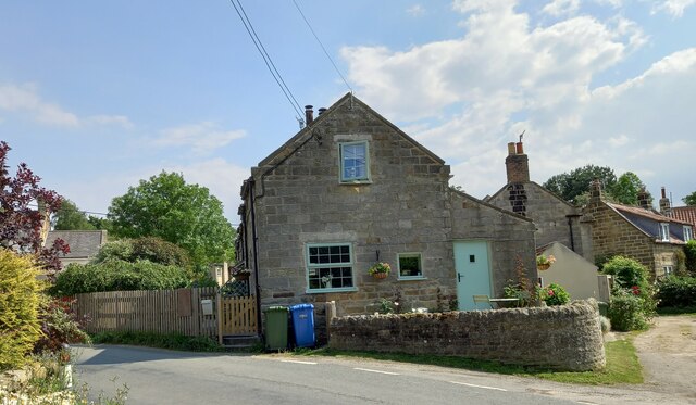
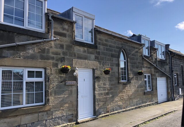
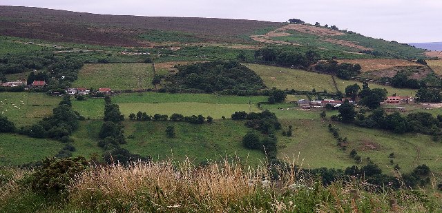
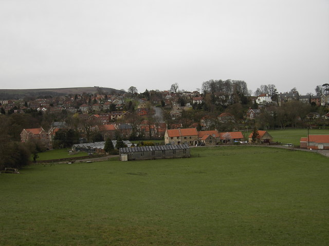
Eskdaleside is a small village situated in the district of Scarborough, in the county of Yorkshire, England. It is located within the scenic North York Moors National Park, offering residents and visitors breathtaking views of the surrounding countryside. The village is nestled in the Esk Valley, which is renowned for its picturesque landscapes and charming villages.
Eskdaleside is home to a close-knit community, with a population of around 500 people. The village boasts a range of amenities, including a local pub, a village hall, and a primary school. The primary school has a good reputation and serves the educational needs of the village and surrounding areas.
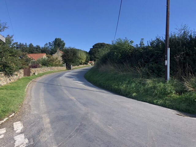
The village is surrounded by lush green fields, rolling hills, and dense woodlands, making it an ideal location for outdoor enthusiasts. Hiking and walking trails are abundant in the area, allowing visitors to explore the natural beauty of the North York Moors. Additionally, the nearby River Esk provides opportunities for fishing and boating.
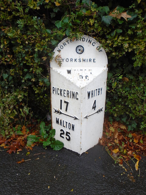
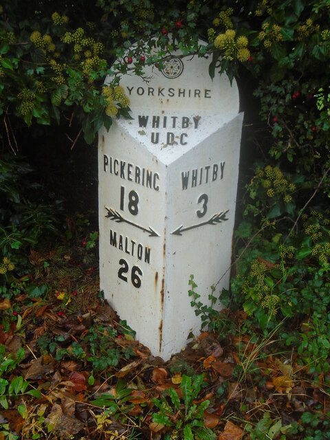
Eskdaleside is also within close proximity to other attractions in the area. The historic town of Whitby, famous for its abbey ruins and association with Bram Stoker's Dracula, is just a short drive away. The popular seaside resort town of Scarborough is also within easy reach, offering sandy beaches, amusement arcades, and a vibrant entertainment scene.
Overall, Eskdaleside offers a tranquil and idyllic setting, with its rural charm and stunning natural surroundings. It provides a peaceful retreat for those seeking a slower pace of life, while still being within reach of larger towns and attractions in the region.
If you have any feedback on the listing, please let us know in the comments section below.
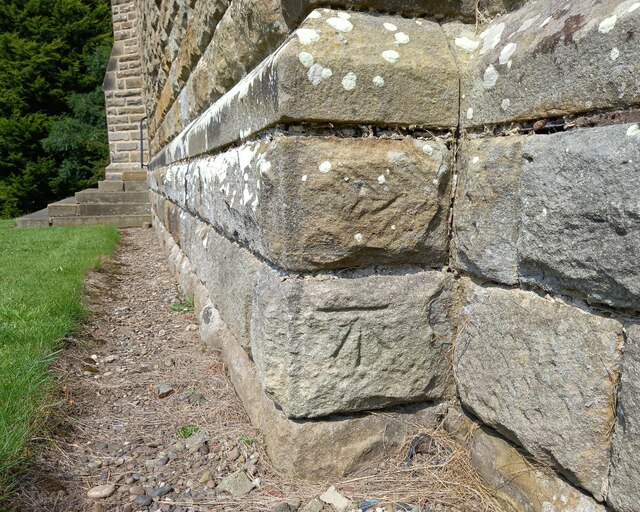
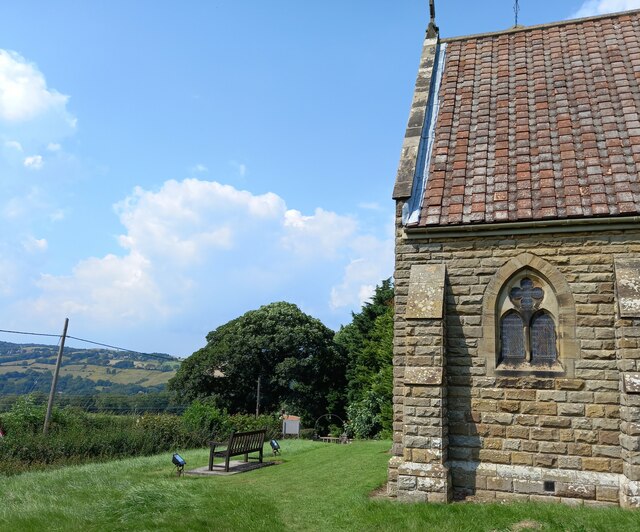
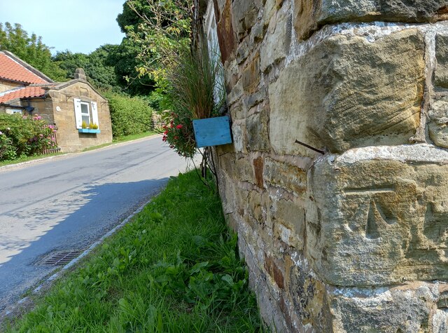
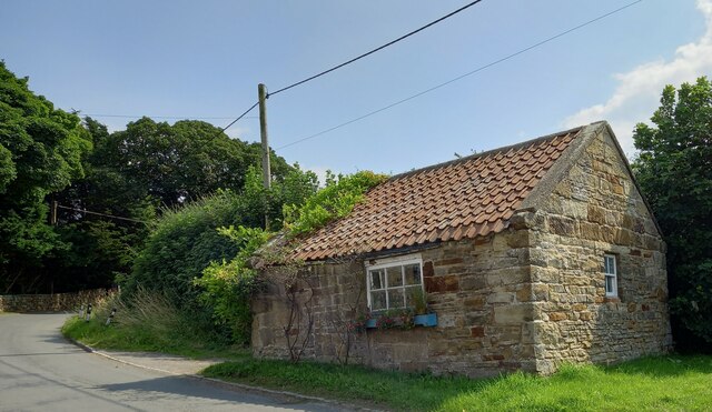
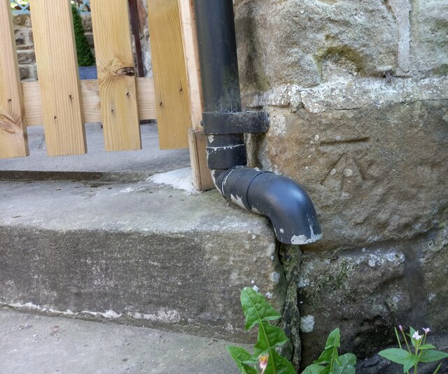
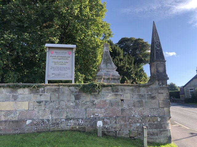
Eskdaleside Images
Images are sourced within 2km of 54.448905/-0.66782747 or Grid Reference NZ8606. Thanks to Geograph Open Source API. All images are credited.


Eskdaleside is located at Grid Ref: NZ8606 (Lat: 54.448905, Lng: -0.66782747)
Division: North Riding
Administrative County: North Yorkshire
District: Scarborough
Police Authority: North Yorkshire
What 3 Words
///ounce.jokers.movement. Near Sleights, North Yorkshire
Nearby Locations
Related Wikis
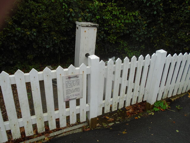
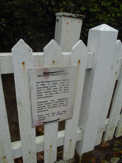
Sleights
Sleights is a village in North Yorkshire, England. Located in the Esk Valley in the postal region of Whitby, the village is part of the civil parish of...
Eskdaleside cum Ugglebarnby
Eskdaleside cum Ugglebarnby is a civil parish in the Scarborough district of North Yorkshire, England, comprising the two villages of Sleights and Ugglebarnby...

Briggswath
Briggswath is a village in the Scarborough district of North Yorkshire, England. the settlement is on the north bank of the River Esk, upstream of Ruswarp...
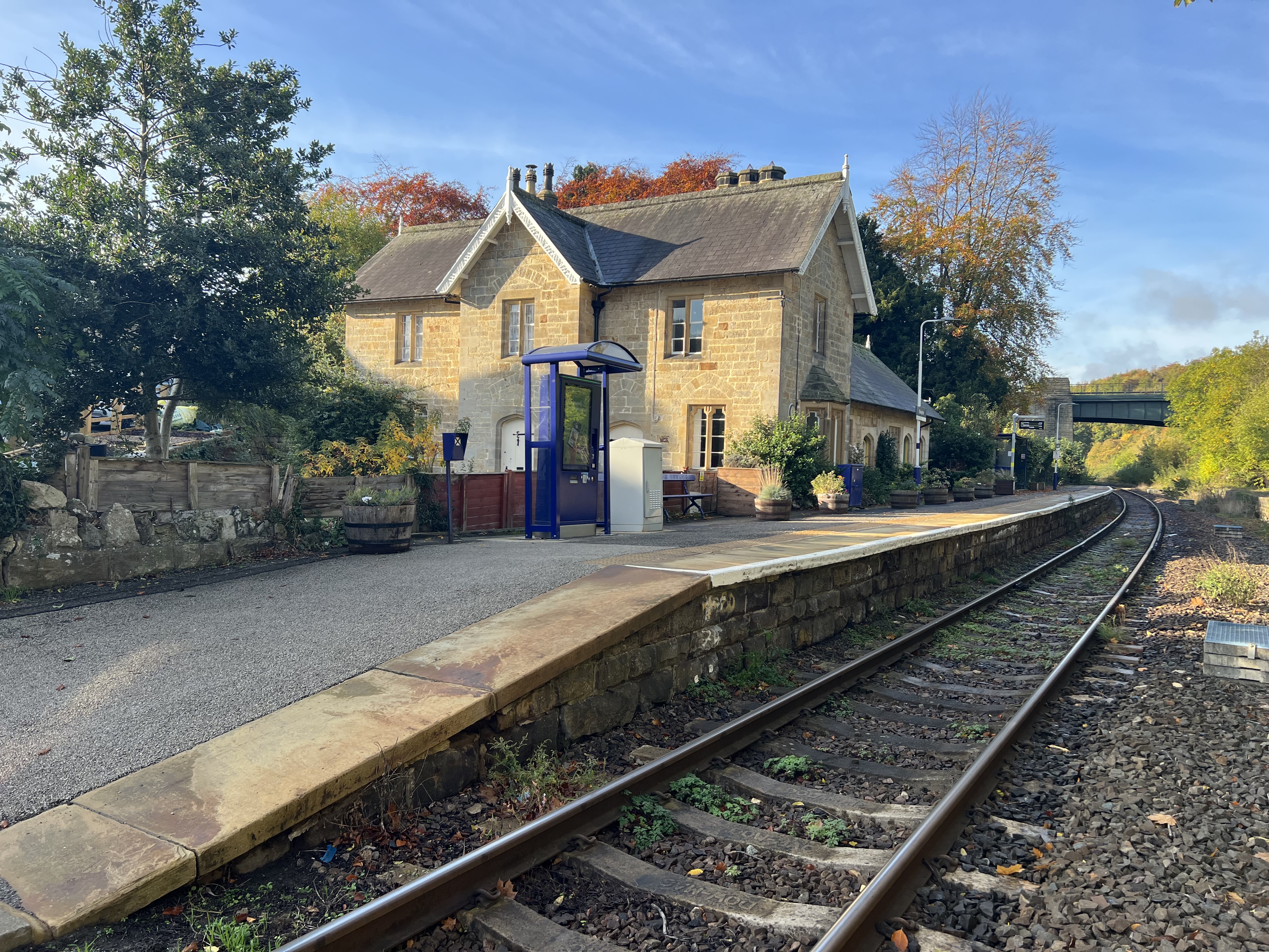
Sleights railway station
Sleights is a railway station on the Esk Valley Line, which runs between Middlesbrough and Whitby via Nunthorpe. The station, situated 2 miles 78 chains...
Nearby Amenities
Located within 500m of 54.448905,-0.66782747Have you been to Eskdaleside?
Leave your review of Eskdaleside below (or comments, questions and feedback).