Elm Tree

Settlement in Durham

England

Elm Tree

Pedestrian & Cycle Route, Roseworth
Pedestrian & Cycle Route, Roseworth Credit: David Robinson

Elm Tree is a suburban area located in County Durham, England. Situated approximately 3 miles east of Durham City Centre, it is part of the larger town of Durham. Elm Tree is primarily a residential area, known for its peaceful and family-friendly environment.

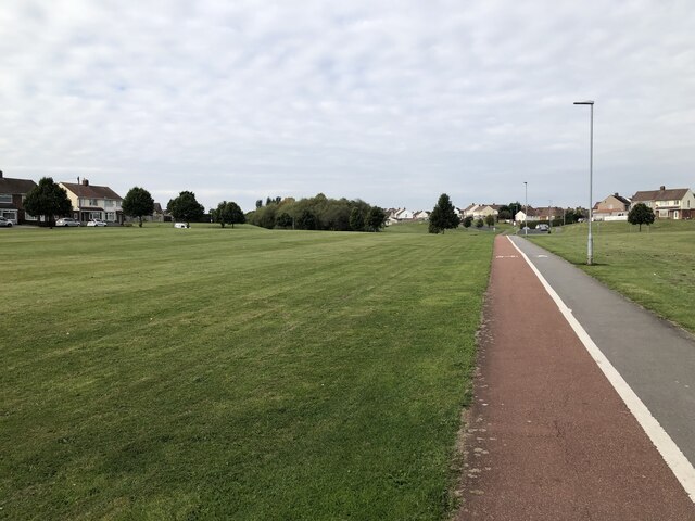
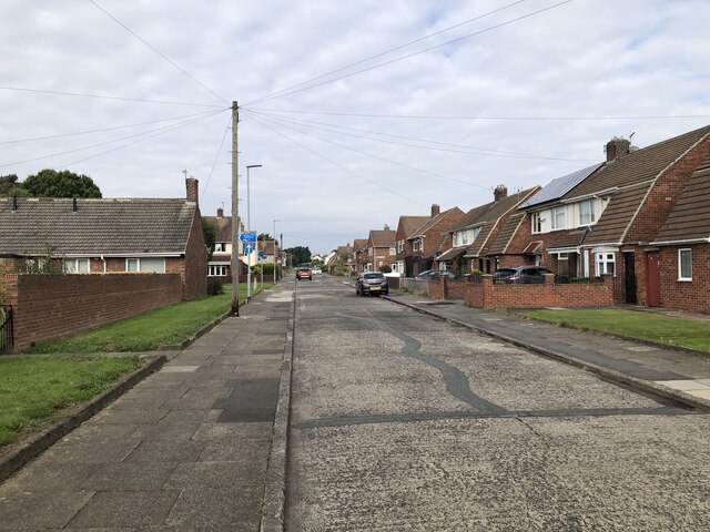
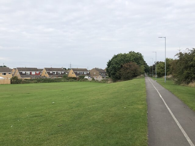
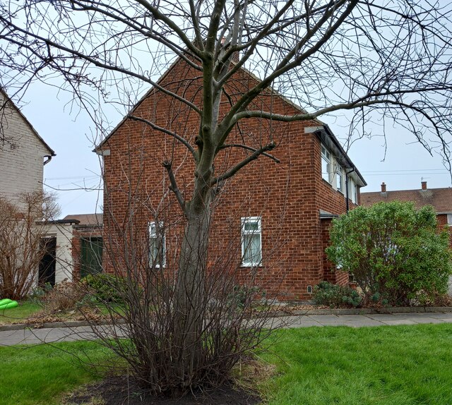
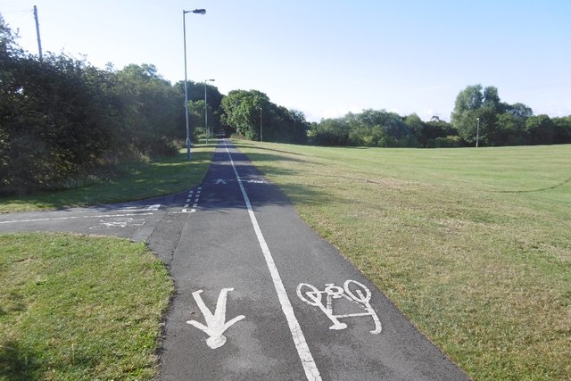
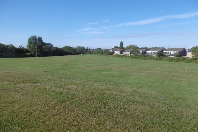
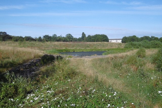
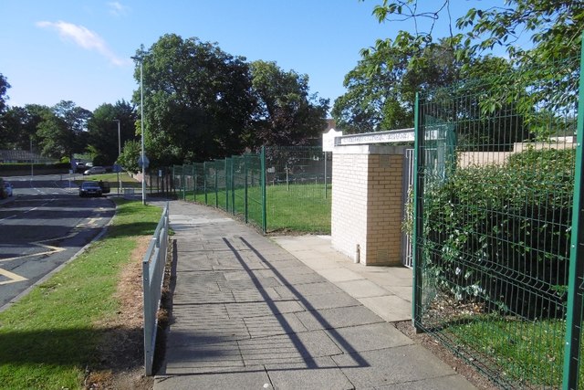
The area is characterized by its tree-lined streets and well-maintained houses, many of which are detached or semi-detached properties. Elm Tree benefits from its close proximity to various amenities. It is home to a primary school, making it a popular choice for families with young children. Additionally, there are several green spaces and parks nearby, providing opportunities for outdoor activities and recreation.

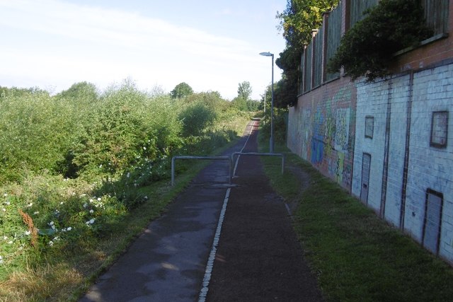
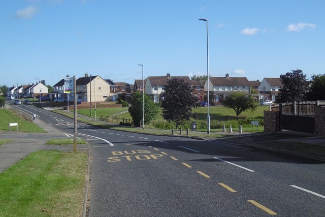
Elm Tree enjoys excellent transport links, with easy access to major roads such as the A1(M) and A690, making it convenient for commuters to travel to nearby cities like Newcastle and Sunderland. The area is also served by regular bus services, connecting residents to Durham City Centre and other nearby towns.

For shopping and entertainment, residents can visit the nearby Arnison Retail Park, which houses a variety of stores, restaurants, and a cinema. Elm Tree also benefits from being close to Durham City Centre, where residents can find a wider range of shops, restaurants, and cultural attractions.

In summary, Elm Tree offers a tranquil residential environment with convenient access to amenities, making it an attractive place to live for families and professionals alike.

If you have any feedback on the listing, please let us know in the comments section below.
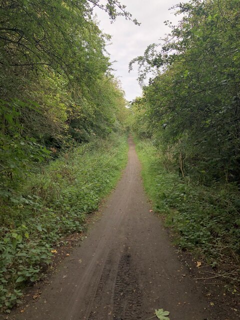
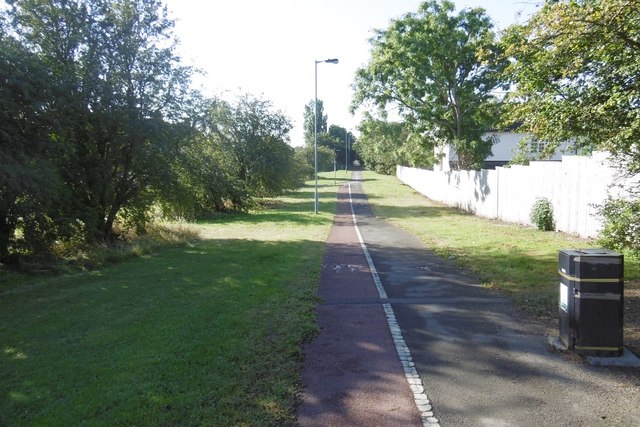
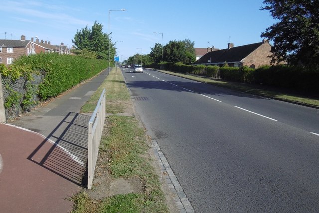
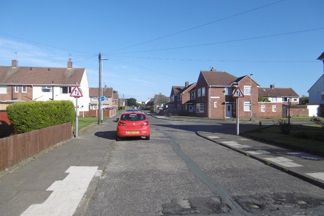
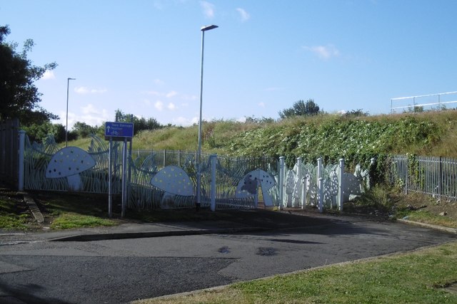
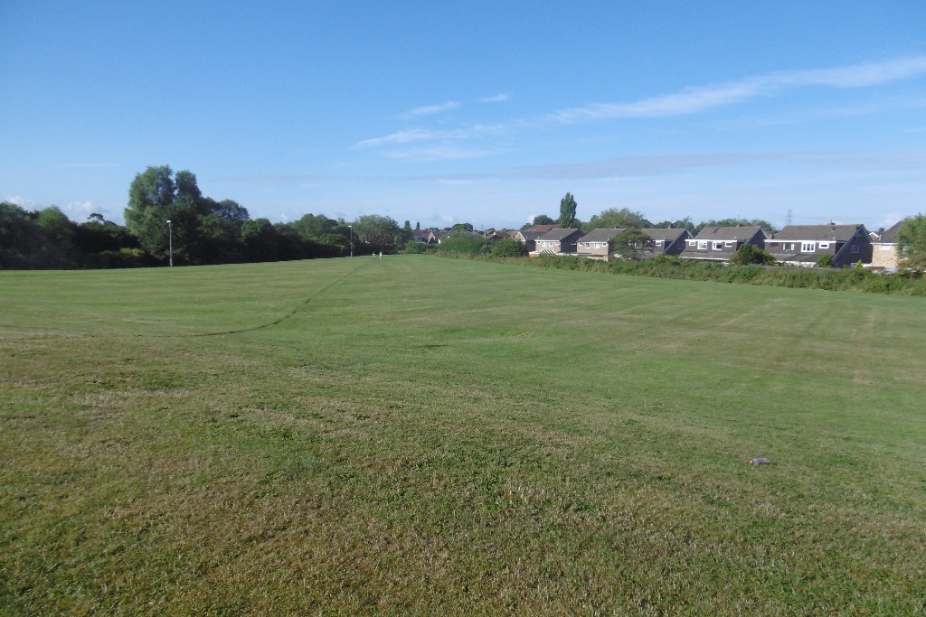
Elm Tree Images

Images are sourced within 2km of 54.573209/-1.3484618 or Grid Reference NZ4219. Thanks to Geograph Open Source API. All images are credited.

Pedestrian & Cycle Route, Roseworth
Rothwell Crescent, Roseworth, Stockton
Overgrown Entrance to Nature Reserve Gated entrance that doesn't appear to see a lot of use at the north end of Hardwick Dene & Elm Tree Woods Nature Reserve. The reserve lies within urban Stockton, behind the site of the General Hospital.
Overgrown Entrance to Nature Reserve
Gated entrance that doesn't appear to see a lot of use at the north end of Hardwick Dene & Elm Tree Woods Nature Reserve. The reserve lies within urban Stockton, behind the site of the General Hospital.
Pedestrian & Cycle Route Part of the National Cycle Route 1, this stretch of former railway line was an early example of electrification in Britain. The route was part of the Shildon - Newport (Middlesbrough) line that was electrified by NER in 1915 using 1500 V DC overhead. The electrification was removed in 1935, reduced coal traffic making renewal / upgrade uneconomic.
Pedestrian & Cycle Route
Part of the National Cycle Route 1, this stretch of former railway line was an early example of electrification in Britain. The route was part of the Shildon - Newport (Middlesbrough) line that was electrified by NER in 1915 using 1500 V DC overhead. The electrification was removed in 1935, reduced coal traffic making renewal / upgrade uneconomic.
National Cycle Route 1, Former Castle Eden Branch Former railway now used as the National Cycle Route 1. This Castle Eden Railway didn't actually pass through Castle Eden, it ran from Bowesfield Junction, Stockton to Wingate where the line continued onward to Sunderland via the Durham & Sunderland Railway.
National Cycle Route 1, Former Castle Eden Branch
Former railway now used as the National Cycle Route 1. This Castle Eden Railway didn't actually pass through Castle Eden, it ran from Bowesfield Junction, Stockton to Wingate where the line continued onward to Sunderland via the Durham & Sunderland Railway.
Norton, 89 Renvyle Avenue The OS Flush Bracket, S8808, is embedded into the south west facing wall of the private house.
Norton, 89 Renvyle Avenue
The OS Flush Bracket, S8808, is embedded into the south west facing wall of the private house.
Norton, 89 Renvyle Avenue The OS Flush Bracket, S8808, is embedded into the south west facing wall of the private house. It can be seen at the bottom right of the gable end.
Norton, 89 Renvyle Avenue
The OS Flush Bracket, S8808, is embedded into the south west facing wall of the private house. It can be seen at the bottom right of the gable end.
Harrogate Road, Stockton The edge of Stockton. The road once crossed the Castle Eden Railway by a bridge here.
Harrogate Road, Stockton
The edge of Stockton. The road once crossed the Castle Eden Railway by a bridge here.
Site of the Stockton and Castle Eden Branch Now in  urban Stockton, the railway trackbed is used as path.  This is the start of over 30km of urban riding during which the half (if lucky) of the path for bikes kept swapping over.
Site of the Stockton and Castle Eden Branch
Now in urban Stockton, the railway trackbed is used as path. This is the start of over 30km of urban riding during which the half (if lucky) of the path for bikes kept swapping over.
Path, Stockton Really too narrow to split in two like this.  There is a vast area of mown grass on the right. The 1953 1:25,000 map shows farmland on either side of the railway.
Path, Stockton
Really too narrow to split in two like this. There is a vast area of mown grass on the right. The 1953 1:25,000 map shows farmland on either side of the railway.
Mown area, Bishopsgarth Farmland on the 1953 1:25,000 map.
Mown area, Bishopsgarth
Farmland on the 1953 1:25,000 map.
Hardwick Dene and Elmtree Woods Nature Reserve Near the site of High Newham Farm, a wetland area.
Hardwick Dene and Elmtree Woods Nature Reserve
Near the site of High Newham Farm, a wetland area.
Path passing Butterwick Hospice Hardwick Dene and Elmtree Woods Nature Reserve on the left.
Path passing Butterwick Hospice
Hardwick Dene and Elmtree Woods Nature Reserve on the left.
Durham Road, Stockton A cycle path emerges from the left.
Durham Road, Stockton
A cycle path emerges from the left.
Rothwell Crescent
Rothwell Crescent
Ragpath Lane Passing St Gregory's Catholic Academy. (A primary school)
Ragpath Lane
Passing St Gregory's Catholic Academy. (A primary school)
Ragpath Lane The area  east of Durham Road was urban on the 1953 1:25,000 map but has since been redeveloped with a different road pattern, including Ragpath Lane which is not on that map.
Ragpath Lane
The area east of Durham Road was urban on the 1953 1:25,000 map but has since been redeveloped with a different road pattern, including Ragpath Lane which is not on that map.
Ornate gates, Great North Park Route 1 starts a long off road section in Stockton on Tees - once you have got past the gate.  It's more ornate than the usual obstacles but just as annoying.  This was once a heavy industrial site.  

The railway on the embankment is still in use.
Ornate gates, Great North Park
Route 1 starts a long off road section in Stockton on Tees - once you have got past the gate. It's more ornate than the usual obstacles but just as annoying. This was once a heavy industrial site. The railway on the embankment is still in use.
Show me another place!

Elm Tree is located at Grid Ref: NZ4219 (Lat: 54.573209, Lng: -1.3484618)

Unitary Authority: Stockton-on-Tees

Police Authority: Cleveland

What 3 Words

///trunk.mouse.serves. Near Stockton-on-Tees, Co. Durham

Nearby Locations

Elm Tree

Related Wikis

Elm Tree Farm

Elm Tree Farm is a west Stockton area in the borough of Stockton-on-Tees, County Durham, northern England. Whitehouse Primary School is in the area. It...

Our Lady and St Bede Catholic Academy

Our Lady and St Bede Catholic Academy (formerly Our Lady and St Bede RC School) is a coeducational secondary school located in Stockton-on-Tees, County...

Stockton Town F.C.

Stockton Town Football Club is an English football club based in Stockton-on-Tees, England. They are currently members of the Northern Premier League Division...

Fairfield, County Durham

Fairfield is in western Stockton in the borough of Stockton-on-Tees, County Durham, England. The area is home to several schools and a small library....

The Grangefield Academy

The Grangefield Academy is a secondary school with academy status situated in the heart of the borough of Stockton on Tees, on Oxbridge Avenue, Grangefield...

Bishopsgarth

Bishopsgarth is a west Stockton area in the borough of Stockton-on-Tees, County Durham, England. It is part of Bishopsgarth and Elm Tree Ward, which had...

The Grangefield Ground

The Grangefield Ground is a multi-purpose sport grounds located in Grangefield, Stockton-on-Tees, England. It focuses on cricket and rugby union. It is...

University Hospital of North Tees

The University Hospital of North Tees is a general hospital in Stockton-on-Tees, England which provides healthcare to people living in the south east of...

Related Videos

Preston Park and River Tees Walk, Stockton on Tees

We discovered Preston Park, was a short walking distance from our hotel, (Near Yarm, Stockton on Tees.) In addition to our ...

Nearby Amenities

Located within 500m of 54.573209,-1.3484618
Bus Stop
Lat/Long: 54.5731238/-1.3461503
Public Transport: stop_position
Lat/Long: 54.5725151/-1.3529745
Junction: yes
Lat/Long: 54.5773049/-1.3466393
Elmtree Convenience Store
Shop: convenience
Lat/Long: 54.5733661/-1.349874
Post Box
Lat/Long: 54.5729883/-1.3503642
Junction: yes
Lat/Long: 54.5736332/-1.3486593
Junction: yes
Lat/Long: 54.5742489/-1.3487767
Junction: yes
Lat/Long: 54.5739444/-1.3487463
Junction: yes
Lat/Long: 54.5744978/-1.3474866
Junction: yes
Lat/Long: 54.5743926/-1.3459733
Junction: yes
Lat/Long: 54.57273/-1.3448002
Junction: yes
Lat/Long: 54.5725154/-1.3453479
Junction: yes
Lat/Long: 54.5740693/-1.3478216
Junction: yes
Lat/Long: 54.5738786/-1.3455735
Junction: yes
Lat/Long: 54.5734788/-1.3451482
Junction: yes
Lat/Long: 54.5726074/-1.3444115
Junction: yes
Lat/Long: 54.5736397/-1.3453702
Junction: yes
Lat/Long: 54.5733323/-1.3449369
Junction: yes
Lat/Long: 54.5702359/-1.3479479
Recycling
Recycling Clothes: yes
Recycling Glass: yes
Lat/Long: 54.573622/-1.3494022
Bus Stop
Lat/Long: 54.5714358/-1.3416356
Bus Stop
Lat/Long: 54.5714042/-1.3428693
Bus: yes
Public Transport: stop_position
Lat/Long: 54.5729667/-1.3500977
Turning Circle
Lat/Long: 54.5694597/-1.3498284
Noexit: yes
Lat/Long: 54.5728802/-1.3557234
Junction: yes
Lat/Long: 54.5775462/-1.3499696
Junction: yes
Lat/Long: 54.5773804/-1.3505536
Junction: yes
Lat/Long: 54.577315/-1.3511537
Junction: yes
Lat/Long: 54.5772442/-1.3494675
Traffic Calming: table
Lat/Long: 54.5729171/-1.3515916
Public Transport: stop_position
Lat/Long: 54.5724475/-1.3535213
Crossing Island: yes
Lat/Long: 54.573288/-1.3555404
Traffic Calming: table
Lat/Long: 54.5773014/-1.3516044
Noexit: yes
Lat/Long: 54.5739846/-1.3429995
Bus Stop
Lat/Long: 54.5731227/-1.3491101
Crossing
Crossing: island
Lat/Long: 54.5730595/-1.3495626
Stockton Town Football Club
Addr City: Stockton-on-Tees
Addr Housename: Stockton Town Football Club
Addr Parentstreet: Bishopton Road West
Addr Postcode: TS19 0QD
Addr Street: Stockton Sixth Form College
Building: yes
Designation: sport=soccer
Leisure: sports_centre
Source: local_knowledge
Sport: soccer
Lat/Long: 54.5704519/-1.3424307
Traffic Calming: table
Lat/Long: 54.573421/-1.3516892
Traffic Calming: cushion
Lat/Long: 54.5770056/-1.3493285
Traffic Calming: table
Lat/Long: 54.577351/-1.3507158
Crossing
Crossing Island: yes
Lat/Long: 54.5766677/-1.3484466
Bus: yes
Public Transport: stop_position
Lat/Long: 54.5767099/-1.3508375
Bus Stop
Norwich Avenue
Lat/Long: 54.5766821/-1.3518093
Bus: yes
Public Transport: stop_position
Lat/Long: 54.5723351/-1.3452625
Crossing
Crossing: uncontrolled
Lat/Long: 54.5725751/-1.3546603
Bus Stop
Lowick Close
Bench: no
Loc Ref: 1
Public Transport: platform
Shelter: no
Source: Bing
Tactile Paving: no
Lat/Long: 54.5723897/-1.3535074
Bus Stop
Lowick Close
Bench: no
Loc Ref: 2
Naptan AtcoCode: 077072618B
Naptan NaptanCode: sktgmaj
Public Transport: platform
Shelter: no
Source: Bing
Tactile Paving: no
Lat/Long: 54.5725797/-1.3530058
Bus Stop
Norwich Avenue
Kerb: raised
Naptan AtcoCode: 077072650A
Naptan NaptanCode: sktgpdp
Public Transport: platform
Source: Bing
Tactile Paving: yes
Lat/Long: 54.5767879/-1.3508727
Bicycle Parking
Bicycle Parking: stands
Covered: yes
Fee: no
Lat/Long: 54.5734676/-1.3507506
Crossing
Crossing: unmarked
Lat/Long: 54.5729135/-1.3504254
Crossing
Lat/Long: 54.5713529/-1.3441128
Generator Method: photovoltaic
Generator Output Electricity: yes
Generator Source: solar
Generator Type: solar_photovoltaic_panel
Location: roof
Power: generator
Lat/Long: 54.5755459/-1.3441247
Generator Method: photovoltaic
Generator Output Electricity: yes
Generator Source: solar
Generator Type: solar_photovoltaic_panel
Location: roof
Power: generator
Lat/Long: 54.5761071/-1.3439825
Generator Method: photovoltaic
Generator Output Electricity: yes
Generator Source: solar
Generator Type: solar_photovoltaic_panel
Location: roof
Power: generator
Lat/Long: 54.5765113/-1.3437921
Generator Method: photovoltaic
Generator Output Electricity: yes
Generator Source: solar
Generator Type: solar_photovoltaic_panel
Location: roof
Power: generator
Lat/Long: 54.5772023/-1.3458896
Generator Method: photovoltaic
Generator Output Electricity: yes
Generator Source: solar
Generator Type: solar_photovoltaic_panel
Location: roof
Power: generator
Lat/Long: 54.5771736/-1.3460505
Generator Method: photovoltaic
Generator Output Electricity: yes
Generator Source: solar
Generator Type: solar_photovoltaic_panel
Location: roof
Power: generator
Lat/Long: 54.577144/-1.3512111
Generator Method: photovoltaic
Generator Output Electricity: yes
Generator Source: solar
Generator Type: solar_photovoltaic_panel
Location: roof
Power: generator
Lat/Long: 54.5764507/-1.3511252
Generator Method: photovoltaic
Generator Output Electricity: yes
Generator Source: solar
Generator Type: solar_photovoltaic_panel
Location: roof
Power: generator
Lat/Long: 54.5761351/-1.3505298
Generator Method: photovoltaic
Generator Output Electricity: yes
Generator Source: solar
Generator Type: solar_photovoltaic_panel
Location: roof
Power: generator
Lat/Long: 54.5761724/-1.3510287
Generator Method: photovoltaic
Generator Output Electricity: yes
Generator Source: solar
Generator Type: solar_photovoltaic_panel
Location: roof
Power: generator
Lat/Long: 54.5761739/-1.3509911
Generator Method: photovoltaic
Generator Output Electricity: yes
Generator Source: solar
Generator Type: solar_photovoltaic_panel
Location: roof
Power: generator
Lat/Long: 54.5758179/-1.3514525
Generator Method: photovoltaic
Generator Output Electricity: yes
Generator Source: solar
Generator Type: solar_photovoltaic_panel
Location: roof
Power: generator
Lat/Long: 54.575849/-1.3514257
Generator Method: photovoltaic
Generator Output Electricity: yes
Generator Source: solar
Generator Type: solar_photovoltaic_panel
Location: roof
Power: generator
Lat/Long: 54.5758397/-1.3516215
Generator Method: photovoltaic
Generator Output Electricity: yes
Generator Source: solar
Generator Type: solar_photovoltaic_panel
Location: roof
Power: generator
Lat/Long: 54.5760822/-1.3535848
Generator Method: photovoltaic
Generator Output Electricity: yes
Generator Source: solar
Generator Type: solar_photovoltaic_panel
Location: roof
Power: generator
Lat/Long: 54.5752474/-1.3553631
Generator Method: photovoltaic
Generator Output Electricity: yes
Generator Source: solar
Generator Type: solar_photovoltaic_panel
Location: roof
Power: generator
Lat/Long: 54.5742648/-1.3555884
Generator Method: photovoltaic
Generator Output Electricity: yes
Generator Source: solar
Generator Type: solar_photovoltaic_panel
Location: roof
Power: generator
Lat/Long: 54.5753251/-1.34895
Generator Method: photovoltaic
Generator Output Electricity: yes
Generator Source: solar
Generator Type: solar_photovoltaic_panel
Location: roof
Power: generator
Lat/Long: 54.5745586/-1.3461256
Generator Method: photovoltaic
Generator Output Electricity: yes
Generator Source: solar
Generator Type: solar_photovoltaic_panel
Location: roof
Power: generator
Lat/Long: 54.5742383/-1.3468874
Generator Method: photovoltaic
Generator Output Electricity: yes
Generator Source: solar
Generator Type: solar_photovoltaic_panel
Location: roof
Power: generator
Lat/Long: 54.5742694/-1.3462544
Generator Method: photovoltaic
Generator Output Electricity: yes
Generator Source: solar
Generator Type: solar_photovoltaic_panel
Location: roof
Power: generator
Lat/Long: 54.5742275/-1.3418233
Generator Method: photovoltaic
Generator Output Electricity: yes
Generator Source: solar
Generator Type: solar_photovoltaic_panel
Location: roof
Power: generator
Lat/Long: 54.5732324/-1.3414532
Generator Method: photovoltaic
Generator Output Electricity: yes
Generator Source: solar
Generator Type: solar_photovoltaic_panel
Location: roof
Power: generator
Lat/Long: 54.5730925/-1.3453075
Generator Method: photovoltaic
Generator Output Electricity: yes
Generator Source: solar
Generator Type: solar_photovoltaic_panel
Location: roof
Power: generator
Lat/Long: 54.5728873/-1.3519326
Generator Method: photovoltaic
Generator Output Electricity: yes
Generator Source: solar
Generator Type: solar_photovoltaic_panel
Location: roof
Power: generator
Lat/Long: 54.5731889/-1.3510126
Generator Method: photovoltaic
Generator Output Electricity: yes
Generator Source: solar
Generator Type: solar_photovoltaic_panel
Location: roof
Power: generator
Lat/Long: 54.5737424/-1.3517207
Generator Method: photovoltaic
Generator Output Electricity: yes
Generator Source: solar
Generator Type: solar_photovoltaic_panel
Location: roof
Power: generator
Lat/Long: 54.5735682/-1.3526595
Generator Method: photovoltaic
Generator Output Electricity: yes
Generator Source: solar
Generator Type: solar_photovoltaic_panel
Location: roof
Power: generator
Lat/Long: 54.5733926/-1.3533381
Generator Method: photovoltaic
Generator Output Electricity: yes
Generator Source: solar
Generator Type: solar_photovoltaic_panel
Location: roof
Power: generator
Lat/Long: 54.5724473/-1.3559023
Generator Method: photovoltaic
Generator Output Electricity: yes
Generator Source: solar
Generator Type: solar_photovoltaic_panel
Location: roof
Power: generator
Lat/Long: 54.5726245/-1.3493148
Generator Method: photovoltaic
Generator Output Electricity: yes
Generator Source: solar
Generator Type: solar_photovoltaic_panel
Location: roof
Power: generator
Lat/Long: 54.5726571/-1.3482392
Generator Method: photovoltaic
Generator Output Electricity: yes
Generator Source: solar
Generator Type: solar_photovoltaic_panel
Location: roof
Power: generator
Lat/Long: 54.5725405/-1.3446745
Generator Method: photovoltaic
Generator Output Electricity: yes
Generator Source: solar
Generator Type: solar_photovoltaic_panel
Location: roof
Power: generator
Lat/Long: 54.5715626/-1.3445699
Generator Method: photovoltaic
Generator Output Electricity: yes
Generator Source: solar
Generator Type: solar_photovoltaic_panel
Location: roof
Power: generator
Lat/Long: 54.5716527/-1.3448006
Generator Method: photovoltaic
Generator Output Electricity: yes
Generator Source: solar
Generator Type: solar_photovoltaic_panel
Location: roof
Power: generator
Lat/Long: 54.5716527/-1.3448623
Generator Method: photovoltaic
Generator Output Electricity: yes
Generator Source: solar
Generator Type: solar_photovoltaic_panel
Location: roof
Power: generator
Lat/Long: 54.5715237/-1.3468149
Generator Method: photovoltaic
Generator Output Electricity: yes
Generator Source: solar
Generator Type: solar_photovoltaic_panel
Location: roof
Power: generator
Lat/Long: 54.5720741/-1.3488722
Generator Method: photovoltaic
Generator Output Electricity: yes
Generator Source: solar
Generator Type: solar_photovoltaic_panel
Location: roof
Power: generator
Lat/Long: 54.5716481/-1.3490653
Generator Method: photovoltaic
Generator Output Electricity: yes
Generator Source: solar
Generator Type: solar_photovoltaic_panel
Location: roof
Power: generator
Lat/Long: 54.572015/-1.350157
Generator Method: photovoltaic
Generator Output Electricity: yes
Generator Source: solar
Generator Type: solar_photovoltaic_panel
Location: roof
Power: generator
Lat/Long: 54.5714802/-1.3535017
Waste Basket
Lat/Long: 54.573441/-1.3504197
Waste Basket
Lat/Long: 54.5732813/-1.3499098
Bus Stop
Bus: yes
Departures Board: timetable
Naptan AtcoCode: 077072398A
Naptan NaptanCode: sktawmj
Public Transport: platform
Shelter: no
Tactile Paving: yes
Wheelchair: yes
Lat/Long: 54.5723318/-1.3453351
Barrier: kerb
Tactile Paving: no
Wheelchair: limited
Lat/Long: 54.5709465/-1.3510801
Barrier: kerb
Kerb: lowered
Lat/Long: 54.5726289/-1.355101
Barrier: kerb
Lat/Long: 54.5727139/-1.3550552
Barrier: kerb
Lat/Long: 54.5727662/-1.3549526
Barrier: kerb
Kerb: flush
Lat/Long: 54.5732705/-1.3556042
Barrier: kerb
Kerb: flush
Lat/Long: 54.5733059/-1.3554709
Crossing
Crossing: unmarked
Lat/Long: 54.5740783/-1.3559853
Barrier: cycle_barrier
Lat/Long: 54.5747539/-1.3541362
Barrier: kerb
Lat/Long: 54.5746813/-1.3543472
Barrier: kerb
Lat/Long: 54.5755263/-1.3538594
Barrier: kerb
Lat/Long: 54.5757374/-1.3513432
Barrier: kerb
Lat/Long: 54.575745/-1.3512245
Barrier: kerb
Lat/Long: 54.5749035/-1.3550429
Barrier: kerb
Lat/Long: 54.574973/-1.3550478
Barrier: kerb
Lat/Long: 54.574679/-1.354819
Barrier: kerb
Lat/Long: 54.5746085/-1.3548256
Bus Stop
The Avenue (B)
Bench: yes
Bus: yes
Naptan AtcoCode: 077072374B
Naptan NaptanCode: sktatmg
Public Transport: platform
Shelter: yes
Lat/Long: 54.5696084/-1.3531082
Barrier: kerb
Kerb: lowered
Lat/Long: 54.5725883/-1.3550413
Barrier: kerb
Kerb: flush
Lat/Long: 54.5736904/-1.3561394
Barrier: kerb
Kerb: flush
Lat/Long: 54.5736527/-1.3561084
Barrier: kerb
Kerb: lowered
Lat/Long: 54.5722773/-1.3513566
Bus Stop
Bus: yes
Naptan AtcoCode: 077072399B
Naptan NaptanCode: sktawmw
Public Transport: platform
Shelter: yes
Lat/Long: 54.5730363/-1.3501649
Barrier: cycle_barrier
Bicycle: dismount
Lat/Long: 54.5719189/-1.3521459
Barrier: kerb
Lat/Long: 54.5727731/-1.3536119
Barrier: kerb
Lat/Long: 54.5727731/-1.3535515
Waste Basket
Lat/Long: 54.5730442/-1.3501139
Telecom: exchange
Lat/Long: 54.5740287/-1.3542053
Bench
Lat/Long: 54.5733056/-1.3504756
The data included in this document is from www.openstreetmap.org. The data is made available under ODbL.

Have you been to Elm Tree?

Leave your review of Elm Tree below (or comments, questions and feedback).