Egstow
Settlement in Derbyshire North East Derbyshire
England
Egstow
Egstow is a small village located in the district of Derbyshire, England. Situated in the heart of the county, Egstow is surrounded by picturesque countryside, offering residents and visitors a tranquil atmosphere and scenic views. The village is part of the Bolsover constituency and falls within the administrative area of Bolsover District Council.
Egstow has a rich history and is known for its close proximity to the historic Bolsover Castle, which is located just a short distance away. The castle, dating back to the 17th century, is a popular tourist attraction and provides a glimpse into the region's past. Visitors can explore the castle's well-preserved interiors, gardens, and enjoy events and exhibitions held throughout the year.
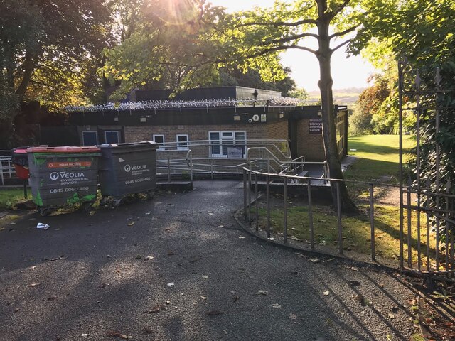
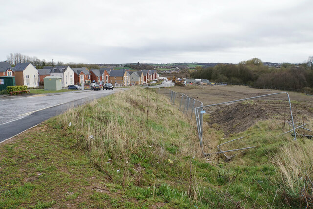
The village itself comprises mainly residential properties, with a small number of local businesses and amenities to cater to the needs of its residents. Egstow offers a quiet and close-knit community, with a strong sense of community spirit. The village is well-connected to nearby towns and cities, with good transportation links, making it an attractive place to live for those seeking a countryside lifestyle within reach of urban amenities.
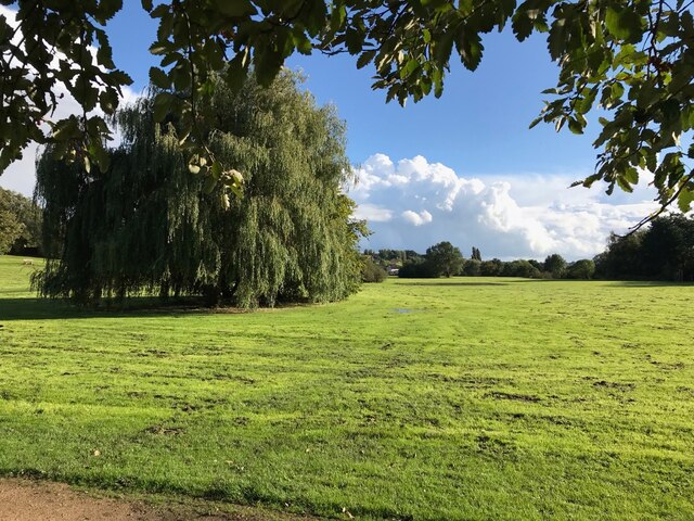
The surrounding countryside provides ample opportunities for outdoor activities such as hiking, cycling, and horse riding. The nearby Peak District National Park is also within easy reach, offering further opportunities for exploration and outdoor pursuits.
In summary, Egstow is a charming village in Derbyshire, offering a peaceful and picturesque setting, rich history, and proximity to notable attractions, making it an appealing place to live or visit for those seeking a countryside experience.
If you have any feedback on the listing, please let us know in the comments section below.
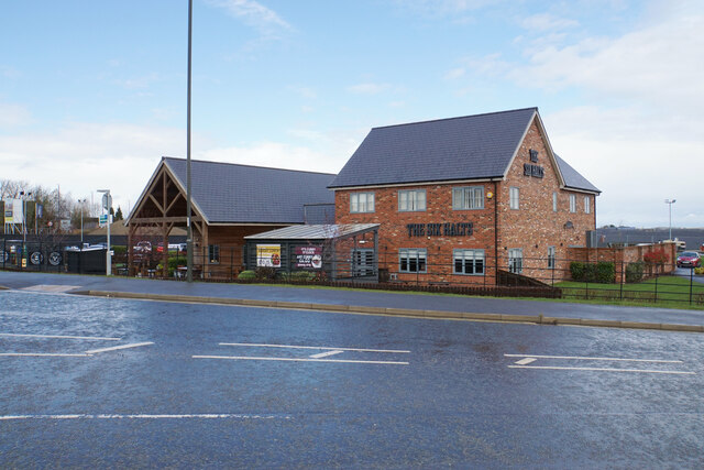
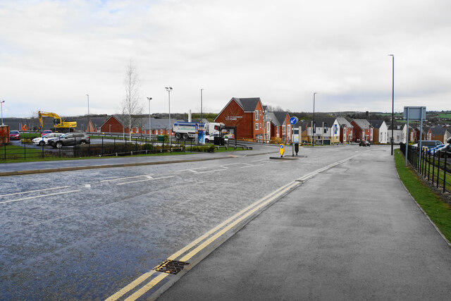
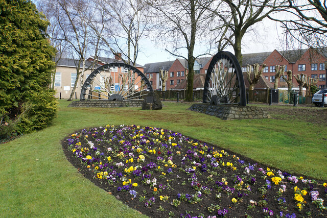
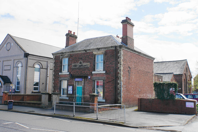
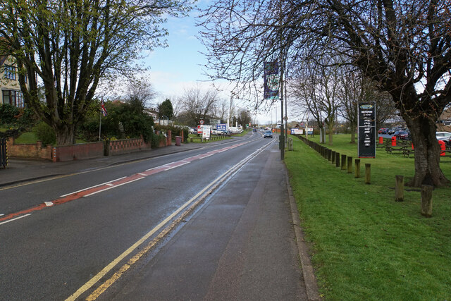
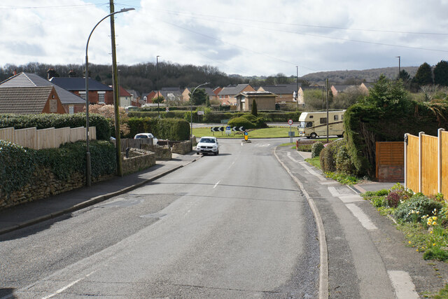
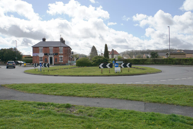
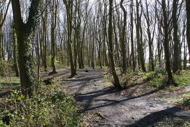
Egstow Images
Images are sourced within 2km of 53.171137/-1.4025449 or Grid Reference SK4063. Thanks to Geograph Open Source API. All images are credited.


Egstow is located at Grid Ref: SK4063 (Lat: 53.171137, Lng: -1.4025449)
Administrative County: Derbyshire
District: North East Derbyshire
Police Authority: Derbyshire
What 3 Words
///free.puzzles.static. Near Pilsley, Derbyshire
Related Wikis

Egstow
Egstow is an area of Clay Cross, Derbyshire, England. The civil parish of Egstow was created in 1894 as part of Clay Cross Urban District, and comprised...
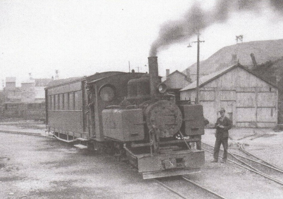
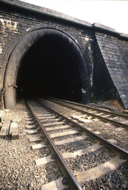
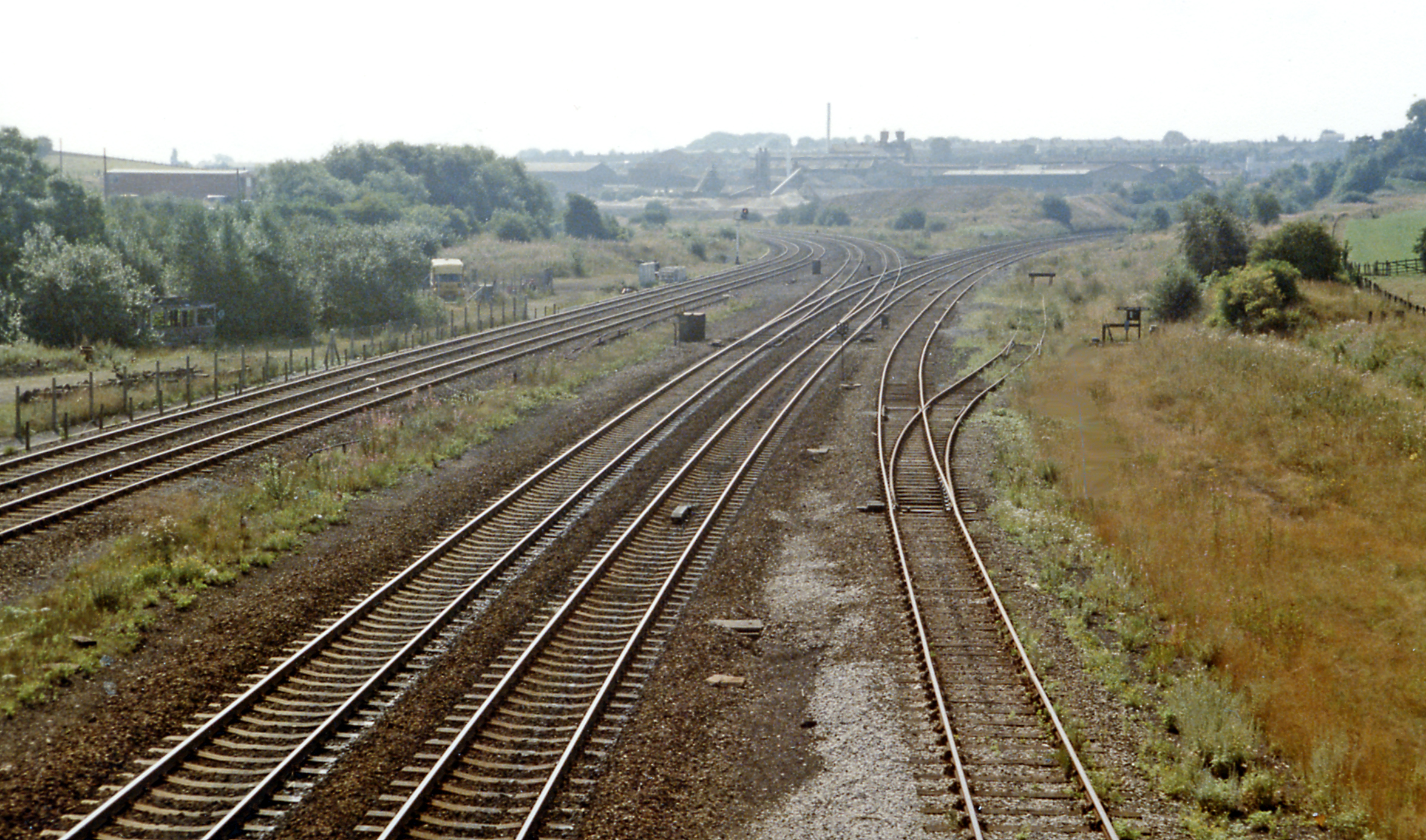
Clay Cross and Egstow railway station
Clay Cross and Egstow railway station the terminus of the Ashover Light Railway and it served the Egstow area of Clay Cross, North East Derbyshire, England...
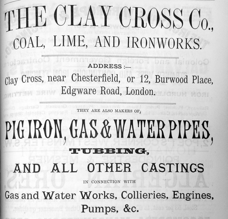
Clay Cross Company
The Clay Cross Company was founded as George Stephenson and Co. in 1837 by the railway pioneer, George Stephenson. The company established coal mines,...

St Lawrence's Church, North Wingfield
St Lawrence’s Church, North Wingfield is a Grade I listed parish church in the Church of England in North Wingfield, Derbyshire. == History == The porch...
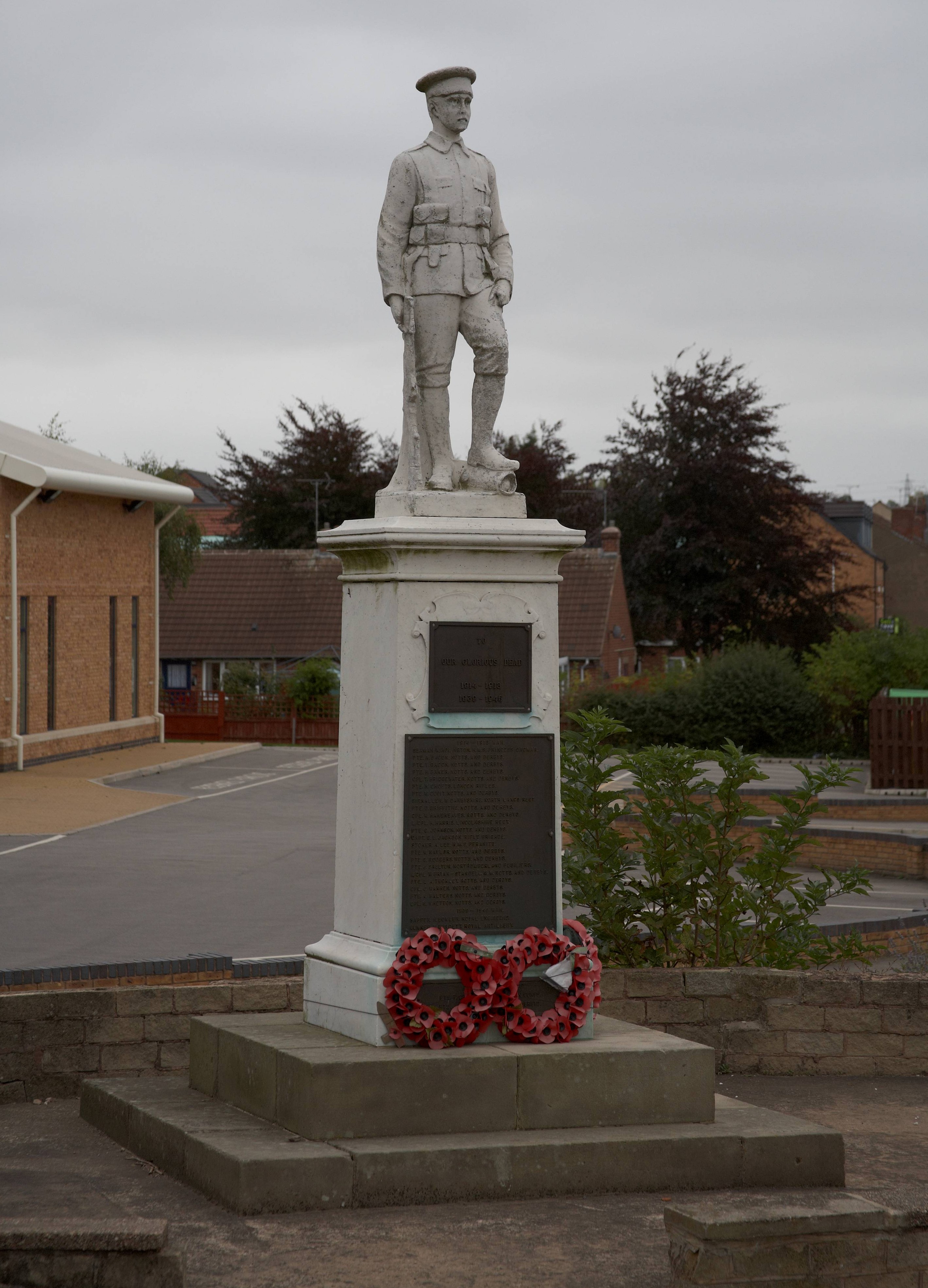
Danesmoor War Memorial
Danesmoor War Memorial is a 20th-century grade II listed war memorial in Clay Cross, Derbyshire. == History == The war memorial was unveiled on 11 August...

Clay Cross Urban District
Clay Cross was an Urban District in Derbyshire, England from 1894 to 1974. It was created under the Local Government Act 1894. It was enlarged in 1935...
Clay Cross
Clay Cross is a town and a civil parish in the North East Derbyshire district of Derbyshire, England. It is a former industrial and mining town, about...
Clay Cross railway station
Clay Cross railway station was a railway station built by the North Midland Railway in 1840. It served the town of Clay Cross in Derbyshire, England. It...
Nearby Amenities
Located within 500m of 53.171137,-1.4025449Have you been to Egstow?
Leave your review of Egstow below (or comments, questions and feedback).