Manor Hill Corner
Settlement in Lincolnshire South Holland
England
Manor Hill Corner
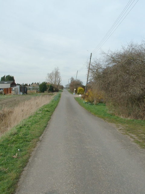
Manor Hill Corner is a small village located in the county of Lincolnshire, England. Situated in the East Midlands region, it is part of the North Kesteven district. The village is surrounded by picturesque countryside, featuring rolling hills and open fields, providing residents with a serene and tranquil environment.
Despite its small size, Manor Hill Corner boasts a strong sense of community. The village is home to a tight-knit population, known for its friendly and welcoming nature. The residents take pride in maintaining the village's charm and character.
The village itself is comprised of a mix of traditional stone cottages and more modern houses, creating a diverse architectural landscape. The village center features a few local businesses, including a small convenience store and a cozy pub, which serves as a gathering place for locals.
For amenities and services beyond what the village offers, residents have easy access to nearby towns and cities. Lincoln, the county town of Lincolnshire, is a short drive away and provides a wider range of shops, restaurants, and entertainment options.
Nature lovers will find plenty to explore in the surrounding area, with various walking and cycling routes available. The nearby countryside offers stunning views and opportunities for outdoor activities, such as birdwatching and picnicking.
Overall, Manor Hill Corner provides its residents with a peaceful and idyllic setting, perfect for those seeking a quiet village lifestyle while still having access to nearby urban amenities.
If you have any feedback on the listing, please let us know in the comments section below.
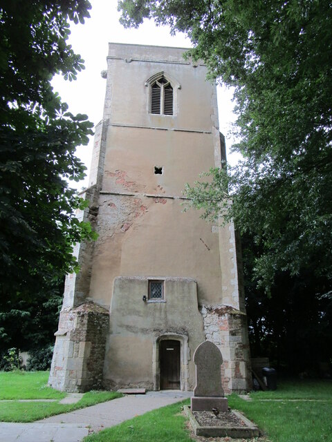
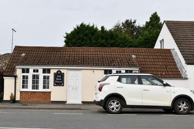
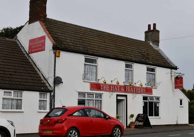
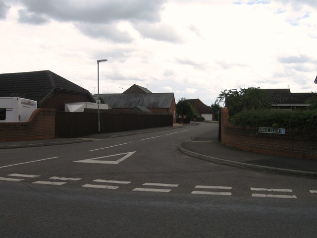
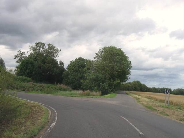
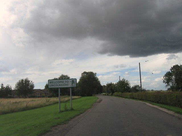
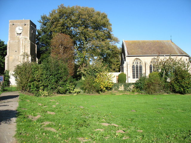
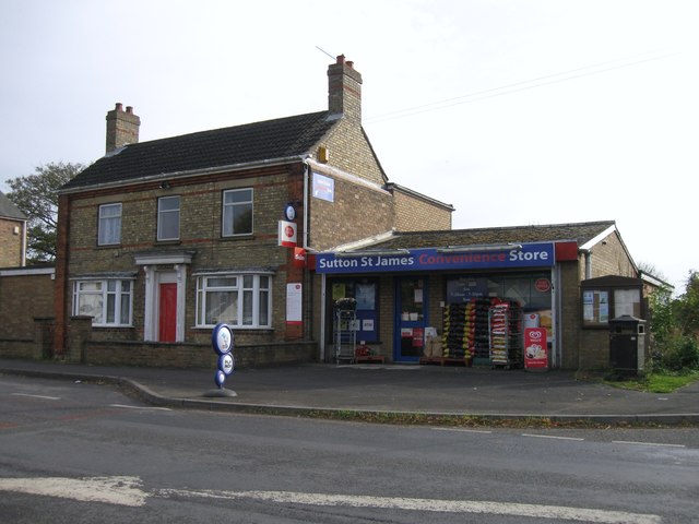
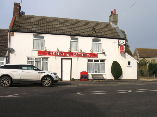
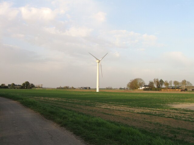
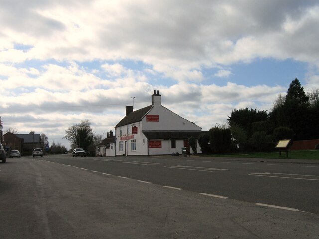
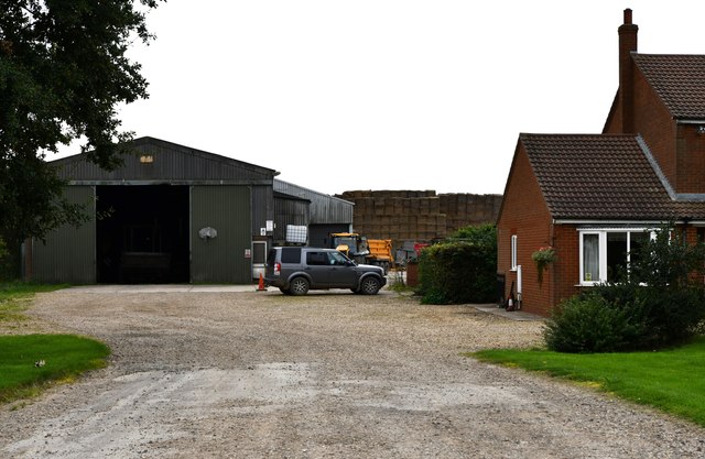
Manor Hill Corner Images
Images are sourced within 2km of 52.733/0.0829 or Grid Reference TF4017. Thanks to Geograph Open Source API. All images are credited.


Manor Hill Corner is located at Grid Ref: TF4017 (Lat: 52.733, Lng: 0.0829)
Division: Parts of Holland
Administrative County: Lincolnshire
District: South Holland
Police Authority: Lincolnshire
What 3 Words
///outbound.salsa.donation. Near Fleet, Lincolnshire
Nearby Locations
Related Wikis

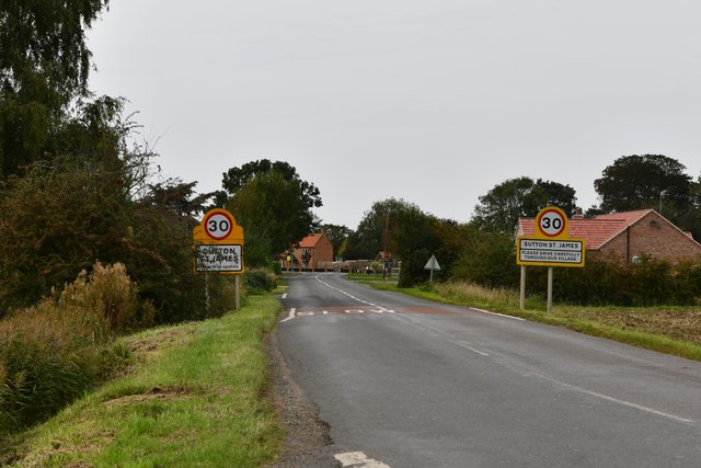
Sutton St James
Sutton St James is a village and civil parish in the South Holland district of Lincolnshire, England, about four miles (6.4 km) south-west of Long Sutton...

Tydd St Giles
Tydd St Giles is a village in Fenland, Cambridgeshire, England. It is the northernmost village in the Isle of Ely, Cambridgeshire (bordering Lincolnshire...

Grange Farm Arboretum
The Grange Farm Arboretum is a small private arboretum comprising 3 hectares accommodating over 800 trees, mostly native and ornamental species or cultivars...

Newton-in-the-Isle
Newton-in-the-Isle is a village and civil parish in the Fenland District of the Isle of Ely, Cambridgeshire, England, The village is 4 miles (6 km) to...
Nearby Amenities
Located within 500m of 52.733,0.0829Have you been to Manor Hill Corner?
Leave your review of Manor Hill Corner below (or comments, questions and feedback).