Edenstown

Settlement in Fife

Scotland

Edenstown

Council houses, Church Street, Ladybank
Council houses, Church Street, Ladybank Credit: Bill Harrison

Edenstown is a small village located in the historic county of Fife, Scotland. Situated approximately 4 miles northwest of the town of Cupar, Edenstown is nestled in a picturesque rural landscape, characterized by rolling hills and lush green fields.

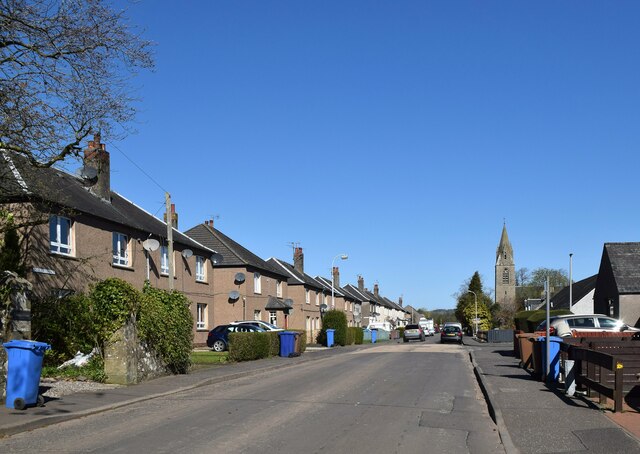
The village has a relatively small population, with around 300 residents, and is known for its close-knit community atmosphere. The architecture of Edenstown is predominantly traditional, with charming stone-built cottages dotting the village streets. The centerpiece of the village is the historic Edenstown Church, a beautiful 19th-century building that serves as a gathering place for the local community.

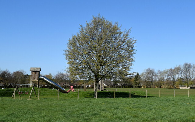
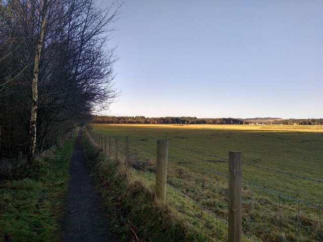
The surrounding countryside offers residents and visitors alike opportunities for outdoor activities, such as hiking, cycling, and horseback riding. The nearby Lomond Hills Regional Park is a popular destination for nature enthusiasts, offering stunning panoramic views of the surrounding area.

While Edenstown itself doesn't boast many amenities, the village is conveniently located within a short drive of larger towns, such as Cupar and St Andrews. These towns offer a wider range of services, including shops, restaurants, and recreational facilities.

Overall, Edenstown offers a peaceful and idyllic lifestyle, perfect for those seeking a quiet retreat away from the hustle and bustle of city life. The village's natural beauty, combined with its friendly community, makes it a truly special place to live or visit.

If you have any feedback on the listing, please let us know in the comments section below.
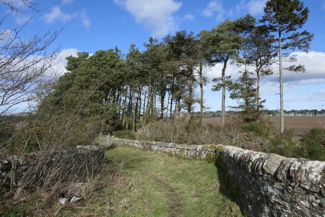
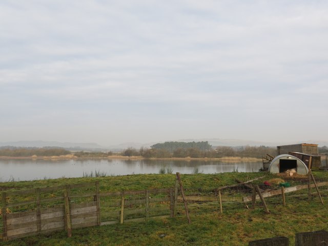
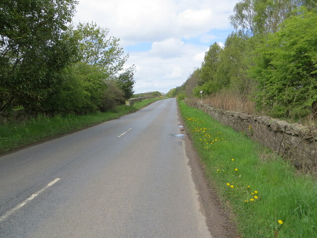
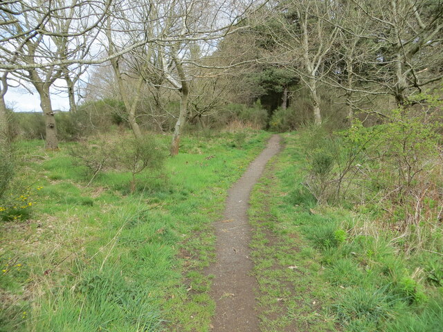
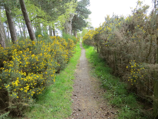
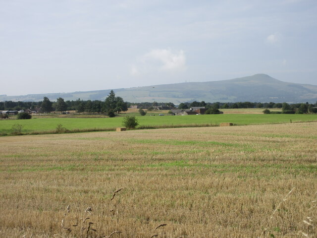
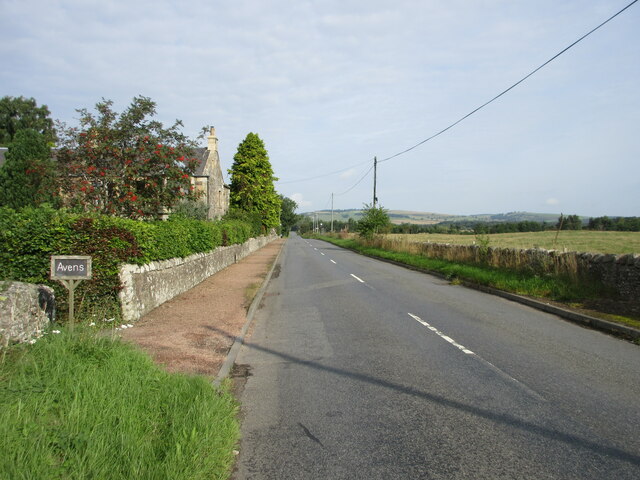
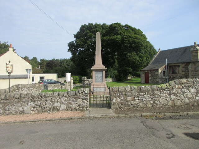
Edenstown Images

Images are sourced within 2km of 56.2773/-3.1440522 or Grid Reference NO2910. Thanks to Geograph Open Source API. All images are credited.

Council houses, Church Street, Ladybank
Play area, Beech Street, Ladybank
Trackside vegetation near Ladybank
Footpath to Edenstown Edenstown is not really a town. It's not even a village. But nice network of footpaths through the woodland.
Footpath to Edenstown
Edenstown is not really a town. It's not even a village. But nice network of footpaths through the woodland.
Bridge over Rossie Drain, near Easter Kilwhiss
Pig sty at Angle Park pond
Road (B937) approaching Kinloch and Fife Zoo Looking north-westward.
Road (B937) approaching Kinloch and Fife Zoo
Looking north-westward.
Woodland path at Cairnfield Muir Looking north-eastward.
Woodland path at Cairnfield Muir
Looking north-eastward.
Gorse and tree enclosed path at Cairnfield Muir Looking south-eastward.
Gorse and tree enclosed path at Cairnfield Muir
Looking south-eastward.
Fields near Stonybriggs Looking south-westwards to fields near Stonybriggs, with East Lomond in the distance to the right.
Fields near Stonybriggs
Looking south-westwards to fields near Stonybriggs, with East Lomond in the distance to the right.
B937 at Giffordtown The B937 heading northwards through Giffordtown.
B937 at Giffordtown
The B937 heading northwards through Giffordtown.
Giffordstown War Memorial The Giffordstown and District War Memorial at Charlottetown.
Giffordstown War Memorial
The Giffordstown and District War Memorial at Charlottetown.
Equestrian Centre, Giffordtown Huge indoor riding centre with an event in progress.
Equestrian Centre, Giffordtown
Huge indoor riding centre with an event in progress.
Flatland, Gifford Town Flat Howe of Fife farmland, just north of the Ladybank forests. Looking east.
Flatland, Gifford Town
Flat Howe of Fife farmland, just north of the Ladybank forests. Looking east.
Edenstown. Houses in the woods of Edensmuir, a Forestry Commission holding on gravel soils near Ladybank. Looking out, south towards the road from within the forest.
Edenstown.
Houses in the woods of Edensmuir, a Forestry Commission holding on gravel soils near Ladybank. Looking out, south towards the road from within the forest.
Cottages in Ladybank, Fife
Ladybank, Fife Ladybank developed in the late 19th century around a railway junction which is still in use today.
Ladybank, Fife
Ladybank developed in the late 19th century around a railway junction which is still in use today.
Potato field near Charlottetown Looking SW with the boundary between the forest and field on the left. East and West Lomond in the distance.
Potato field near Charlottetown
Looking SW with the boundary between the forest and field on the left. East and West Lomond in the distance.
Show me another place!

Edenstown is located at Grid Ref: NO2910 (Lat: 56.2773, Lng: -3.1440522)

Unitary Authority: Fife

Police Authority: Fife

What 3 Words

///busy.speaking.jugs. Near Ladybank, Fife

Related Wikis

Ladybank

Ladybank () is a village and former burgh of Fife, Scotland. It is about 62 kilometres (39 mi) north of Edinburgh, 8 kilometres (5.0 mi) southwest of Cupar...

Ladybank railway station

Ladybank railway station serves the town of Ladybank in Fife, Scotland. == History == The station was opened in 1847 by the Edinburgh and Northern Railway...

Howe of Fife

The Howe of Fife is the broad, low-lying valley of the River Eden, lying between the Ochil Hills and the Lomond Hills in Fife, Scotland. Howe, in Scots...

Kingskettle railway station

Kingskettle railway station served the village of Kingskettle, Fife, Scotland, from 1847 to 1967 on the Edinburgh and Northern Railway. == History == The...

Nearby Amenities

Located within 500m of 56.2773,-3.1440522
Edenstown
Place: hamlet
Lat/Long: 56.2776345/-3.144389
Leisure: picnic_table
Lat/Long: 56.2786432/-3.1485933
Bench
Lat/Long: 56.276682/-3.1492805
Parking
Parking: layby
Surface: asphalt
Lat/Long: 56.2807679/-3.1445578
Power: pole
Lat/Long: 56.2786125/-3.144076
Power: pole
Lat/Long: 56.2784495/-3.1442772
Power: pole
Lat/Long: 56.2781561/-3.1442517
Power: pole
Lat/Long: 56.2778271/-3.1442088
Power: pole
Lat/Long: 56.2774987/-3.1441712
Power: pole
Lat/Long: 56.2772039/-3.1441417
Power: pole
Lat/Long: 56.2806517/-3.1399468
Power: pole
Lat/Long: 56.2801886/-3.1409258
Power: pole
Lat/Long: 56.27973/-3.1418914
Power: pole
Lat/Long: 56.2792431/-3.1428838
Frequency: 50
Phases: 3
Power: pole
Transformer: distribution
Voltage Primary: 11000
Voltage Secondary: 400
Lat/Long: 56.2787778/-3.1438534
The data included in this document is from www.openstreetmap.org. The data is made available under ODbL.

Have you been to Edenstown?

Leave your review of Edenstown below (or comments, questions and feedback).