Ebbsfleet Valley
Settlement in Kent Dartford
England
Ebbsfleet Valley

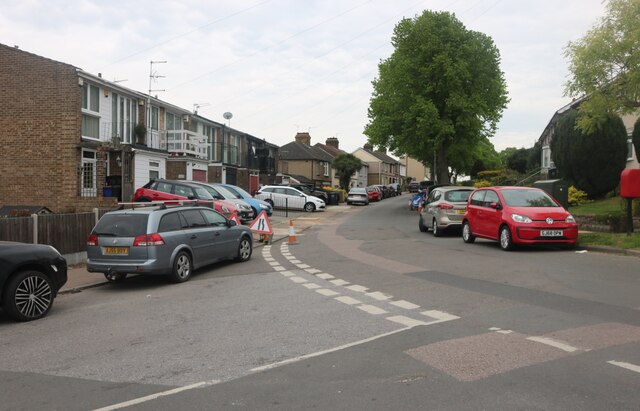
Ebbsfleet Valley is a recently developed area located in Kent, England. Situated just 17 miles east of Central London, this 900-acre site has undergone a significant transformation in recent years, evolving from a former quarry and brownfield land into a thriving residential and commercial hub.
The centerpiece of Ebbsfleet Valley is the Ebbsfleet International railway station, which serves as a major transport hub connecting Kent with London and Europe. The station offers high-speed train services to various destinations, including London St Pancras International, Paris, and Brussels. This accessibility has attracted a growing number of commuters who value the area's convenient transport links.
The development of Ebbsfleet Valley has focused on creating a sustainable and vibrant community. The area boasts a mix of modern housing, including apartments, townhouses, and detached houses, catering to a range of budgets and preferences. There are also plans for the construction of several schools, healthcare facilities, and recreational spaces, ensuring that residents have access to essential amenities.
In addition to residential properties, Ebbsfleet Valley is home to commercial and retail spaces. These include office buildings, retail parks, and leisure facilities, attracting businesses and providing employment opportunities for the local population.
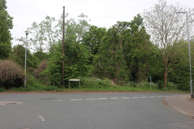
The area's natural environment has not been neglected either. Ebbsfleet Valley incorporates extensive green spaces, parks, and landscaped areas, creating a pleasant and eco-friendly environment for residents and visitors alike. Furthermore, the development plans include the creation of a country park and nature reserves, preserving and enhancing the biodiversity of the area.
Overall, Ebbsfleet Valley has successfully transformed from an industrial site into a dynamic and sustainable community, offering excellent connectivity, housing options, and amenities for both residents and businesses.
If you have any feedback on the listing, please let us know in the comments section below.
Ebbsfleet Valley Images
Images are sourced within 2km of 51.434666/0.30340657 or Grid Reference TQ6073. Thanks to Geograph Open Source API. All images are credited.


Ebbsfleet Valley is located at Grid Ref: TQ6073 (Lat: 51.434666, Lng: 0.30340657)
Administrative County: Kent
District: Dartford
Police Authority: Kent
What 3 Words
///poster.tubes.noise. Near Swanscombe, Kent
Nearby Locations
Related Wikis

Ebbsfleet Valley
Ebbsfleet Valley is a new town and redevelopment area in Kent, South East England, and part of the Thames Gateway, southwest of Gravesend. Development...
The Ebbsfleet Academy
The Ebbsfleet Academy (formerly Swan Valley Community School) is a coeducational secondary school with academy status, located in Swanscombe in the English...

Swanscombe Heritage Park
Swanscombe Skull Site or Swanscombe Heritage Park is a 3.9 hectares (9.6 acres) geological Site of Special Scientific Interest in Swanscombe in north-west...
Baker's Hole
Baker's Hole is a 6.9 hectares (17 acres) geological Site of Special Scientific Interest, mostly consisting of a back-filled quarry, adjacent to Ebbsfleet...

Bean, Kent
Bean is a village and civil parish in the Borough of Dartford, Kent, England. It is located 4.4 miles south east of Dartford and 5.4 miles south west of...
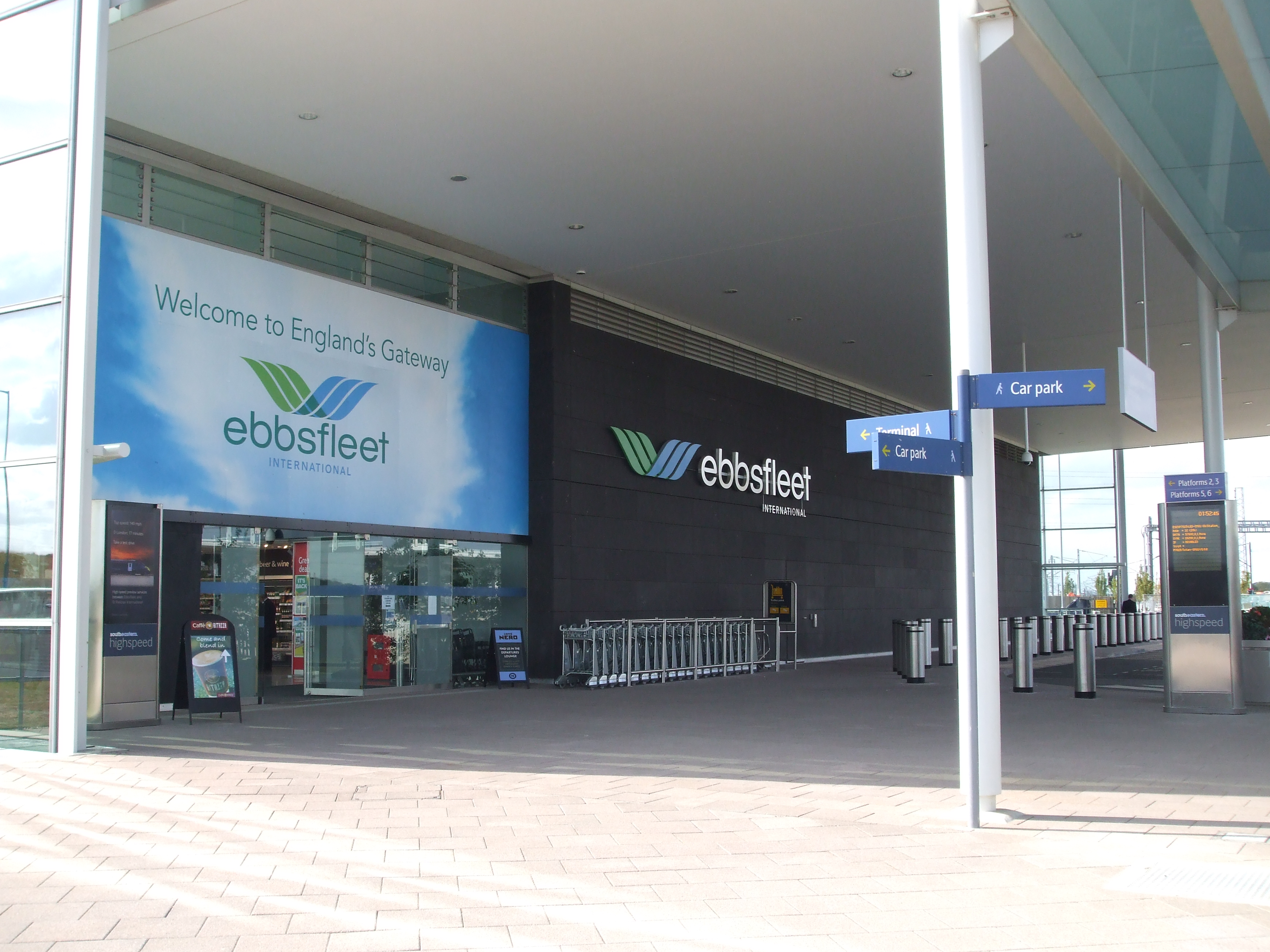
Ebbsfleet International railway station
Ebbsfleet International railway station (IATA: XQE) is in Ebbsfleet Valley, Kent, 10 miles (16 kilometres) east of London, England, near Dartford and the...
Beacon Wood Country Park
Beacon Wood Country Park is a public woodland in Bean near Dartford, in Kent, England. It was previously an industrial claypit then re-claimed as woodland...
Swanscombe
Swanscombe /ˈswɒnzkəm/ is a village in the Borough of Dartford in Kent, England, and the civil parish of Swanscombe and Greenhithe. It is 4.4 miles west...
Nearby Amenities
Located within 500m of 51.434666,0.30340657Have you been to Ebbsfleet Valley?
Leave your review of Ebbsfleet Valley below (or comments, questions and feedback).