Dyffryn Clydach

Settlement in Glamorgan

Wales

Dyffryn Clydach

Trig pillar on Mynydd Drumau The top of this mountain is flat, wide farmland and this trig point is in the middle of it. It's no good for surveying the Swansea and Neath valleys directly either side of it, but you get a good view of the neighbouring hills.
Trig pillar on Mynydd Drumau Credit: Nigel Davies

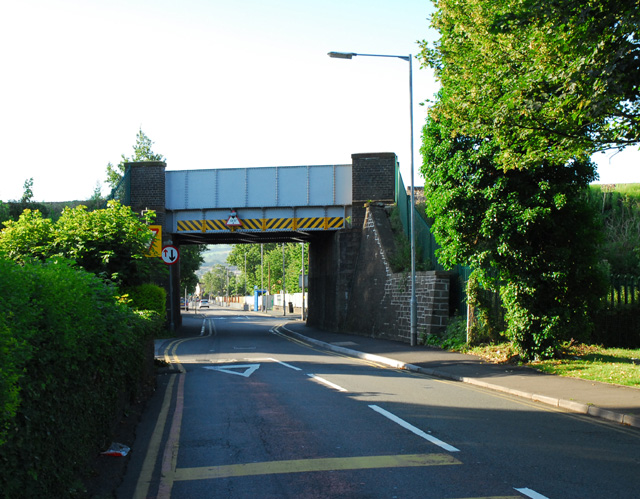
Dyffryn Clydach is a small village located in the county of Glamorgan, Wales. Situated near the River Clydach, the village is known for its picturesque countryside and historic charm. The area is surrounded by lush green fields and rolling hills, making it a popular destination for outdoor enthusiasts and nature lovers.

The village itself is home to a mix of traditional Welsh cottages and modern housing developments. There are a few local shops and amenities, including a post office and a small grocery store. Dyffryn Clydach also has a village hall which hosts community events and gatherings throughout the year.

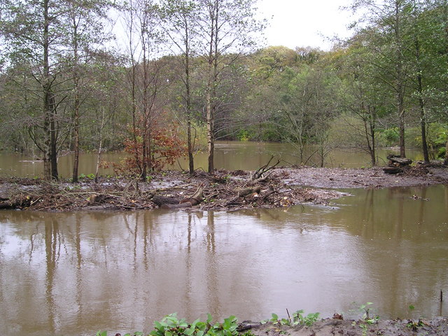
One of the main attractions in Dyffryn Clydach is the nearby Clydach Gorge, a stunning natural formation that offers breathtaking views and a variety of walking and hiking trails. The gorge is also home to a number of rare plant species and wildlife, making it a popular spot for nature enthusiasts.

Overall, Dyffryn Clydach is a charming village with plenty to offer visitors looking to explore the beauty of the Welsh countryside.

If you have any feedback on the listing, please let us know in the comments section below.

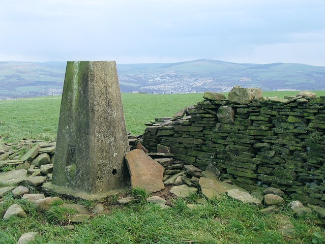
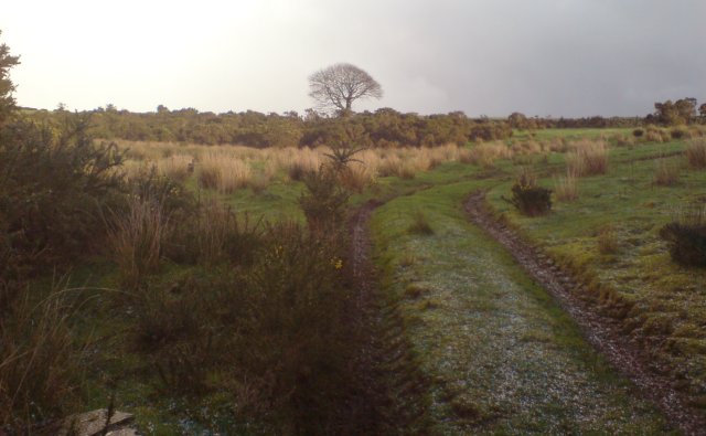
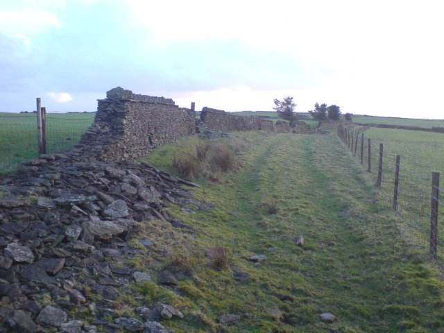
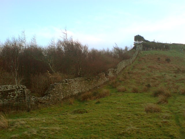
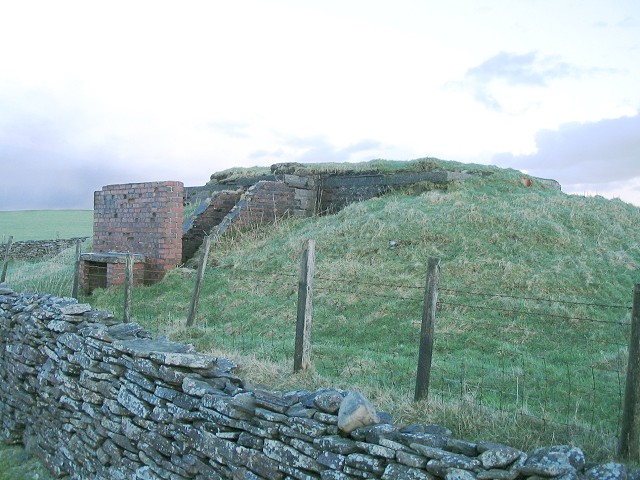
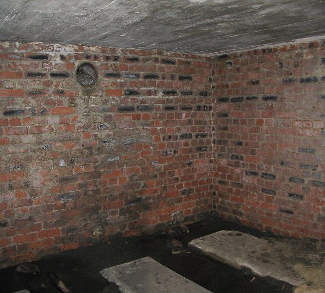
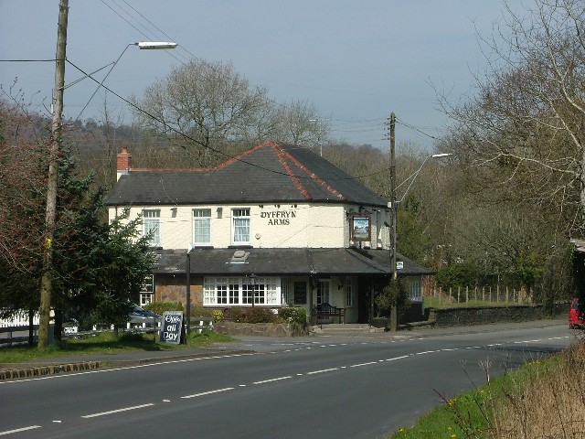
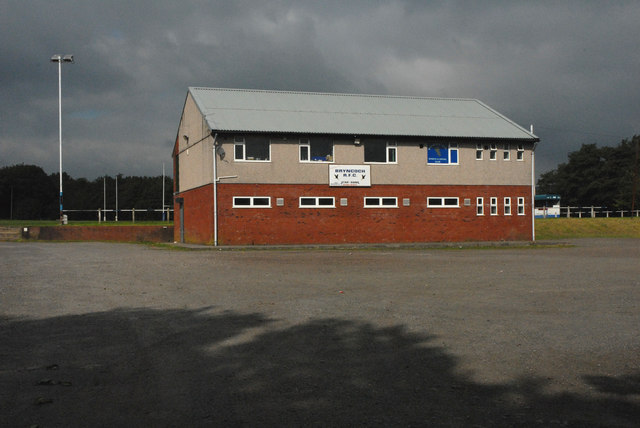
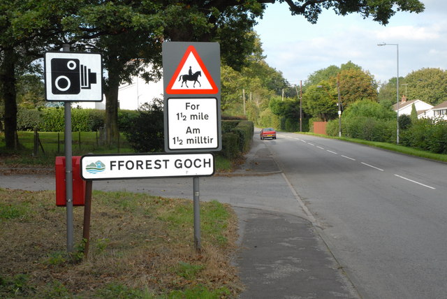
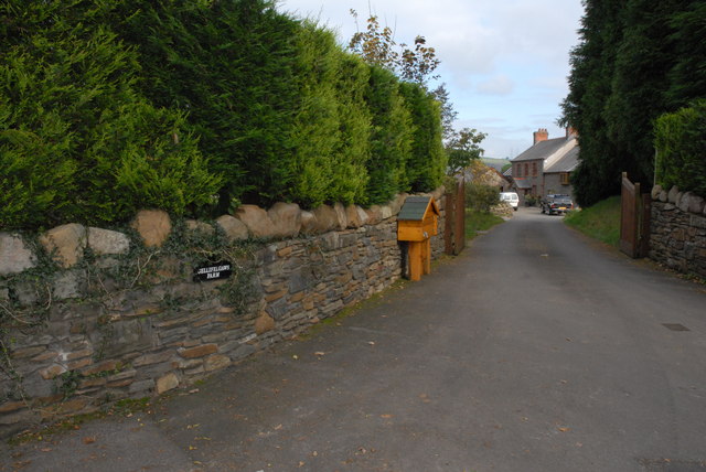
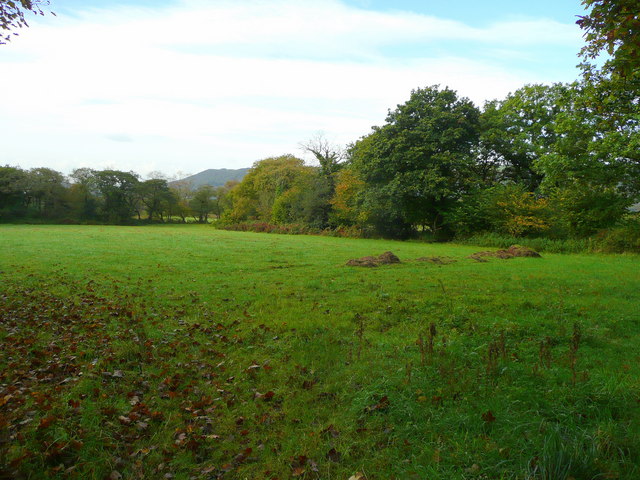
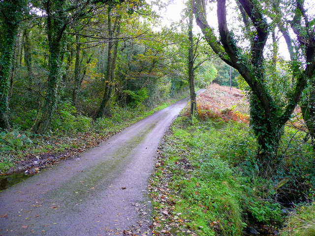
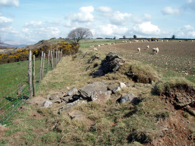
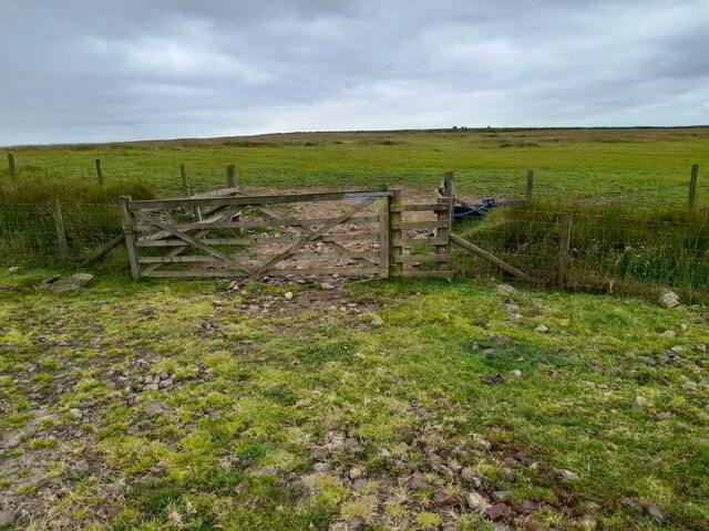
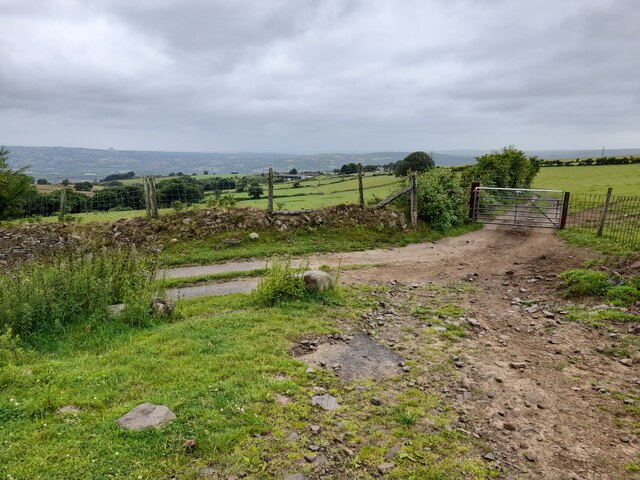
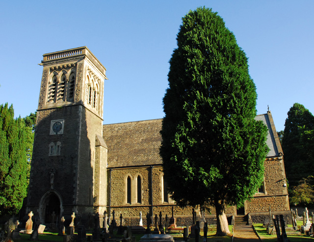
Dyffryn Clydach Images

Images are sourced within 2km of 51.682795/-3.8260715 or Grid Reference SS7399. Thanks to Geograph Open Source API. All images are credited.

Trig pillar on Mynydd Drumau The top of this mountain is flat, wide farmland and this trig point is in the middle of it. It's no good for surveying the Swansea and Neath valleys directly either side of it, but you get a good view of the neighbouring hills.
Trig pillar on Mynydd Drumau
The top of this mountain is flat, wide farmland and this trig point is in the middle of it. It's no good for surveying the Swansea and Neath valleys directly either side of it, but you get a good view of the neighbouring hills.
Farm track near the top of Mynydd Drumau A farm track towards the top of Mynydd Drumau. There are several interesting ancient and not so ancient features nearby.
Farm track near the top of Mynydd Drumau
A farm track towards the top of Mynydd Drumau. There are several interesting ancient and not so ancient features nearby.
Dry stone walls A dry stone wall forms part of the boundary for an old, now neglected thoroughfare.  Like the trackway, the stone walls are now also neglected and are slowly crumbling away.
Dry stone walls
A dry stone wall forms part of the boundary for an old, now neglected thoroughfare. Like the trackway, the stone walls are now also neglected and are slowly crumbling away.
Dry stone wall A dry stone wall on the north side of Mynydd Drumau
Dry stone wall
A dry stone wall on the north side of Mynydd Drumau
Bombing Decoy Control Bunker on Mynydd Drumau This bunker was part of a relatively secret programme of decoy sites designed to fool World War II German bombers into targeting unpopulated countryside instead of towns, factories and airfields. The bunker has two rooms, one of which would have housed a generator and the other of which was to observe (through a hatch in the roof) and control an area of lights and fires laid out to emulate a town or airfield when viewed at altitude in the dark.
It is situated in the corner of a field, right next to a wide track, now with no obvious access through the boundaries in between.

This site was missed in the original Defence of Britain survey but has been included in the Pillbox Study Group's "Extended Defence of Britain" database with ID e09843. The entry probably comes from a book called "Fields of Deception" by Colin Dobinson which is about these sites.

For an internal view see <a href="https://www.geograph.org.uk/photo/318643">SN7200 : Interior, south chamber, bunker on Mynydd Drumau</a>
For another site in this local group see <a href="https://www.geograph.org.uk/photo/3817140">SS7898 : Bombing Decoy Bunker above Tonna - Exterior</a>

Bunkers in this programme are sometimes known as QL, Starfish, SF or Special Fire.
For general info on these see:
<span class="nowrap"><a title="http://en.wikipedia.org/wiki/Starfish_site" rel="nofollow ugc noopener" href="http://en.wikipedia.org/wiki/Starfish_site">Link</a><img style="margin-left:2px;" alt="External link" title="External link - shift click to open in new window" src="https://s1.geograph.org.uk/img/external.png" width="10" height="10"/></span>
<span class="nowrap"><a title="https://web.archive.org/web/20131206185818/http://www.aviationmuseum.net/decoys.htm" rel="nofollow ugc noopener" href="https://web.archive.org/web/20131206185818/http://www.aviationmuseum.net/decoys.htm">Archive Link</a><img style="margin-left:2px;" alt="External link" title="External link - shift click to open in new window" src="https://s1.geograph.org.uk/img/external.png" width="10" height="10"/></span>
Bombing Decoy Control Bunker on Mynydd Drumau
This bunker was part of a relatively secret programme of decoy sites designed to fool World War II German bombers into targeting unpopulated countryside instead of towns, factories and airfields. The bunker has two rooms, one of which would have housed a generator and the other of which was to observe (through a hatch in the roof) and control an area of lights and fires laid out to emulate a town or airfield when viewed at altitude in the dark. It is situated in the corner of a field, right next to a wide track, now with no obvious access through the boundaries in between. This site was missed in the original Defence of Britain survey but has been included in the Pillbox Study Group's "Extended Defence of Britain" database with ID e09843. The entry probably comes from a book called "Fields of Deception" by Colin Dobinson which is about these sites. For an internal view see SN7200 : Interior, south chamber, bunker on Mynydd Drumau For another site in this local group see SS7898 : Bombing Decoy Bunker above Tonna - Exterior Bunkers in this programme are sometimes known as QL, Starfish, SF or Special Fire. For general info on these see: LinkExternal link Archive LinkExternal link
Interior, south chamber, bunker on Mynydd Drumau This would have been the generator room. It is completely dark, illuminated here only by the camera flash. Since this room has no opening in the roof there are less debris and dead animals here than in the entrance corridor or control room.

For an external view see <a href="https://www.geograph.org.uk/photo/318639">SN7200 : Bombing Decoy Control Bunker on Mynydd Drumau</a>
Interior, south chamber, bunker on Mynydd Drumau
This would have been the generator room. It is completely dark, illuminated here only by the camera flash. Since this room has no opening in the roof there are less debris and dead animals here than in the entrance corridor or control room. For an external view see SN7200 : Bombing Decoy Control Bunker on Mynydd Drumau
Dyffryn Arms Open all day.
Dyffryn Arms
Open all day.
Bryncoch R.F.C. Clubhouse and Grounds
A474 Neath Road approaching Fforest Goch
Gellifelgaws Farm
Gellifelgaws Farm
Pasture land by Gilfach Wood Looking south-west from Gilfach Road.
Pasture land by Gilfach Wood
Looking south-west from Gilfach Road.
Gilfach Road Looking south towards the Vale of Neath.
Gilfach Road
Looking south towards the Vale of Neath.
Old wall and field edge, Llwyn-erch-Idwal
Gateway East Of Cilbran Farm
Entrance to Cilbran Farm
St. Matthew's Church, Dyffryn
Railway Bridge over Dwr-y-Felin Road. The bridge carries the main South Wales to London railway between Skewen and Neath.
Railway Bridge over Dwr-y-Felin Road.
The bridge carries the main South Wales to London railway between Skewen and Neath.
Duffryn Pond, Neath Autumn after Heavy Rain
Duffryn Pond, Neath
Autumn after Heavy Rain
Show me another place!

Dyffryn Clydach is located at Grid Ref: SS7399 (Lat: 51.682795, Lng: -3.8260715)

Unitary Authority: Neath Port Talbot

Police Authority: South Wales

What 3 Words

///veal.rounds.rang. Near Neath, Neath Port Talbot

Nearby Locations

Dyffryn Clydach

Related Wikis

Bryncoch North

Bryncoch North is an electoral ward of Neath Port Talbot county borough, Wales forming part of the parish of Blaenhonddan. Bryncoch North covers some or...

Bryncoch

Bryncoch is a village near Neath in Neath Port Talbot County Borough, Wales. The name derives from the Welsh 'red hill' (bryn is hill, coch is red), originally...

Bryncoch South

Bryncoch South is an electoral ward of Neath Port Talbot county borough, Wales forming part of the parish of Blaenhonddan. The ward elects two county councillors...

Dyffryn Clydach

Dyffryn Clydach is a community of Neath Port Talbot county borough, Wales, between Neath and Swansea. == Description == Dyffryn Clydach includes the residential...

Nearby Amenities

Located within 500m of 51.682795,-3.8260715
Direction: SSE
Generator Method: photovoltaic
Generator Output Electricity: yes
Generator Solar Modules: 16
Generator Source: solar
Generator Type: solar_photovoltaic_panel
Location: roof
Power: generator
Lat/Long: 51.6833417/-3.8207075
Direction: WSW
Generator Method: photovoltaic
Generator Output Electricity: yes
Generator Solar Modules: 16
Generator Source: solar
Generator Type: solar_photovoltaic_panel
Location: roof
Power: generator
Lat/Long: 51.6838055/-3.8205831
The data included in this document is from www.openstreetmap.org. The data is made available under ODbL.

Have you been to Dyffryn Clydach?

Leave your review of Dyffryn Clydach below (or comments, questions and feedback).