Duackbridge

Settlement in Inverness-shire

Scotland

Duackbridge

Path in Abernethy Forest A path through mostly mature forest, but with some open areas like this.
Path in Abernethy Forest Credit: Gordon Hatton

The requested URL returned error: 429 Too Many Requests

If you have any feedback on the listing, please let us know in the comments section below.
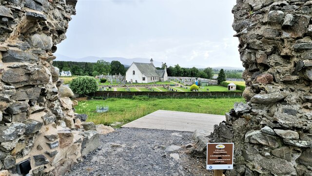
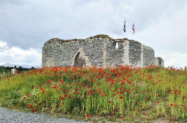
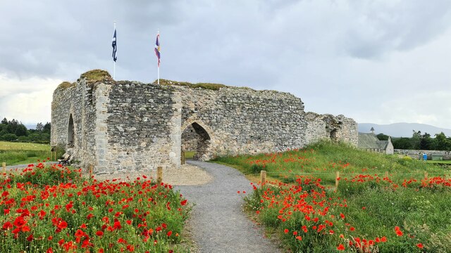
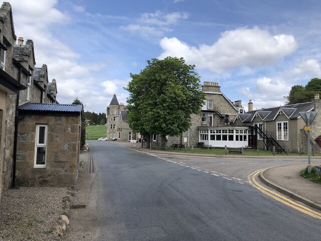
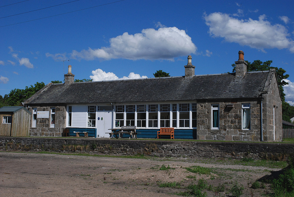
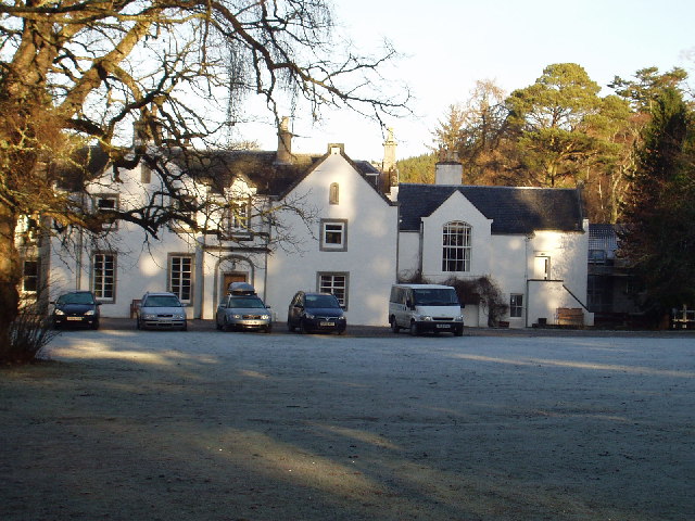
Duackbridge Images

Images are sourced within 2km of 57.263096/-3.6652075 or Grid Reference NH9920. Thanks to Geograph Open Source API. All images are credited.

Path in Abernethy Forest A path through mostly mature forest, but with some open areas like this.
Path in Abernethy Forest
A path through mostly mature forest, but with some open areas like this.
Nethy Bridge Hotel A rather grand late Victorian building, by far the largest in the village.
Nethy Bridge Hotel
A rather grand late Victorian building, by far the largest in the village.
The Old Kirk, Abernethy The Old Kirk dates from 1770, is now community owned and used mainly for exhibitions and events, although services such as weddings can still be held here.
The Old Kirk, Abernethy
The Old Kirk dates from 1770, is now community owned and used mainly for exhibitions and events, although services such as weddings can still be held here.
Castle Roy Simple four sided structure standing on a glacial mound close to Abernethy. One of the oldest stone built castles in Scotland and dated to the 12th century.
Castle Roy
Simple four sided structure standing on a glacial mound close to Abernethy. One of the oldest stone built castles in Scotland and dated to the 12th century.
Bridge over the Nethy Footbridge over the River Nethy on the edge of Nethy Bridge village.
Bridge over the Nethy
Footbridge over the River Nethy on the edge of Nethy Bridge village.
River Nethy A view upstream from the riverside path. The river starts life close to the Saddle at 800m+ between Cairngorm and A Choinneach and eventually joins the Spey.
River Nethy
A view upstream from the riverside path. The river starts life close to the Saddle at 800m+ between Cairngorm and A Choinneach and eventually joins the Spey.
Nethybridge Hotel From the gardens
Nethybridge Hotel
From the gardens
Abernethy Baptist Church from Castle Roy
Castle Roy
Castle Roy
Castle Roy
Castle Roy
Dell Road, Nethy Bridge
Nethy Bridge View towards the hotel.
Nethy Bridge
View towards the hotel.
Drinking fountain <span class="nowrap"><a title="https://nethybridge.com/history/drinking-fountain/" rel="nofollow ugc noopener" href="https://nethybridge.com/history/drinking-fountain/">Link</a><img style="margin-left:2px;" alt="External link" title="External link - shift click to open in new window" src="https://s1.geograph.org.uk/img/external.png" width="10" height="10"/></span>

The Drinking Fountain was gifted to ‘people of Abernethy’ by Lady Stamford and Warrington (see Forest Lodge) when giving up the lease of the forest in the late 1880s / early 1900s.

It was originally sited by the Drill Hall (approximately where the current bus shelter is) but was relocated following damage from a truck. In the past, it possessed metal cups, attached by a chain, but these suffered from vandalism.
Drinking fountain
LinkExternal link The Drinking Fountain was gifted to ‘people of Abernethy’ by Lady Stamford and Warrington (see Forest Lodge) when giving up the lease of the forest in the late 1880s / early 1900s. It was originally sited by the Drill Hall (approximately where the current bus shelter is) but was relocated following damage from a truck. In the past, it possessed metal cups, attached by a chain, but these suffered from vandalism.
Abernethy footpath network, the King's Road path Nethy Bridge gives access to many routes through the Abernethy woodland. Many of the routes can be interconnected to give a variety of trails of different lengths.
Abernethy footpath network, the King's Road path
Nethy Bridge gives access to many routes through the Abernethy woodland. Many of the routes can be interconnected to give a variety of trails of different lengths.
Minor road to Lettoch
Path, Abernethy Forest A newly resurfaced path just outside Nethy Bridge.
Path, Abernethy Forest
A newly resurfaced path just outside Nethy Bridge.
Bird feeders, Abernethy Forest A little way into the forest from Nethy Bridge.
Bird feeders, Abernethy Forest
A little way into the forest from Nethy Bridge.
Path, Abernethy Forest
Show me another place!

Duackbridge is located at Grid Ref: NH9920 (Lat: 57.263096, Lng: -3.6652075)

Unitary Authority: Highland

Police Authority: Highlands and Islands

What 3 Words

///intruded.staple.tell. Near Grantown-on-Spey, Highland

Nearby Locations

Duackbridge

Related Wikis

Nethy Bridge railway station

Nethy Bridge railway station served the village of Nethy Bridge, Highland, Scotland from 1863 to 1965 on the Strathspey Railway. == History == The station...

Abernethy and Kincardine

Abernethy and Kincardine is a civil parish, and former registration district and ecclesiastical parish, in the Highland council area of Scotland. The name...

Nethy Bridge

Nethy Bridge (Scottish Gaelic: Cinn Drochaid or Drochaid Neithich) is a small village in Strathspey in the Highland council area of Scotland. The village...

Broomhill Bridge

The Broomhill Bridge is a wooden bridge over the River Spey. == History == It was built by engineer John Mackenzie and contractor Charles Mackay, to replace...

Nearby Amenities

Located within 500m of 57.263096,-3.6652075
Crossing
Crossing: unmarked
Lat/Long: 57.2592354/-3.6661543
Bus Stop
Playing Fields
Local Ref: AT
Naptan AtcoCode: 6700713018
Naptan Bearing: SW
Naptan CommonName: Playing Fields
Naptan Indicator: at
Naptan Landmark: Playing Fields
Naptan NaptanCode: 45324765
Naptan Street: B970
Naptan Verified: no
Source: naptan_import
Lat/Long: 57.2645617/-3.6586411
Bus Stop
Post Office
Naptan AtcoCode: 6700713018A
Naptan Bearing: NE
Naptan CommonName: Post Office
Naptan Indicator: opp
Naptan Landmark: Bus Shelter
Naptan NaptanCode: 45329494
Naptan Street: B970
Naptan Verified: no
Source: naptan_import
Lat/Long: 57.2649865/-3.6579774
Toilets
Access: yes
Fee: no
Wheelchair: yes
Lat/Long: 57.2642225/-3.657201
Community Centre
Nethybridge Community Centre
Lat/Long: 57.2643392/-3.6572487
Post Box
Collection Times: Mo-Fr 16:00; Sa 12:30
Post Box Type: lamp
Ref: PH25 21
Royal Cypher: scottish_crown
Lat/Long: 57.2647475/-3.6577919
Recycling
Lat/Long: 57.2640513/-3.6574915
Post Office
Nethybridge Post Office
Lat/Long: 57.2645737/-3.6578298
Power: pole
Lat/Long: 57.2672602/-3.6680911
Power: pole
Lat/Long: 57.2667655/-3.6665418
Power: pole
Lat/Long: 57.2662708/-3.666059
Nethy Bridge
Historic Railway: station
Railway: site
Wikidata: Q42377423
Wikipedia: en:Nethy Bridge railway station
Lat/Long: 57.2658691/-3.6587213
The data included in this document is from www.openstreetmap.org. The data is made available under ODbL.

Have you been to Duackbridge?

Leave your review of Duackbridge below (or comments, questions and feedback).