Drumillan Hill
Settlement in Renfrewshire
Scotland
Drumillan Hill
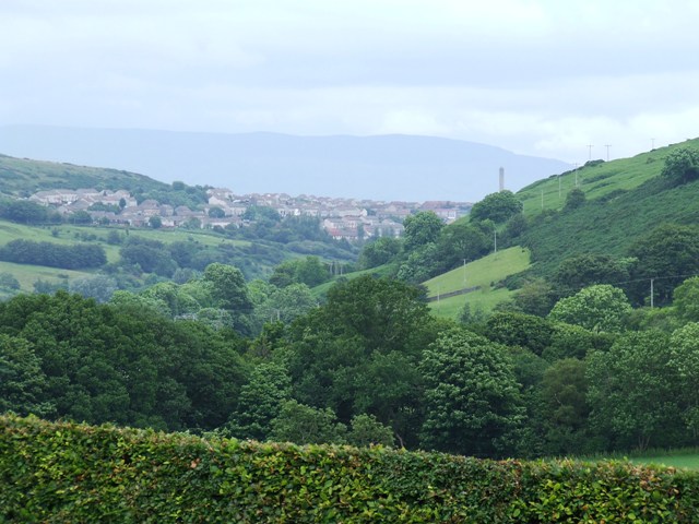
Drumillan Hill is a prominent landmark located in Renfrewshire, a historic county in the west-central Lowlands of Scotland. Situated approximately 2 miles southwest of the town of Paisley, this hill is a notable geographical feature that offers stunning views of the surrounding countryside.
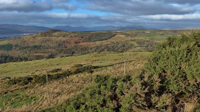
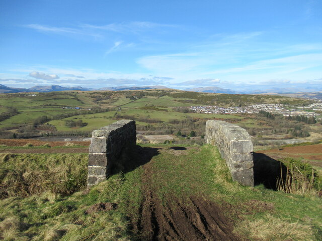
With an elevation of approximately 144 meters (472 feet), Drumillan Hill stands tall amidst the rolling landscapes of Renfrewshire. Covered in lush green vegetation, it is an ideal destination for nature enthusiasts and hikers who seek tranquility and picturesque scenery.
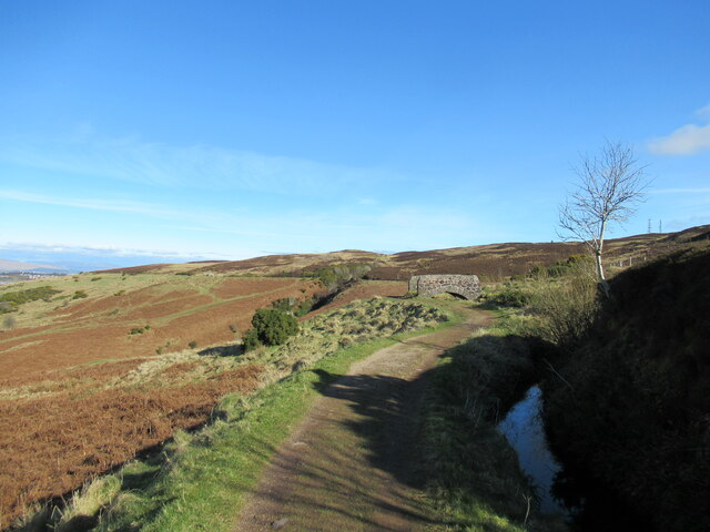
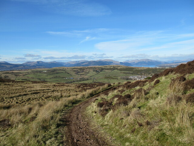
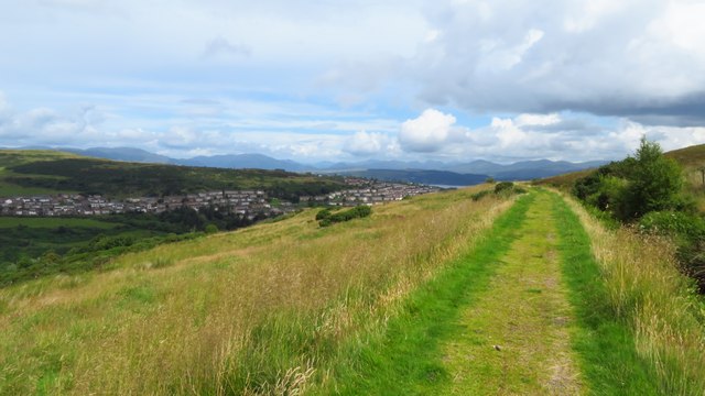
The hill is easily accessible, with several well-maintained paths leading to its summit. As visitors make their way up, they are greeted by a rich variety of flora and fauna, including heather, wildflowers, and various species of birds. This makes Drumillan Hill a popular spot for birdwatching and nature photography.
At the top of the hill, visitors are rewarded with breathtaking panoramic views of Renfrewshire and beyond. On clear days, one can see as far as the Clyde Estuary and even catch glimpses of the distant mountains.
Drumillan Hill also holds historical significance, as it is believed to have been an ancient burial ground dating back to prehistoric times. Although no visible remains can be seen today, its archaeological value adds an additional layer of interest to this natural wonder.
Overall, Drumillan Hill offers a peaceful escape from the hustle and bustle of urban life, providing visitors with a chance to connect with nature and appreciate the beauty of Renfrewshire's countryside.
If you have any feedback on the listing, please let us know in the comments section below.
Drumillan Hill Images
Images are sourced within 2km of 55.935183/-4.829884 or Grid Reference NS2374. Thanks to Geograph Open Source API. All images are credited.


Drumillan Hill is located at Grid Ref: NS2374 (Lat: 55.935183, Lng: -4.829884)
Unitary Authority: Inverclyde
Police Authority: Renfrewshire and Inverclyde
What 3 Words
///return.vowed.trump. Near Gourock, Inverclyde
Nearby Locations
Related Wikis
Spango Valley
Spango Valley is a steep sided valley to the south-west of Greenock, Scotland. It runs approximately south west to north east for around 2.4 km (1.5 mi...

IBM railway station
IBM railway station (formerly known as IBM Halt) is a currently disused railway station on the Inverclyde Line, 25+1⁄2 miles (41 km) west of Glasgow Central...

Braeside, Greenock
Braeside is a neighbourhood situated on the far west side of Greenock, in Inverclyde, Scotland. It has one primary schools in its vicinity, Aileymill,...
Larkfield, Greenock
Larkfield is the largest council housing estate in Greenock, Inverclyde, Scotland. == Geography == The estate is named after Larkfield Farm, Larkfield...

Ravenscraig railway station
Ravenscraig railway station was a railway station located south west of the town of Greenock, Inverclyde, Scotland, originally as part of the Greenock...

Ravenscraig Stadium
Ravenscraig Stadium is a multi-purpose stadium, in Greenock, Inverclyde, Scotland. The stadium is primarily set up for athletics, with a running track...

Inverclyde Academy
Inverclyde Academy is a secondary school in Greenock, Scotland that provides education to the majority of the Inverclyde area. The catchment area for the...

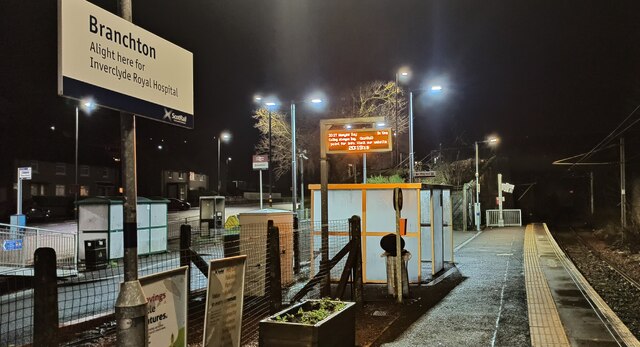
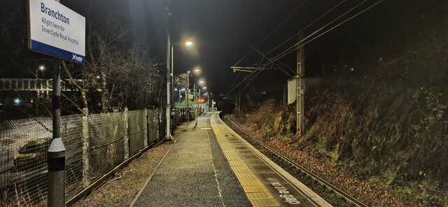
Branchton
Branchton (Scots: Branchtoun, Scottish Gaelic: Brainsdean) is an area within the Scottish town of Greenock, in Inverclyde. Tenements used to dominate the...
Nearby Amenities
Located within 500m of 55.935183,-4.829884Have you been to Drumillan Hill?
Leave your review of Drumillan Hill below (or comments, questions and feedback).