Ditchingham Dam
Settlement in Norfolk South Norfolk
England
Ditchingham Dam
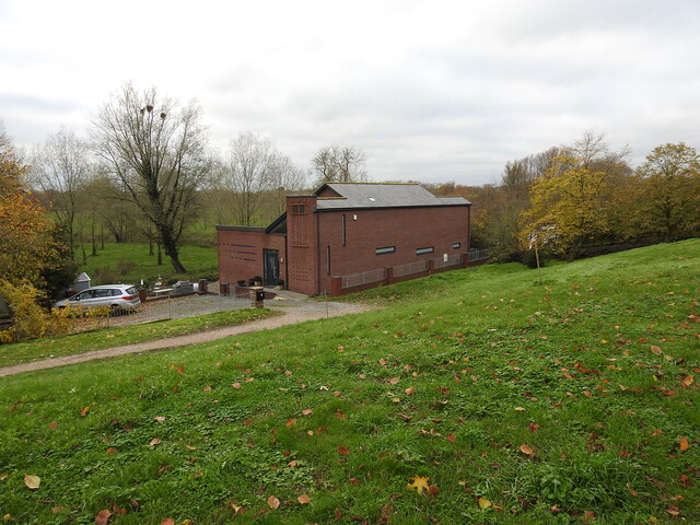
Ditchingham Dam is a man-made structure located in the village of Ditchingham in Norfolk, England. Built in the early 19th century, it was constructed to control the flow of water along the River Waveney. The dam has since become an important landmark and a significant part of the local landscape.
The dam is made of a combination of brick and stone, ensuring its durability and stability over the years. Its primary purpose is to regulate water levels, preventing flooding and ensuring a constant supply of water for irrigation and other purposes. It consists of a series of gates and sluices that can be adjusted to control the flow of water, allowing for the management of water levels in times of heavy rainfall or drought.
Ditchingham Dam not only serves a practical function but also offers scenic views for visitors. Its location along the River Waveney provides a picturesque backdrop, with lush greenery and wildlife surrounding the area. The dam has become a popular spot for locals and tourists alike, who often visit to enjoy the peaceful ambiance and take in the natural beauty of the surroundings.
In addition to its aesthetic appeal, the dam also plays a crucial role in supporting the local ecosystem. It provides a habitat for various species of fish and other aquatic creatures, contributing to the biodiversity of the area.
Overall, Ditchingham Dam is a vital infrastructure in Norfolk, serving both practical and environmental purposes while also offering a tranquil spot for visitors to enjoy the natural beauty of the region.
If you have any feedback on the listing, please let us know in the comments section below.
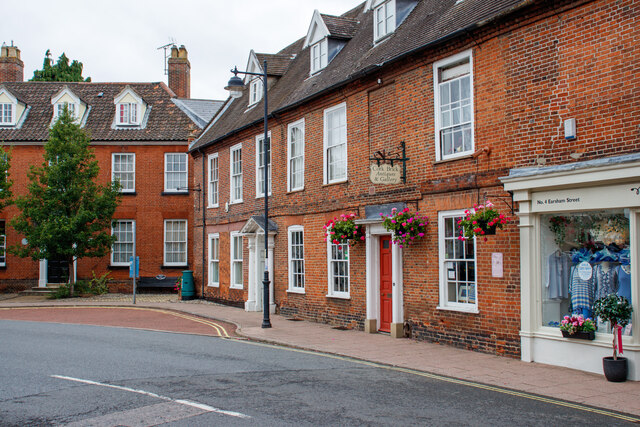
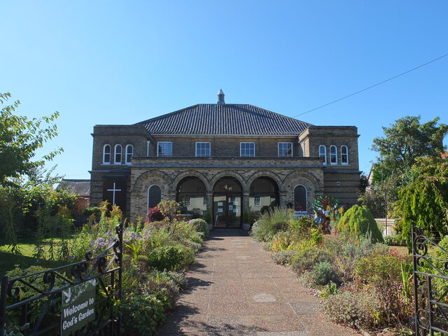
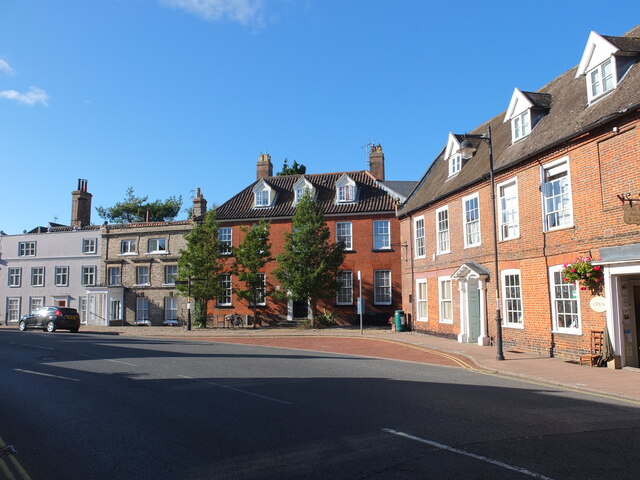
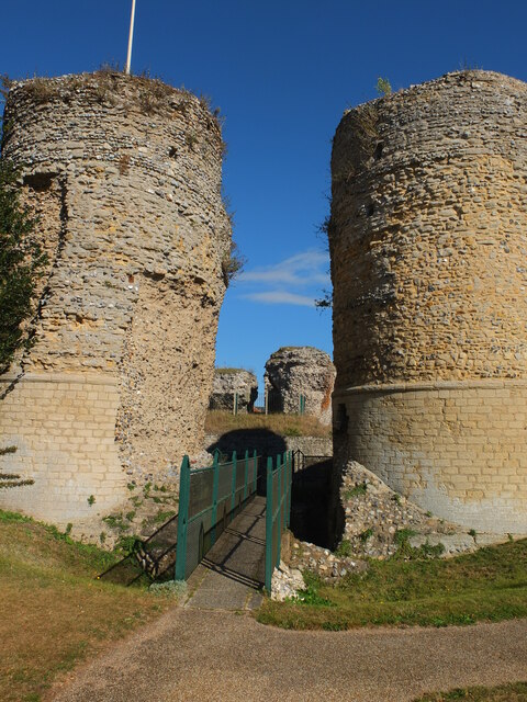
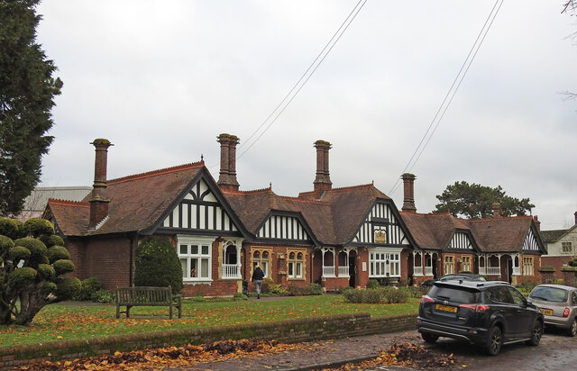
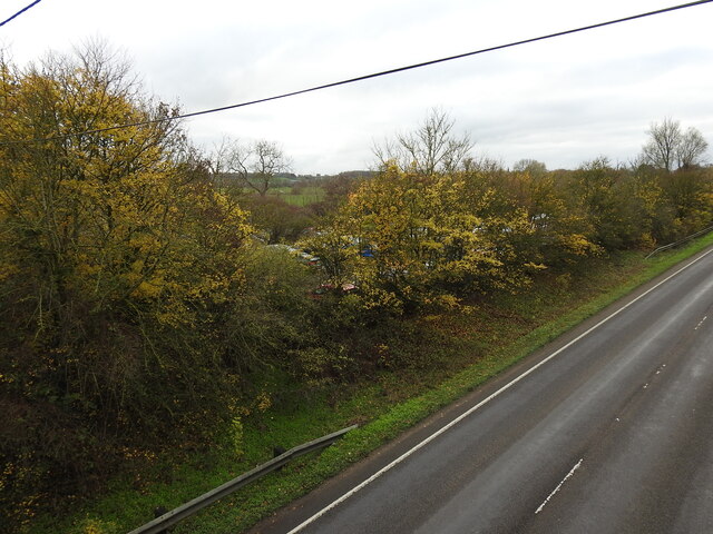
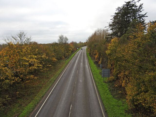
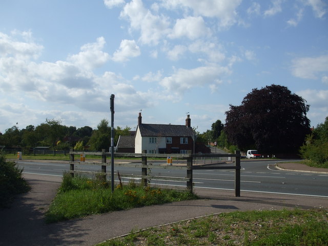
Ditchingham Dam Images
Images are sourced within 2km of 52.457876/1.4399159 or Grid Reference TM3390. Thanks to Geograph Open Source API. All images are credited.
Ditchingham Dam is located at Grid Ref: TM3390 (Lat: 52.457876, Lng: 1.4399159)
Administrative County: Norfolk
District: South Norfolk
Police Authority: Norfolk
What 3 Words
///eradicate.folk.bond. Near Bungay, Suffolk
Nearby Locations
Related Wikis

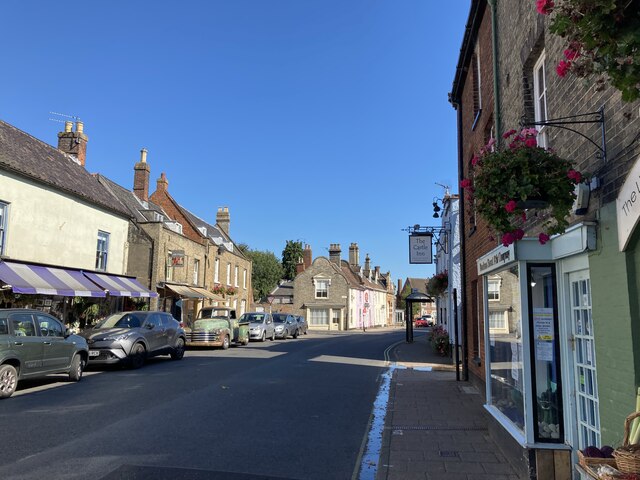
Bungay
Bungay () is a market town, civil parish and electoral ward in the English county of Suffolk. It lies in the Waveney Valley, 5.5 miles (9 km) west of Beccles...

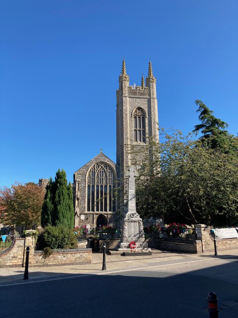
St Mary's Church, Bungay
St Mary's Church is a redundant Anglican church in the town of Bungay, Suffolk, England. The church and the ruins of the adjacent priory are recorded...

Bungay Priory
Bungay Priory was a Benedictine nunnery in the town of Bungay in the English county of Suffolk. It was founded c. 1160-1185 by the Countess Gundreda, wife...

Bungay Castle
Bungay Castle is a Grade I listed building in the town of Bungay, Suffolk. == History == The site was originally a Norman castle built by Roger Bigod in...

Bungay Town F.C.
Bungay Town Football Club is an English football club based in Bungay, Suffolk. The club are currently members of Anglian Combination Division One and...

Chicken roundabout
The chicken roundabout is a roundabout located on the A143 road, on the Bungay and Ditchingham bypass in Suffolk, United Kingdom. The roundabout was famous...

Bungay railway station
Bungay railway station was located on the now disused Waveney Valley Line which ran between Tivetshall and Beccles. The station was closed in 1953 and...
Ditchingham railway station
Ditchingham was a railway station in Ditchingham, Norfolk on the Waveney Valley Line. Opened on 2 March 1863, it closed to passengers along with the rest...
Nearby Amenities
Located within 500m of 52.457876,1.4399159Have you been to Ditchingham Dam?
Leave your review of Ditchingham Dam below (or comments, questions and feedback).