Dicklant

Settlement in Derbyshire North East Derbyshire

England

Dicklant

Ashover, All Saints
Ashover, All Saints Credit: Dave Kelly

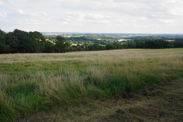
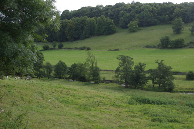
Dicklant is a small village located in the county of Derbyshire, England. Situated in the picturesque Peak District National Park, it is surrounded by rolling hills and stunning natural landscapes. The village is nestled in a valley, with the River Trent flowing nearby, providing a peaceful and tranquil atmosphere.

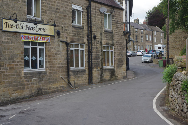
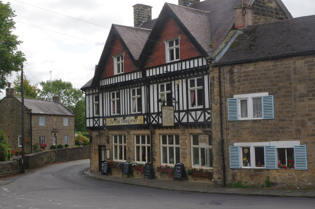
With a population of around 500 residents, Dicklant has a close-knit community that takes pride in its local heritage. The village dates back to the 12th century and still retains much of its historical charm. Traditional stone cottages and buildings can be found throughout the area, giving it a quaint and timeless feel.

Despite its small size, Dicklant offers a range of amenities to cater to the needs of its residents. There is a local village shop providing essential groceries and supplies, as well as a post office for postal services. The village also has a primary school, ensuring that families in the area have access to quality education.

For outdoor enthusiasts, Dicklant is a paradise. The surrounding countryside offers numerous walking and hiking trails, allowing visitors to explore the stunning beauty of the Peak District. The nearby river is popular for fishing and boating activities, attracting both locals and tourists alike.

Overall, Dicklant is a charming village that offers a peaceful and idyllic lifestyle. Its natural beauty, sense of community, and historical significance make it a desirable place to live or visit for those seeking a slower pace of life in the heart of the English countryside.

If you have any feedback on the listing, please let us know in the comments section below.
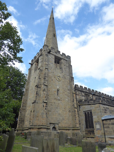
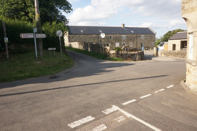
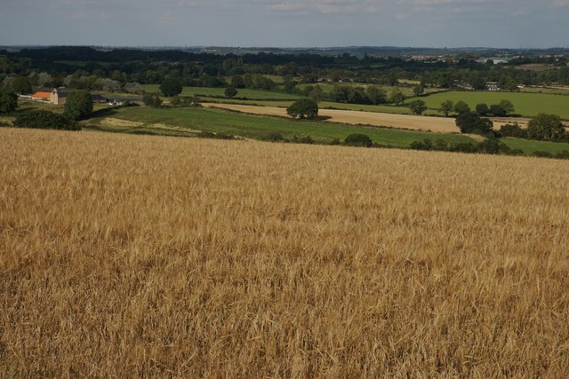
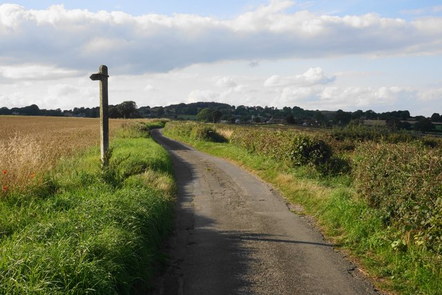
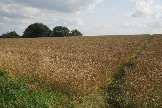
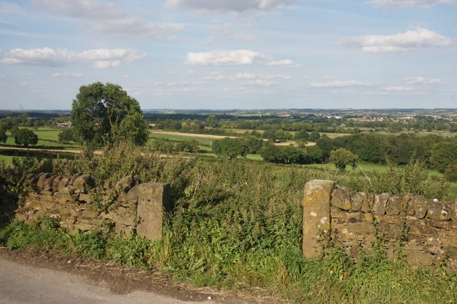
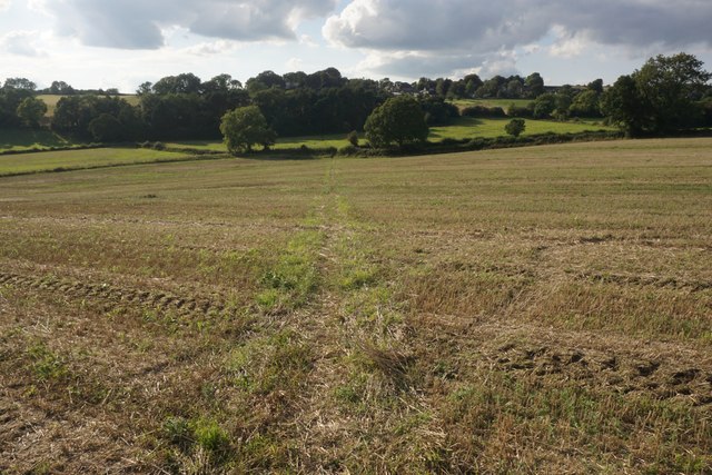
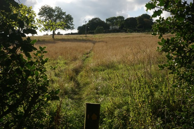
Dicklant Images

Images are sourced within 2km of 53.152339/-1.4646375 or Grid Reference SK3561. Thanks to Geograph Open Source API. All images are credited.

Ashover, All Saints
Ashover, All Saints
Crossroads at Handley Handley is a very small hamlet on a ridge between Clay Cross and Ashover.
Crossroads at Handley
Handley is a very small hamlet on a ridge between Clay Cross and Ashover.
Barley field by Woodhead Lane Woodhead Lane runs along a ridge with extensive views to the east around Clay Cross and the upper catchment area of the River Rother. Stretton Hall Farm is seen to the left.
Barley field by Woodhead Lane
Woodhead Lane runs along a ridge with extensive views to the east around Clay Cross and the upper catchment area of the River Rother. Stretton Hall Farm is seen to the left.
Woodhead Lane The lane climbs along a ridge which leads up to Farhill. There are quite extensive views to the right from here.
Woodhead Lane
The lane climbs along a ridge which leads up to Farhill. There are quite extensive views to the right from here.
Footpath to Ridgewell Farm Crossing the top of the ridge. This path disappears when the field is ploughed, and when it reappears  it does not always follow exactly the same route through the field.
Footpath to Ridgewell Farm
Crossing the top of the ridge. This path disappears when the field is ploughed, and when it reappears it does not always follow exactly the same route through the field.
Poppy in a wheat field Several poppies were growing along the edge of the wheat field and were visible from Woodhead Lane.
Poppy in a wheat field
Several poppies were growing along the edge of the wheat field and were visible from Woodhead Lane.
Redundant field entrance opposite Woodhead Farm The field appears to have lain fallow for some time. There is a view beyond to the catchment area of the River Rother.
Redundant field entrance opposite Woodhead Farm
The field appears to have lain fallow for some time. There is a view beyond to the catchment area of the River Rother.
Footpath to Littlemoor There is a small depression between two ridges.
Footpath to Littlemoor
There is a small depression between two ridges.
Footpath to Littlemoor A gentle stroll to the top of the ridge.
Footpath to Littlemoor
A gentle stroll to the top of the ridge.
Field below Littlemoor Offering a view down to Ogston Reservoir.
Field below Littlemoor
Offering a view down to Ogston Reservoir.
Former Primitive Methodist Chapel in Littlemoor Dating from 1858, it has now been converted to holiday let accommodation.
Former Primitive Methodist Chapel in Littlemoor
Dating from 1858, it has now been converted to holiday let accommodation.
The Amber valley As seen from Eastwood Lane on its descent from Littlemoor.
The Amber valley
As seen from Eastwood Lane on its descent from Littlemoor.
Cosmos and sunflowers at Eastwood House Farm The sunflowers are part of a visitor attraction.
Cosmos and sunflowers at Eastwood House Farm
The sunflowers are part of a visitor attraction.
Village cricket at Ashover You get a good view from a passing footpath.
Village cricket at Ashover
You get a good view from a passing footpath.
Altercation between swallows The one on the wire responded noisily. A few others were using the same telegraph wire.
Altercation between swallows
The one on the wire responded noisily. A few others were using the same telegraph wire.
The Old Poets Corner, Ashover This pub, which has its own brewery attached, proudly proclaims its award as CAMRA's Derbyshire pub of the year for 2015.
The Old Poets Corner, Ashover
This pub, which has its own brewery attached, proudly proclaims its award as CAMRA's Derbyshire pub of the year for 2015.
River Amber, Ashover The Amber rises in the hills to the north west of Ashover and flows 13 miles across Derbyshire to its confluence with the Derwent. It is seen here in its early stages near Ashover village.
River Amber, Ashover
The Amber rises in the hills to the north west of Ashover and flows 13 miles across Derbyshire to its confluence with the Derwent. It is seen here in its early stages near Ashover village.
The Old Poets Corner, Ashover This imposing pub in Ashover village is famed for the quality of its beer and has been named CAMRA's Derbyshire pub of the year for 2015. There is a brewery on the premises.
The Old Poets Corner, Ashover
This imposing pub in Ashover village is famed for the quality of its beer and has been named CAMRA's Derbyshire pub of the year for 2015. There is a brewery on the premises.
Show me another place!

Dicklant is located at Grid Ref: SK3561 (Lat: 53.152339, Lng: -1.4646375)

Administrative County: Derbyshire

District: North East Derbyshire

Police Authority: Derbyshire

What 3 Words

///confined.encoding.wiping. Near Tansley, Derbyshire

Nearby Locations

Milltown Dicklant

Related Wikis

Dale Bank railway station

Dale Bank railway station served the hamlet of Dalebank, Derbyshire, England, from 1925 to 1936 on the Ashover Light Railway. == History == The station...

Milltown railway station (Derbyshire)

Milltown railway station served the village of Milltown, Derbyshire, England, from 1925 to 1936 on the Ashover Light Railway. == History == The station...

Fallgate railway station

Fallgate railway station co-served the village of Milltown, Derbyshire, England, from 1925 to 1936 on the Ashover Light Railway. == History == The station...

Milltown, Derbyshire

Milltown is a village in Derbyshire, England. It is located 1 mile south east of Ashover and is part of Ashover civil parish. To the north of the village...

Nearby Amenities

Located within 500m of 53.152339,-1.4646375
Milltown
Is In: Derbyshire, England, UK
Place: village
Wikidata: Q6860068
Lat/Long: 53.1510538/-1.4714826
Pub
Miners Arms
Food: yes
Note Opening Hours: May open less in winter
Opening Hours: We-Su 12:00-15:00; Th-Sa 19:00-23:00
Parking: yes
Real Ale: Usually 1 beer: varies
Source Opening Hours: Sign on door
Wikidata: Q26513121
Lat/Long: 53.1515424/-1.4709852
Bench
Lat/Long: 53.1552929/-1.466792
Barrier: stile
Material: stone
Stile: squeezer
Lat/Long: 53.1481467/-1.4639364
Barrier: stile
Lat/Long: 53.1480658/-1.4652886
Barrier: stile
Lat/Long: 53.1504206/-1.4683921
Barrier: stile
Stile: squeezer
Lat/Long: 53.1492114/-1.4677663
Bus Stop
Bus: yes
Ele: 149.8500977
Naptan AtcoCode: 1000DMBL3009
Naptan NaptanCode: dbsdtmga
Public Transport: platform
Lat/Long: 53.1551145/-1.4662938
Ele: 130.3835449
Lat/Long: 53.1547032/-1.4700878
Ele: 132
Lat/Long: 53.1537784/-1.471023
Ele: 146
Lat/Long: 53.1554176/-1.4695783
Ele: 130.6239014
Lat/Long: 53.1548465/-1.4699925
Ele: 130.6239014
Lat/Long: 53.1548366/-1.4699999
Post Box
Collection Times: Mo-Fr 16:00; Sa 10:30
Post Box Type: lamp
Ref: S45 24
Royal Cypher: EIIR
Royal Cypher Wikidata: Q33102113
Lat/Long: 53.155315/-1.4667501
Barrier: stile
Material: stone
Source: survey;gps
Stile: stepover
Lat/Long: 53.154518/-1.4703915
Barrier: stile
Material: stone
Source: survey;gps
Stile: squeezer
Lat/Long: 53.1546943/-1.4700935
Source: bing
Lat/Long: 53.1549257/-1.4608169
The data included in this document is from www.openstreetmap.org. The data is made available under ODbL.

Have you been to Dicklant?

Leave your review of Dicklant below (or comments, questions and feedback).