Dennis Green
Settlement in Cambridgeshire South Cambridgeshire
England
Dennis Green
Dennis Green is a small village located in the county of Cambridgeshire, England. Situated approximately 6 miles southeast of the city of Cambridge, it falls within the administrative district of South Cambridgeshire. The village is nestled in a picturesque rural setting, surrounded by farmland and countryside.
Dennis Green is characterized by its quaint and peaceful atmosphere, making it an ideal place for those seeking a quiet and idyllic lifestyle. The village is home to a close-knit community, with a population of around 400 residents. The local amenities include a village hall, which serves as a hub for various community activities and events.
Despite its small size, Dennis Green offers good transport links, making it accessible to surrounding areas. The nearby A1307 road provides convenient access to Cambridge, which is known for its world-renowned university and vibrant cultural scene. The city offers a wide range of amenities, including shopping centers, restaurants, and entertainment venues.
The surrounding countryside offers plenty of opportunities for outdoor activities, such as walking, cycling, and horse riding. Additionally, there are several nature reserves and parks in the vicinity, allowing residents to enjoy the beauty of the natural surroundings.
Overall, Dennis Green is a charming village that provides a peaceful and rural lifestyle while still being within easy reach of the amenities and attractions of nearby Cambridge.
If you have any feedback on the listing, please let us know in the comments section below.
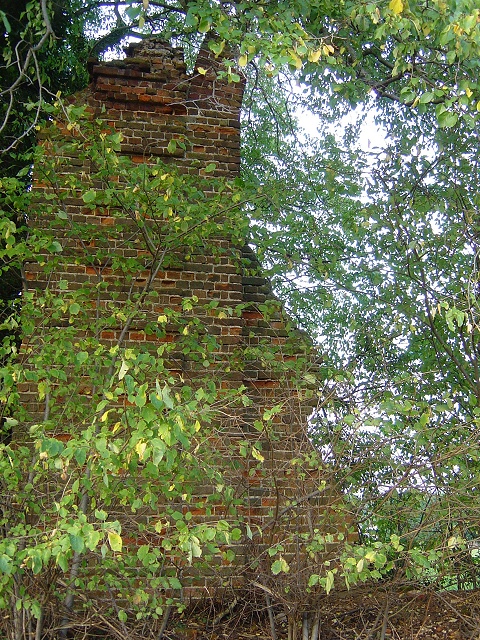
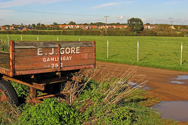
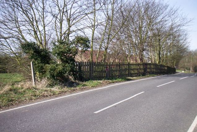
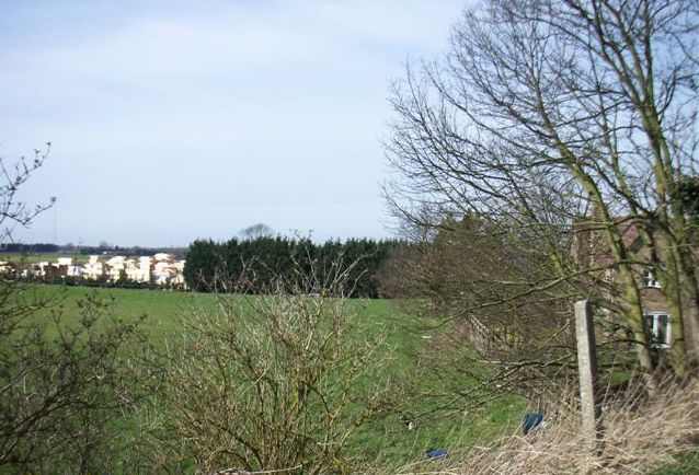
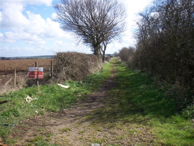
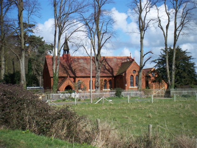
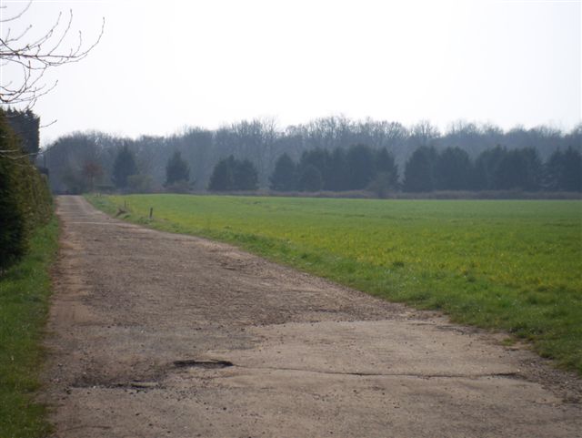
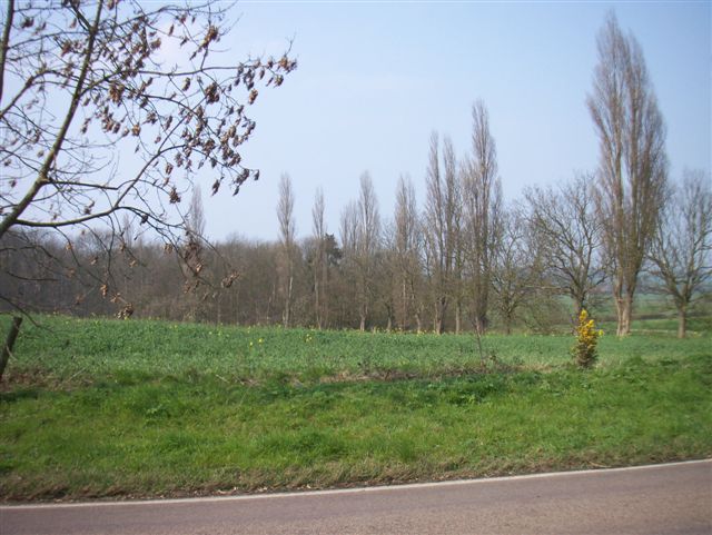
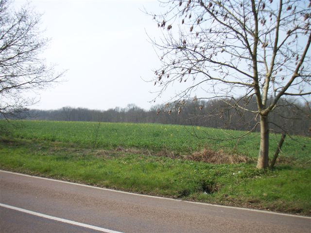
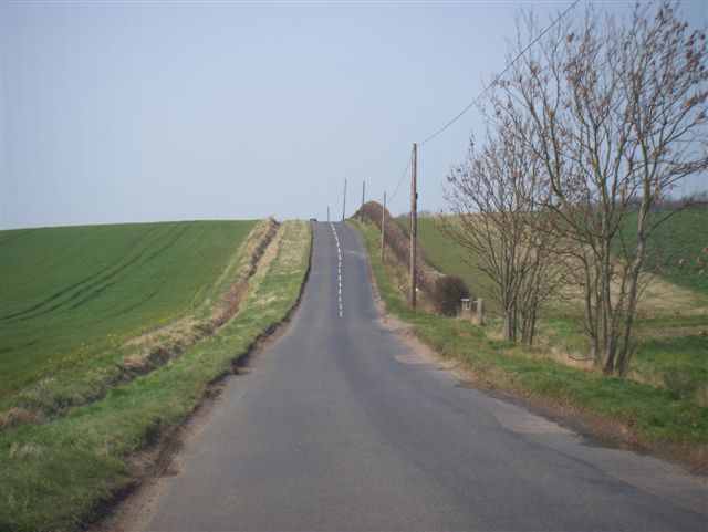
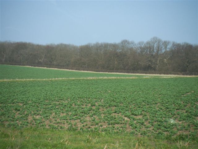
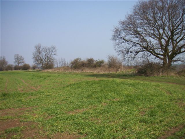
Dennis Green Images
Images are sourced within 2km of 52.152487/-0.20026621 or Grid Reference TL2351. Thanks to Geograph Open Source API. All images are credited.


Dennis Green is located at Grid Ref: TL2351 (Lat: 52.152487, Lng: -0.20026621)
Administrative County: Cambridgeshire
District: South Cambridgeshire
Police Authority: Cambridgeshire
What 3 Words
///crabmeat.shins.spent. Near Gamlingay, Cambridgeshire
Nearby Locations
Related Wikis

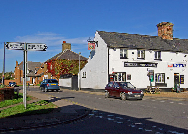
Gamlingay
Gamlingay is a village and civil parish in the South Cambridgeshire district of Cambridgeshire, England about 14 miles (23 km) west southwest of the county...

Gamlingay Village College
Gamlingay Village College was a middle school with academy status located in Gamlingay, Cambridgeshire, England. It was the only middle school in Cambridgeshire...
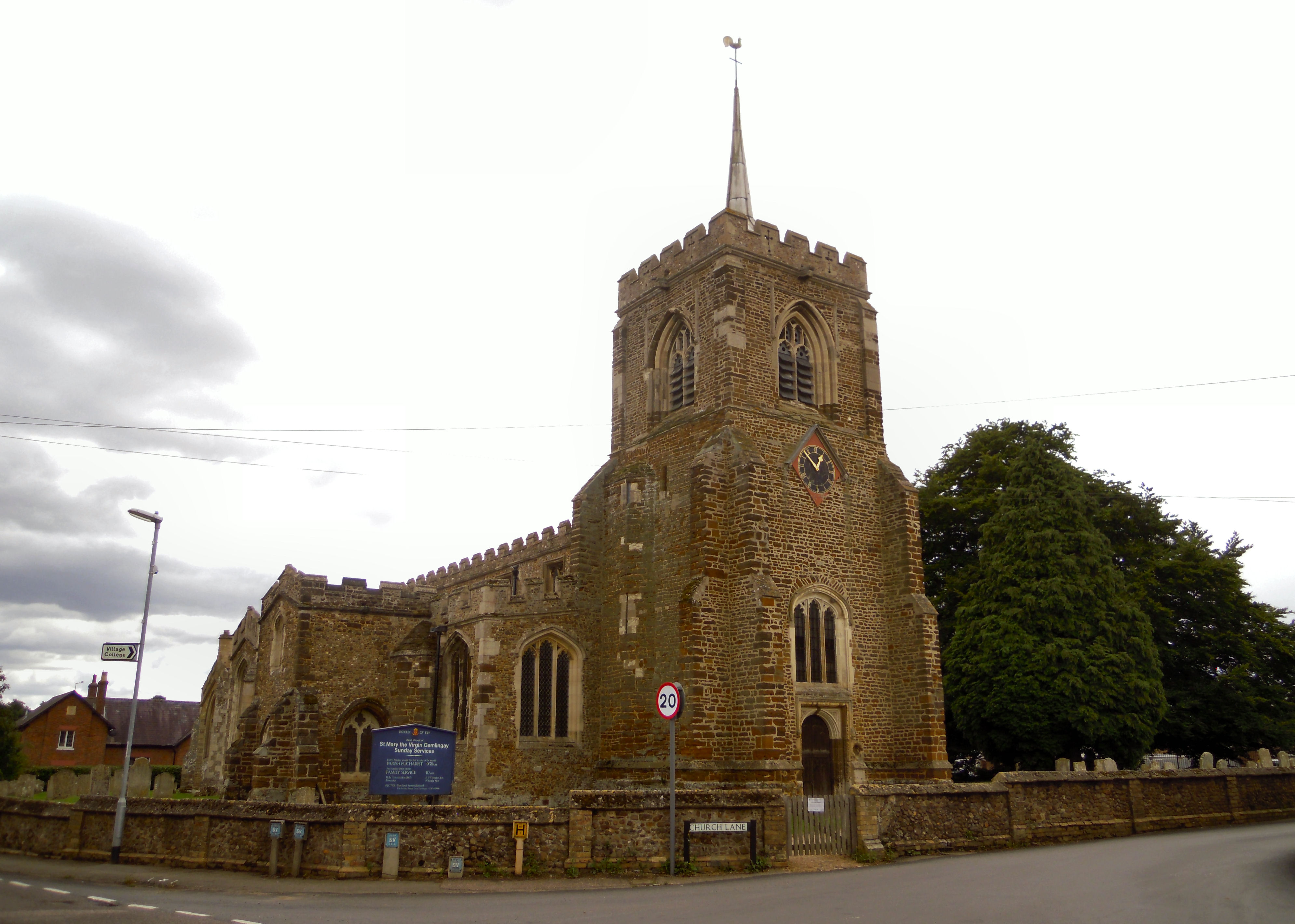
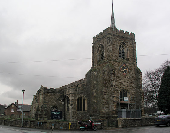
Church of St Mary the Virgin, Gamlingay
The Church of St Mary the Virgin is the parish church for the village of Gamlingay in Cambridgeshire and is dedicated to St Mary the Virgin. Gamlingay...
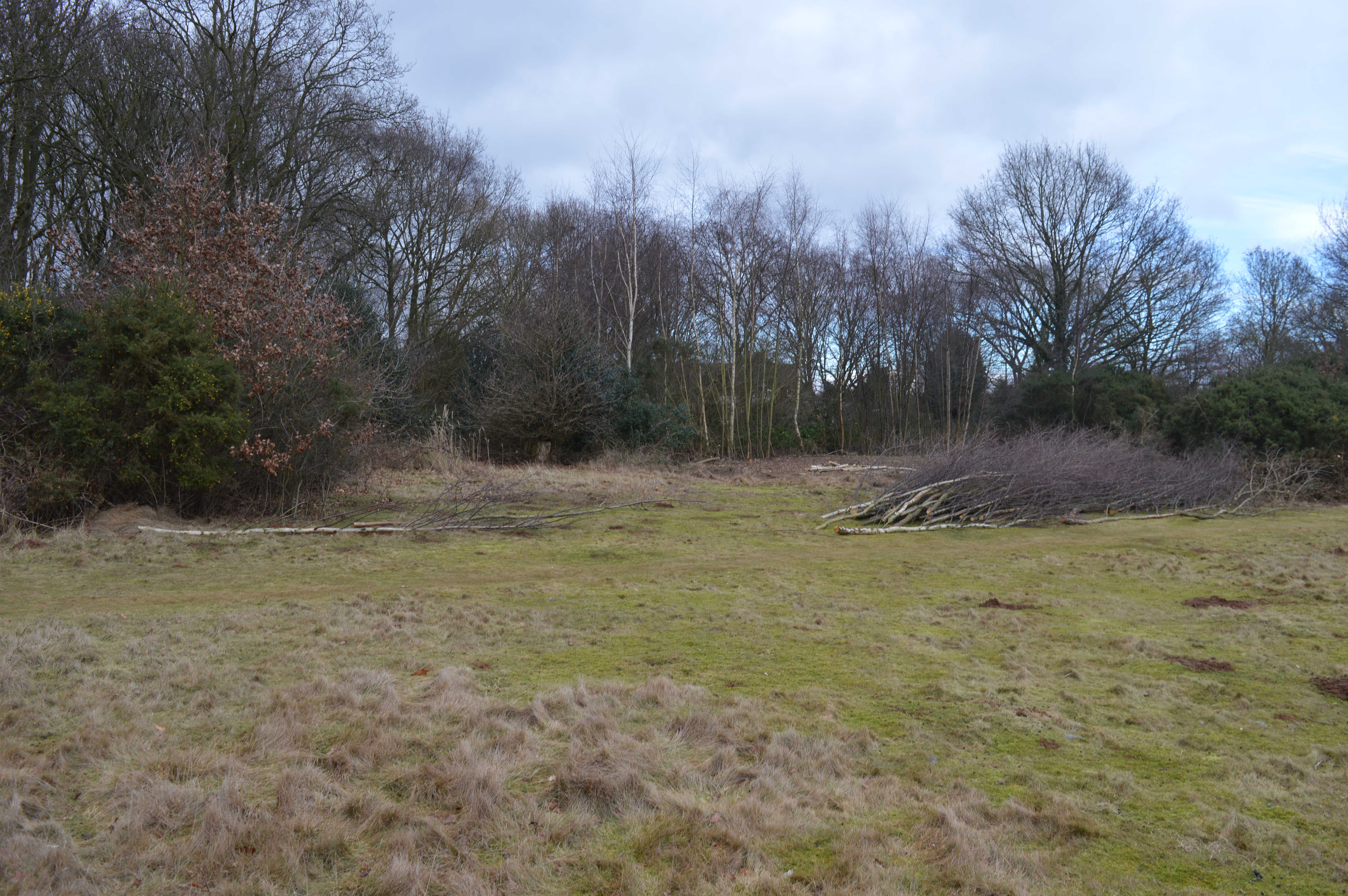
Gamlingay Cinques
Gamlingay Cinques is a 3.4-hectare (8.4-acre) nature reserve in Gamlingay in Cambridgeshire. It is managed by the Wildlife Trust for Bedfordshire, Cambridgeshire...
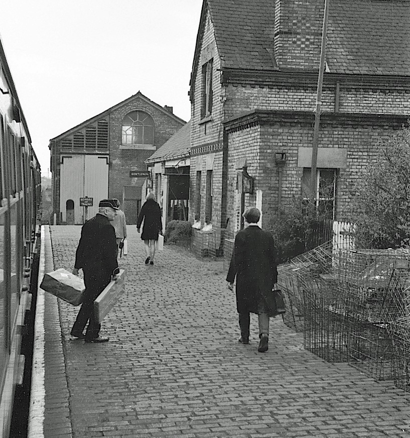
Gamlingay railway station
Gamlingay railway station was a railway station on the Varsity Line which served the small village of Gamlingay in Cambridgeshire, England. The station...
Tetworth
Tetworth is a village and former civil parish, now in the parish of Waresley-cum-Tetworth, in Cambridgeshire, England. Tetworth lies approximately 12 miles...

Gamlingay Wood
Gamlingay Wood is a 48.4-hectare (120-acre) biological Site of Special Scientific Interest (SSSI) north of Gamlingay in Cambridgeshire. It is managed by...

Weaveley and Sand Woods
Weaveley and Sand Woods is a 62.0-hectare (153-acre) biological Site of Special Scientific Interest north of Gamlingay in Cambridgeshire.This site has...
Nearby Amenities
Located within 500m of 52.152487,-0.20026621Have you been to Dennis Green?
Leave your review of Dennis Green below (or comments, questions and feedback).