Deepdale
Settlement in Lancashire Preston
England
Deepdale
Deepdale is a small village located in the county of Lancashire, England. Situated in the picturesque Ribble Valley, Deepdale is part of the Forest of Bowland Area of Outstanding Natural Beauty. The village is nestled between the towns of Preston and Clitheroe, offering a tranquil and rural setting.
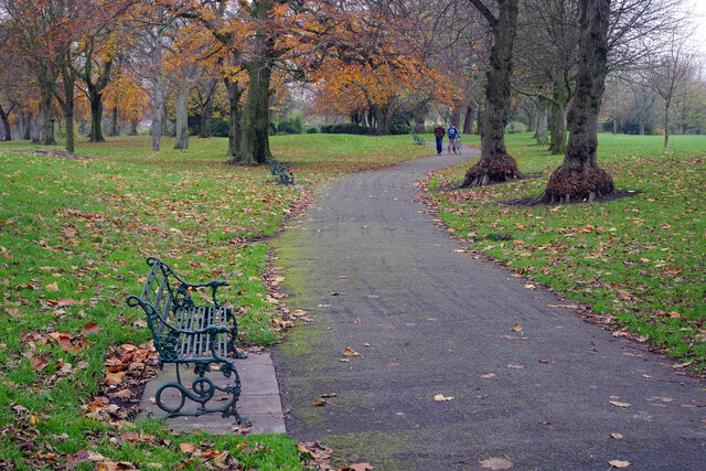
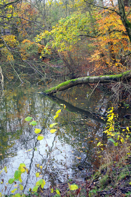
Known for its stunning landscapes, Deepdale is surrounded by rolling hills, lush green fields, and charming woodlands. The River Ribble flows nearby, providing a scenic backdrop for outdoor activities such as fishing and boating. The village is also close to several nature reserves, including Brockholes and Ribble Estuary, which attract a variety of wildlife and bird species.
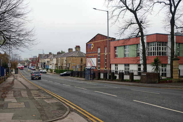
Despite its rural character, Deepdale offers convenient access to amenities and services. The nearby towns provide a range of shops, restaurants, and leisure facilities, ensuring residents have everything they need within a short distance. The village also benefits from good transport links, with the M6 motorway and Preston railway station easily accessible.
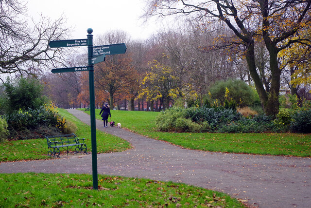
Deepdale has a close-knit community, with a mix of residential properties, including traditional stone cottages and modern houses. The village has a primary school, making it an attractive location for families. There are also numerous walking and cycling routes in the area, allowing residents to explore the natural beauty of the Ribble Valley.
Overall, Deepdale offers a peaceful and idyllic setting for those seeking a rural lifestyle with easy access to amenities and stunning natural surroundings.
If you have any feedback on the listing, please let us know in the comments section below.
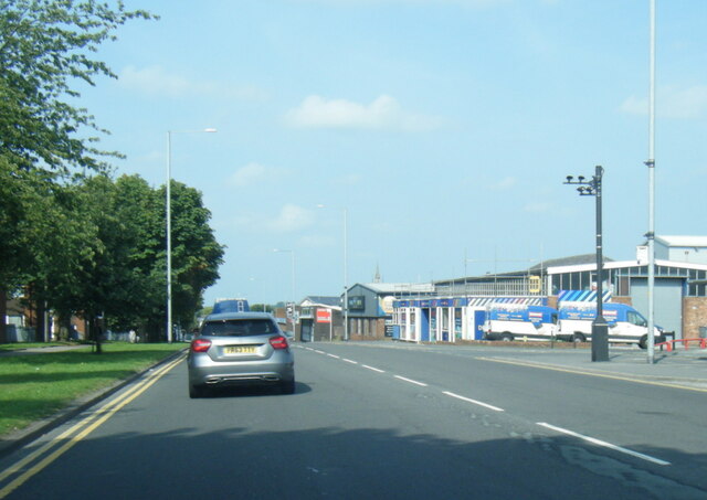
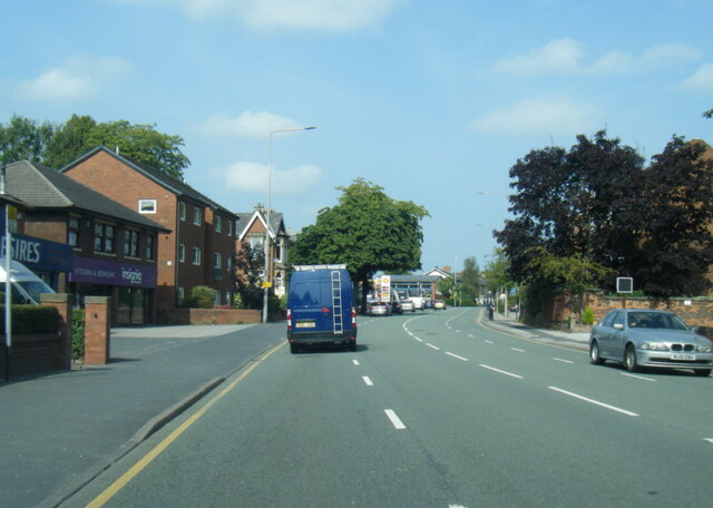
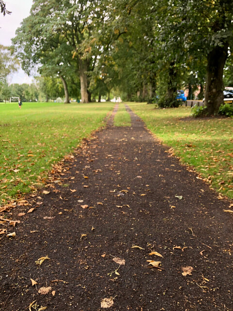
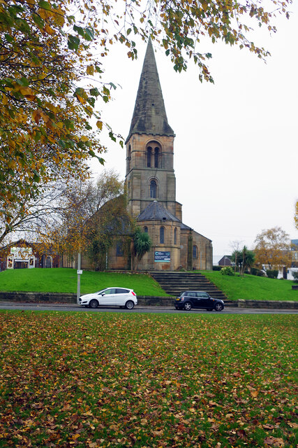
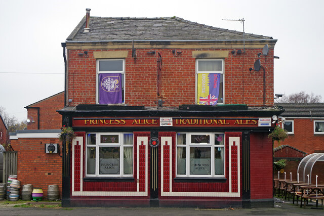
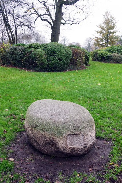
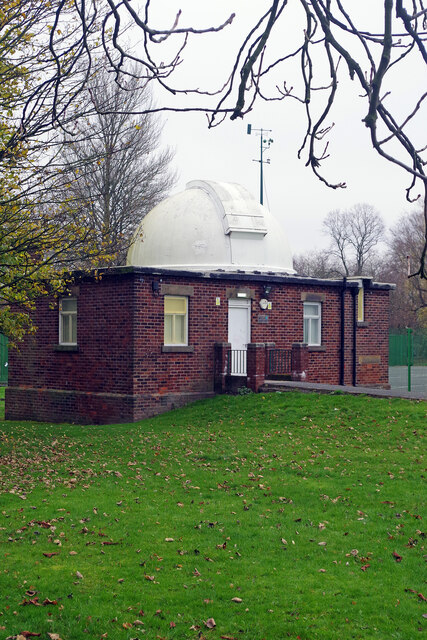
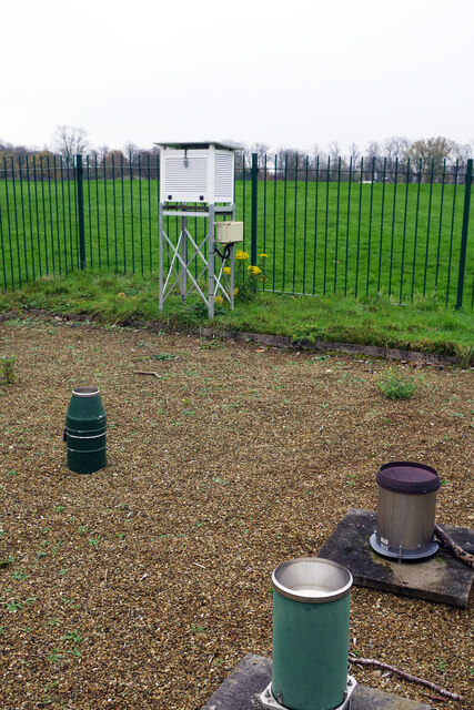
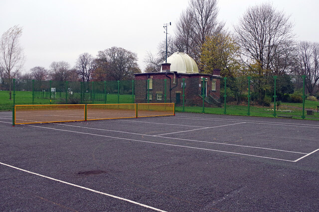
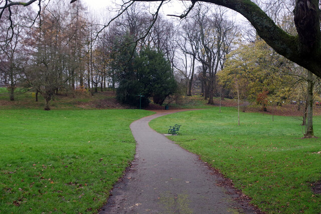
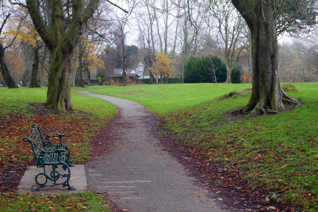
Deepdale Images
Images are sourced within 2km of 53.769298/-2.6895091 or Grid Reference SD5430. Thanks to Geograph Open Source API. All images are credited.


Deepdale is located at Grid Ref: SD5430 (Lat: 53.769298, Lng: -2.6895091)
Administrative County: Lancashire
District: Preston
Police Authority: Lancashire
What 3 Words
///fancy.brands.warm. Near Preston, Lancashire
Nearby Locations
Related Wikis
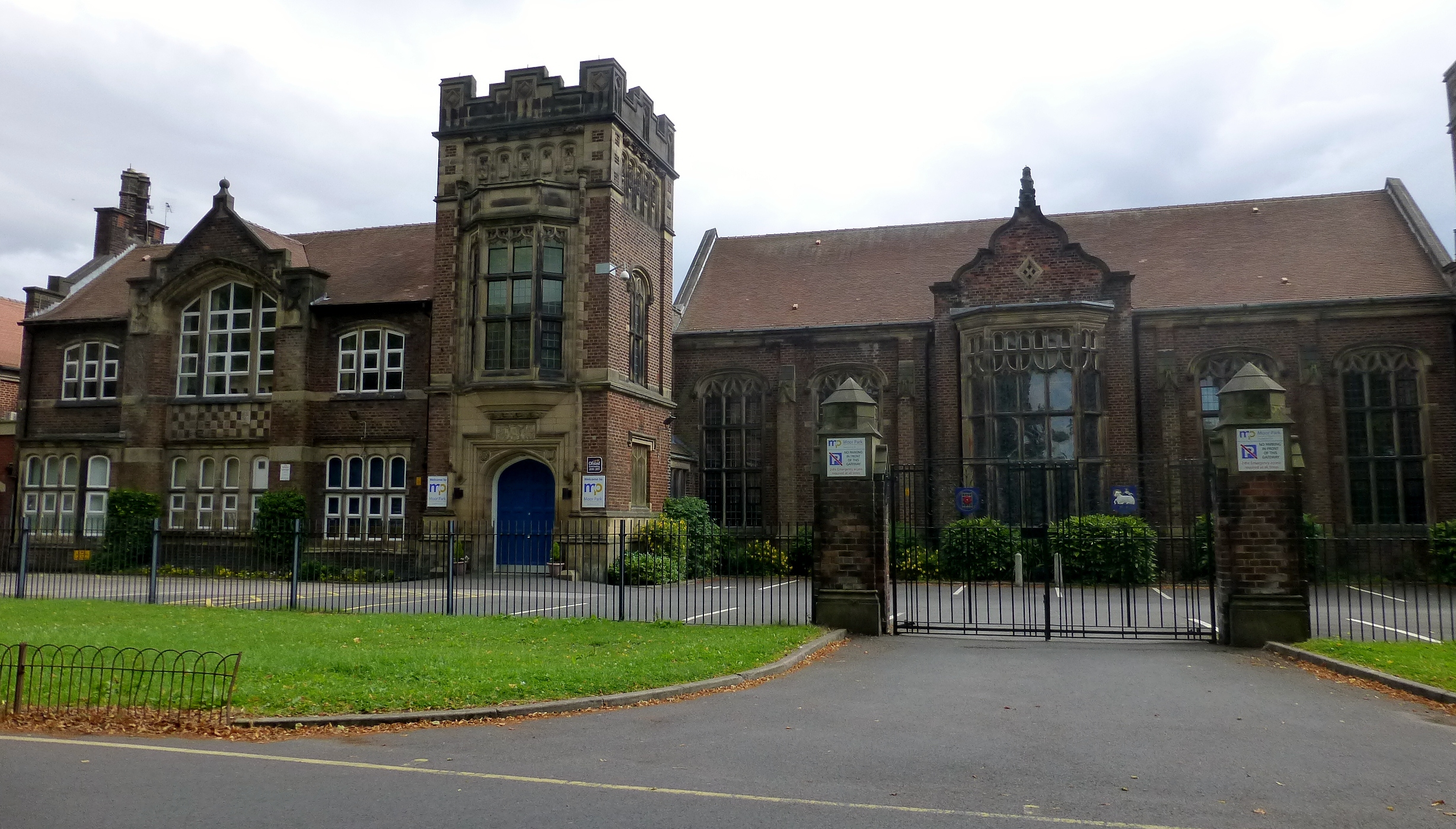
Moor Park High School
Moor Park High School is a coeducational secondary school and sixth form located in Preston in the English county of Lancashire.It is a foundation school...
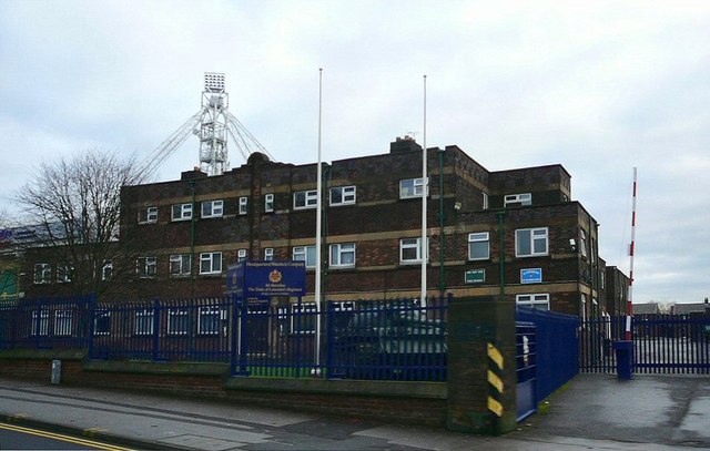
Kimberley Barracks
Kimberley Barracks is a military installation on Deepdale Road in Preston in Lancashire, England PR1 6PR. == Naming == The name of the barracks is based...
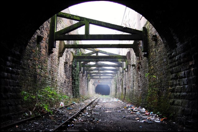
Deepdale railway station
Deepdale railway station (also known as Deepdale Bridge station) was on the Longridge Branch Line in Preston, Lancashire, England. The station opened in...

Preston Muslim Girls High School
Preston Muslim Girls High School is a secondary school located in the Deepdale area of Preston in the English county of Lancashire.It was founded in 1989...
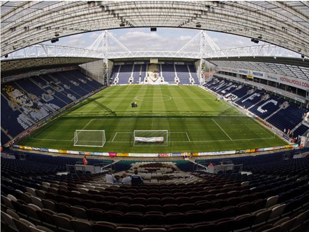
Deepdale
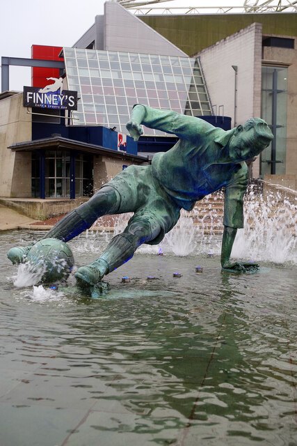
Deepdale is a football stadium in the Deepdale area of Preston, England, the home of Preston North End. Deepdale is "widely recognised as being the oldest...
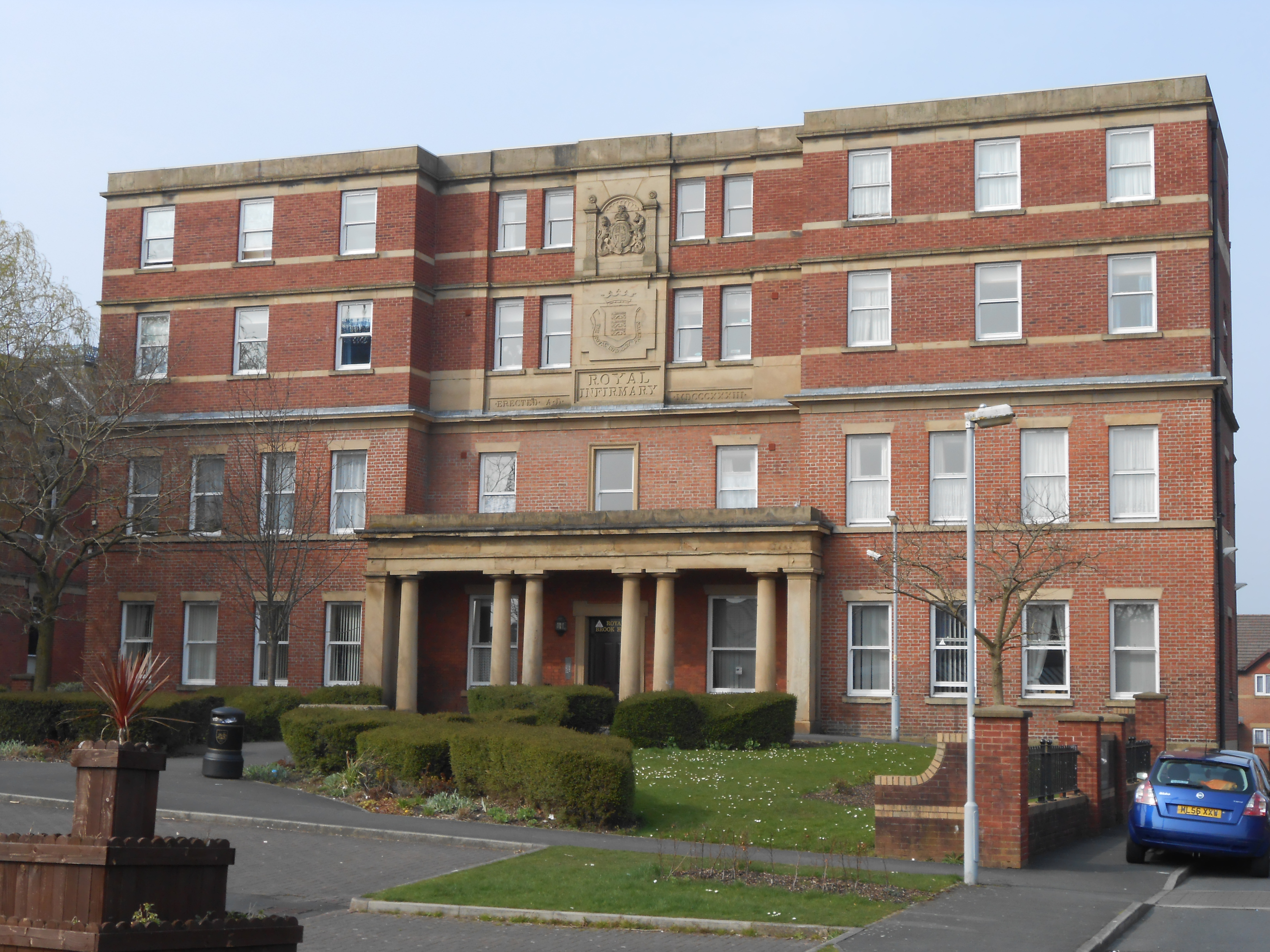
Preston Royal Infirmary
The Preston Royal Infirmary was an acute general hospital in Preston, Lancashire, England. Two remaining buildings are Grade II listed buildings. ��2...
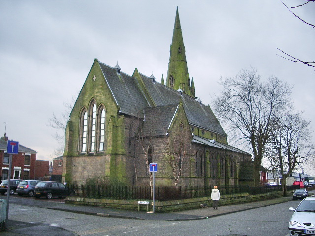
St Luke's Church, Preston
St Luke's Church is a redundant Anglican parish church in St Luke's Place, Preston, Lancashire, England. The church is recorded in the National Heritage...
Deepdale Street railway station
Deepdale Street railway station was the original Preston terminus of the Preston and Longridge Railway in Lancashire, England, when it first opened in...
Nearby Amenities
Located within 500m of 53.769298,-2.6895091Have you been to Deepdale?
Leave your review of Deepdale below (or comments, questions and feedback).