Darnley
Settlement in Renfrewshire
Scotland
Darnley
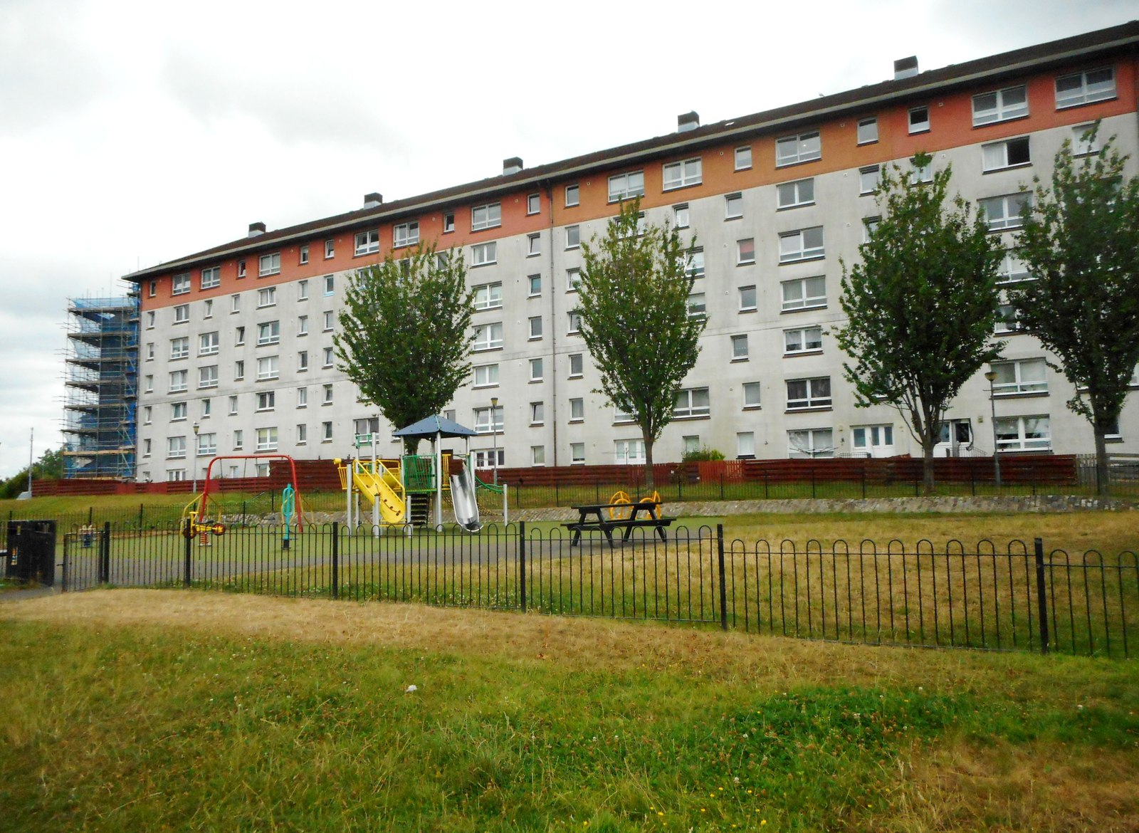
Darnley is a small suburban area located in the county of Renfrewshire, Scotland. Situated around 7 miles southwest of the city of Glasgow, Darnley is part of the Greater Glasgow urban area. The area is primarily residential, offering a tranquil and picturesque environment for its residents.
Darnley is known for its beautiful green spaces, with several parks and open areas scattered throughout the neighborhood. One of the most prominent is Darnley Millennium Park, a large public park that features walking trails, play areas, and a pond. The park is a popular spot for families and nature enthusiasts, offering a peaceful retreat from the hustle and bustle of city life.
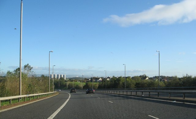
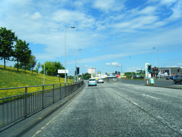
The area is well-served by transportation links, with frequent bus services connecting Darnley to Glasgow city center and other nearby towns. The M77 motorway is also easily accessible, providing convenient road connections to the wider region.
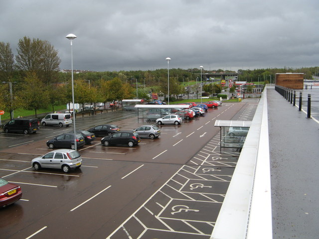
In terms of amenities, Darnley offers a range of amenities to cater to the needs of its residents. There are several shopping centers nearby, including Darnley Retail Park, which hosts a variety of retail outlets, restaurants, and supermarkets. The area also boasts a number of schools, making it an attractive location for families.
Overall, Darnley in Renfrewshire offers a peaceful and convenient suburban lifestyle, with its abundance of green spaces, good transport links, and a range of amenities.
If you have any feedback on the listing, please let us know in the comments section below.
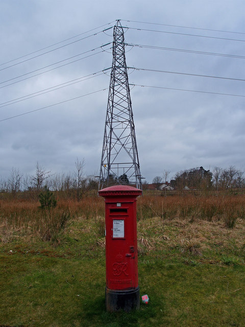
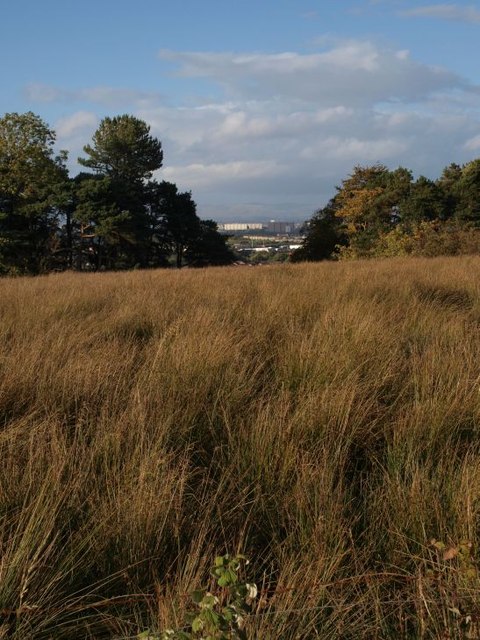
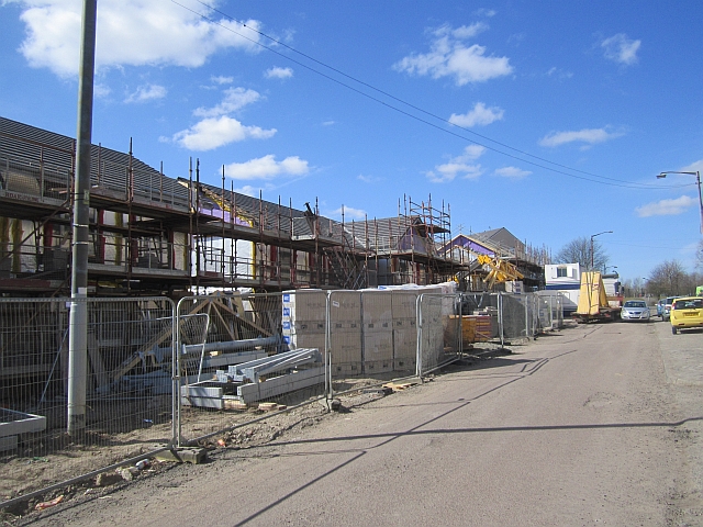
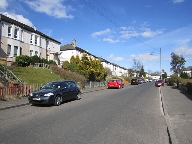
Darnley Images
Images are sourced within 2km of 55.809115/-4.3404925 or Grid Reference NS5359. Thanks to Geograph Open Source API. All images are credited.


Darnley is located at Grid Ref: NS5359 (Lat: 55.809115, Lng: -4.3404925)
Unitary Authority: City of Glasgow
Police Authority: Greater Glasgow
What 3 Words
///spoken.goes.hype. Near Thornliebank, East Renfrewshire
Nearby Locations
Related Wikis
Darnley
Darnley is an area in south-west Glasgow, Scotland, on the A727 just west of Arden (the areas are separated by the M77 motorway although a footbridge connects...
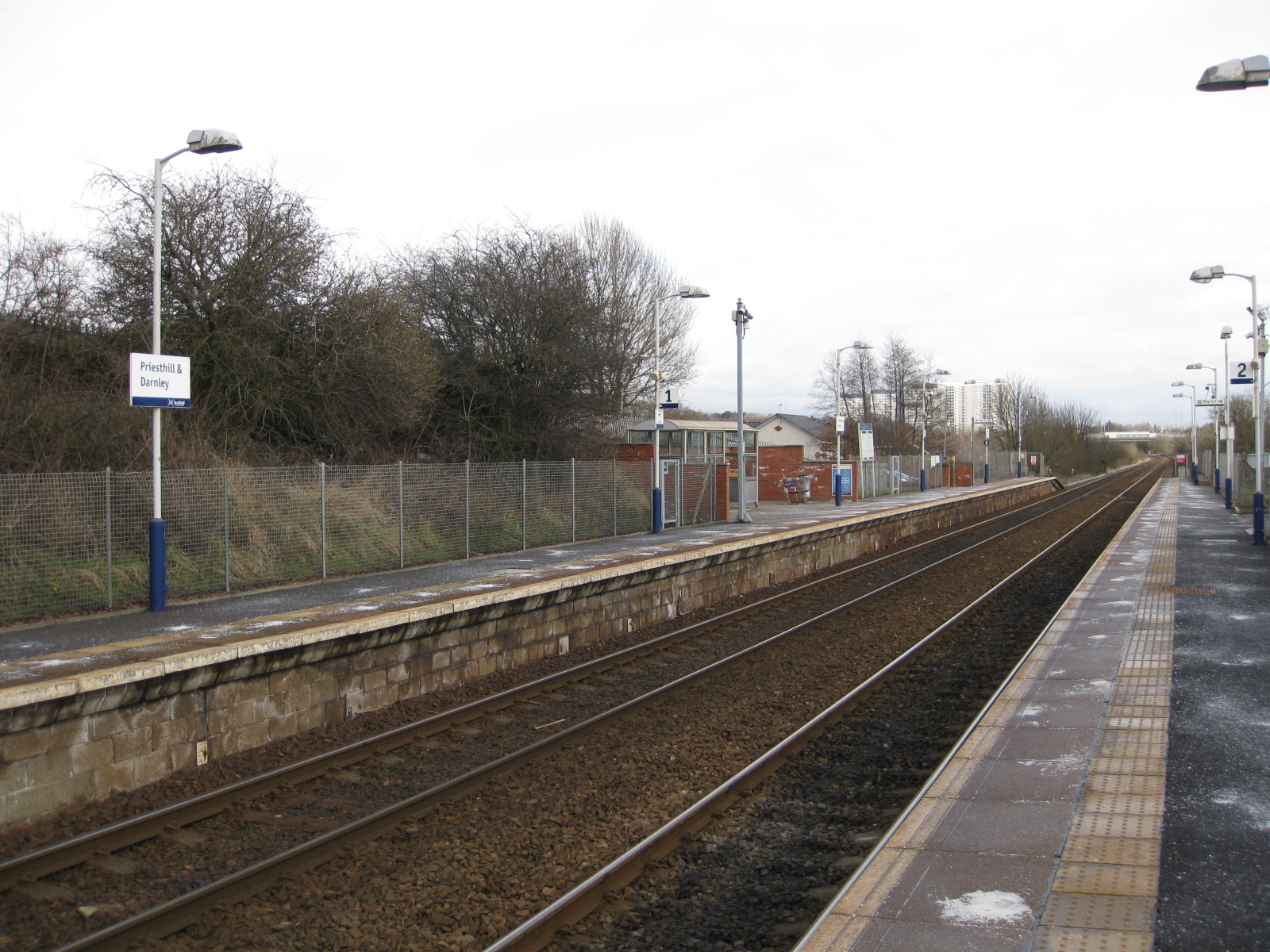
Priesthill & Darnley railway station
Priesthill & Darnley railway station is a railway station serving the Priesthill and Darnley districts of Glasgow, Scotland. The station is managed by...

Darnley Lime Works Tramway and Mineral Railway
The Darnley Lime Works Tramway and Mineral Railway consisted of a narrow gauge field railway and probably a standard gauge works railway at today's Dams...

Arden, Glasgow
Arden is a medium-sized housing estate on the south-western edge of the city of Glasgow, Scotland. The M77 motorway runs directly to the west of the neighbourhood...
Nearby Amenities
Located within 500m of 55.809115,-4.3404925Have you been to Darnley?
Leave your review of Darnley below (or comments, questions and feedback).