Darlingscote
Settlement in Warwickshire Stratford-on-Avon
England
Darlingscote
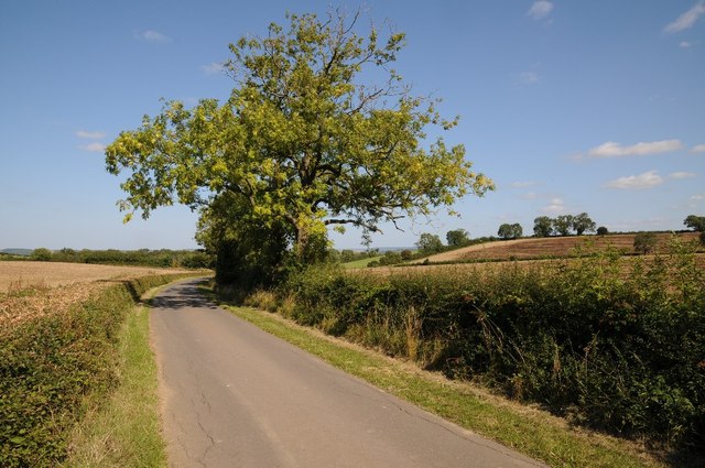
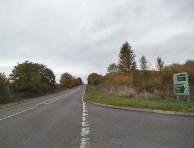
Darlingscote is a small village located in the county of Warwickshire, England. Situated approximately 3 miles east of the town of Shipston-on-Stour, Darlingscote is nestled in a picturesque rural setting, surrounded by rolling hills and farmland. The village is located near the A3400 road, providing easy access to nearby towns and cities.
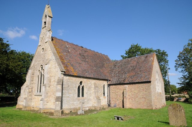
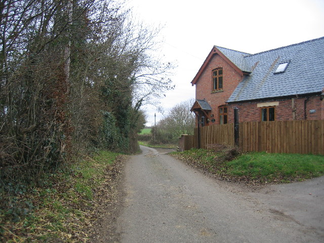
Darlingscote is known for its quaint and charming atmosphere, characterized by traditional stone cottages and a sense of community. The village is home to a population of around 200 residents, creating a close-knit and friendly environment.
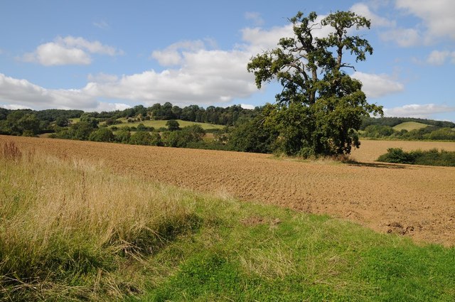
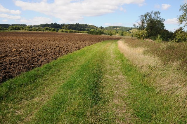
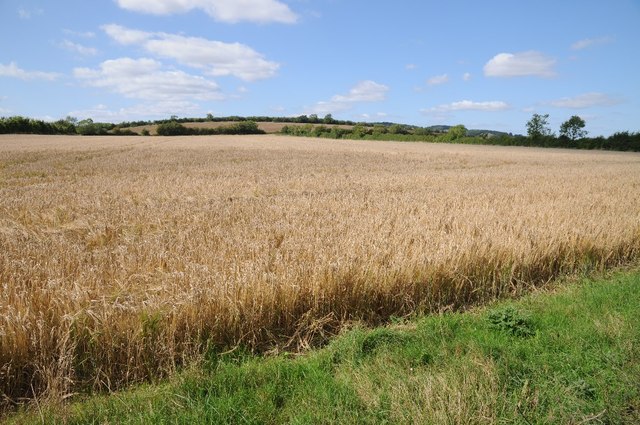
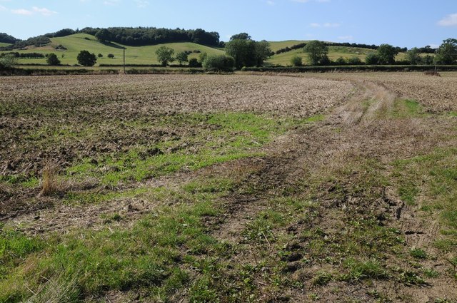
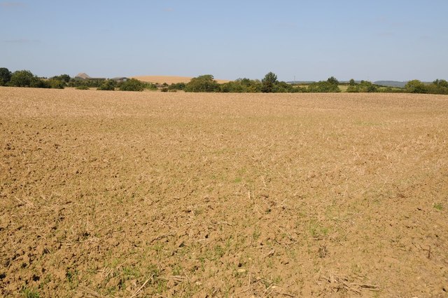
Despite its small size, Darlingscote has a rich history, with records dating back to the Domesday Book of 1086. The village was originally a farming community, and remnants of its agricultural past can still be seen today.
In terms of amenities, Darlingscote offers a limited range of facilities. There is a local village hall, which serves as a gathering place for community events and social activities. The nearest shops, schools, and other services can be found in the nearby town of Shipston-on-Stour.
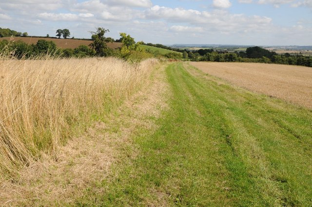
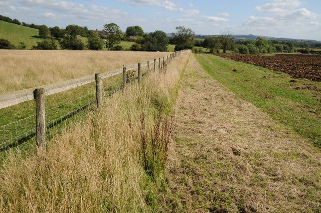
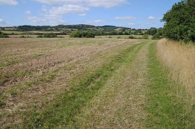
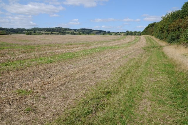
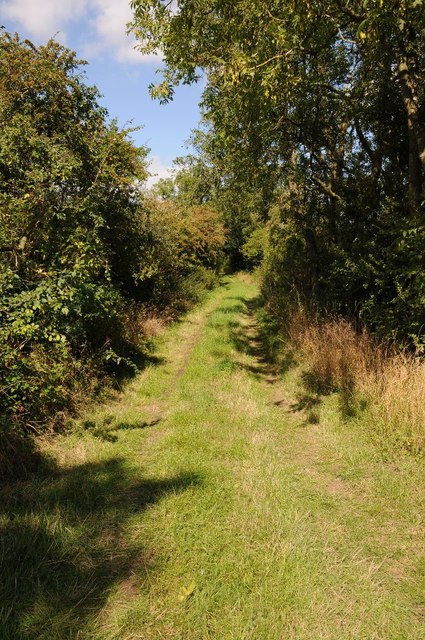
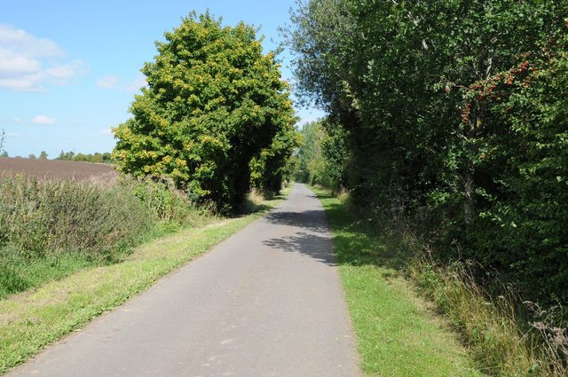
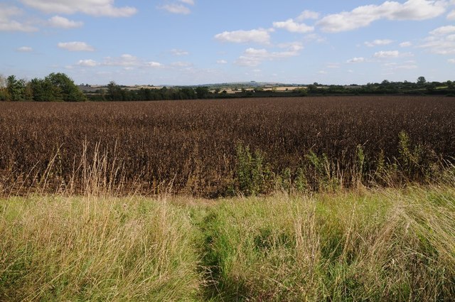
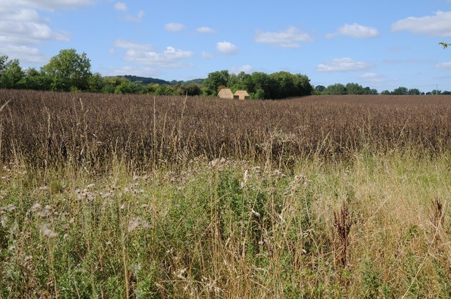
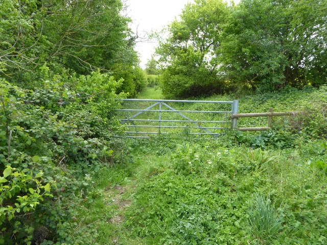
Darlingscote is surrounded by beautiful countryside, making it a popular destination for outdoor enthusiasts. The village is located close to several walking and cycling routes, providing opportunities to explore the scenic Warwickshire landscape.
Overall, Darlingscote offers a tranquil and idyllic setting for those seeking a peaceful rural lifestyle, while still being within easy reach of nearby towns and amenities.
If you have any feedback on the listing, please let us know in the comments section below.
Darlingscote Images
Images are sourced within 2km of 52.076498/-1.6618953 or Grid Reference SP2342. Thanks to Geograph Open Source API. All images are credited.
Darlingscote is located at Grid Ref: SP2342 (Lat: 52.076498, Lng: -1.6618953)
Administrative County: Warwickshire
District: Stratford-on-Avon
Police Authority: Warwickshire
Also known as: Darlingscott
What 3 Words
///interrupt.scrubber.slips. Near Shipston on Stour, Warwickshire
Nearby Locations
Related Wikis
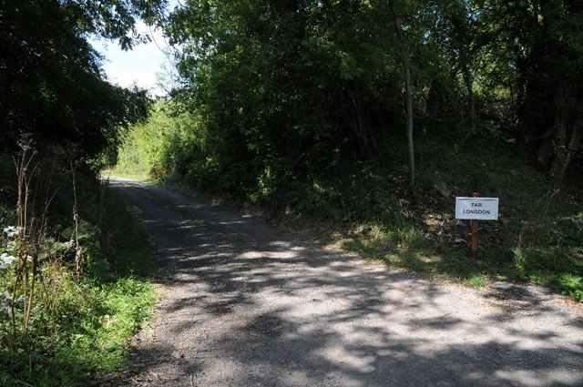
Longdon Road railway station
Longdon Road railway station served the hamlet of Darlingscott, Warwickshire. It was on the branch line from Moreton-in-Marsh to Shipston. == History... ==

Darlingscott
Darlingscott is a hamlet in the civil parish of Tredington, in Warwickshire, England. It is near the A429 road and is 7 miles (11 km) south of the town...

Flowers Wood
Flowers Wood is a community woodland near Ilmington in Warwickshire, England. It covers a total area of 1.67 hectares (4.13 acres). It is owned and managed...
Shipston High School
Shipston High School is a coeducational secondary school with academy status in Shipston-on-Stour in Warwickshire, England. It is situated in the North...

Ilmington
Ilmington is a village and civil parish about 3.5 miles (5.6 km) north-west of Shipston-on-Stour and 8 miles (13 km) south of Stratford-upon-Avon in the...

Shipston-on-Stour railway station
Shipston-on-Stour railway station was a railway station which served the town of Shipston-on-Stour, Warwickshire. It was the terminus of the Shipston-on...
Shipston-on-Stour RFC
Shipston-on-Stour Rugby Football Club is an English rugby union team based in Shipston-on-Stour in Warwickshire. They currently play in Regional 2 South...
Armscote
Armscote is a small village, some three miles north of Shipston-on-Stour in Warwickshire, England. It is located a mile off the A429 road which is the...
Nearby Amenities
Located within 500m of 52.076498,-1.6618953Have you been to Darlingscote?
Leave your review of Darlingscote below (or comments, questions and feedback).