Crossways
Settlement in Kent Dartford
England
Crossways
Crossways is a small village located in the county of Kent, in southeastern England. Situated about 10 miles south of the city of Canterbury, it falls within the administrative district of Dover. The village is positioned at the crossroads of the A2 and A260 roads, making it easily accessible by both car and public transportation.
Despite its small size, Crossways boasts a close-knit community and a range of amenities. The village is home to a primary school, which serves the local children, and a village hall that hosts various community events. Additionally, residents have access to a convenience store, a post office, and a pub, providing essential services and a social hub for the locals.
The surrounding countryside offers picturesque views and ample opportunities for outdoor activities. The nearby Lydden Hill Race Circuit is a popular destination for motorsports enthusiasts, hosting various racing events throughout the year. Furthermore, the village is conveniently located near the Kent Downs Area of Outstanding Natural Beauty, providing residents with beautiful landscapes to explore.
Transport links are well-established in Crossways, with regular bus services connecting the village to neighboring towns and cities. The nearby railway station in Dover offers further connectivity to London and other major cities.
Overall, Crossways provides a peaceful and rural setting, while still offering essential amenities and convenient transportation options for its residents.
If you have any feedback on the listing, please let us know in the comments section below.
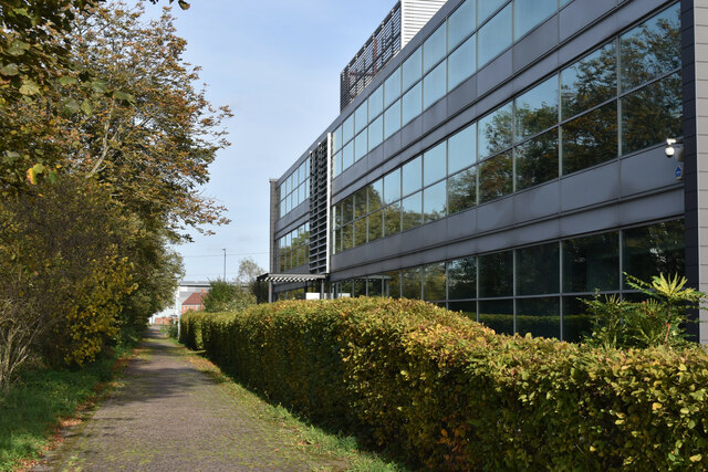
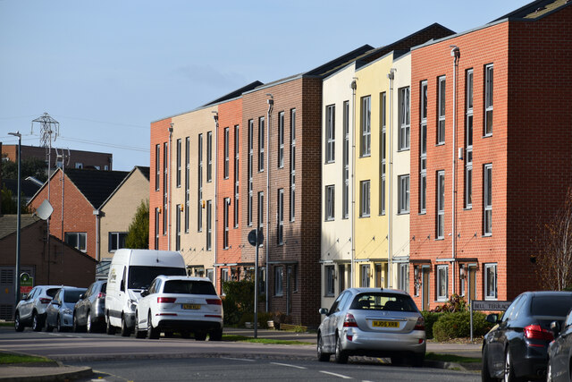
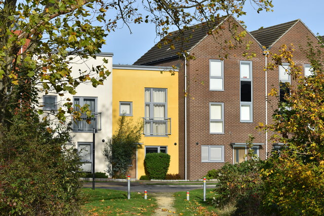
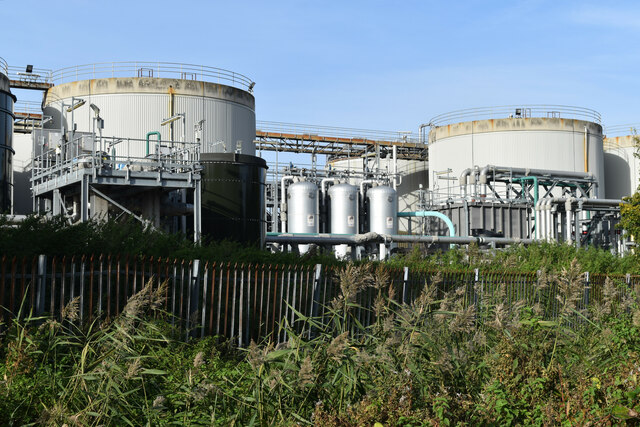
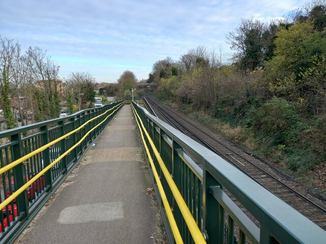
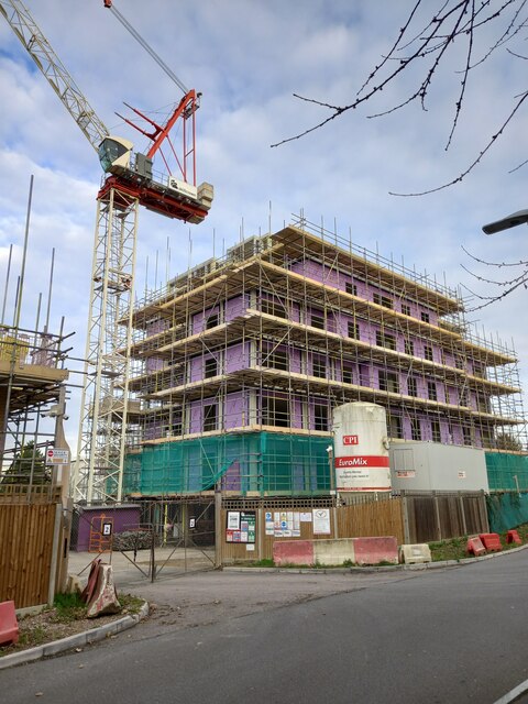
Crossways Images
Images are sourced within 2km of 51.456936/0.25092031 or Grid Reference TQ5675. Thanks to Geograph Open Source API. All images are credited.


Crossways is located at Grid Ref: TQ5675 (Lat: 51.456936, Lng: 0.25092031)
Administrative County: Kent
District: Dartford
Police Authority: Kent
What 3 Words
///region.enter.drama. Near Stone, Kent
Nearby Locations
Related Wikis

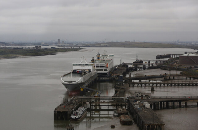
Thames Europort
Thames Europort is a roll-on/roll-off port facility at Stone in Kent, England, close to Dartford. The facility is situated on the southern side of the...

Dartford Crossing
The Dartford–Thurrock River Crossing, commonly known as the Dartford Crossing and until 1991 the Dartford Tunnel, is a major road crossing of the River...

Stone Crossing railway station
Stone Crossing railway station is located on the North Kent line, north-east of the village of Stone and east of Dartford. It was originally named Stone...
Dartford Cable Tunnel
The Dartford Cable Tunnel is a 2.4 km utility tunnel beneath the Thames, upstream of the Dartford Crossing. With a diameter of ~3 m (10 ft), it carries...

Littlebrook Power Station
The Littlebrook Power Station were a series of four oil and coal-fired power stations situated on the south bank of the River Thames, next to the Queen...
Fantaseas
Fantaseas was a chain of indoor waterparks situated in the United Kingdom that opened in the late 1980s, but due to various technical and financial difficulties...

Stone House Hospital
Stone House Hospital was a hospital and former mental illness treatment facility in Stone, near Dartford, Kent, in the United Kingdom. == History == Stone...
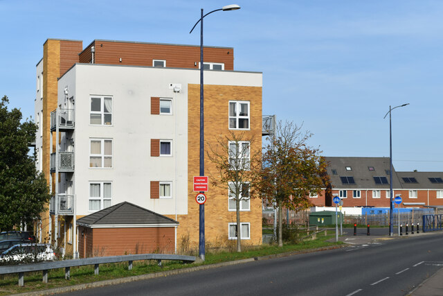
Stone, Kent
Stone is a village in the Borough of Dartford in Kent, England. It is located 2.5 miles east of Dartford. == History == Iron Age pottery and artefacts...
Nearby Amenities
Located within 500m of 51.456936,0.25092031Have you been to Crossways?
Leave your review of Crossways below (or comments, questions and feedback).