Crossway

Settlement in Herefordshire

England

Crossway

Lower Cwmcoched The Welsh border with Herefordshire follows the woodland edge to the left.
The farm tucked below the bulk of Hatterrall Hill is in England.
Lower Cwmcoched Credit: Jonathan Billinger

Crossway is a small village and civil parish located in the county of Herefordshire, England. Situated in the West Midlands region, it lies approximately 4 miles northeast of the city of Hereford. The village is nestled in the picturesque countryside, surrounded by rolling hills and rural landscapes.

Crossway is known for its tranquil and idyllic setting, offering residents and visitors a peaceful retreat away from the hustle and bustle of city life. The village is home to a close-knit community, with a population of around 300 people. The parish is governed by a local council, ensuring the smooth running and development of the area.

The village of Crossway boasts a few amenities to cater to the needs of its residents. These include a village hall, providing a venue for various community events and gatherings. In addition, there is a local pub where locals and visitors can enjoy a drink or a meal in a friendly atmosphere.

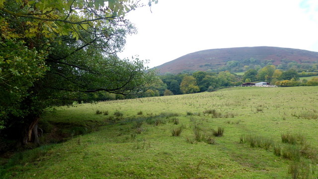
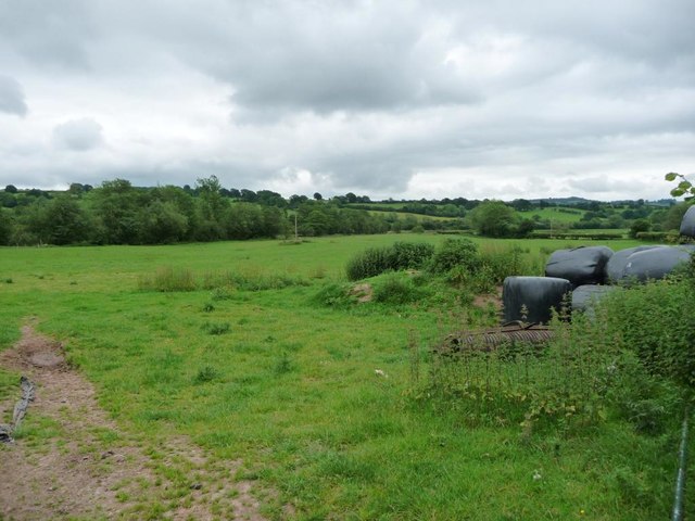
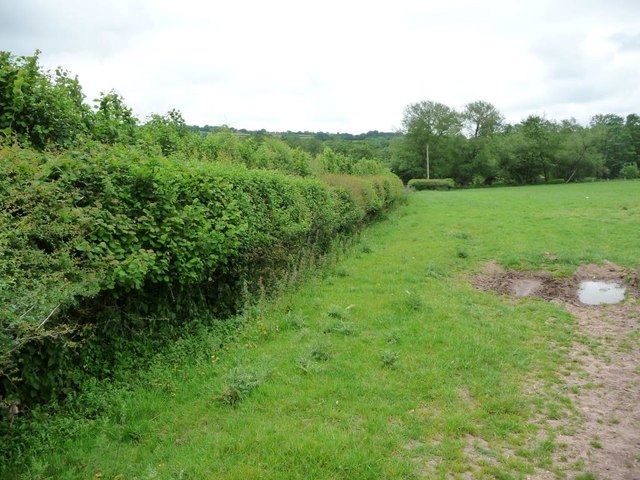
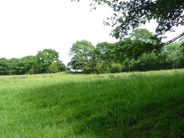
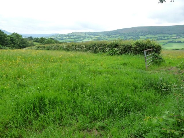
The surrounding countryside offers ample opportunities for outdoor activities and exploration. The area is crisscrossed with footpaths and bridleways, making it a haven for walkers, hikers, and cyclists. Additionally, the nearby River Wye provides opportunities for fishing and boating.

Overall, Crossway, Herefordshire, with its charming rural setting, close community, and access to natural beauty, offers a peaceful and picturesque place to reside or visit.

If you have any feedback on the listing, please let us know in the comments section below.
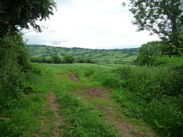
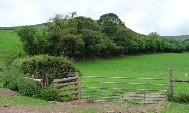
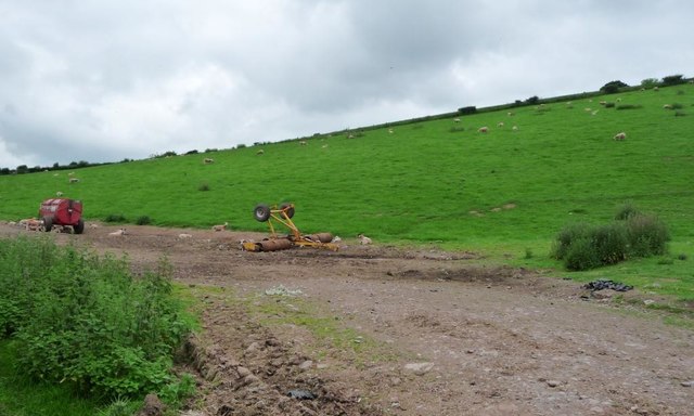
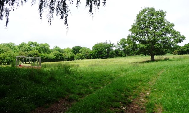
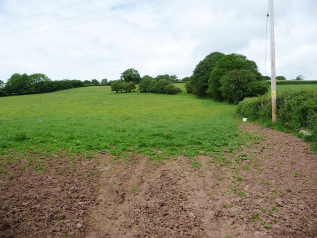
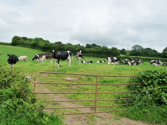
Crossway Images

Images are sourced within 2km of 51.925653/-2.955782 or Grid Reference SO3425. Thanks to Geograph Open Source API. All images are credited.
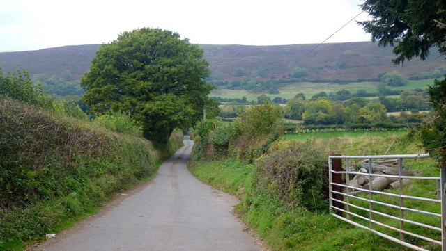
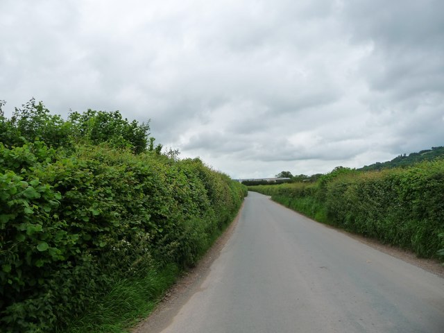
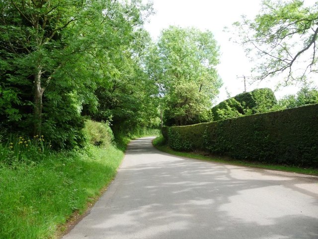
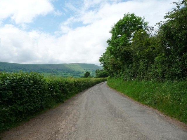
Lower Cwmcoched The Welsh border with Herefordshire follows the woodland edge to the left.
The farm tucked below the bulk of Hatterrall Hill is in England.
Lower Cwmcoched
The Welsh border with Herefordshire follows the woodland edge to the left. The farm tucked below the bulk of Hatterrall Hill is in England.
Lane entering Wales Unusually a road from England enters Wales from the north, the first property is Glandwr.
Lane entering Wales
Unusually a road from England enters Wales from the north, the first property is Glandwr.
Lane to Oldcastle As can be seen, the hamlet nestles in the shelter of Hatterrall Hill.
Lane to Oldcastle
As can be seen, the hamlet nestles in the shelter of Hatterrall Hill.
Silage/haylage storage Farm premises opposite the dead-end lane to Oldcastle.
Silage/haylage storage
Farm premises opposite the dead-end lane to Oldcastle.
Farmland north-east of Oldcastle The far side of the valley is in Herefordshire.
Farmland north-east of Oldcastle
The far side of the valley is in Herefordshire.
Heading north to England Narrow road on the west bank of the River Monnow / Afon Mynwy, at a 114 metre spot height.
Heading north to England
Narrow road on the west bank of the River Monnow / Afon Mynwy, at a 114 metre spot height.
Hedge becoming a wood, north of Oldcastle The boundary of a sheep field on the west bank of the River Monnow / Afon Mynwy.
Hedge becoming a wood, north of Oldcastle
The boundary of a sheep field on the west bank of the River Monnow / Afon Mynwy.
Sheep grazing on a hillside near the Old Post Office About 125 metres above sea level.
Sheep grazing on a hillside near the Old Post Office
About 125 metres above sea level.
Pasture, west bank of the River Monnow / Afon Mynwy Grazing for sheep, just inside the Welsh border.
Pasture, west bank of the River Monnow / Afon Mynwy
Grazing for sheep, just inside the Welsh border.
Hedged field boundary along a small drain Looking east to the banks of the River Monnow / Afon Mynwy.
Hedged field boundary along a small drain
Looking east to the banks of the River Monnow / Afon Mynwy.
Hunthouse Lane, heading south-east from Clodock Wider than normal, at the entrance to Oaklea.
Hunthouse Lane, heading south-east from Clodock
Wider than normal, at the entrance to Oaklea.
Pasture field on the north side of Hunthouse Lane Trees on the field boundary are fed by issues.
Pasture field on the north side of Hunthouse Lane
Trees on the field boundary are fed by issues.
Field entrance, off Hunthouse Lane Small trees make up many of the field boundaries in this area.
Field entrance, off Hunthouse Lane
Small trees make up many of the field boundaries in this area.
Farmland with trees, off Hunthouse Lane The row of small trees crossing the field is probably the remains of a field boundary.
Farmland with trees, off Hunthouse Lane
The row of small trees crossing the field is probably the remains of a field boundary.
Hunthouse Lane, heading north-west to Clodock Taken at a wider point by a field entrance - the only safe place to stop and take photographs on this narrow road.
Hunthouse Lane, heading north-west to Clodock
Taken at a wider point by a field entrance - the only safe place to stop and take photographs on this narrow road.
Herd of cows in a field, west of New Hunthouse Farm This is becoming a rarer sight, as more and more cattle are kept indoors for much of the year.
Herd of cows in a field, west of New Hunthouse Farm
This is becoming a rarer sight, as more and more cattle are kept indoors for much of the year.
The road to Clodock Heading west, first to New Hunthouse Farm. A civil parish boundary runs down the middle of this road, between Walterstone [left / south] and Longtown [right / north].
The road to Clodock
Heading west, first to New Hunthouse Farm. A civil parish boundary runs down the middle of this road, between Walterstone [left / south] and Longtown [right / north].
Farmland south-east of New Hunthouse Farm On the south side of the lane, about 190 metres above sea level.
Farmland south-east of New Hunthouse Farm
On the south side of the lane, about 190 metres above sea level.
Show me another place!

Crossway is located at Grid Ref: SO3425 (Lat: 51.925653, Lng: -2.955782)

Unitary Authority: County of Herefordshire

Police Authority: West Merica

What 3 Words

///grudge.vacancies.sandwich. Near Llancillo, Herefordshire

Nearby Locations

Crossway

Related Wikis

Walterstone

Walterstone (Welsh: Alt-yr-Ynys) is a village and civil parish in Herefordshire, England, near the Welsh border and the Brecon Beacons National Park, 14...

Llancillo

Llancillo is a civil parish in south-west Herefordshire, England, and is approximately 13 miles (20 km) south-west from Hereford. The parish borders Wales...
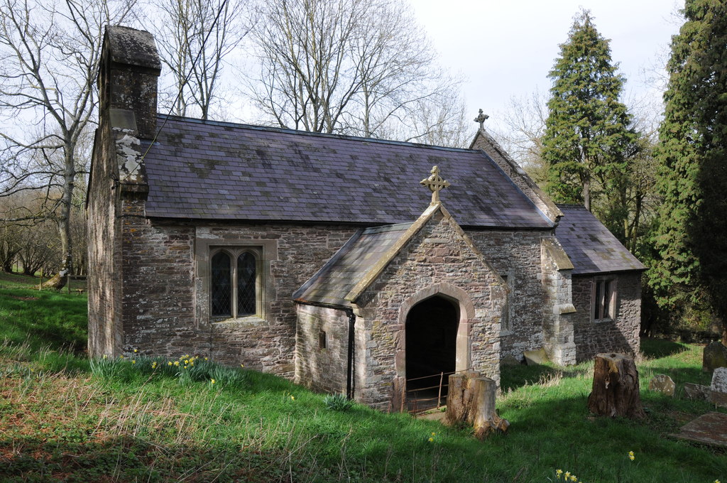
Llancillo Church

Llancillo Church (also spelled Llancilo) is a Grade II*-listed redundant church in Herefordshire, England, near the Welsh border at grid reference SO36622557...

Oldcastle, Monmouthshire

Oldcastle (Welsh: Yr Hencastell) is a small village in Monmouthshire, south east Wales. == Location == Oldcastle is located six miles north of Abergavenny...

River Honddu (Monmouthshire)

The River Honddu (Welsh: Afon Honddu) (pronounced hon-thee) is a river in the Black Mountains within the Brecon Beacons National Park, southeast Wales...

Clodock

Clodock Welsh: Clydog is a village in the west of Herefordshire, England. It lies on the River Monnow in the foothills of the Black Mountains, close to...

Pandy railway station

Pandy railway station was a railway station which served the Monmouthshire village of Pandy. It was located on the Welsh Marches Line between Hereford...

Trewyn House

Trewyn House, Llanvihangel Crucorney, Monmouthshire, Wales, is a country house dating from 1692. Its origins are older but the present building was constructed...

Nearby Amenities

Located within 500m of 51.925653,-2.955782
Building: yes
Lat/Long: 51.9232549/-2.9592985
Building: yes
Lat/Long: 51.9283553/-2.9527137
Crossway
Place: locality
Source: OS OpenData StreetView
Lat/Long: 51.9265727/-2.9560518
The data included in this document is from www.openstreetmap.org. The data is made available under ODbL.

Have you been to Crossway?

Leave your review of Crossway below (or comments, questions and feedback).