Crofton

Settlement in Lincolnshire North Kesteven

England

Crofton

Aswarby: aerial 2021 (1)
Aswarby: aerial 2021 (1) Credit: Chris

Crofton is a small village located in the district of North Kesteven, in the county of Lincolnshire, England. Situated approximately 4 miles southeast of the town of Sleaford, Crofton is home to a population of around 300 residents.

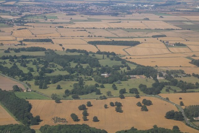
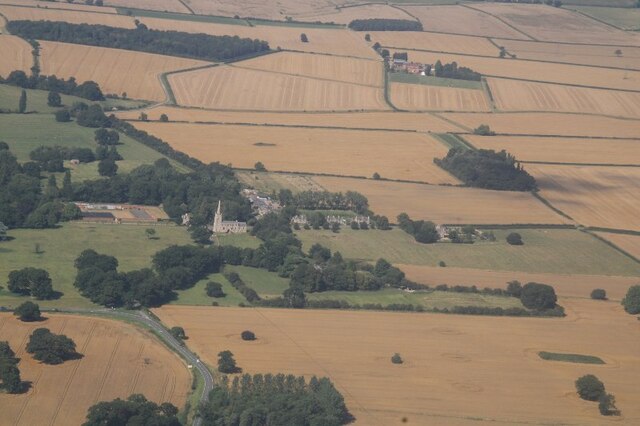
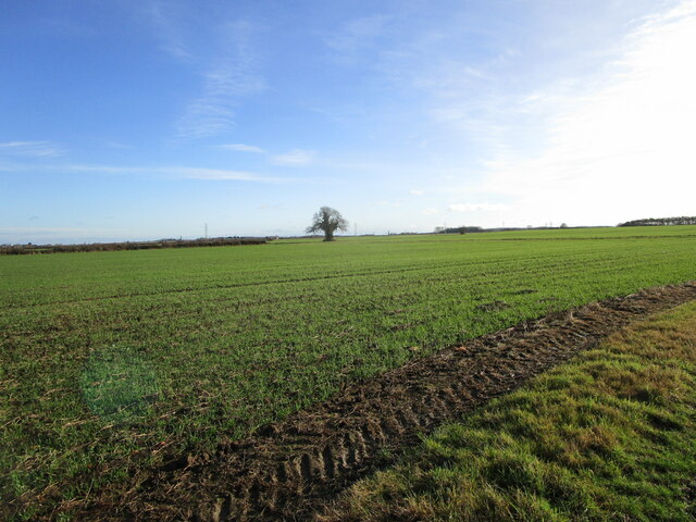
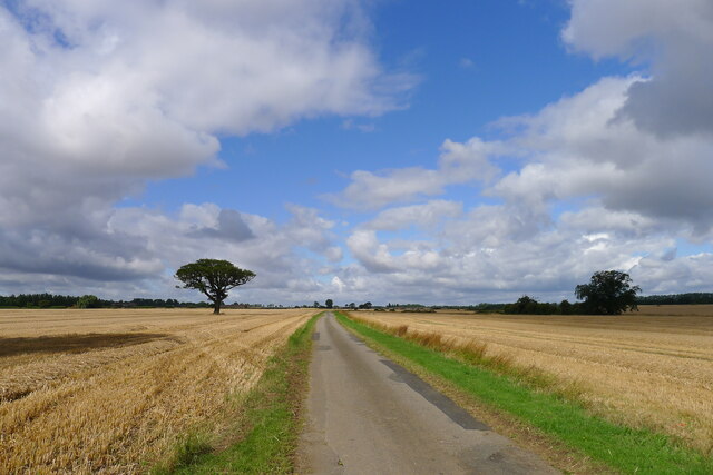
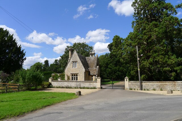
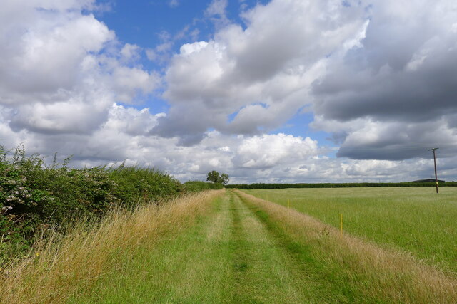
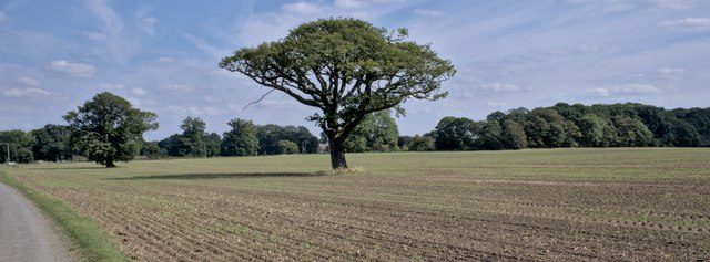
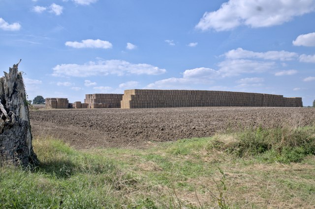
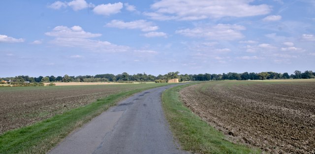
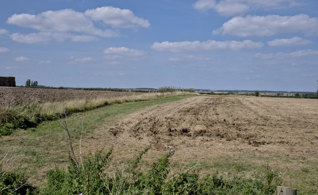
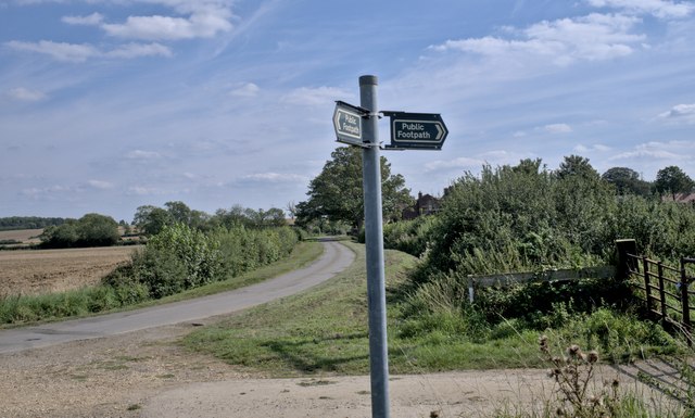
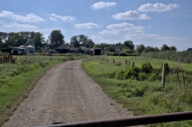
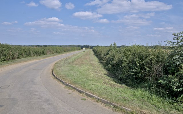
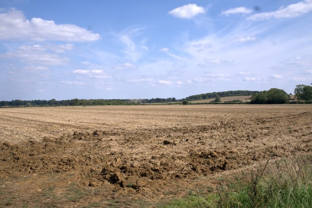
The village is set amidst the picturesque Lincolnshire countryside and boasts a tranquil and idyllic environment. Its rural location makes it a popular choice for those seeking a peaceful retreat away from the hustle and bustle of city life. The surrounding landscape is characterized by vast open fields, rolling hills, and charming country lanes, offering opportunities for scenic walks and outdoor activities.

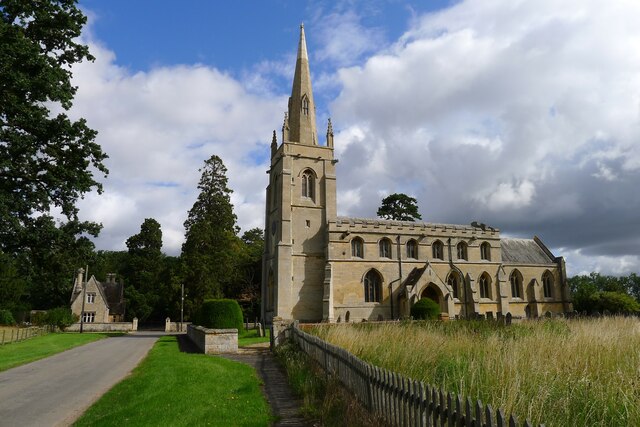
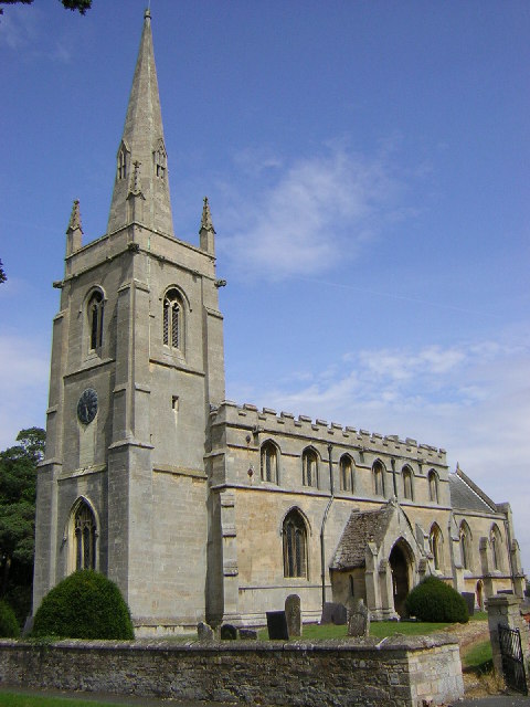
Crofton has a rich history, with evidence of settlements dating back to the Roman era. The village features several historical landmarks, including the Grade II listed All Saints Church, which dates back to the 13th century and is known for its distinctive architecture. Additionally, there are a number of traditional stone-built cottages and farmhouses that add to the village's charm.

Although Crofton is a small village, it benefits from essential amenities such as a primary school, a village hall, and a local pub, providing a sense of community for its residents. For more extensive services and facilities, the nearby town of Sleaford offers a wider range of amenities, including shops, supermarkets, and healthcare facilities.

In summary, Crofton is a quaint and peaceful village in Lincolnshire, offering a serene countryside setting and a close-knit community for its residents.

If you have any feedback on the listing, please let us know in the comments section below.

Crofton Images

Images are sourced within 2km of 52.948012/-0.43200236 or Grid Reference TF0540. Thanks to Geograph Open Source API. All images are credited.

Aswarby: aerial 2021 (1)
Aswarby: aerial 2021 (2)
Autumn sown crop near Aswarby
Bridleway to Aunsby Climbing up the north slope of the valley of South Beck
Bridleway to Aunsby
Climbing up the north slope of the valley of South Beck
The road to Aunsby In the Southern Lincolnshire Edge National Character Area <span class="nowrap"><a title="https://publications.naturalengland.org.uk/file/6753160429305856" rel="nofollow ugc noopener" href="https://publications.naturalengland.org.uk/file/6753160429305856">Link</a><img style="margin-left:2px;" alt="External link" title="External link - shift click to open in new window" src="https://s1.geograph.org.uk/img/external.png" width="10" height="10"/></span> . Wide open farming landscape on the dip slope of the Jurassic escarpment
The road to Aunsby
In the Southern Lincolnshire Edge National Character Area LinkExternal link . Wide open farming landscape on the dip slope of the Jurassic escarpment
Church of St Denys, Aswarby Listed Grade I. 12th century, with 14th and 15th century alterations and 19th century restoration.  George Bass, an early explorer of Australia after whom the Bass Straight is named, was born in the village and baptised in the church.
Church of St Denys, Aswarby
Listed Grade I. 12th century, with 14th and 15th century alterations and 19th century restoration. George Bass, an early explorer of Australia after whom the Bass Straight is named, was born in the village and baptised in the church.
South Lodge, Main Street, Aswarby Listed Grade II, mid 19th century. Lodge to the former Aswarby Hall.
South Lodge, Main Street, Aswarby
Listed Grade II, mid 19th century. Lodge to the former Aswarby Hall.
Field track east of Aswarby
Standard trees Two oaks, standing in a wheatfield.  This used to be parkland when I was younger, and these trees sheltered sheep and deer.
Standard trees
Two oaks, standing in a wheatfield. This used to be parkland when I was younger, and these trees sheltered sheep and deer.
Straw stack "All is safely gathered in".  I don't suppose this is all the straw in Lincolnshire, but there is rather a lot of it
Straw stack
"All is safely gathered in". I don't suppose this is all the straw in Lincolnshire, but there is rather a lot of it
The road to Aswarby
The road to Aswarby
A ploughed field A late 20th century windbreak of Poplar is next to the stream at the bottom of the field.
A ploughed field
A late 20th century windbreak of Poplar is next to the stream at the bottom of the field.
Footpath The field bank is the start of a footpath to Swarby.
Footpath
The field bank is the start of a footpath to Swarby.
Footpath sign The footpath from Swarby does not follow the road here, but crosses the adjacent farmland at an angle from here, to the church.
Footpath sign
The footpath from Swarby does not follow the road here, but crosses the adjacent farmland at an angle from here, to the church.
Where the footpath goes The track of the footpath goes straight through this field to the church by the far trees.
Where the footpath goes
The track of the footpath goes straight through this field to the church by the far trees.
Farmyard The working buildings of Manor Farm
Farmyard
The working buildings of Manor Farm
The lane The lane out of the village to the east
The lane
The lane out of the village to the east
A stubble field
A stubble field
Show me another place!

Crofton is located at Grid Ref: TF0540 (Lat: 52.948012, Lng: -0.43200236)

Division: Parts of Kesteven

Administrative County: Lincolnshire

District: North Kesteven

Police Authority: Lincolnshire

What 3 Words

///crispier.wording.bungalows. Near Sleaford, Lincolnshire

Nearby Locations

Crofton Hop Holt

Related Wikis

Aswarby and Swarby

Aswarby and Swarby is a civil parish in the North Kesteven district of Lincolnshire, England. Aswarby (pronounced locally as "as-r-bee") is the ecclesiastical...

Swarby

Swarby is a village and former civil parish in the North Kesteven district of Lincolnshire, England, approximately 3 miles (5 km) south-southwest of Sleaford...

Aswarby

Aswarby () is a village in the North Kesteven district of Lincolnshire, England. It is 3.5 miles (5.6 km) south of Sleaford and 750 yards (690 m) east...

Osbournby

Osbournby (locally pronounced Ozzenby or Ossenby) is a small village and civil parish in the North Kesteven district of Lincolnshire, England. The population...

Silk Willoughby

Silk Willoughby is a village and civil parish in the North Kesteven district of Lincolnshire, England. The population of the civil parish at the 2011 census...

Culverthorpe

Culverthorpe is a hamlet in the civil parish of Culverthorpe and Kelby, in the North Kesteven district of Lincolnshire, England. It lies 5 miles (8 km...

Culverthorpe Hall

Culverthorpe Hall, Culverthorpe, Lincolnshire, England is an 18th-century country house. It is a Grade I listed building. == History == In the 17th century...

Aswarby and Scredington railway station

Aswarby and Scredington railway station was a station close to Scredington, Lincolnshire on the Great Northern Railway Bourne and Sleaford railway. It...

Nearby Amenities

Located within 500m of 52.948012,-0.43200236
Crofton Farm
Place: farm
Source: Bing
Lat/Long: 52.9484571/-0.4321752
Crofton
Place: hamlet
Source: Bing
Lat/Long: 52.9477228/-0.4333425
Ringham's Farm
Place: farm
Source: Bing
Lat/Long: 52.9482709/-0.431025
North Lodge
Place: isolated_dwelling
Source: Bing
Lat/Long: 52.9508114/-0.428152
The data included in this document is from www.openstreetmap.org. The data is made available under ODbL.

Have you been to Crofton?

Leave your review of Crofton below (or comments, questions and feedback).