Crewe Green

Settlement in Cheshire

England

Crewe Green

Sydney Housing estate beside the Crewe-Manchester railway.  Site of a triangulation pillar destroyed in 1956. A possible clue to the age of the houses.
Sydney Credit: Richard Webb

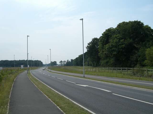
Crewe Green is a small village located in the county of Cheshire, England. Situated approximately 3 miles southeast of the town of Crewe, it is a rural and picturesque settlement with a population of around 800 residents. The village is surrounded by lush green fields, offering a peaceful and idyllic setting.

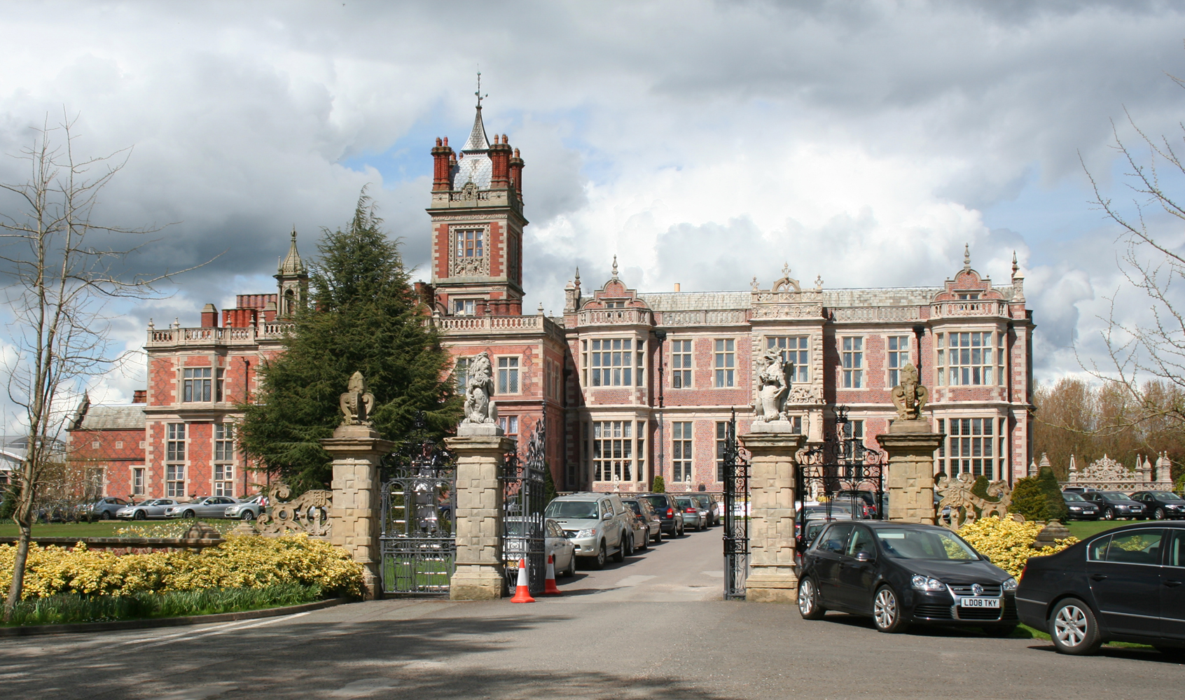
Historically, Crewe Green was part of the ancient parish of Wybunbury and was primarily an agricultural community. Today, it still retains its rural charm, with several farms and open fields surrounding the village. The architecture is a mix of traditional Cheshire brick cottages and more modern houses, providing a diverse range of housing options.

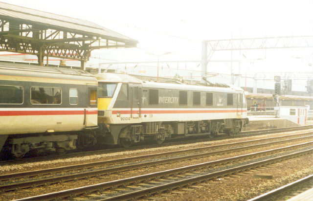
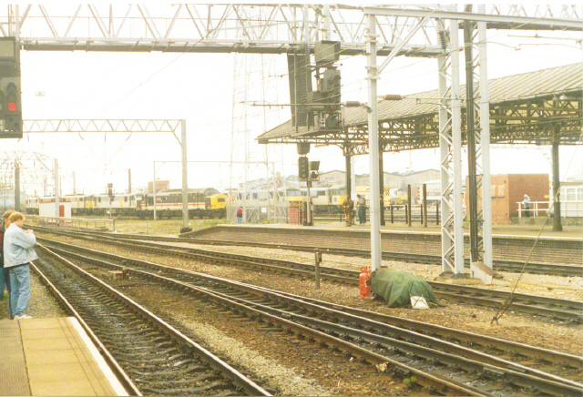
Despite its small size, Crewe Green is conveniently located near major transportation routes. The M6 motorway passes close by, providing easy access to nearby towns and cities such as Manchester and Birmingham. Crewe railway station, a major hub for rail transport, is also just a short distance away, connecting the village to various destinations across the country.

The village itself has limited amenities, with a small convenience store and a pub being the main facilities available. However, residents have easy access to the nearby town of Crewe, which offers a wider range of amenities including shops, restaurants, and leisure facilities.

Crewe Green is surrounded by beautiful countryside, making it an ideal location for nature enthusiasts and outdoor activities. The nearby Wybunbury Moss Nature Reserve is a popular spot for birdwatching and walking, offering a tranquil escape from the busy urban lifestyle.

Overall, Crewe Green provides a peaceful and rural setting within close proximity to larger towns and cities, making it an attractive place to live for those seeking a balance between countryside living and urban convenience.

If you have any feedback on the listing, please let us know in the comments section below.
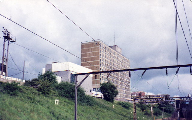
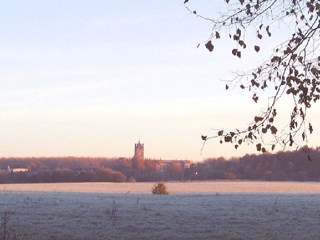
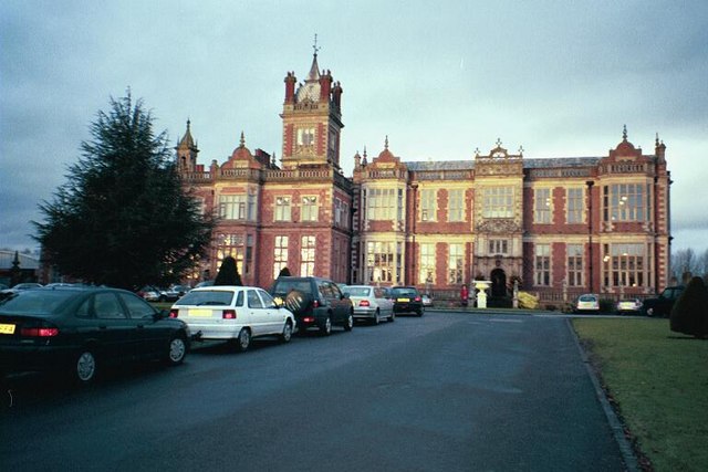
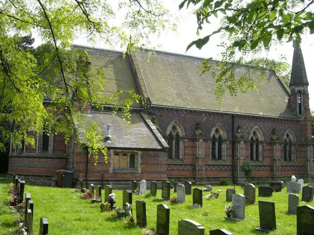
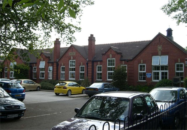
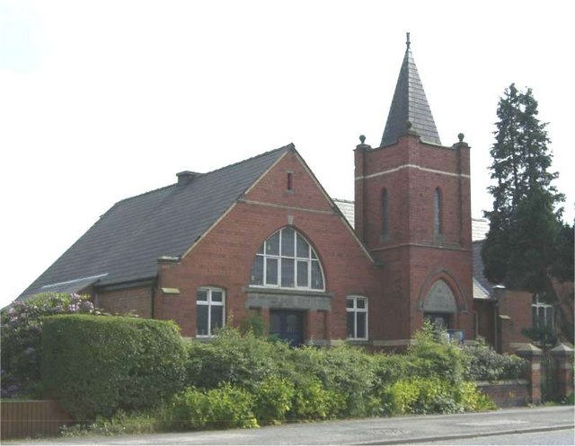
Crewe Green Images

Images are sourced within 2km of 53.094854/-2.4105319 or Grid Reference SJ7255. Thanks to Geograph Open Source API. All images are credited.

Sydney Housing estate beside the Crewe-Manchester railway.  Site of a triangulation pillar destroyed in 1956. A possible clue to the age of the houses.
Sydney
Housing estate beside the Crewe-Manchester railway. Site of a triangulation pillar destroyed in 1956. A possible clue to the age of the houses.
Crewe Station Carpark
Rail House, Crewe Built by British Rail to house operating and other departments of the London Midland Region. Now home to privatised railway and other companies. This view is from the freight lines avoiding Crewe station, during the remodelling of the station in 1985.
Rail House, Crewe
Built by British Rail to house operating and other departments of the London Midland Region. Now home to privatised railway and other companies. This view is from the freight lines avoiding Crewe station, during the remodelling of the station in 1985.
Crewe Hall Taken from Weston Road looking towards <a href="https://www.geograph.org.uk/gridref/SJ7353">SJ7353</a>.
Crewe Hall
Taken from Weston Road looking towards SJ7353.
Class 25 loco, North end of Crewe Station 25322 seen just south of the junction for the Manchester line from Crewe.
Class 25 loco, North end of Crewe Station
25322 seen just south of the junction for the Manchester line from Crewe.
Crewe Gates Industrial Estate Rooftop view looking across to Rail House by the station and Crewe Alex ground left of centre
Crewe Gates Industrial Estate
Rooftop view looking across to Rail House by the station and Crewe Alex ground left of centre
Crewe. The Railway Station. Change here for Holyhead and North Wales.
Crewe.
The Railway Station. Change here for Holyhead and North Wales.
Crewe. Even in today's era of electric and diesel traction, it is still, obviously, one of the Meccas for the Rail-fan - including this one.
Crewe.
Even in today's era of electric and diesel traction, it is still, obviously, one of the Meccas for the Rail-fan - including this one.
Crewe. It's easy to see that technology has even caught up with Train-spotters - what with videos. digital cameras, scanners, and the like.
Crewe.
It's easy to see that technology has even caught up with Train-spotters - what with videos. digital cameras, scanners, and the like.
Crewe. The platforms of the Railway Station.
Crewe.
The platforms of the Railway Station.
Gresty Road, Crewe Crewe Alexandra FC's ground. The main (south) stand viewed from the north.
Gresty Road, Crewe
Crewe Alexandra FC's ground. The main (south) stand viewed from the north.
Gresty Road, Crewe The view from the north eastern corner of the ground after Crewe Alexandra's defeat by Reading.
Gresty Road, Crewe
The view from the north eastern corner of the ground after Crewe Alexandra's defeat by Reading.
Crewe Hall Hotel
Crewe Hall Hotel
St Michael and All Angels, Crewe Green
Haslington Primary School Built in 1913 as Haslington Council School.
Haslington Primary School
Built in 1913 as Haslington Council School.
Wesleyan Methodist Church, Haslington Built in 1909
Wesleyan Methodist Church, Haslington
Built in 1909
A5020 Crewe Green Link Road This Link road allows north/south through traffic to bypass some of the busiest parts Crewe. In the distance on the left is part of Rookery Wood. To the right of the road is Quaker's Coppice.
A5020 Crewe Green Link Road
This Link road allows north/south through traffic to bypass some of the busiest parts Crewe. In the distance on the left is part of Rookery Wood. To the right of the road is Quaker's Coppice.
The Crewe Arms Hotel Viewed from the station. The hotel was built in the 1830's and opened at the same time as the railway station.
The Crewe Arms Hotel
Viewed from the station. The hotel was built in the 1830's and opened at the same time as the railway station.
Show me another place!

Crewe Green is located at Grid Ref: SJ7255 (Lat: 53.094854, Lng: -2.4105319)

Unitary Authority: Cheshire East

Police Authority: Cheshire

What 3 Words

///slick.colleague.elder. Near Crewe, Cheshire

Nearby Locations

Crewe Green

Related Wikis

St Michael and All Angels Church, Crewe Green

St Michael and All Angels Church is in the village of Crewe Green, Cheshire, England. The church is recorded in the National Heritage List for England...

Crewe Green

Crewe Green is a small village and former civil parish, now in the parish of Weston and Crewe Green, in the unitary authority area of Cheshire East and...

Haslington

Haslington is a village and civil parish in the unitary authority of Cheshire East and the ceremonial county of Cheshire, England. It lies about 2 miles...

St Matthew's Church, Haslington

St Matthew's Church is in the village of Haslington, Cheshire, England. The church is recorded in the National Heritage List for England as a designated...

Nearby Amenities

Located within 500m of 53.094854,-2.4105319
Crossing
Button Operated: yes
Crossing: traffic_signals
Crossing Island: no
Crossing Markings: dots
Crossing Ref: toucan
Kerb: lowered
Tactile Paving: yes
Lat/Long: 53.0951091/-2.4134507
Bus Stop
Crewe Green, Crewe Road / Narrow Lane
Bench: yes
Bin: yes
Bus: yes
Lit: yes
Naptan AtcoCode: 0600CR014
Naptan Bearing: W
Naptan CommonName: Narrow Lane
Naptan Crossing: Narrow Lane
Naptan Indicator: nr
Naptan Landmark: Narrow Lane
Naptan LocalityName: Crewe Green
Naptan NaptanCode: chejatw
Naptan PlusbusZoneRef: CREWE
Naptan ShortCommonName: Narrow Lane
Naptan Street: Crewe Road
Naptan Verified: no
Network: Cheshire East Council
Operator: Ansa Transport
Public Transport: platform
Shelter: yes
Source: naptan_import
Tactile Paving: no
Lat/Long: 53.0947978/-2.4116738
Bus Stop
Crewe Green, Crewe Road / Narrow Lane
Bench: yes
Bin: no
Bus: yes
Lit: yes
Naptan AtcoCode: 0600CR367
Naptan Bearing: E
Naptan CommonName: Narrow Lane
Naptan Crossing: Narrow Lane
Naptan Indicator: opp
Naptan Landmark: Church Cottage
Naptan LocalityName: Crewe Green
Naptan NaptanCode: chejtgw
Naptan PlusbusZoneRef: CREWE
Naptan ShortCommonName: Narrow Lane
Naptan Street: Crewe Road
Naptan Verified: no
Network: Cheshire East Council
Operator: Ansa Transport
Public Transport: platform
Shelter: yes
Source: naptan_import
Tactile Paving: no
Lat/Long: 53.0952638/-2.409483
Bus Stop
Crewe, Crewe Green Road / Springfield School
Alt Name: Crewe, Crewe Green Road / Booth Hall MMU
Bus: yes
Naptan AltCommonName: Booth Hall MMU
Naptan AltLandmark: Booth Hall MMU
Naptan AltShortCommonName: Booth Hall MMU
Naptan AtcoCode: 0600CR698
Naptan Bearing: NE
Naptan CommonName: Springfield School
Naptan Indicator: o/s
Naptan Landmark: Springfield School
Naptan LocalityName: Crewe
Naptan NaptanCode: chepwpt
Naptan PlusbusZoneRef: CREWE
Naptan ShortCommonName: Springfield School
Naptan Street: Crewe Green Road
Naptan Verified: no
Network: Cheshire East Council
Operator: Ansa Transport
Public Transport: platform
Source: naptan_import
Lat/Long: 53.0945908/-2.4168255
Bus Stop
Crewe, Crewe Green Road / Buckingham University
Alt Name: Booth Hall MMU
Bus: yes
Naptan AltCommonName: Booth Hall MMU
Naptan AltLandmark: Booth Hall MMU
Naptan AltShortCommonName: Booth Hall MMU
Naptan AtcoCode: 0600CR699
Naptan Bearing: SW
Naptan CommonName: Buckingham University
Naptan Indicator: o/s
Naptan Landmark: Buckingham University
Naptan LocalityName: Crewe
Naptan NaptanCode: chepwpw
Naptan PlusbusZoneRef: CREWE
Naptan ShortCommonName: Buckingham University
Naptan Street: Crewe Green Road
Naptan Verified: no
Network: Cheshire East Council
Operator: Ansa Transport
Public Transport: platform
Source: naptan_import
Lat/Long: 53.0943478/-2.4172445
Barrier: bollard
Bicycle: yes
Foot: yes
Motor Vehicle: no
Lat/Long: 53.0913291/-2.4119982
Crossing
Crossing: traffic_signals
Crossing Island: no
Crossing Markings: dots
Crossing Ref: toucan
Kerb: lowered
Tactile Paving: yes
Lat/Long: 53.0964701/-2.4134174
Crossing
Button Operated: yes
Crossing: traffic_signals
Crossing Island: no
Crossing Markings: dots
Crossing Ref: toucan
Kerb: lowered
Tactile Paving: yes
Lat/Long: 53.0948205/-2.4157829
Crossing
Crossing: traffic_signals
Crossing Island: no
Crossing Markings: dots
Crossing Ref: toucan
Kerb: lowered
Tactile Paving: yes
Lat/Long: 53.0941286/-2.4140297
Crossing
Crossing: unmarked
Crossing Markings: no
Kerb: lowered
Tactile Paving: yes
Lat/Long: 53.0948281/-2.4160818
Crossing
Crossing: uncontrolled
Kerb: lowered
Tactile Paving: yes
Lat/Long: 53.0908274/-2.4114464
Crossing
Crossing: uncontrolled
Kerb: lowered
Tactile Paving: yes
Lat/Long: 53.091301/-2.4117656
Crossing
Crossing: uncontrolled
Kerb: lowered
Tactile Paving: yes
Lat/Long: 53.0933993/-2.4134331
CSI Media
Addr City: Crewe
Addr Housenumber: Unit 4
Addr Postcode: CW1 6ZQ
Addr Street: Mallard Court
Office: it
Opening Hours: Mo-Fr 08:30-17:30
Lat/Long: 53.0906595/-2.4121569
Bus Stop
Crewe, Electra Way / Business Park
Bus: yes
Naptan AtcoCode: 0600CR19219
Naptan Bearing: W
Naptan CommonName: Business Park
Naptan Crossing: Mallard Way
Naptan Indicator: adj
Naptan Landmark: Business Park
Naptan LocalityName: Crewe
Naptan NaptanCode: cheadtwt
Naptan PlusbusZoneRef: CREWE
Naptan ShortCommonName: Crewe Business Park
Naptan Street: Electra Way
Network: Cheshire East Council
Operator: Ansa Transport
Public Transport: platform
Shelter: no
Source: naptan_import
Lat/Long: 53.0911288/-2.4142986
Crossing
Crossing: uncontrolled
Crossing Island: no
Crossing Markings: zebra
Crossing Ref: zebra
Kerb: lowered
Tactile Paving: yes
Lat/Long: 53.0971108/-2.4154035
Crossing
Button Operated: yes
Crossing: traffic_signals
Crossing Island: no
Crossing Markings: dots
Crossing Ref: toucan
Kerb: lowered
Tactile Paving: yes
Lat/Long: 53.096195/-2.4161033
Traffic Signals
Traffic Signals: crossing
Lat/Long: 53.0948233/-2.4157045
Traffic Signals
Traffic Signals: crossing
Traffic Signals Direction: backward
Lat/Long: 53.0948048/-2.4158527
Traffic Signals
Traffic Signals: crossing
Lat/Long: 53.0951219/-2.4135219
Traffic Signals
Traffic Signals: crossing
Traffic Signals Direction: forward
Lat/Long: 53.0951068/-2.4133809
Give Way
Direction: forward
Lat/Long: 53.0948407/-2.4105395
Traffic Signals
Traffic Signals: crossing
Traffic Signals Direction: forward
Lat/Long: 53.0962038/-2.4161804
Traffic Signals
Traffic Signals: crossing
Traffic Signals Direction: backward
Lat/Long: 53.0961834/-2.4160318
Traffic Signals
Traffic Signals: crossing
Traffic Signals Direction: backward
Lat/Long: 53.0965076/-2.4133798
Traffic Signals
Traffic Signals: crossing
Traffic Signals Direction: forward
Lat/Long: 53.09643/-2.4134581
Traffic Signals
Traffic Signals: crossing
Lat/Long: 53.094187/-2.4140249
Traffic Signals
Traffic Signals: crossing
Traffic Signals Direction: forward
Lat/Long: 53.0940967/-2.4140179
Bus Stop
Sydney, Sydney Road / Stephenson Drive
Bus: yes
Naptan AtcoCode: 0600CR19305
Naptan Bearing: N
Naptan BusStopType: CUS
Naptan CommonName: Stephenson Drive
Naptan Crossing: Stephenson Drive
Naptan Indicator: cnr
Naptan Landmark: Stephenson Drive
Naptan LocalityName: Sydney
Naptan NaptanCode: cheagjtm
Naptan ShortCommonName: Stephenson Drive
Naptan Street: Sydney Road
Network: Cheshire East Council
Operator: Ansa Transport
Public Transport: platform
Source: naptan_import
Lat/Long: 53.097911/-2.4158633
Bus Stop
Sydney, Sydney Road / Stephenson Drive
Bus: yes
Naptan AtcoCode: 0600CR19306
Naptan Bearing: S
Naptan BusStopType: CUS
Naptan CommonName: Stephenson Drive
Naptan Crossing: Stephenson Drive
Naptan Indicator: opp
Naptan Landmark: Stephenson Drive
Naptan LocalityName: Sydney
Naptan NaptanCode: cheagjtp
Naptan ShortCommonName: Stephenson Drive
Naptan Street: Sydney Road
Network: Cheshire East Council
Operator: Ansa Transport
Public Transport: platform
Source: naptan_import
Lat/Long: 53.097938/-2.4156693
Crossing
Crossing: unmarked
Crossing Island: no
Crossing Markings: no
Tactile Paving: yes
Lat/Long: 53.0945052/-2.4169306
The data included in this document is from www.openstreetmap.org. The data is made available under ODbL.

Have you been to Crewe Green?

Leave your review of Crewe Green below (or comments, questions and feedback).