Crawley
Settlement in Gloucestershire Stroud
England
Crawley
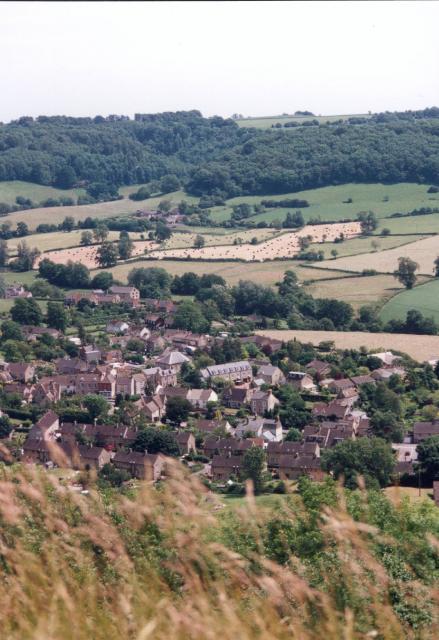
Crawley is a small village located in the county of Gloucestershire, England. Situated approximately 5 miles southwest of the town of Witney, it is nestled in the picturesque Cotswolds countryside. The village is surrounded by rolling hills, lush green fields, and charming rural landscapes, making it an idyllic retreat for nature lovers and those seeking a peaceful getaway.
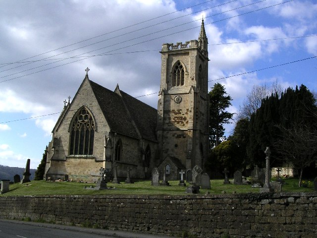
With a population of around 300 residents, Crawley maintains its rural character and traditional charm. The village is home to a mix of historic stone cottages and more modern houses, blending seamlessly into the rural landscape. The local church, St. Peter's, stands as a focal point, dating back to the 12th century and showcasing stunning architectural features.
Although small in size, Crawley offers a tight-knit community spirit. The village has a local pub, The Hare and Hounds, which serves as a gathering place for residents and visitors alike. Additionally, there are several community events throughout the year, including fairs, festivals, and charity fundraisers, which contribute to the vibrant social atmosphere.
For those seeking outdoor activities, Crawley is surrounded by numerous walking and cycling routes, allowing visitors to explore the scenic Cotswolds countryside. The nearby River Windrush offers opportunities for fishing and boating, while the Cotswold Wildlife Park is just a short drive away, providing an opportunity to observe a variety of animals in a natural setting.
Crawley truly embodies the quintessential English village, offering a tranquil and picturesque retreat for residents and visitors seeking a slice of rural life in the heart of Gloucestershire.
If you have any feedback on the listing, please let us know in the comments section below.
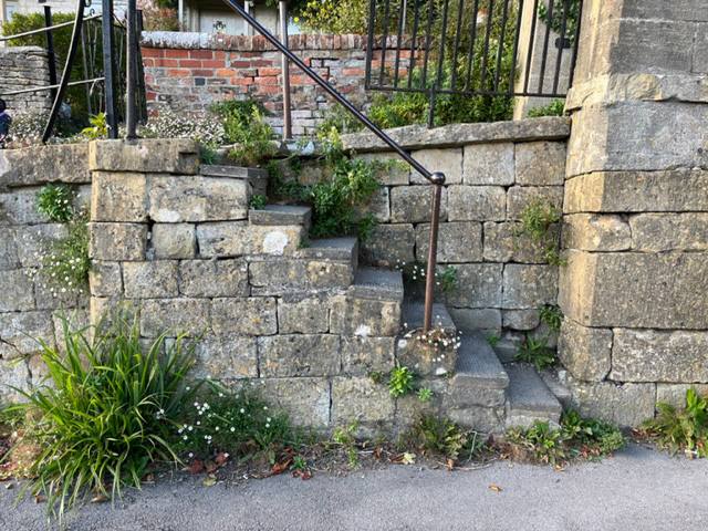
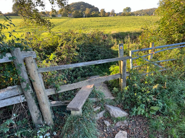
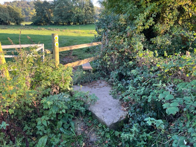
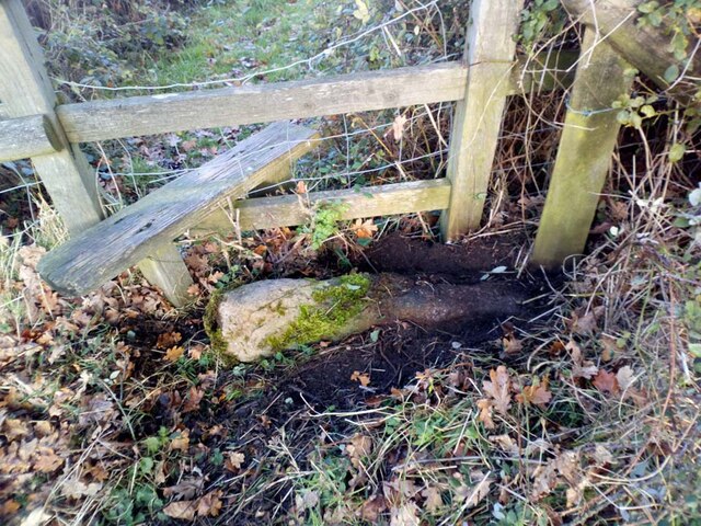
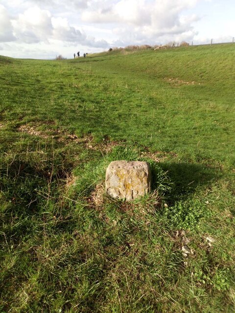
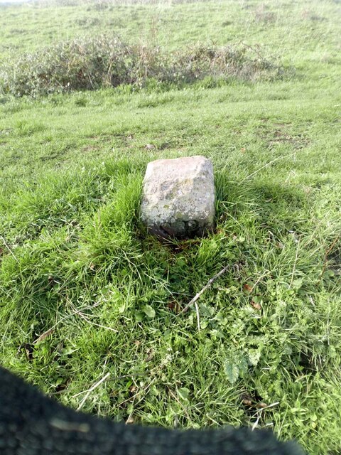
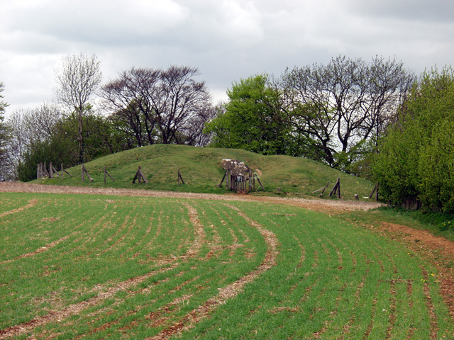
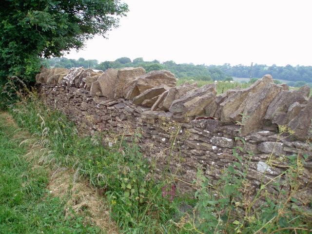
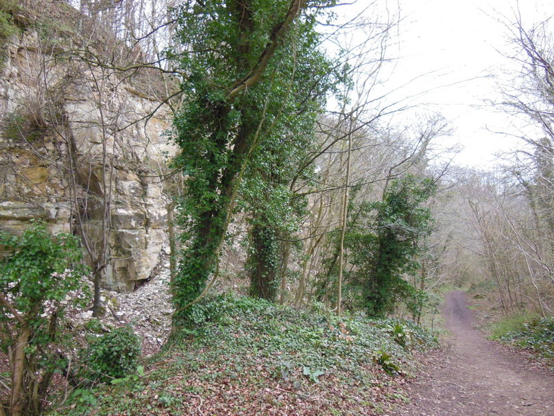
Crawley Images
Images are sourced within 2km of 51.688983/-2.3040872 or Grid Reference ST7998. Thanks to Geograph Open Source API. All images are credited.

Crawley is located at Grid Ref: ST7998 (Lat: 51.688983, Lng: -2.3040872)
Administrative County: Gloucestershire
District: Stroud
Police Authority: Gloucestershire
What 3 Words
///pheasants.comment.cling. Near Dursley, Gloucestershire
Related Wikis

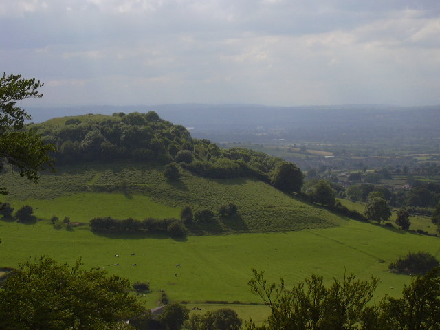
Uley Bury
Uley Bury is the long, flat-topped hill just outside Uley, Gloucestershire, England. It is an impressive multi-vallate, scarp-edge Iron Age hill fort dating...

Uley
Uley is a village and civil parish in the county of Gloucestershire, England. The parish includes the hamlets of Elcombe and Shadwell and Bencombe, all...
Coaley Wood Quarries
Coaley Wood Quarries (grid reference ST786996) is a 4.85-hectare (12.0-acre) geological Site of Special Scientific Interest in Gloucestershire, notified...

Owlpen
Owlpen is a small village and civil parish in the Stroud district of Gloucestershire, England, set in a valley in the Cotswold hills. It is about one mile...

Uley Long Barrow
Uley Long Barrow, also known locally as Hetty Pegler's Tump, is a Neolithic burial mound, near the village of Uley, Gloucestershire, England. == Details... ==
Owlpen Manor
Owlpen Manor is a Tudor Grade I listed manor house of the Mander family, situated in the village of Owlpen in the Stroud district in Gloucestershire, England...

Stouts Hill
Stouts Hill is an 18th-Century Gothic revival country house situated in the Cotswolds, just outside the village of Uley. Although there are records of...
Bencombe
Bencombe is a hamlet made up of 9 mainly traditional stone cottages/houses in the parish of Uley and just south west of Owlpen on the edge of the Cotswolds...
Related Videos
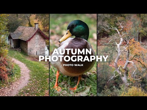
Autumn Photo Walk in the Cotswolds: Nikon D750
Join me on a relaxed Autumn Photo walk in the Cotswolds, at Woodchester Manson Park. I capture images from Landscape to ...

Cotswold Way | Virtual Run / Walk with Music | Treadmill Workout Scenery | Cam Peak & Longdown
Scenic countryside virtual run / gimbal walking tour with natural sounds (ASMR) along the Cotswold Way, up and around Cam ...

Smallpox Hill | Virtual Run / Walk ASMR | Treadmill Workout Scenery | The Cotswolds
Scenic countryside virtual run / gimbal walking tour with natural sounds (ASMR) around a snowy and wintery Downham Hill.

Coaley Woods & Caves 1 km | Virtual Run / Walk ASMR | Treadmill Workout Scenery | The Cotswolds
Scenic wintery and snowy countryside footpath trail (the Cotswold Way and Woodland Trust) virtual run / gimbal walking tour with ...
Nearby Amenities
Located within 500m of 51.688983,-2.3040872Have you been to Crawley?
Leave your review of Crawley below (or comments, questions and feedback).