Cranes
Settlement in Essex Basildon
England
Cranes
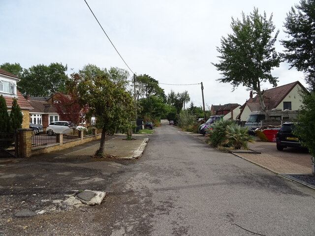
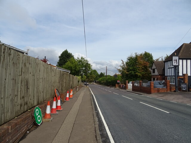
Cranes is a village located in the Tendring district of Essex, England. Situated near the town of Colchester, it is known for its rural charm and picturesque surroundings. With a population of around 500 residents, Cranes offers a peaceful and close-knit community atmosphere.
The village is home to several historic buildings, including St. Mary's Church, which dates back to the 12th century. This beautiful church features a striking tower and stained glass windows, attracting visitors interested in architectural and historical heritage. Cranes also boasts a number of traditional thatched cottages, adding to its quaint and idyllic appeal.
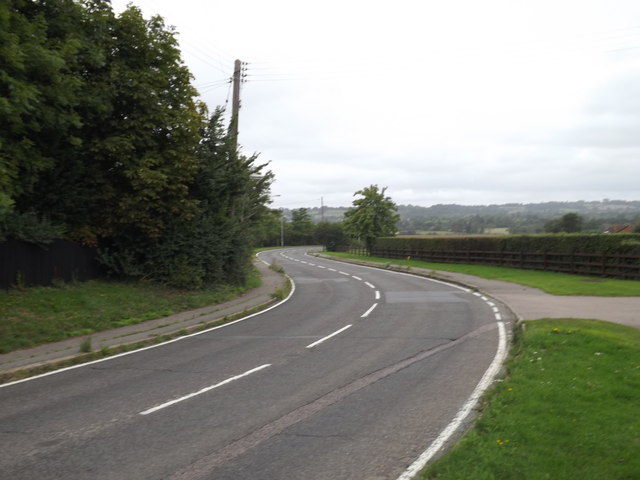
Nature enthusiasts will find plenty to explore in the surrounding countryside. The area is characterized by rolling fields, meandering streams, and woodlands, making it a haven for walking, cycling, and wildlife spotting. Cranes is particularly renowned for its birdwatching opportunities, with the nearby Abberton Reservoir attracting a variety of species.
Despite its small size, Cranes benefits from a strong sense of community. The village hosts various events and activities throughout the year, including a summer fete and a Christmas market. Additionally, it has a well-regarded primary school, ensuring educational opportunities for local families.
Although Cranes may not offer extensive amenities, its close proximity to larger towns and cities provides residents with easy access to a wider range of services and facilities. Overall, Cranes is a charming and peaceful village, perfect for those seeking a rural retreat in the heart of Essex.
If you have any feedback on the listing, please let us know in the comments section below.
Cranes Images
Images are sourced within 2km of 51.588843/0.49091151 or Grid Reference TQ7290. Thanks to Geograph Open Source API. All images are credited.


Cranes is located at Grid Ref: TQ7290 (Lat: 51.588843, Lng: 0.49091151)
Administrative County: Essex
District: Basildon
Police Authority: Essex
What 3 Words
///rate.faced.glad. Near Pitsea, Essex
Nearby Locations
Related Wikis

Basildon United F.C.
Basildon United Football Club is a football club based in Basildon, Essex. They are currently members of the Isthmian League North Division and play at...
Basildon
Basildon ( BAZ-il-dən) is the largest town in the borough of Basildon, within the county of Essex, England. It had a recorded population of 115,955 at...

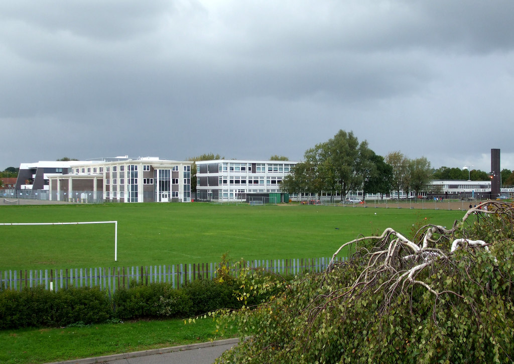
Fryerns Comprehensive School
Fryerns Comprehensive School , also known as Fryerns Community School, was a mixed intake secondary school in Basildon, Essex that opened in 1956. The...
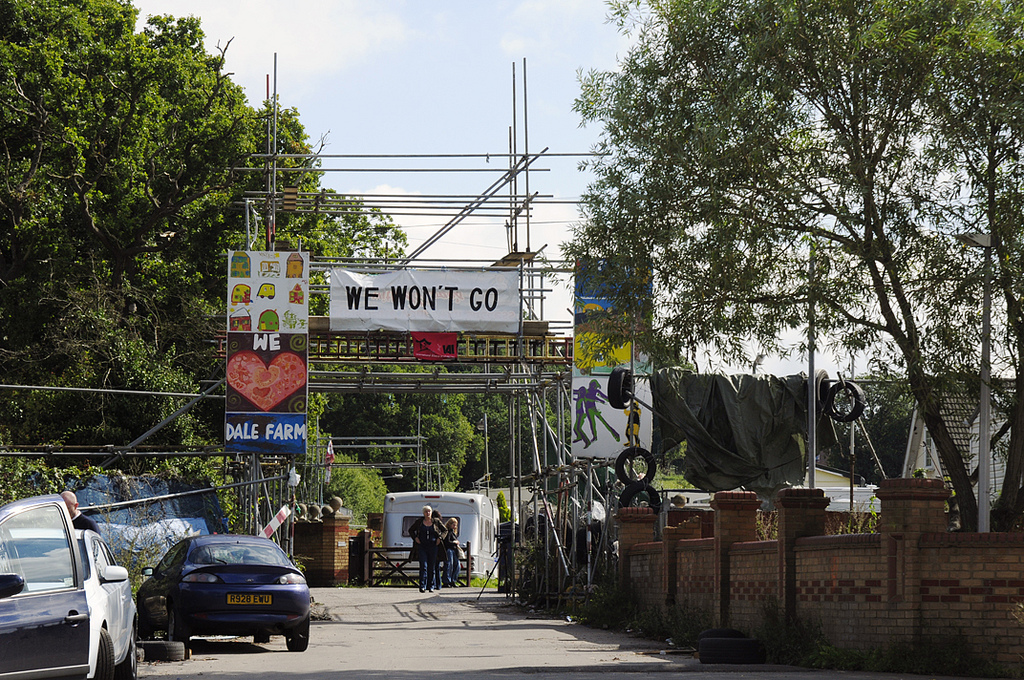
Dale Farm
Dale Farm is a plot of land situated on Oak Lane in Crays Hill, Essex, United Kingdom. Until October 2011, it was the site of one of the largest Traveller...

Northlands Park, Basildon
Northlands Park is a park in Basildon, Essex, England. == History of the park == Basildon Northlands Park was created by Basildon Development Corporation...
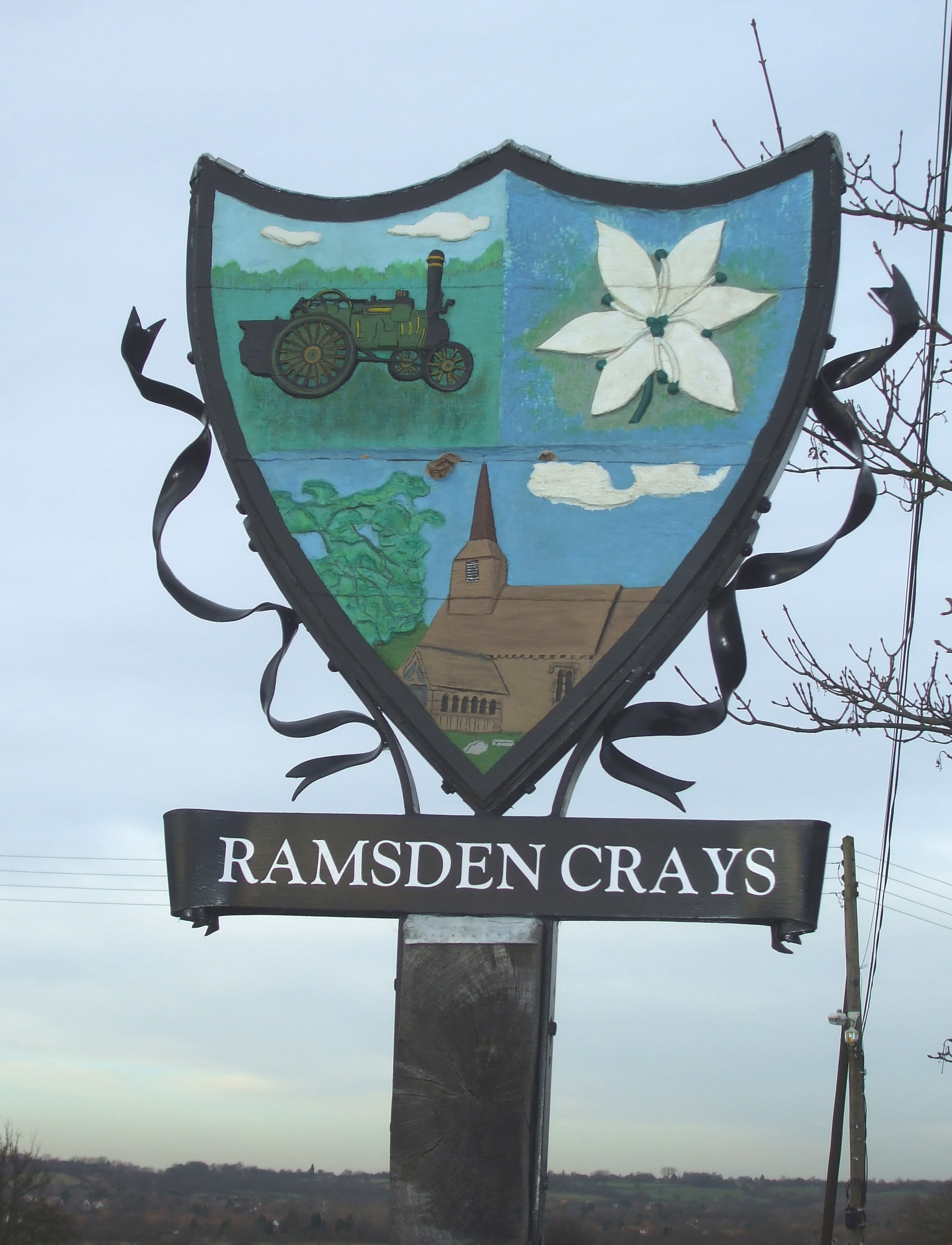
Ramsden Crays
Ramsden Crays is a civil parish in the Basildon district of Essex, England. It lies north of Basildon and west of Wickford. The parish includes the village...
Barstable School
The Barstable School was a mixed intake secondary school in Basildon, Essex. It closed in 2009 to become a founding member of the Basildon Academies....
De La Salle School, Basildon
De La Salle School is a Roman Catholic voluntary aided school located in Basildon, Essex for boys and girls aged 11 to 16, in the Trusteeship of the La...
Nearby Amenities
Located within 500m of 51.588843,0.49091151Have you been to Cranes?
Leave your review of Cranes below (or comments, questions and feedback).