Craigie
Settlement in Ayrshire
Scotland
Craigie

The requested URL returned error: 429 Too Many Requests
If you have any feedback on the listing, please let us know in the comments section below.
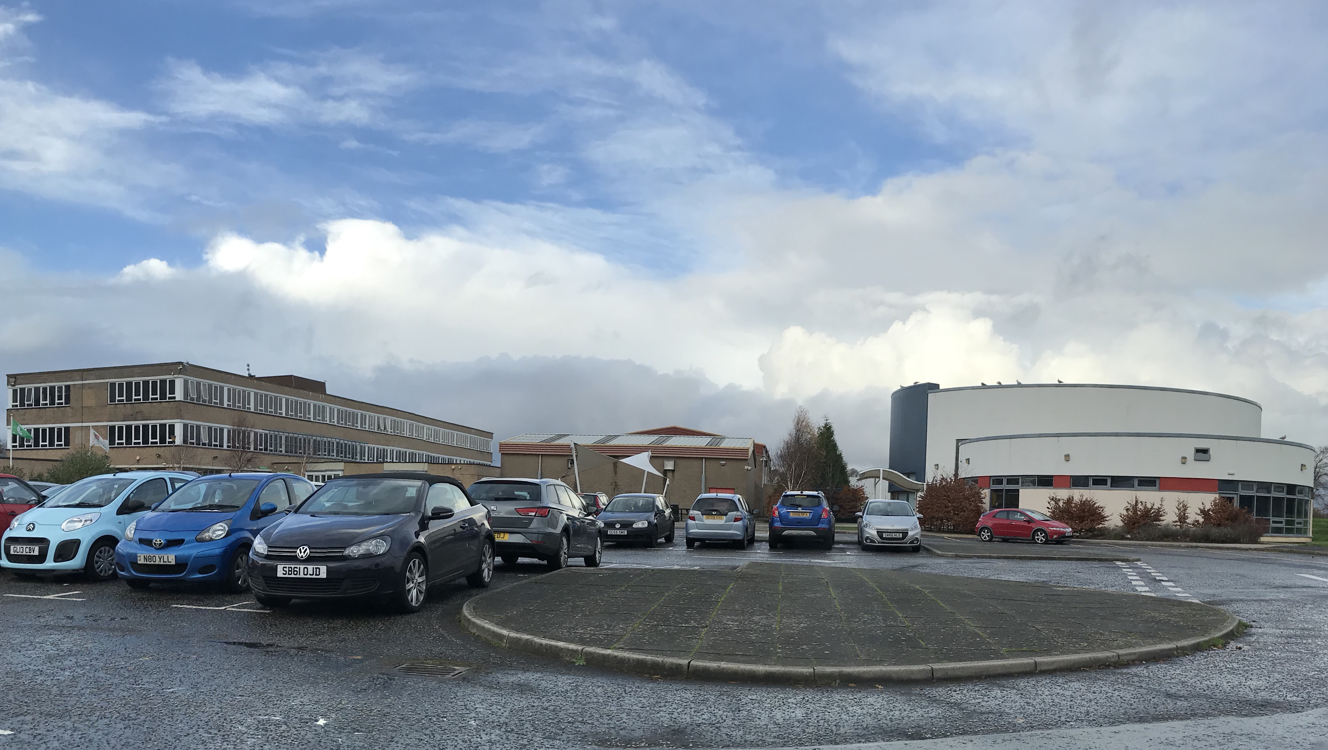
Craigie Images
Images are sourced within 2km of 55.461919/-4.60806 or Grid Reference NS3521. Thanks to Geograph Open Source API. All images are credited.


Craigie is located at Grid Ref: NS3521 (Lat: 55.461919, Lng: -4.60806)
Unitary Authority: South Ayrshire
Police Authority: Ayrshire
What 3 Words
///cycle.circle.lions. Near Ayr, South Ayrshire
Nearby Locations
Related Wikis
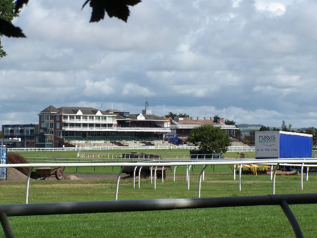
Ayr Racecourse
Ayr Racecourse at Whitletts Road, Ayr, Scotland, was opened in 1907. There are courses for flat and for National Hunt racing. == History == Horse racing...
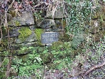
Wallace's Heel Well
Wallace's Heel Well or Wallace's Heel is located beside the River Ayr (NS35502122) near the old Holmston lime kiln, Ayr, Scotland. It is a petrosomatoglyph...
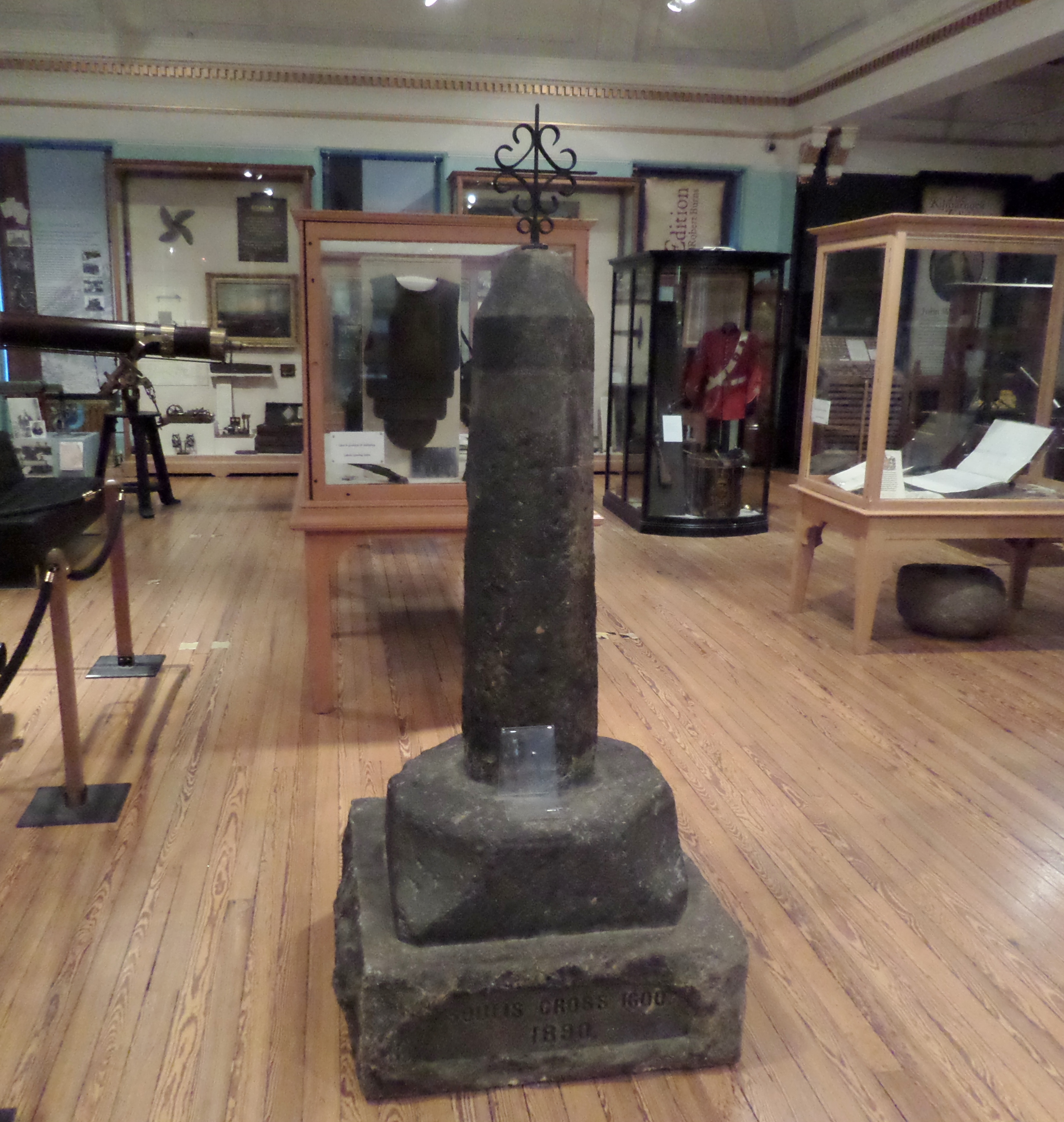
Soulis Cross
The ancient Soulis Cross was originally located in the centre of Soulis Street (NS43013821) near the Kilmarnock Water in Kilmarnock, East Ayrshire, Scotland...
Kyle Academy
Kyle Academy (Scottish Gaelic: Acadamaidh a' Chaoil) is a non-denominational secondary school in Ayr, serving the south east of Ayr in South Ayrshire....
Nearby Amenities
Located within 500m of 55.461919,-4.60806Have you been to Craigie?
Leave your review of Craigie below (or comments, questions and feedback).