Craigerne Cottage

Settlement in Peeblesshire

Scotland

Craigerne Cottage

Replanting felled area, Bonnington Woodland here was felled last year and now replanting is taking place - compare with <a href="https://www.geograph.org.uk/photo/7529238">NT2539 : Felled plantation near The Cut, Peebles</a>.
Replanting felled area, Bonnington Credit: Jim Barton

Craigerne Cottage is a charming and idyllic retreat located in the picturesque countryside of Peeblesshire, Scotland. Situated in the heart of the Scottish Borders, this cottage offers a perfect blend of tranquility and convenience.

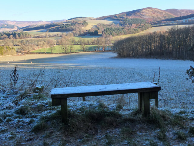
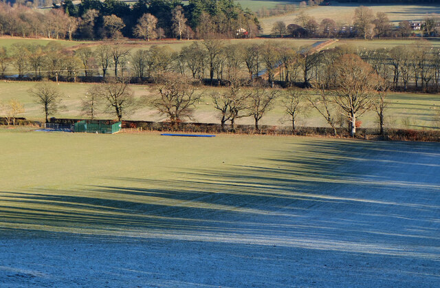
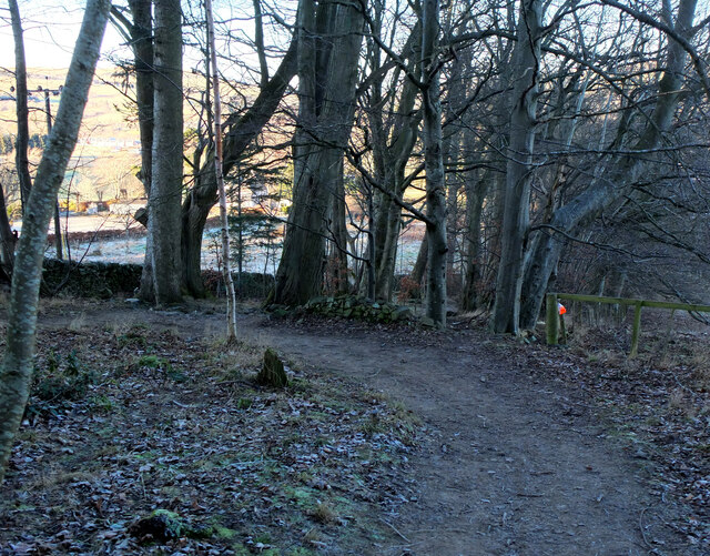
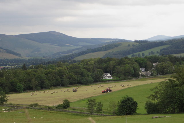
Surrounded by stunning natural landscapes, Craigerne Cottage boasts breathtaking views of rolling hills, lush green meadows, and meandering rivers. The property is nestled in a peaceful and secluded area, ensuring a truly relaxing stay for visitors seeking to escape the hustle and bustle of city life.

The cottage itself is a traditional stone-built dwelling, exuding rustic charm and character. With its cozy interior and comfortable furnishings, it provides a warm and welcoming atmosphere. The accommodation comprises a spacious living room, a well-equipped kitchen, and comfortable bedrooms, ensuring all the amenities necessary for a comfortable stay.

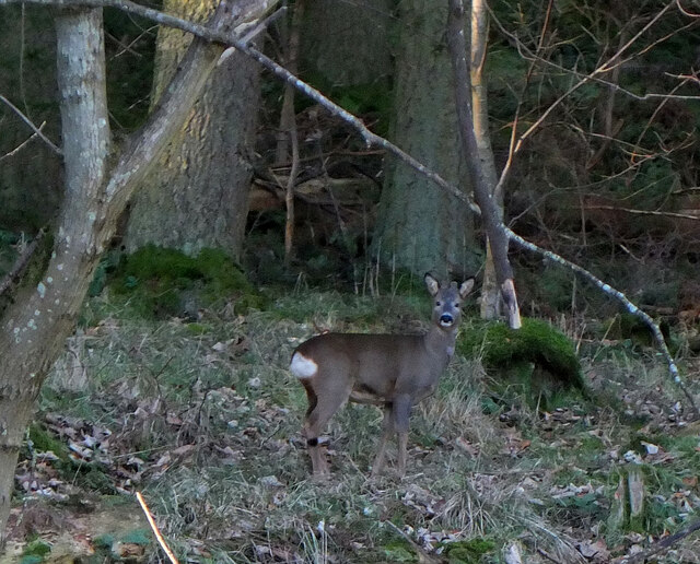
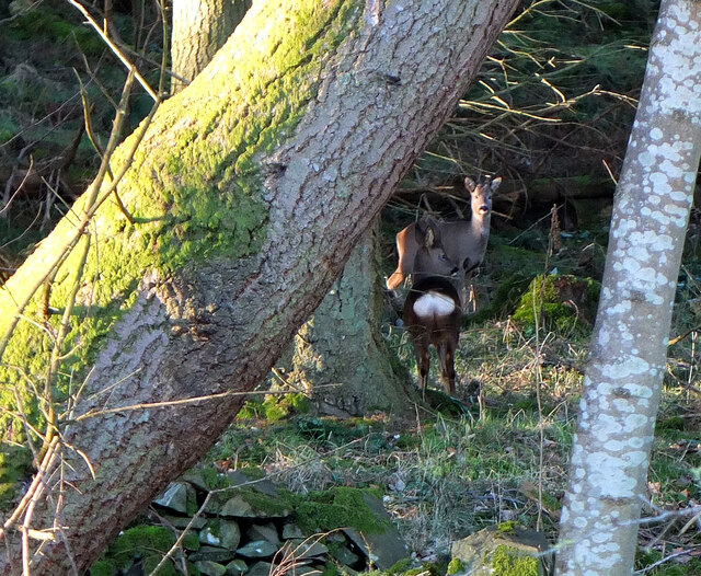
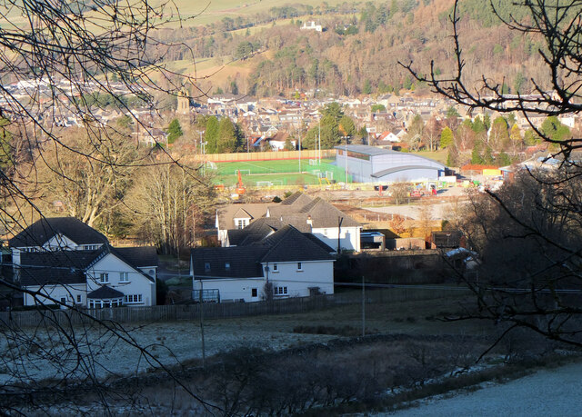
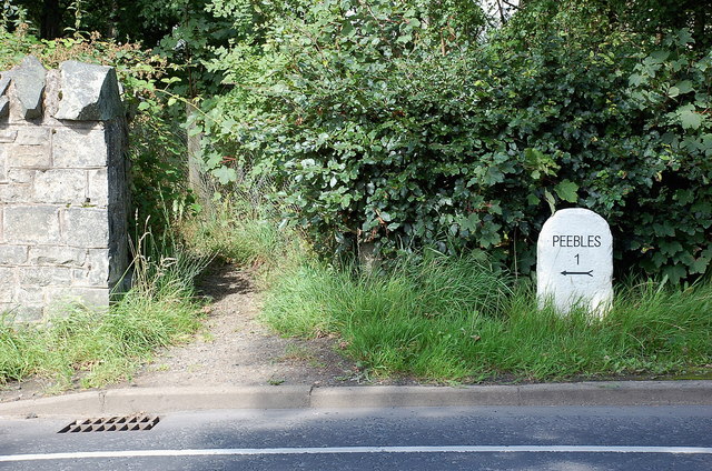
Guests can take advantage of the cottage's proximity to the nearby town of Peebles, which offers a range of amenities including shops, restaurants, and cultural attractions. Outdoor enthusiasts will be thrilled by the abundance of activities available in the surrounding area, from hiking and cycling to fishing and golfing.

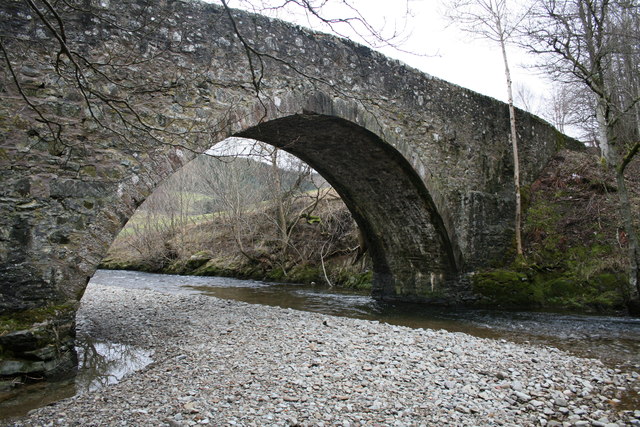
Craigerne Cottage is an ideal base for exploring the natural beauty and rich heritage of Peeblesshire, with attractions such as the stunning Neidpath Castle and the beautiful Tweed Valley just a short drive away. Whether seeking a peaceful retreat or an active adventure, Craigerne Cottage offers a truly unforgettable experience for visitors to Peeblesshire.

If you have any feedback on the listing, please let us know in the comments section below.

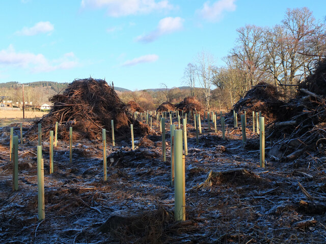
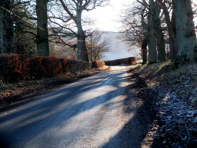
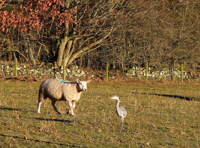
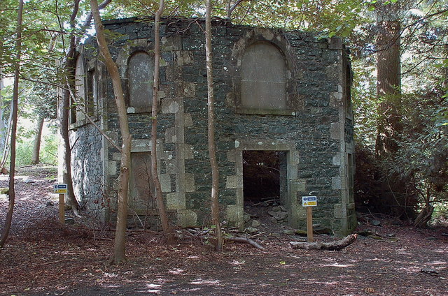
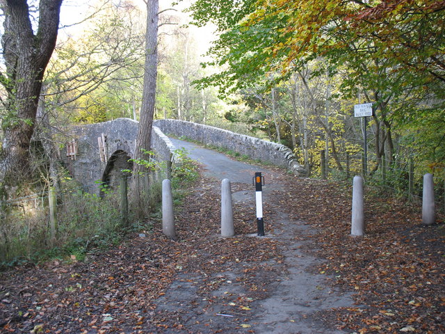
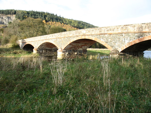
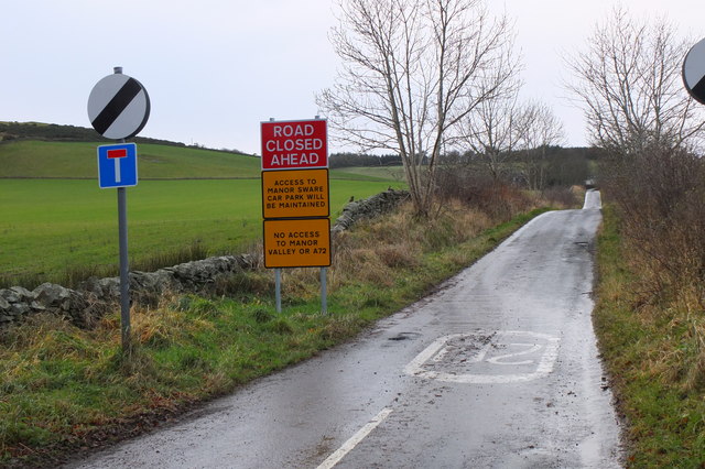
Craigerne Cottage Images

Images are sourced within 2km of 55.642308/-3.1979973 or Grid Reference NT2439. Thanks to Geograph Open Source API. All images are credited.

Replanting felled area, Bonnington Woodland here was felled last year and now replanting is taking place - compare with <a href="https://www.geograph.org.uk/photo/7529238">NT2539 : Felled plantation near The Cut, Peebles</a>.
Replanting felled area, Bonnington
Woodland here was felled last year and now replanting is taking place - compare with NT2539 : Felled plantation near The Cut, Peebles.
Tree shadows, Bonnington On the minor road around Cademuir to the Manor Valley.
Tree shadows, Bonnington
On the minor road around Cademuir to the Manor Valley.
Frosty viewpoint to Haystoun A bench on the track near Cademuir Forest car park in cold settled weather.
Frosty viewpoint to Haystoun
A bench on the track near Cademuir Forest car park in cold settled weather.
The sheep and the heron An inquisitive ewe taking a look at a heron in a pasture near Bonnington farm.
The sheep and the heron
An inquisitive ewe taking a look at a heron in a pasture near Bonnington farm.
Spiky tree shadows, Bonnington Long shadows from a strip of woodland bordering a field by the road between Peebles and Kirkton Manor.
Spiky tree shadows, Bonnington
Long shadows from a strip of woodland bordering a field by the road between Peebles and Kirkton Manor.
Roe deer, Cademuir Forest A roe deer not far from the track contouring the east edge of the woodland.
Roe deer, Cademuir Forest
A roe deer not far from the track contouring the east edge of the woodland.
Two roe deer, Cademuir Forest I spotted one deer by the track here <a href="https://www.geograph.org.uk/photo/7692276">NT2438 : Roe deer, Cademuir Forest</a>, then saw a second animal. They stayed long enough for a quick portrait.
Two roe deer, Cademuir Forest
I spotted one deer by the track here NT2438 : Roe deer, Cademuir Forest, then saw a second animal. They stayed long enough for a quick portrait.
New sports fields, Peebles High School Recently completed sports fields next to the site of the new High School currently under construction. The viewpoint is the track on the edge of the Cademuir plantation.
New sports fields, Peebles High School
Recently completed sports fields next to the site of the new High School currently under construction. The viewpoint is the track on the edge of the Cademuir plantation.
Path to Craigerne A path through a strip wood to the houses at Craigerne on the south edge of Peebles. Note the orienteering marker at the fence corner.
Path to Craigerne
A path through a strip wood to the houses at Craigerne on the south edge of Peebles. Note the orienteering marker at the fence corner.
Plaque on the Manor Bridge over the Tweed The plaque is on the SW side of the bridge. Its lettering is not too clear, but reads:

THIS BRIDGE
ERECTED BY THE COUNTY AND PRIVATE SUBSCRIBERS
WAS OPENED BY
MISS PRINGLE KIDD OF WOODHOUSE
AND NAMED BY HER
MANOR BRIDGE
20TH MARCH 1883
Plaque on the Manor Bridge over the Tweed
The plaque is on the SW side of the bridge. Its lettering is not too clear, but reads: THIS BRIDGE ERECTED BY THE COUNTY AND PRIVATE SUBSCRIBERS WAS OPENED BY MISS PRINGLE KIDD OF WOODHOUSE AND NAMED BY HER MANOR BRIDGE 20TH MARCH 1883
Cutting hay at Edderston near Peebles The red tractor is pulling the baling machine, and two more tractors are loading and carting the bales to the farm nearby. Left of centre is a flock of blackheaded gulls that have been feeding on the cut field. Lee Pen is the hill in the background.
Cutting hay at Edderston near Peebles
The red tractor is pulling the baling machine, and two more tractors are loading and carting the bales to the farm nearby. Left of centre is a flock of blackheaded gulls that have been feeding on the cut field. Lee Pen is the hill in the background.
Manor Brig 18th Century bridge, Manor, Peebles.
Manor Brig
18th Century bridge, Manor, Peebles.
Milestone at Kingsmeadows, Peebles The One Mile marker on Kingsmeadows Road. An overgrown footpath just to the left leads to the riverside.
Milestone at Kingsmeadows, Peebles
The One Mile marker on Kingsmeadows Road. An overgrown footpath just to the left leads to the riverside.
Old summerhouse, Kingsmeadows An old summerhouse or other outbuilding in the grounds of Kingsmeadows House. Kingsmeadows used to belong to the Hay family until its sale in 1920. Much of the surrounding land was compulsorily purchased to build houses in the early 1960s, but the big house and immediate gardens were bought by the current owners, the Standard Life insurance company. See <span class="nowrap"><a title="http://historyofpeebles.com/Page178.html" rel="nofollow ugc noopener" href="http://historyofpeebles.com/Page178.html">Link</a><img style="margin-left:2px;" alt="External link" title="External link - shift click to open in new window" src="https://s1.geograph.org.uk/img/external.png" width="10" height="10"/></span> for more background to Kingsmeadows.
Old summerhouse, Kingsmeadows
An old summerhouse or other outbuilding in the grounds of Kingsmeadows House. Kingsmeadows used to belong to the Hay family until its sale in 1920. Much of the surrounding land was compulsorily purchased to build houses in the early 1960s, but the big house and immediate gardens were bought by the current owners, the Standard Life insurance company. See LinkExternal link for more background to Kingsmeadows.
Old Manor Brig, built 1702 This bridge over Manor Water is now structurally unsound, and is open only to pedestrians and cyclists. Vehicular traffic crosses the Tweed nearby, and reaches Peebles on the north side of that river.
Old Manor Brig, built 1702
This bridge over Manor Water is now structurally unsound, and is open only to pedestrians and cyclists. Vehicular traffic crosses the Tweed nearby, and reaches Peebles on the north side of that river.
Manor Bridge This elegant bridge over the River Tweed was built in 1873 to serve the Manor valley, a cul-de-sac about 8 miles long. Prior to that, access was via the Old Manor Brig <a href="https://www.geograph.org.uk/photo/2694754">NT2339 : Old Manor Brig, built 1702</a>, now closed to all except pedestrians and cyclists, and a minor road to Peebles by way of Manor Sware.
Manor Bridge
This elegant bridge over the River Tweed was built in 1873 to serve the Manor valley, a cul-de-sac about 8 miles long. Prior to that, access was via the Old Manor Brig NT2339 : Old Manor Brig, built 1702, now closed to all except pedestrians and cyclists, and a minor road to Peebles by way of Manor Sware.
Road signs near Edderston The Old Manor Brig has been closed to vehicles with apparently little prospect of re-opening, so these new signs clarify the access along the minor road past Edderston farm to the Manor Sware car parks.
Road signs near Edderston
The Old Manor Brig has been closed to vehicles with apparently little prospect of re-opening, so these new signs clarify the access along the minor road past Edderston farm to the Manor Sware car parks.
Orienteering marker, Tantah An orienteering symbol on a small outcrop by the path contouring Cademuir above Tantah. I have walked past this several dozen times without noticing it. There are several such symbols in places around Peebles.
Orienteering marker, Tantah
An orienteering symbol on a small outcrop by the path contouring Cademuir above Tantah. I have walked past this several dozen times without noticing it. There are several such symbols in places around Peebles.
Show me another place!

Craigerne Cottage is located at Grid Ref: NT2439 (Lat: 55.642308, Lng: -3.1979973)

Unitary Authority: The Scottish Borders

Police Authority: The Lothians and Scottish Borders

What 3 Words

///weaned.enjoys.twig. Near Peebles, Scottish Borders

Related Wikis

Peebles High School, Peeblesshire

Peebles High School is a state run comprehensive school for girls and boys aged 12–18 located in Peebles in the Scottish Borders. It was originally named...

Peebles (West) railway station

Peebles (West) railway station was one of two railway stations that served the burgh of Peebles, Peeblesshire, Scotland from 1864 to 1950 on the Symington...
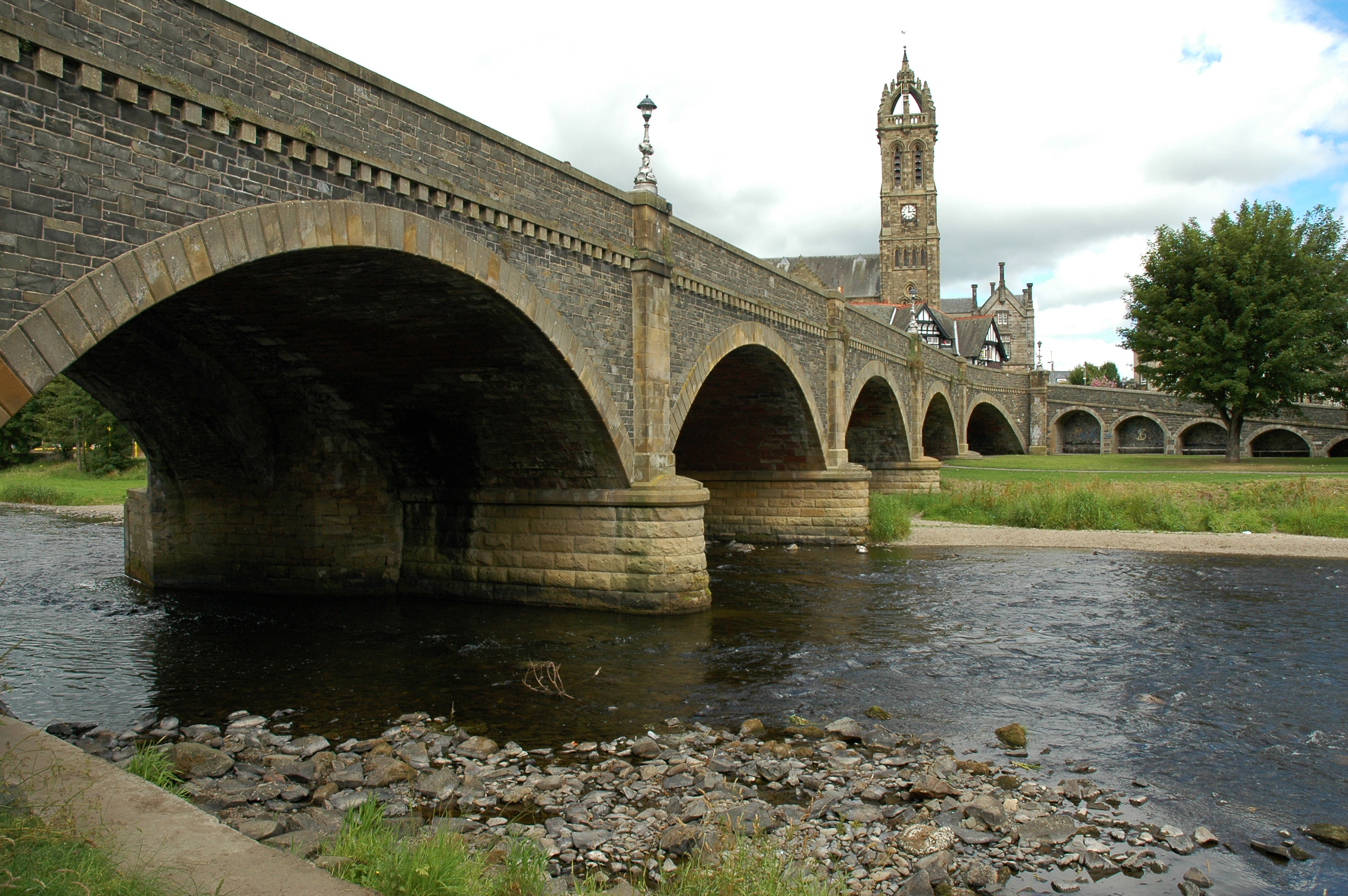
Tweed Bridge

The Tweed Bridge is a stone-built road bridge of five spans over the River Tweed in Peebles, in the Scottish Borders. == History == The Tweed Bridge is...
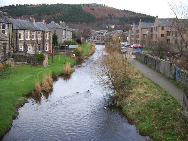
Eddleston Water

Eddleston Water is a small river north of Peebles, in the Scottish Borders area of Scotland which joins the River Tweed at Peebles. It is also known locally...

Nearby Amenities

Located within 500m of 55.642308,-3.1979973
Bus Stop
Morning Hill
Bus: yes
Naptan AtcoCode: 69001046
Naptan Bearing: N
Naptan CommonName: Morning Hill
Naptan Indicator: opp
Naptan Landmark: Morning Hill
Naptan NaptanCode: 72726938
Naptan Street: Edderston Road
Operator: Scottish Borders Council
Public Transport: platform
Ref: 69001046
Source: NaPTAN
Lat/Long: 55.6449293/-3.1992007
Bus Stop
The Loanings
Bus: yes
Naptan AtcoCode: 69001047
Naptan Bearing: N
Naptan CommonName: The Loanings
Naptan Indicator: opp
Naptan Landmark: The Loanings
Naptan NaptanCode: 72726947
Naptan Street: Edderston Road
Operator: Scottish Borders Council
Public Transport: platform
Ref: 69001047
Source: NaPTAN
Lat/Long: 55.6462192/-3.1992617
Post Box
Brand: Royal Mail
Brand Wikidata: Q638098
Collection Times: Mo-Fr 09:00; Sa 07:00
Operator: Royal Mail
Operator Wikidata: Q638098
Post Box Type: lamp
Ref: EH45 163D
Royal Cypher: scottish_crown
Lat/Long: 55.6460889/-3.1990037
Man Made: tower
Tower Type: communication
Lat/Long: 55.6386293/-3.1957582
Kingsmuir
Place: neighbourhood
Lat/Long: 55.6449877/-3.1934421
Direction: 245;65
Maxspeed: 20 mph;60 mph
Traffic Sign: maxspeed
Lat/Long: 55.6445995/-3.1994216
Direction: 245;65
Maxspeed: 20 mph;60 mph
Traffic Sign: maxspeed
Lat/Long: 55.6445543/-3.1993877
Power: pole
Lat/Long: 55.6386944/-3.201049
Power: pole
Lat/Long: 55.6391398/-3.1997291
Power: pole
Lat/Long: 55.639289/-3.1982462
Power: pole
Lat/Long: 55.6393881/-3.1972711
Power: pole
Lat/Long: 55.6394943/-3.196243
Power: pole
Lat/Long: 55.639597/-3.1951959
Power: pole
Lat/Long: 55.6401283/-3.1940748
Power: pole
Lat/Long: 55.6411813/-3.1918727
Power: pole
Lat/Long: 55.6406339/-3.1930174
Power: pole
Lat/Long: 55.6398609/-3.1921351
Power: pole
Lat/Long: 55.6417179/-3.190776
Power: pole
Lat/Long: 55.6418194/-3.1906363
Power: pole
Lat/Long: 55.6423446/-3.190556
Power: pole
Lat/Long: 55.6428556/-3.1904862
Bench
Lat/Long: 55.6391194/-3.1959037
The data included in this document is from www.openstreetmap.org. The data is made available under ODbL.

Have you been to Craigerne Cottage?

Leave your review of Craigerne Cottage below (or comments, questions and feedback).