Cowall Moor

Settlement in Staffordshire Staffordshire Moorlands

England

Cowall Moor

Brown Edge Gritstone country starts immediately you head east from Stoke on Trent. These are the southern fringes of the Pennine Hills.
Brown Edge Credit: Richard Webb

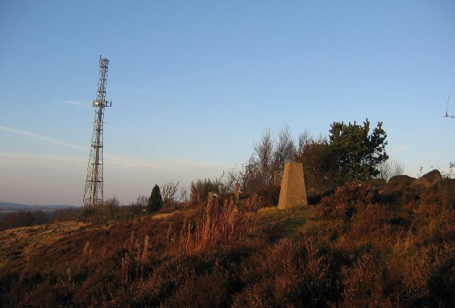
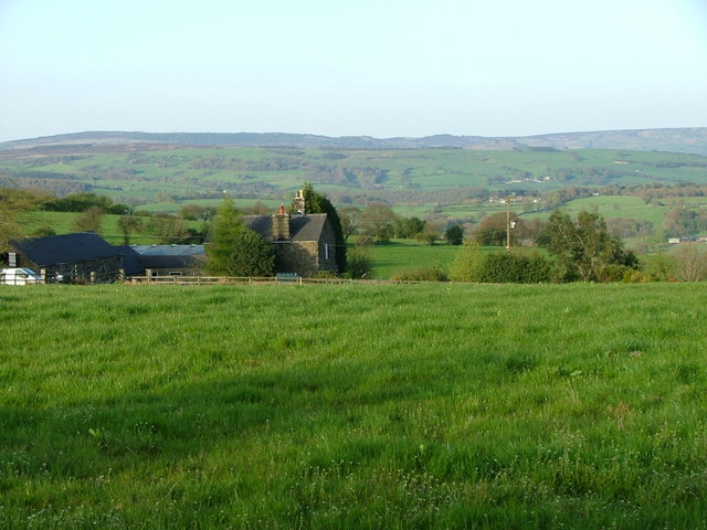
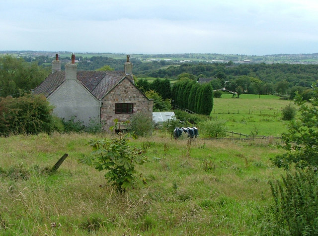
Cowall Moor is a picturesque area located in the county of Staffordshire, England. Situated in the southern part of the county, it covers an expansive area of moorland, characterized by its rolling hills, vast open spaces, and stunning natural beauty.

The moor is bordered by several towns and villages, including Alton, Denstone, and Farley. Its remote location provides a peaceful and tranquil environment, making it a popular destination for nature lovers, hikers, and outdoor enthusiasts.

The landscape of Cowall Moor is dominated by heather, grasses, and peat bogs, creating a rich and diverse ecosystem. The area is home to a variety of wildlife, including birds such as red grouse and curlew, as well as mammals like hares and foxes. Rare plants and flowers can also be found here, adding to its ecological significance.

Visitors to Cowall Moor can enjoy a range of outdoor activities, such as hiking, birdwatching, and photography. The moorland offers breathtaking panoramic views, especially from its higher points, allowing visitors to appreciate the surrounding countryside.

Although largely untouched by human development, Cowall Moor does have some historic landmarks. The remains of an ancient Stone Age settlement have been discovered, providing glimpses into the area's rich history.

In conclusion, Cowall Moor in Staffordshire is a captivating and unspoiled natural landscape, offering visitors a chance to connect with nature and explore the beauty of the English countryside.

If you have any feedback on the listing, please let us know in the comments section below.
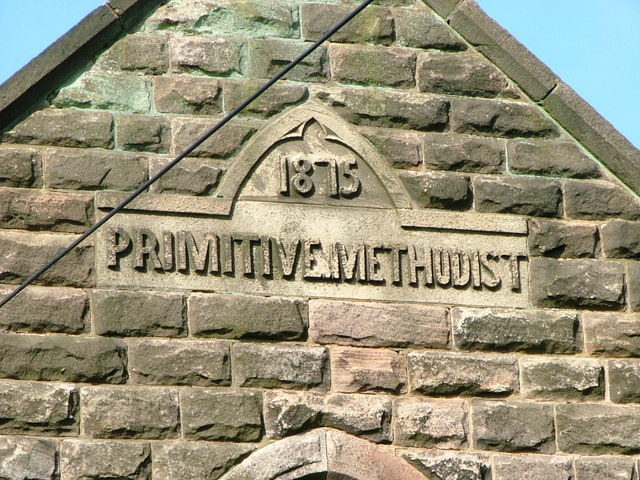
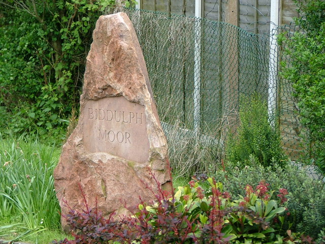
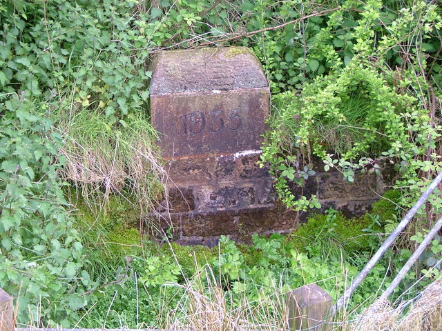
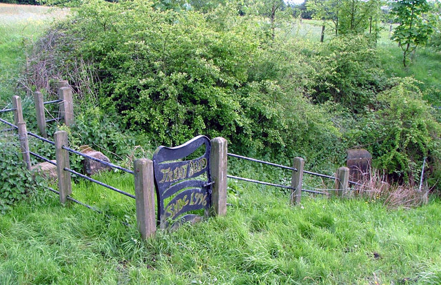
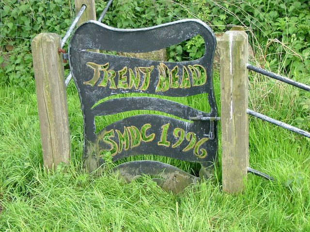
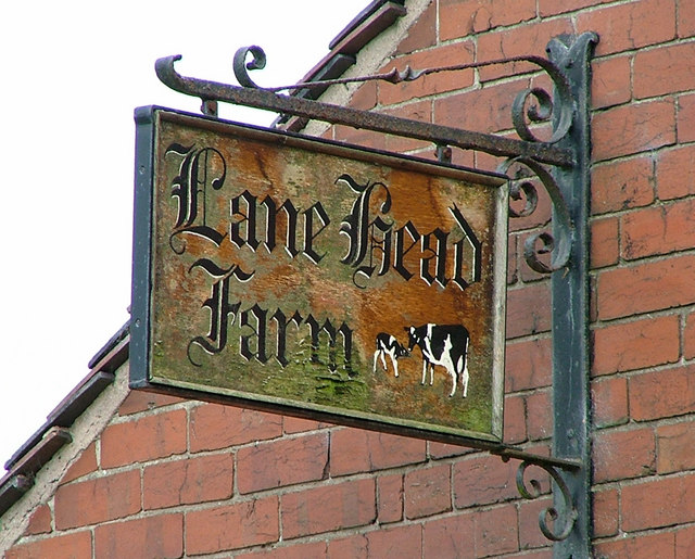
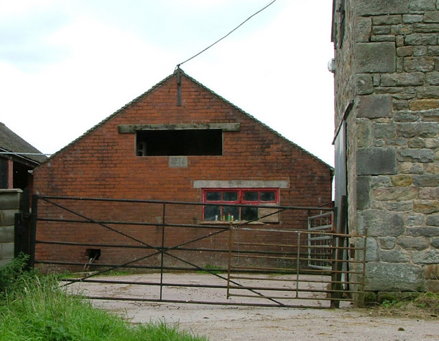
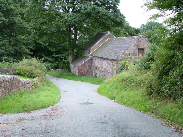
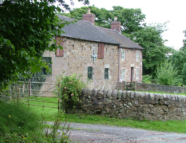
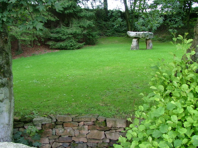
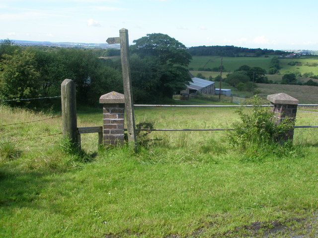
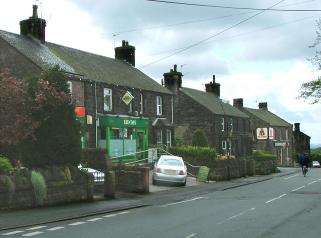
Cowall Moor Images

Images are sourced within 2km of 53.103423/-2.1350266 or Grid Reference SJ9156. Thanks to Geograph Open Source API. All images are credited.

Brown Edge Gritstone country starts immediately you head east from Stoke on Trent. These are the southern fringes of the Pennine Hills.
Brown Edge
Gritstone country starts immediately you head east from Stoke on Trent. These are the southern fringes of the Pennine Hills.
Three Nooks Farm from Top Road Site of a failed attempt to drill for a gas field in 1999 after consent was refused by Staffordshire County Council.
Three Nooks Farm from Top Road
Site of a failed attempt to drill for a gas field in 1999 after consent was refused by Staffordshire County Council.
Lask Edge Methodist Chapel Founded in 1875 and still very popular today. It has a small graveyard at the rear.
Lask Edge Methodist Chapel
Founded in 1875 and still very popular today. It has a small graveyard at the rear.
Lask Edge Methodist Chapel Side Elevation
Lask Edge Methodist Chapel
Side Elevation
Date stone from Lask Edge Chapel
Stone Sign
Stone Sign
The source of the River Trent This 'well' is the start of the River Trent complete with a commemorative stone marked 1935.
The source of the River Trent
This 'well' is the start of the River Trent complete with a commemorative stone marked 1935.
Trent Head Well Overall view of the source of the River Trent. The actual well is at the bottom right.
Trent Head Well
Overall view of the source of the River Trent. The actual well is at the bottom right.
Trent Head Well II A commemorative gate and protective fence fitted by Staffordshire Moorlands District Council in 1996.
Trent Head Well II
A commemorative gate and protective fence fitted by Staffordshire Moorlands District Council in 1996.
Ladymoor Gate Shown on the OS map as a riding school but the signs seem to have disappeared.
Ladymoor Gate
Shown on the OS map as a riding school but the signs seem to have disappeared.
Lane Head Farm
Lane Head Farm
Lane Head Farm Sign
Lane Head Farm Sign
1934 Barn Outbuilding at Lane Head Farm complete with 1934 datestone
1934 Barn
Outbuilding at Lane Head Farm complete with 1934 datestone
Hollies Farm Outbuildings Situated across the lane from Hollies Farm
Hollies Farm Outbuildings
Situated across the lane from Hollies Farm
Hollies Farm It says Hollies Farm on the nameplate, but appears on the OS map as 'Little Hollies Farm'.
Hollies Farm
It says Hollies Farm on the nameplate, but appears on the OS map as 'Little Hollies Farm'.
Standing Stones built in the late 20th or early 21st century. The stone wall in the foreground is a culvert through which a stream runs.
Standing Stones
built in the late 20th or early 21st century. The stone wall in the foreground is a culvert through which a stream runs.
Footpath to Cowall Moor
Hollin House Farm track
Show me another place!

Cowall Moor is located at Grid Ref: SJ9156 (Lat: 53.103423, Lng: -2.1350266)

Administrative County: Staffordshire

District: Staffordshire Moorlands

Police Authority: Staffordshire

What 3 Words

///decanter.lighter.snitch. Near Biddulph, Staffordshire

Nearby Locations

Cowall Moor

Related Wikis

Knypersley Reservoir

Knypersley Reservoir near Biddulph, Staffordshire, England, was built in 1827 to supply water to the Caldon Canal, along with two others at Stanley Pool...

Biddulph Moor

Biddulph Moor is a village located on the hill which bears the same name. It is in Biddulph parish and is a part of the Staffordshire Moorlands district...

Biddulph High School

Biddulph High School is a mixed upper school (termed 'high school') and sixth form located in the Knypersley area of Biddulph in the English county of...

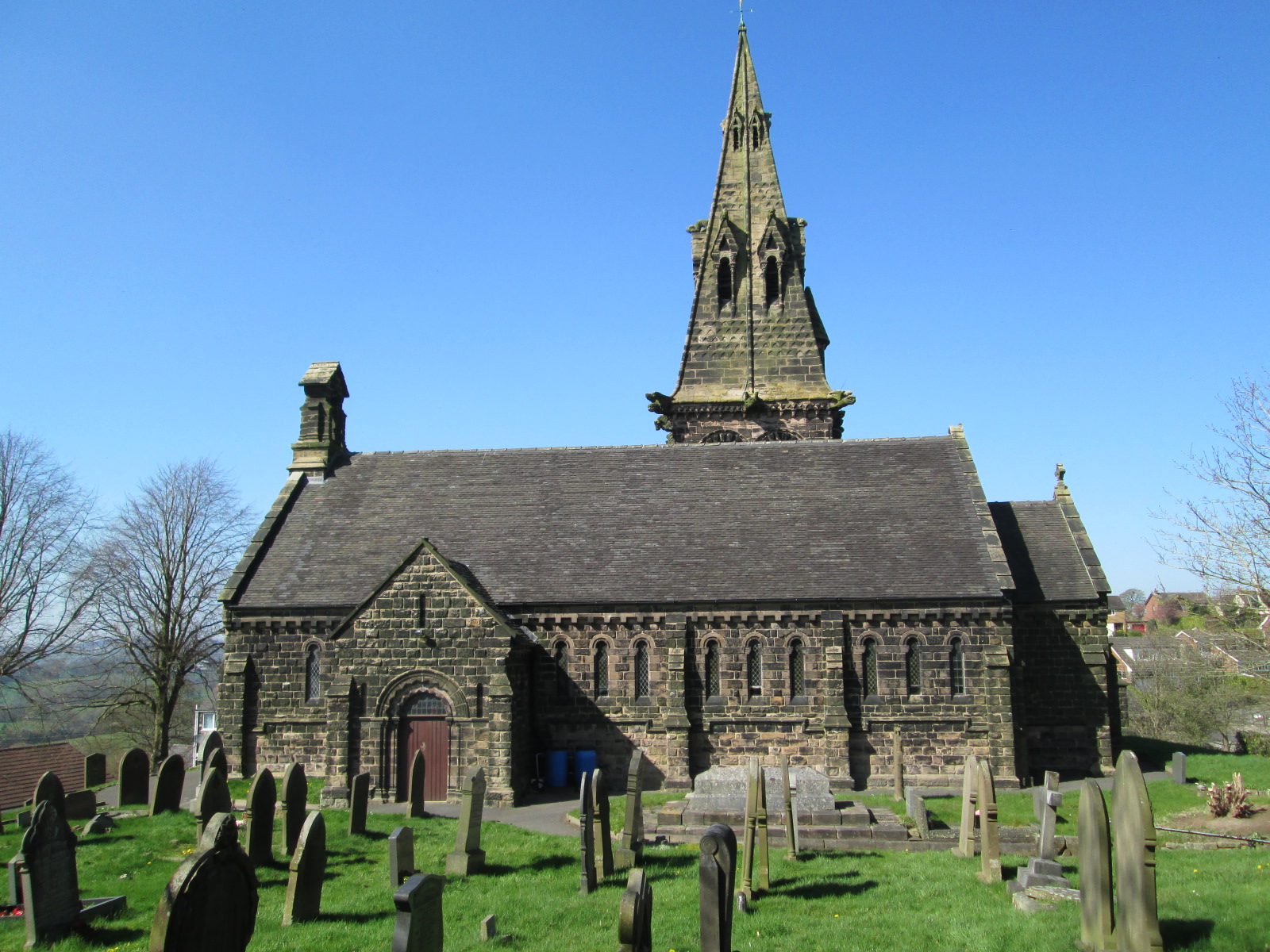
St Anne's Church, Brown Edge

St Anne's Church is an Anglican church in Brown Edge, Staffordshire, England, and in the Diocese of Lichfield. The building is Grade II listed. == History... ==

Nearby Amenities

Located within 500m of 53.103423,-2.1350266
Turning Loop
Lat/Long: 53.1023283/-2.129797
The data included in this document is from www.openstreetmap.org. The data is made available under ODbL.

Have you been to Cowall Moor?

Leave your review of Cowall Moor below (or comments, questions and feedback).