Cottle's Oak
Settlement in Somerset Mendip
England
Cottle's Oak

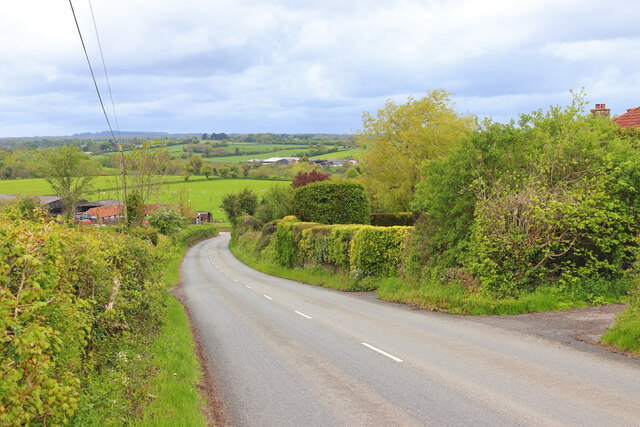
Cottle's Oak is a small village located in the county of Somerset, England. Situated about 5 miles southwest of the town of Taunton, it lies in the picturesque Taunton Deane district. The village is nestled amidst scenic countryside, characterized by rolling hills and green pastures, offering residents and visitors a tranquil and idyllic setting.
Cottle's Oak is known for its rich historical heritage, with evidence of human habitation dating back to the Roman times. The village takes its name from a prominent oak tree that once stood in the vicinity, believed to have been a landmark during medieval times. Although the original oak tree is no longer present, it remains an important symbol of the village's heritage.
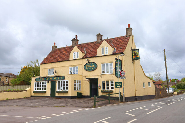
The village itself is small, with a population of approximately 500 residents. It boasts a close-knit community, where neighbors often come together for local events and activities. Cottle's Oak is home to a charming village pub, known for its warm hospitality and traditional English fare.
Surrounded by natural beauty, the village offers ample opportunities for outdoor pursuits. There are numerous walking trails and paths that wind through the countryside, allowing visitors to explore the stunning landscapes and enjoy the fresh air. Additionally, the nearby Quantock Hills provide a haven for nature enthusiasts, offering breathtaking views and diverse wildlife.
In summary, Cottle's Oak is a quaint village in Somerset, steeped in history and surrounded by scenic landscapes. With its close community and access to nature, it provides a peaceful retreat for residents and visitors alike.
If you have any feedback on the listing, please let us know in the comments section below.
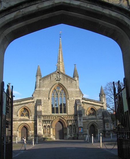
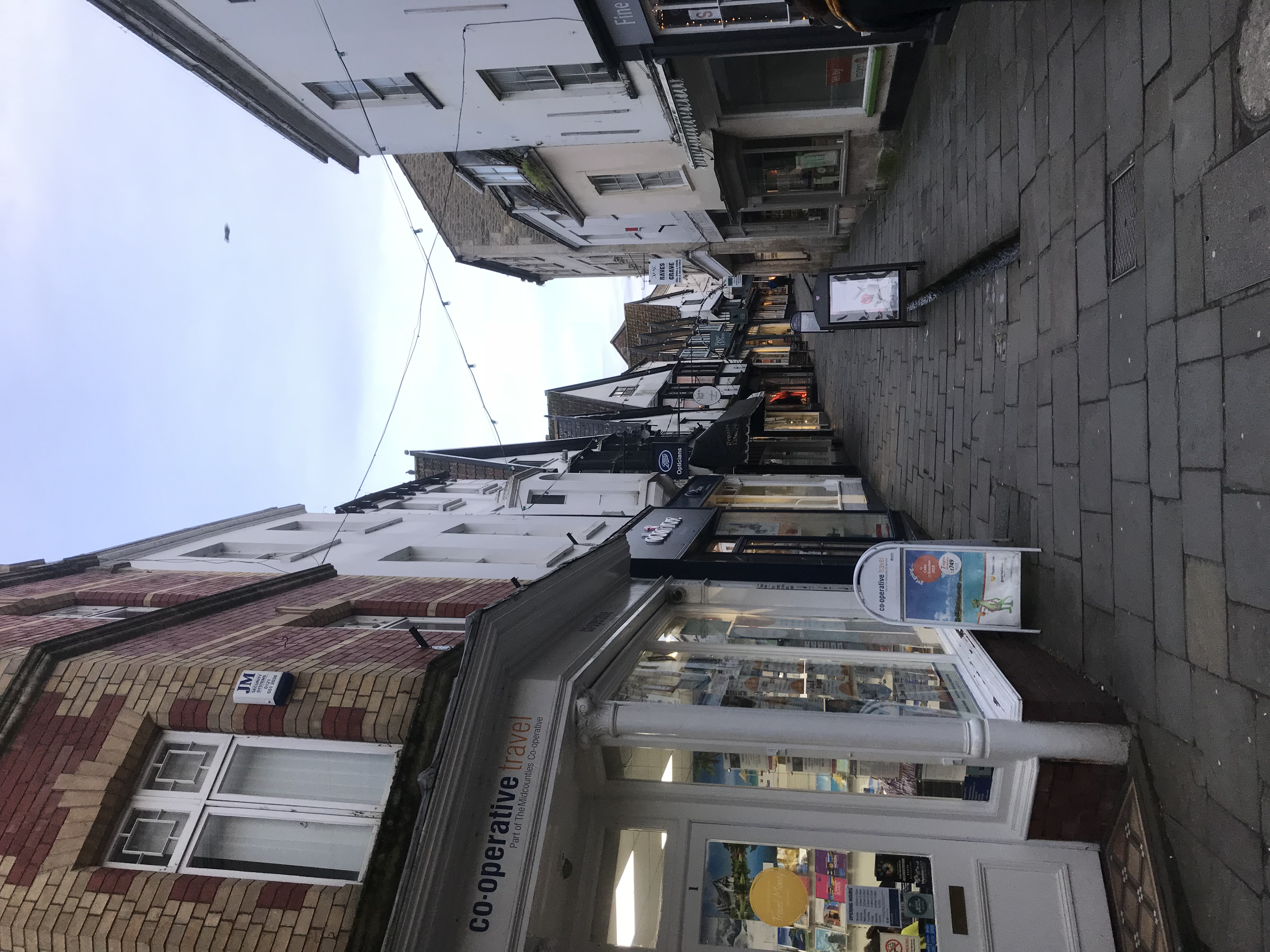
Cottle's Oak Images
Images are sourced within 2km of 51.232238/-2.3370423 or Grid Reference ST7648. Thanks to Geograph Open Source API. All images are credited.


Cottle's Oak is located at Grid Ref: ST7648 (Lat: 51.232238, Lng: -2.3370423)
Administrative County: Somerset
District: Mendip
Police Authority: Avon and Somerset
What 3 Words
///supported.forge.fooling. Near Frome, Somerset
Nearby Locations
Related Wikis

Church of the Holy Trinity, Frome
The Frome Holy Trinity in Frome, Somerset, England was built in 1837. It is a Grade II* listed building. == History == The church was built in 1837, by...
Christ Church, Frome
The Anglican Christ Church in Frome, Somerset, England, was built in 1817 and 1818. It is a Grade II* listed building. == History == The church was built...
Frome Cobble Wobble
The Frome Cobble Wobble, established in 2009, is an individually timed bicycle hill climb sprint in Frome, Somerset, England. It was first organised by...
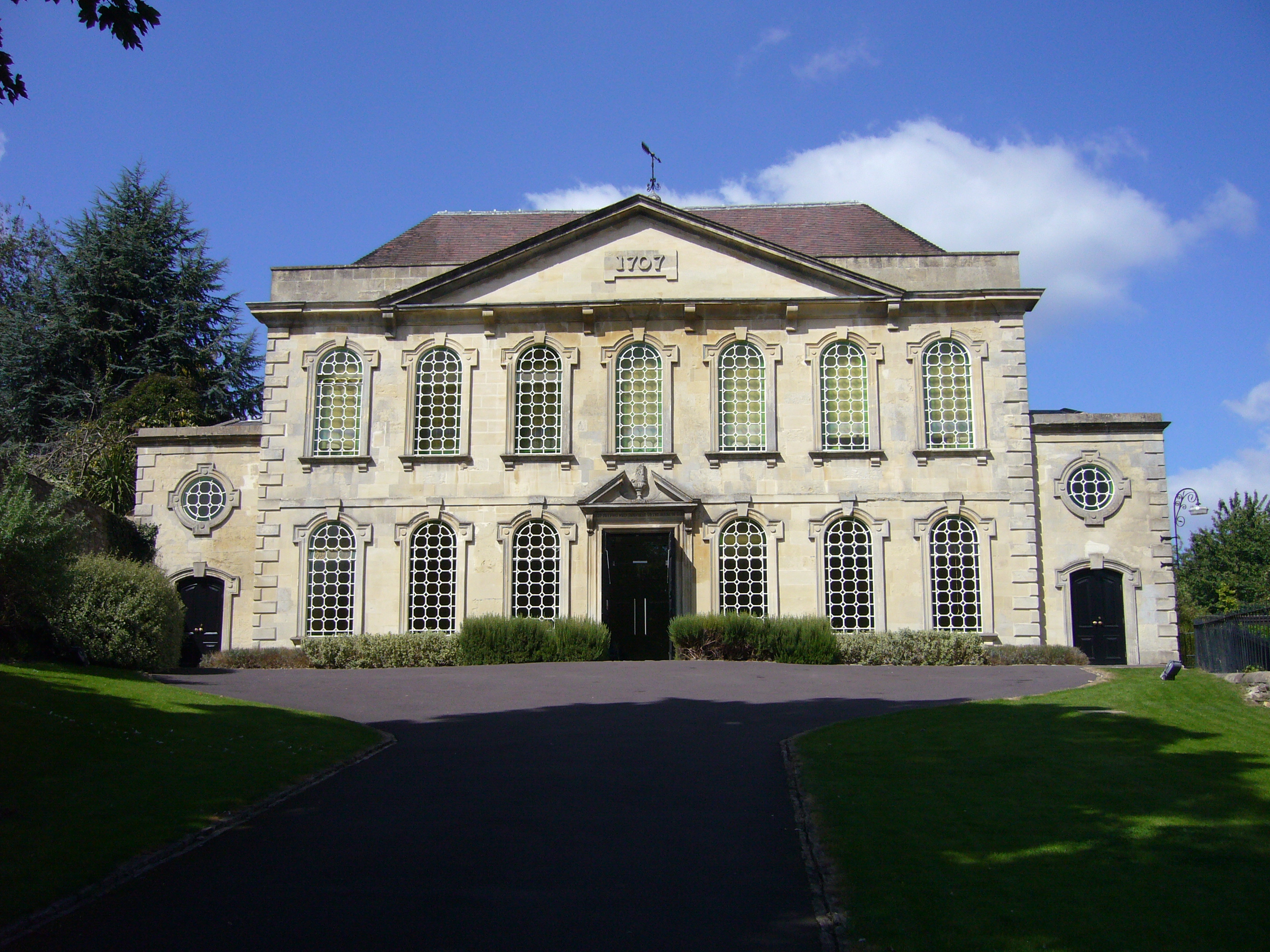
Rook Lane Chapel
Rook Lane Chapel was a place of worship, and is now an arts centre, in Frome, Somerset, England. Built in 1707 by James Pope the chapel was the place of...
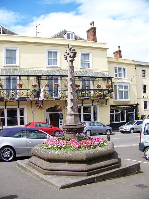
Boyle Cross
The Boyle Cross is a Grade II listed structure located in the town centre of Frome in Somerset, England. Directly across the road from the George Hotel...

Frome Rural District
Frome was a rural district in Somerset, England, from 1894 to 1974. The district was created in 1894 under the Local Government Act 1894. It was abolished...
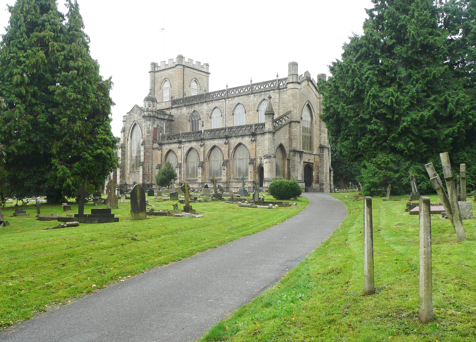
Church of St John the Baptist, Frome
The Church of St John the Baptist, Frome is a parish church in the Church of England located in Frome within the English county of Somerset. It is a Grade...
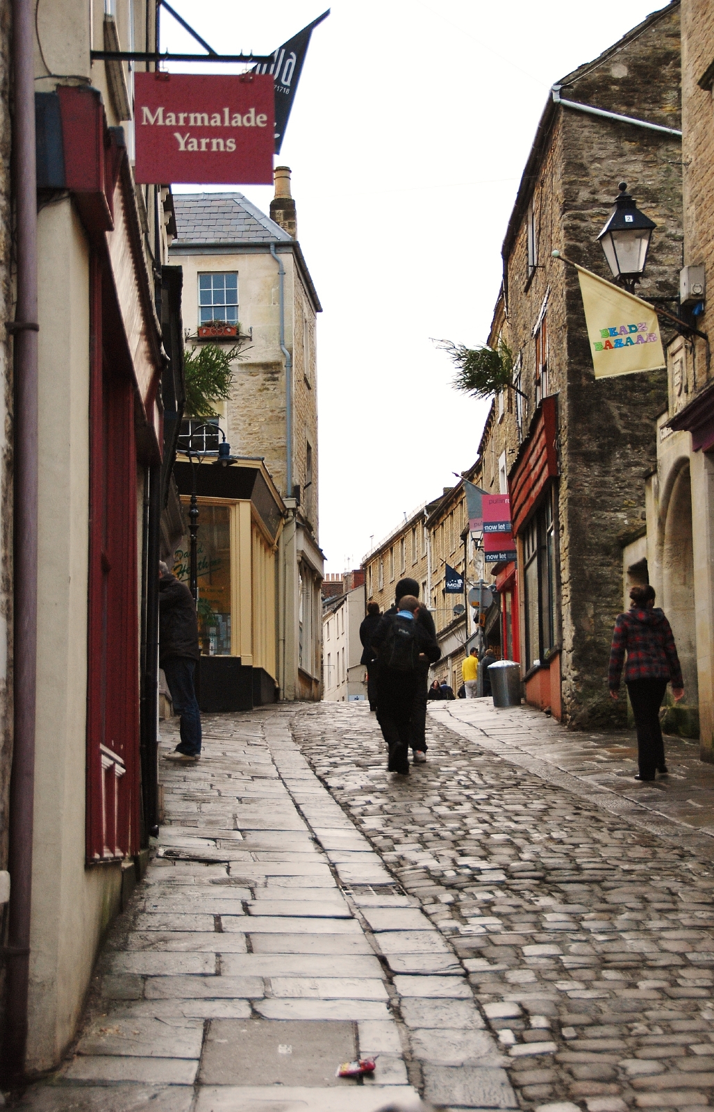
Frome
Frome ( FROOM) is a town and civil parish in eastern Somerset, England. The town is built on uneven high ground at the eastern end of the Mendip Hills...
Nearby Amenities
Located within 500m of 51.232238,-2.3370423Have you been to Cottle's Oak?
Leave your review of Cottle's Oak below (or comments, questions and feedback).