Corston

Settlement in Orkney

Scotland

Corston

Mirbister Small road to Knarston.
Mirbister Credit: Andy Farrington

Corston is a small village located on the island of Orkney, an archipelago in the northernmost part of Scotland. Situated on the eastern coast of Orkney Mainland, Corston offers stunning views of the North Sea and is surrounded by picturesque landscapes.

The village is known for its peaceful and idyllic atmosphere, making it a popular destination for those seeking tranquility and natural beauty. The area is characterized by rolling green hills, rugged cliffs, and sandy beaches, providing ample opportunities for outdoor activities such as hiking, birdwatching, and beachcombing.

Corston's population is relatively small, with a tight-knit community that takes pride in preserving the village's heritage. Traditional stone buildings and charming cottages dot the landscape, reflecting the island's rich history and cultural heritage.

While Corston may be a quiet village, it is conveniently located near several amenities. The nearby town of Kirkwall, just a short drive away, offers a range of services including shops, restaurants, and healthcare facilities. Additionally, Corston is well-connected by road and public transportation, making it accessible for both residents and visitors.

The area surrounding Corston is also home to several historical and archaeological sites, such as the Maeshowe chambered tomb and the Ring of Brodgar stone circle, which attract tourists interested in exploring Orkney's ancient past.

In summary, Corston is a charming village in Orkney that combines natural beauty, a sense of community, and historical significance, making it an appealing destination for those seeking a peaceful and culturally rich experience.

If you have any feedback on the listing, please let us know in the comments section below.
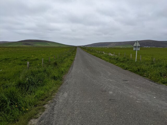
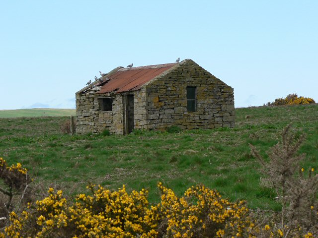
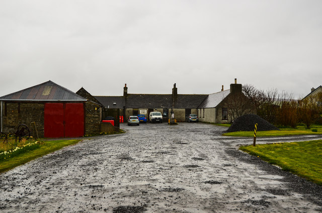
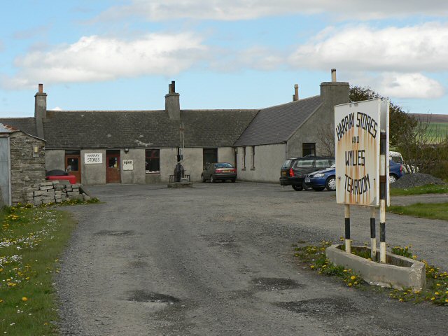
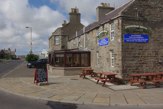
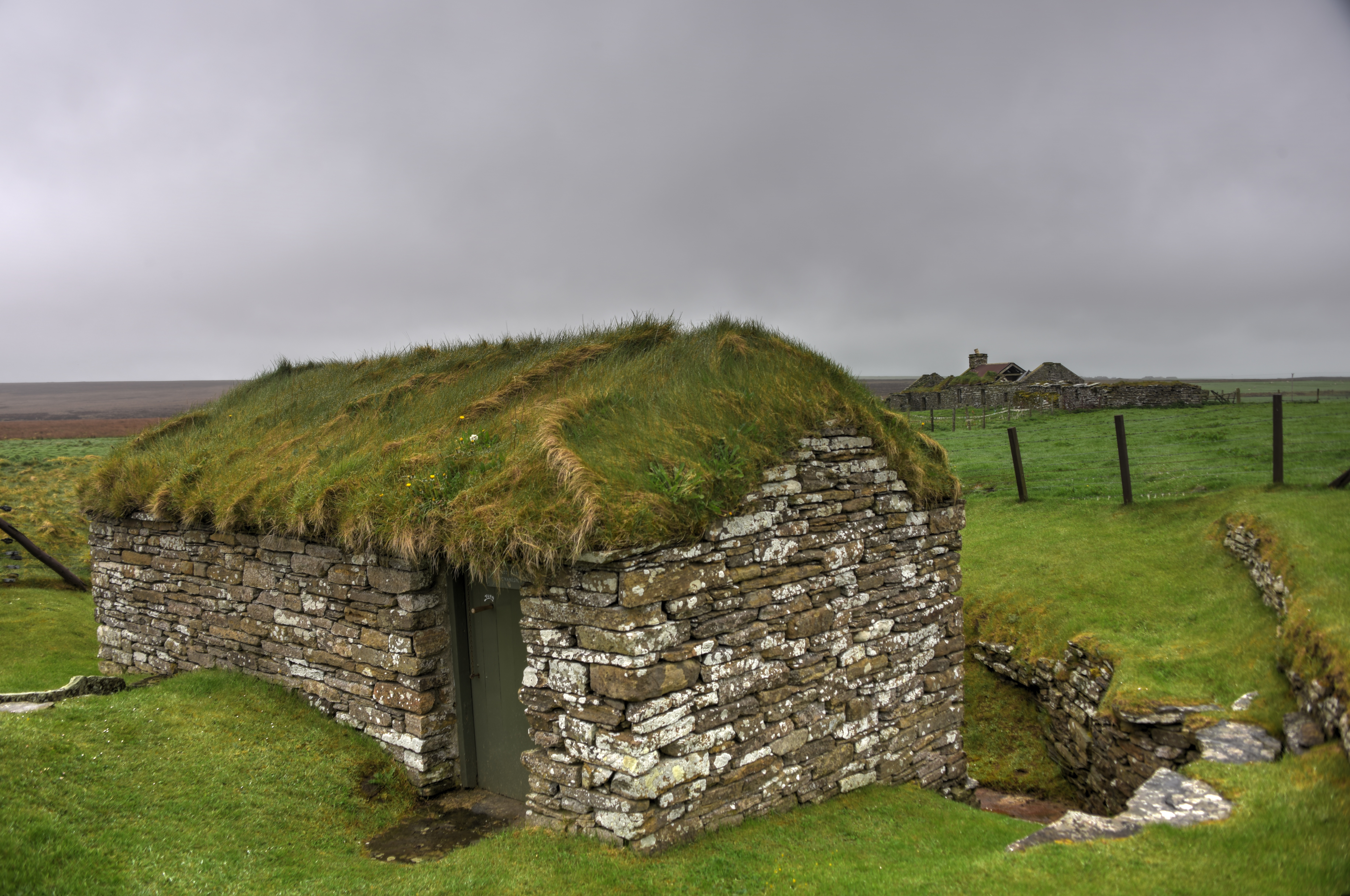
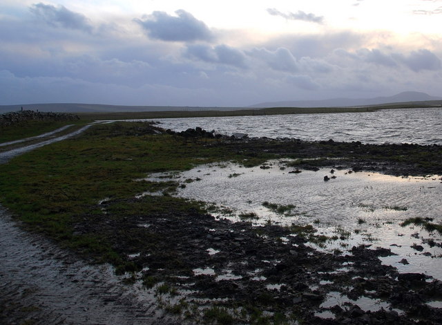
Corston Images

Images are sourced within 2km of 59.054818/-3.1921012 or Grid Reference HY3119. Thanks to Geograph Open Source API. All images are credited.

Mirbister Small road to Knarston.
Mirbister
Small road to Knarston.
Sports field and car park at Harray
A green tunnel at Harray Trees aren't common on Orkney, so this sight is especially unusual.
A green tunnel at Harray
Trees aren't common on Orkney, so this sight is especially unusual.
A straight section of road at Harray
Monday morning stroll Walkers on the minor road at North Bigging.
Monday morning stroll
Walkers on the minor road at North Bigging.
Minor road at Knarston Looking north west with the house at Brettavale to the right.
Minor road at Knarston
Looking north west with the house at Brettavale to the right.
Pasture above Corrigall
Abandoned farm building near Holodyke
Cottage by Holodyke A cottage at the side of a very minor road.
Cottage by Holodyke
A cottage at the side of a very minor road.
Sign for the Merkister Hotel I was interested to see that not much had changed 15 years later - <a href="https://www.geograph.org.uk/photo/56226">HY3019 : Room for the night?</a>
Sign for the Merkister Hotel
I was interested to see that not much had changed 15 years later - HY3019 : Room for the night?
Bridge on the A986 Spans the Burn of Layane.
Bridge on the A986
Spans the Burn of Layane.
Burn of Layane Seen here upstream from the bridge on the A986.
Burn of Layane
Seen here upstream from the bridge on the A986.
Burn of Layane View of the burn as it runs down into the Loch of Bosquoy.
Burn of Layane
View of the burn as it runs down into the Loch of Bosquoy.
Harray Stores Having a break to get out of the rain for a bit.
Harray Stores
Having a break to get out of the rain for a bit.
Heatherdale Looking to the A986 and the farm.
Heatherdale
Looking to the A986 and the farm.
Corrigall Farm Museum A 19th Century farm with a "but and ben" house - two rooms. Animals there include hens, cats and North Ronaldsay sheep.
Corrigall Farm Museum
A 19th Century farm with a "but and ben" house - two rooms. Animals there include hens, cats and North Ronaldsay sheep.
Straw thatched hen house, Corrigall Farm Museum See <a href="https://www.geograph.org.uk/photo/3773787">HY3219 : Corrigall Farm Museum</a> for information about the museum.
Straw thatched hen house, Corrigall Farm Museum
See HY3219 : Corrigall Farm Museum for information about the museum.
Wagon wheel, Corrigall Farm Museum See <a href="https://www.geograph.org.uk/photo/3773787">HY3219 : Corrigall Farm Museum</a> for information about the museum.
Wagon wheel, Corrigall Farm Museum
See HY3219 : Corrigall Farm Museum for information about the museum.
Show me another place!

Corston is located at Grid Ref: HY3119 (Lat: 59.054818, Lng: -3.1921012)

Unitary Authority: Orkney Islands

Police Authority: Highlands and Islands

What 3 Words

///songbird.hiking.regularly. Near Harray, Orkney Islands

Nearby Locations

Corston

Related Wikis

Harray

Harray (pronounced ) (Old Norse: HeraĆ°; Norn: HerraĆ°) is a parish on Mainland, Orkney, Scotland. It has the unique distinction of being the only parish...

Loch of Bosquoy

The Loch of Bosquoy is a small, shallow, rhomboid shaped loch on Mainland, Orkney, Scotland situated just off the north east corner of the Loch of Harray...

Dounby

Dounby (UK: ) is a village on Mainland in Orkney, in the north of Scotland. Dounby village is situated at the crossroads of what are now the A986 and B9057...

Bimbister

Bimbister is a village on the Orkney Islands, Scotland. The A986 is the main road through the village. The Bronze Age cemetery, the Knowes of Trotty, which...

Knowes of Trotty

The Knowes of Trotty is a Bronze Age cemetery located in Mainland, Orkney in Scotland. The ancient site consists of a group of twelve surviving burial...

Dounby Click Mill

Dounby Click Mill is a mill located on the Mainland of Orkney, in Scotland. It is the last of the horizontal or "Norse" watermills of Orkney still in working...

Loch of Harray

The Loch of Harray is the largest loch of Mainland Orkney, Scotland and is named for the parish of Harray. It lies immediately north of the Loch of Stenness...

RAF Skeabrae

Royal Air Force Skeabrae, or more simply RAF Skeabrae, is a former Royal Air Force station located in Orkney, Mainland, United Kingdom. == History == The...

Nearby Amenities

Located within 500m of 59.054818,-3.1921012
Corston
Place: locality
Lat/Long: 59.0532411/-3.193019
Power: pole
Lat/Long: 59.0532972/-3.2003226
Power: pole
Lat/Long: 59.0537852/-3.1993738
Power: pole
Lat/Long: 59.0543251/-3.1983939
Power: pole
Lat/Long: 59.054993/-3.1971702
Power: pole
Lat/Long: 59.0554609/-3.1963044
Power: pole
Lat/Long: 59.0559581/-3.1953711
Power: pole
Lat/Long: 59.0570525/-3.1993453
Power: pole
Lat/Long: 59.0567352/-3.198215
Power: pole
Lat/Long: 59.0564286/-3.1971002
Power: pole
Lat/Long: 59.0562753/-3.1965403
Power: pole
Lat/Long: 59.0559701/-3.1938778
Power: pole
Lat/Long: 59.0558048/-3.1919102
Power: pole
Lat/Long: 59.0556808/-3.1905077
Power: pole
Lat/Long: 59.0555302/-3.1891518
Power: pole
Lat/Long: 59.0553769/-3.1877701
Power: pole
Lat/Long: 59.0552422/-3.1863909
Power: pole
Lat/Long: 59.0552102/-3.1850713
Power: pole
Lat/Long: 59.0551916/-3.1840499
Power: pole
Lat/Long: 59.0553475/-3.1908188
Power: pole
Lat/Long: 59.054841/-3.1913113
Power: pole
Lat/Long: 59.0559181/-3.1849599
Power: pole
Lat/Long: 59.0547237/-3.1834822
Corston Airstrip
Aeroway: airstrip
Lat/Long: 59.0523438/-3.1912211
The data included in this document is from www.openstreetmap.org. The data is made available under ODbL.

Have you been to Corston?

Leave your review of Corston below (or comments, questions and feedback).