Cornwell's Bank
Settlement in Sussex Lewes
England
Cornwell's Bank
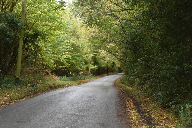
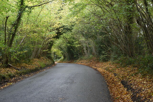
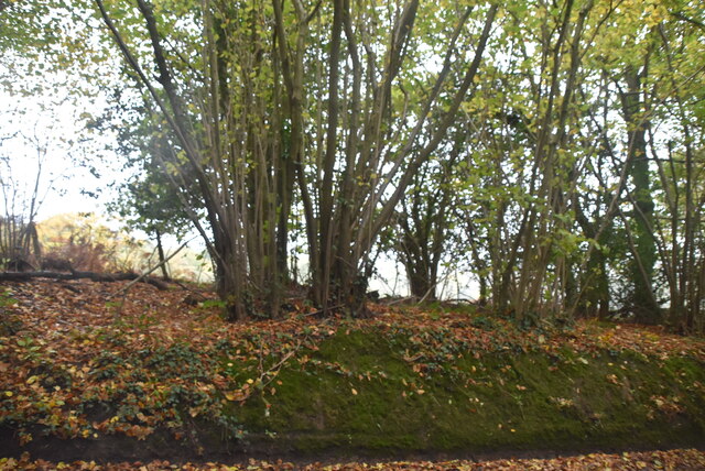
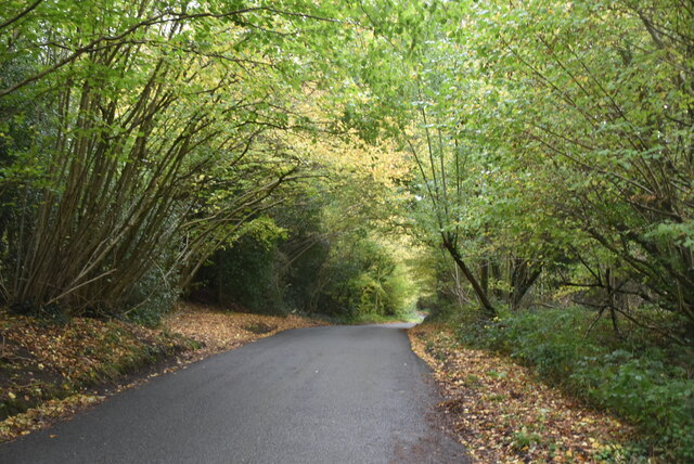
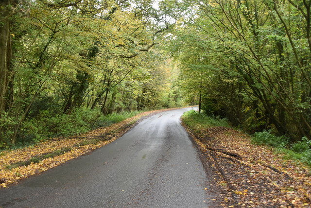
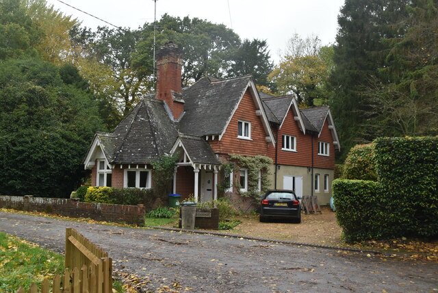
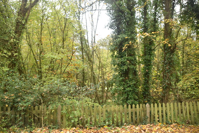
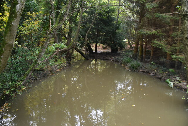
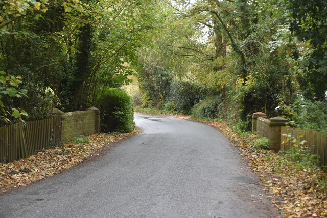
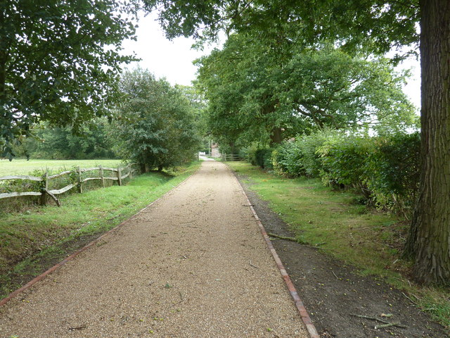
Cornwell's Bank is a small village located in the county of Sussex, England. Situated in the picturesque countryside, this tranquil village offers a quiet and idyllic retreat for residents and visitors alike. The village is nestled amidst rolling hills and lush green landscapes, providing a scenic backdrop for outdoor enthusiasts and nature lovers.
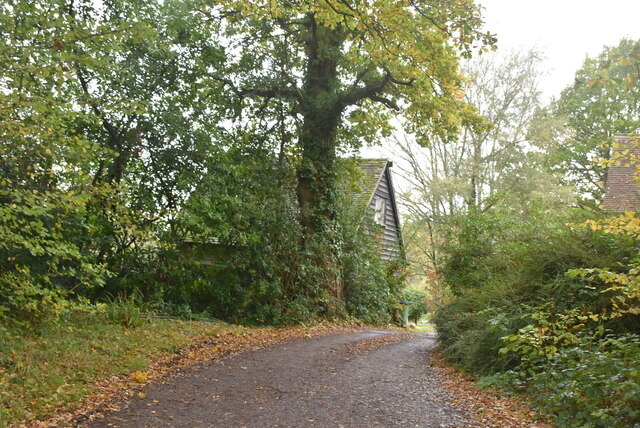
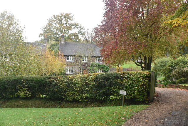
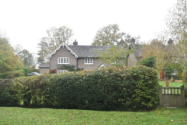
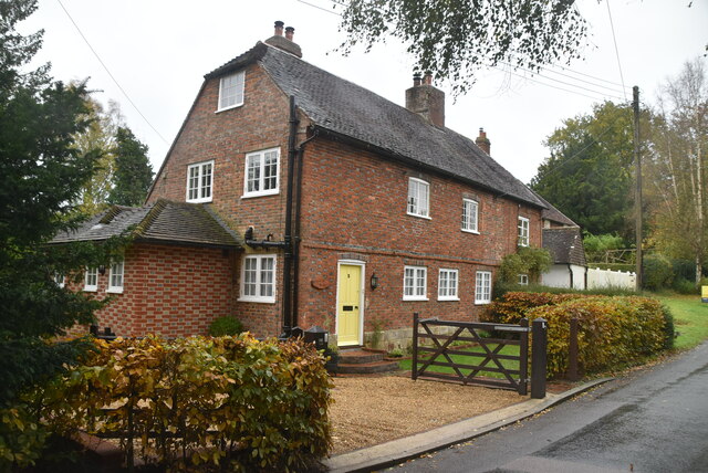
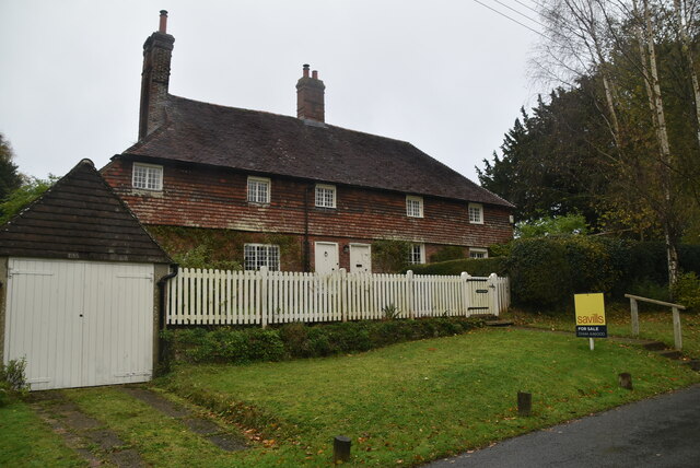
Historically, Cornwell's Bank was primarily an agricultural community, with farming playing a significant role in its economy. However, in recent years, it has transitioned into a residential area, attracting individuals seeking a peaceful and charming place to live. The village is known for its quaint cottages, many of which date back to the 18th and 19th centuries, showcasing traditional English architecture.
Despite its small size, Cornwell's Bank has a close-knit community that takes pride in preserving its heritage. The village features a charming local pub, where residents and visitors can gather to enjoy a drink or a meal while soaking up the friendly atmosphere. Additionally, there is a small village shop that provides essential amenities for the locals.
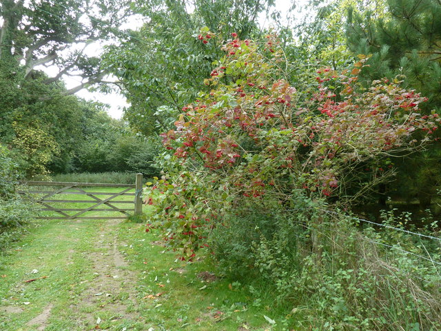
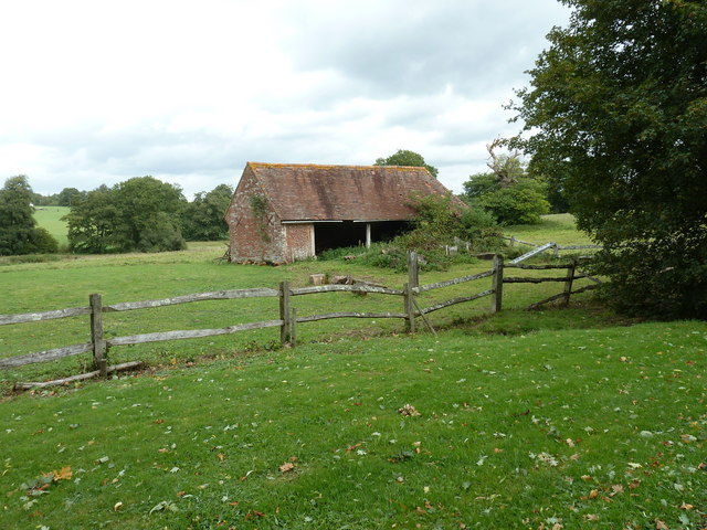
Surrounded by beautiful countryside, Cornwell's Bank offers ample opportunities for outdoor activities. Walking trails and hiking routes are abundant, allowing visitors to explore the stunning landscape and enjoy the serene environment. The village is also in close proximity to several nature reserves and parks, making it an ideal base for exploring the natural beauty of Sussex.
In summary, Cornwell's Bank is a peaceful village in Sussex, England, characterized by its scenic surroundings and traditional charm. With its historical cottages, welcoming community, and access to nature, it offers a delightful escape from the hustle and bustle of modern life.
If you have any feedback on the listing, please let us know in the comments section below.
Cornwell's Bank Images
Images are sourced within 2km of 50.96387/0.001697287 or Grid Reference TQ4020. Thanks to Geograph Open Source API. All images are credited.

Cornwell's Bank is located at Grid Ref: TQ4020 (Lat: 50.96387, Lng: 0.001697287)
Administrative County: East Sussex
District: Lewes
Police Authority: Sussex
What 3 Words
///wizards.void.snug. Near Newick, East Sussex
Nearby Locations
Related Wikis

Chailey
Chailey is a village and civil parish in the Lewes District of East Sussex, England. It is located 7 miles north of Lewes, on the A272 road from Winchester...

Newick and Chailey railway station
Newick and Chailey was a railway station located in North Chailey and located near the villages of Newick and Chailey in East Sussex, England. It was part...

Zion Chapel, Newick
Zion Chapel is a former Strict Baptist place of worship in the village of Newick in Lewes District, one of six local government districts in the English...

Chailey Moat
Chailey Moat is a Grade II listed building near the village of Chailey, East Sussex. It is a 16th-century moated two storey house with an 18th-century...

Chailey Common
Chailey Common is a 169 hectare (417.4 acre) biological site of Special Scientific Interest in the East Sussex. It is close to the village of North Chailey...

Newick
Newick is a village, civil parish and electoral ward in the Lewes District of East Sussex, England. It is located on the A272 road six miles (9.7 km) east...

Heritage Mill, North Chailey
Heritage Mill, or Beard's Mill is a grade II listed smock mill at North Chailey, Sussex, England, which is maintained as a landmark and open to the public...

Chailey Heritage School
Chailey Heritage School is a special school located in North Chailey, East Sussex, England. It is owned and operated by the Chailey Heritage Foundation...
Nearby Amenities
Located within 500m of 50.96387,0.001697287Have you been to Cornwell's Bank?
Leave your review of Cornwell's Bank below (or comments, questions and feedback).