Corkickle
Settlement in Cumberland Copeland
England
Corkickle
Corkickle is a small village located in the county of Cumberland, England. Situated on the western coast, it lies approximately 1 mile south of the town of Whitehaven. With a population of around 2,000 residents, Corkickle is a tight-knit community known for its welcoming atmosphere and picturesque surroundings.
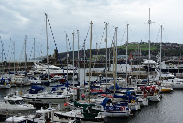
The village is nestled amidst rolling hills and lush green fields, offering stunning views of the nearby Lake District National Park. Its proximity to the coast grants residents and visitors easy access to the beautiful beaches of the Irish Sea, ideal for leisurely walks or family outings.
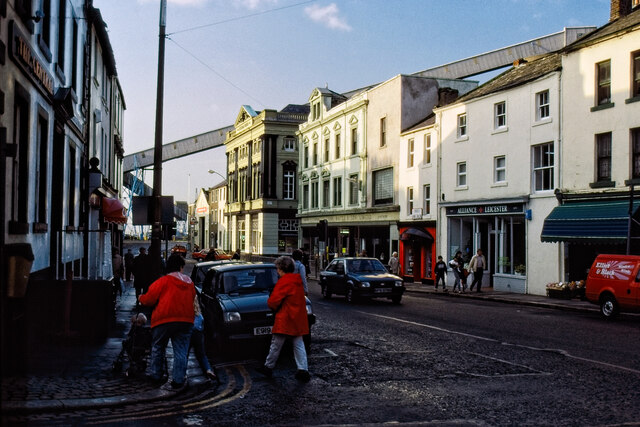
Corkickle boasts a rich history, dating back to the early 18th century when it was primarily an agricultural village. Today, it maintains its rural charm with several traditional cottages and farms dotting the landscape. The local economy has diversified over the years, with a mix of small businesses, shops, and services catering to the needs of the community.
Residents of Corkickle enjoy a range of amenities, including a primary school, a community center, and a public library. The village also has various sports facilities, such as a football pitch and a cricket ground, where locals engage in friendly matches and tournaments.
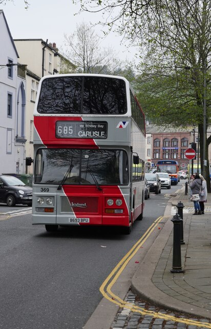
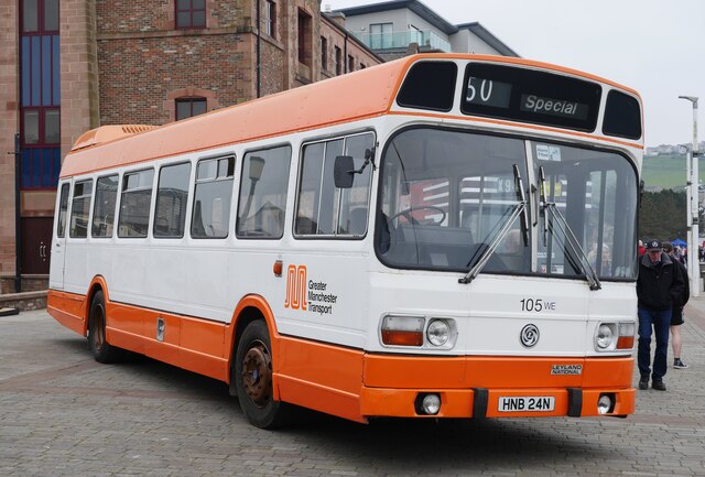
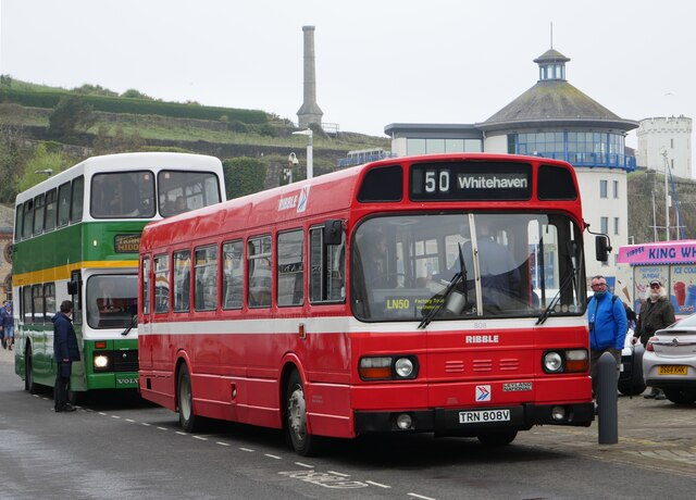
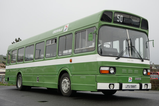
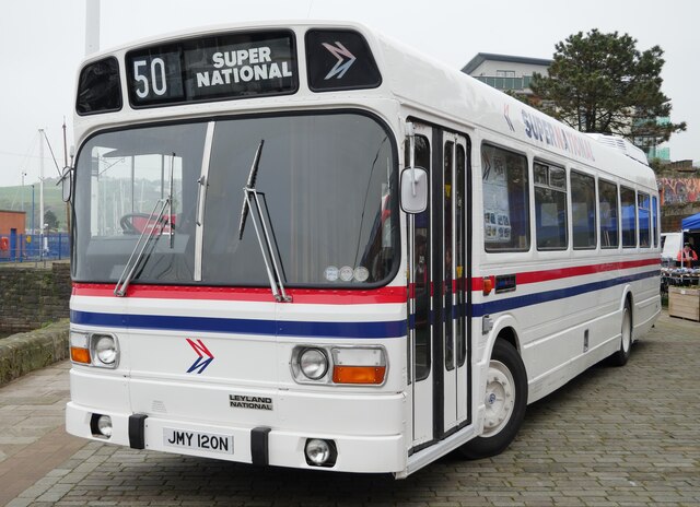
Transportation in Corkickle is facilitated by regular bus services connecting the village to Whitehaven and other nearby towns. The village is also conveniently located near the A595, a major road that provides easy access to the wider region.
Overall, Corkickle, Cumberland offers a peaceful and scenic place to call home, perfect for those seeking a tranquil village lifestyle with easy access to the stunning natural beauty of the Lake District.
If you have any feedback on the listing, please let us know in the comments section below.
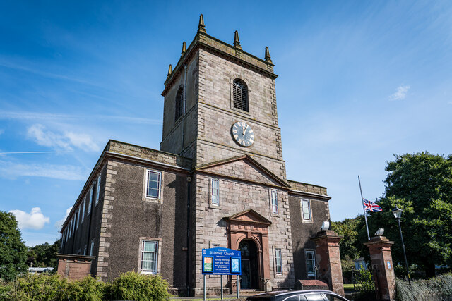
Corkickle Images
Images are sourced within 2km of 54.540967/-3.5794777 or Grid Reference NX9717. Thanks to Geograph Open Source API. All images are credited.


Corkickle is located at Grid Ref: NX9717 (Lat: 54.540967, Lng: -3.5794777)
Administrative County: Cumbria
District: Copeland
Police Authority: Cumbria
What 3 Words
///ourselves.drift.school. Near Whitehaven, Cumbria
Nearby Locations
Related Wikis

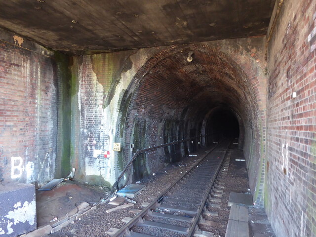
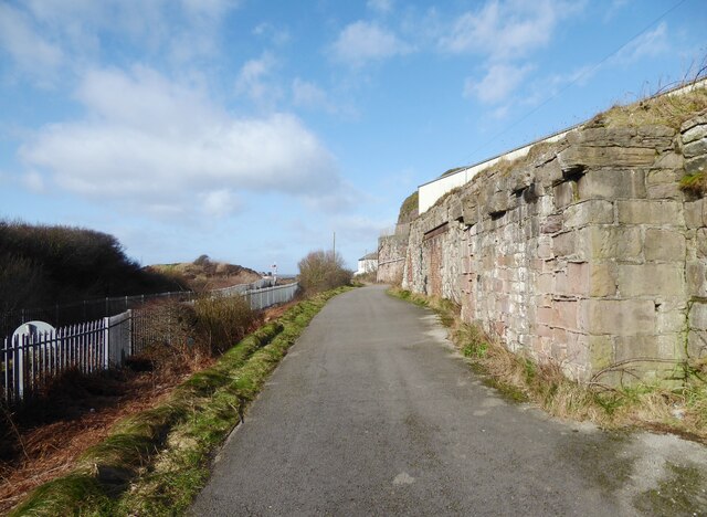
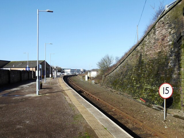
Corkickle railway station
Corkickle railway station is a railway station serving the suburb of Corkickle near Whitehaven in Cumbria, England. It is on the Cumbrian Coast line, which...

Whitehaven A.F.C.
Whitehaven Amateur Football Club is a football club in Whitehaven, Cumbria. The club are currently members of the West Lancashire League Premier Division...
Recreation Ground (Whitehaven)
The Recreation Ground (known locally as the 'Recre') and for sponsorship reasons the Ortus REC is a rugby league stadium in Whitehaven, Cumbria, England...

Corkickle
Corkickle is a suburb of Whitehaven in Cumbria, England. It is served by Corkickle railway station. == References ==
Nearby Amenities
Located within 500m of 54.540967,-3.5794777Have you been to Corkickle?
Leave your review of Corkickle below (or comments, questions and feedback).