Coodham
Settlement in Ayrshire
Scotland
Coodham

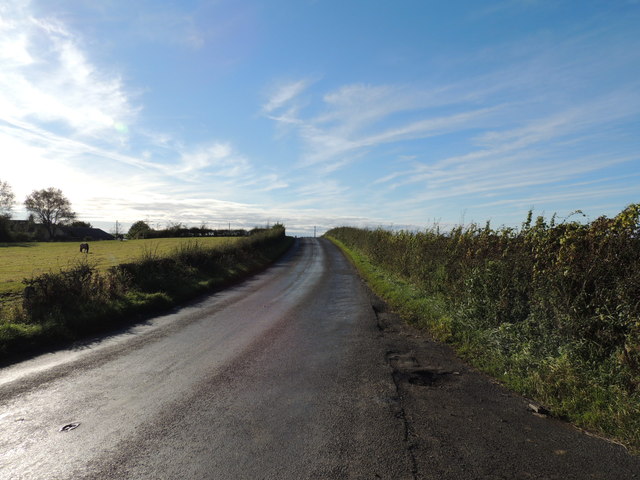
Coodham is a small village located in the council area of South Ayrshire, Scotland. Situated about 3 miles southeast of the town of Symington, it lies in the picturesque countryside of Ayrshire. The village is surrounded by rolling green fields and farmland, providing residents with a scenic and tranquil environment.
Coodham is known for its historic significance, with Coodham House being a prominent feature. Built in the 18th century, the house is a fine example of Georgian architecture and is surrounded by well-maintained gardens. The estate also includes a walled garden and a former coach house, which have been converted into residential properties.
Despite its small size, Coodham offers a range of amenities to its residents. The village has a primary school, providing education for children in the local area. Additionally, there are several shops and businesses catering to the community's daily needs. For more extensive shopping and leisure activities, the nearby towns of Symington and Ayr are easily accessible.
Coodham is also well-connected in terms of transportation. The village is situated close to the A77 road, which provides convenient access to surrounding areas and major cities such as Glasgow and Edinburgh. Public transportation options include bus services that connect Coodham to neighboring towns and villages.
Overall, Coodham is a charming and peaceful village, offering a close-knit community and a quality rural lifestyle. Its beautiful surroundings, historic landmarks, and convenient location make it an appealing place to live for those seeking a quieter pace of life in the Scottish countryside.
If you have any feedback on the listing, please let us know in the comments section below.
Coodham Images
Images are sourced within 2km of 55.561861/-4.5420095 or Grid Reference NS3932. Thanks to Geograph Open Source API. All images are credited.


Coodham is located at Grid Ref: NS3932 (Lat: 55.561861, Lng: -4.5420095)
Unitary Authority: South Ayrshire
Police Authority: Ayrshire
What 3 Words
///rejoiced.rigs.obstruct. Near Symington, South Ayrshire
Nearby Locations
Related Wikis

Coodham
Coodham, also previously known as Cowdam or Cowdams, is a place near Symington in South Ayrshire, Scotland. The lands were held by the Mure family in the...

Helenton Loch
Helenton Loch was situated in a low lying area between the farms and dwellings of Helentongate, Mains, and Burnbank in the Parish of Symington, South Ayrshire...

Craigie Castle
Craigie Castle, in the old Barony of Craigie, is a ruined fortification situated about 4 miles (6.4 km) southeast of Kilmarnock and 1 mile (1.6 km) southeast...

Kerse Castle, East Ayrshire
Kerse Castle or Carse Castle (NGR NS 4385 1413 ) is a ruined fortification once held by the Craufurd Clan, situated in the Parish of Dalrymple, East Ayrshire...
Symington, South Ayrshire
Symington is a conservation village in South Ayrshire, Scotland. It is located in Symington parish, covering 0.41 square kilometres (3⁄16 sq mi), and lies...
Caprington Loch
What now survives of the old Caprington Loch (NS402352) is situated near Earlston, Riccarton, East Ayrshire, Scotland. The loch was a natural feature,...
Barnweill Castle
Barnweill Castle was a castle located at Barnweill, in the parish of Craigie, South Ayrshire, Scotland. The castle was a stronghold of the Lindsay family...
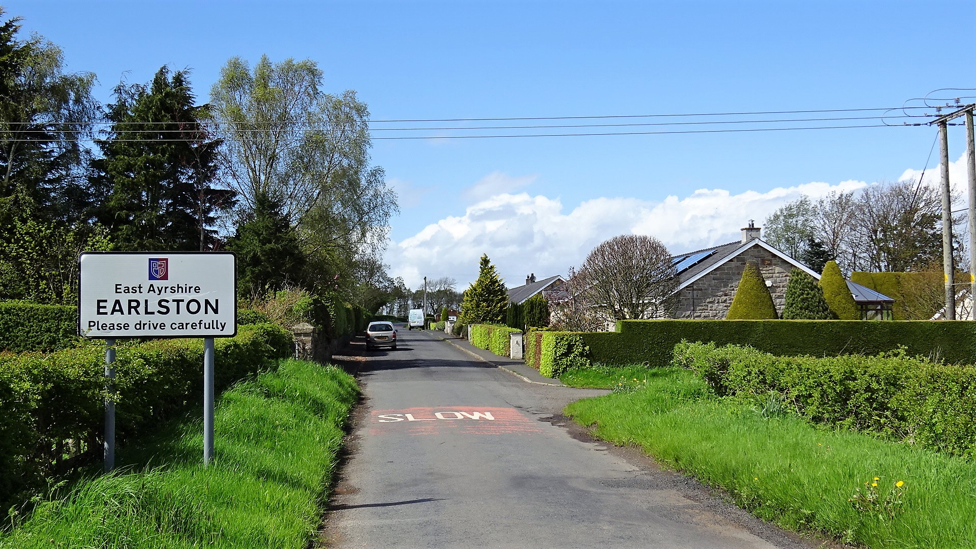
Earlston, East Ayrshire
Earlston is a hamlet in Riccarton, East Ayrshire, Scotland. The habitation dates from at least the early 18th century and is near Caprington Castle and...
Nearby Amenities
Located within 500m of 55.561861,-4.5420095Have you been to Coodham?
Leave your review of Coodham below (or comments, questions and feedback).