Colby Corner
Settlement in Norfolk North Norfolk
England
Colby Corner
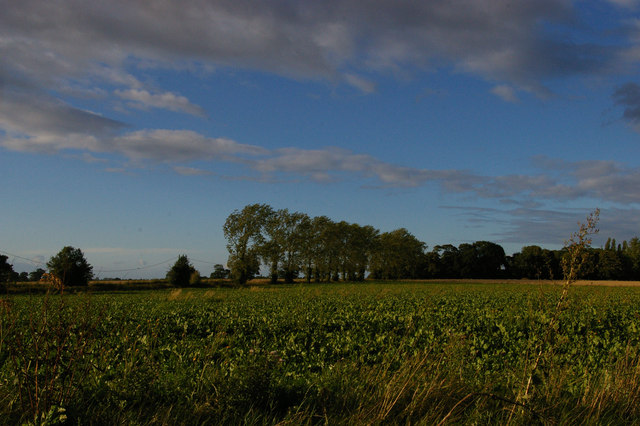
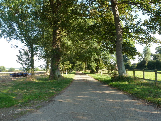
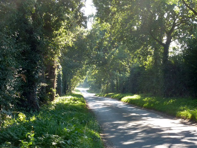
Colby Corner is a small village located in the county of Norfolk, England. Situated approximately 10 miles southwest of the county town of Norwich, Colby Corner is nestled in the picturesque countryside, surrounded by rolling hills and farmland.
The village itself is home to a tight-knit community, with a population of around 300 residents. The area is known for its tranquility and scenic beauty, making it an ideal place for those seeking a peaceful and rural lifestyle.
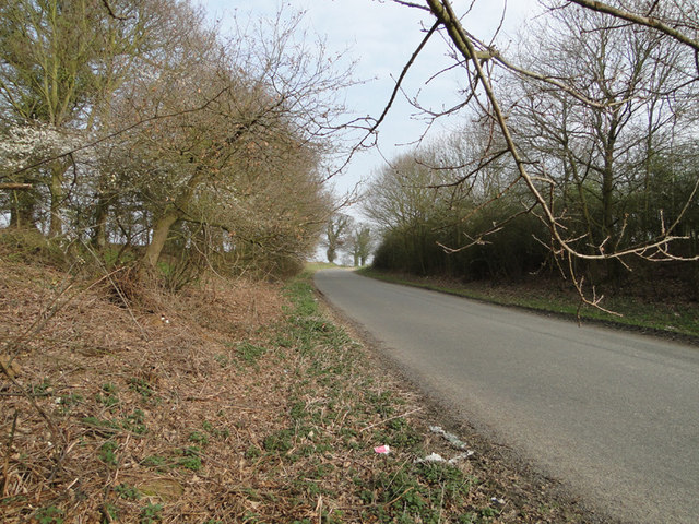
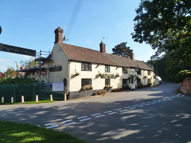
Colby Corner boasts a few amenities to cater to the needs of its residents. There is a local village hall, providing a space for community events and gatherings, as well as a small shop offering essential groceries. For leisure activities, there are several footpaths and nature trails that wind through the surrounding countryside, providing opportunities for outdoor recreation and exploring the scenic landscape.
The village is also in close proximity to some notable attractions. The historic market town of Wymondham is just a short drive away, offering a range of shops, restaurants, and a weekly market. Additionally, the renowned Norfolk Broads, a network of rivers and lakes, are easily accessible from Colby Corner, providing opportunities for boating, fishing, and wildlife spotting.
Overall, Colby Corner offers a peaceful and idyllic setting for those looking to escape the hustle and bustle of city life, while still being within reasonable reach of larger towns and attractions.
If you have any feedback on the listing, please let us know in the comments section below.
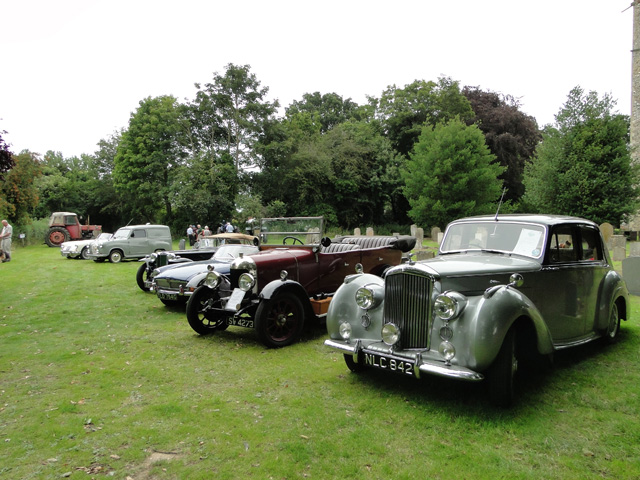
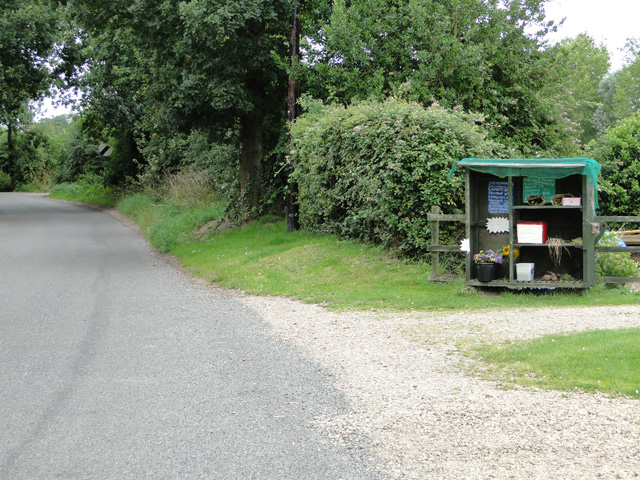
Colby Corner Images
Images are sourced within 2km of 52.822311/1.304617 or Grid Reference TG2230. Thanks to Geograph Open Source API. All images are credited.


Colby Corner is located at Grid Ref: TG2230 (Lat: 52.822311, Lng: 1.304617)
Administrative County: Norfolk
District: North Norfolk
Police Authority: Norfolk
What 3 Words
///occupations.crawled.premises. Near Aylsham, Norfolk
Nearby Locations
Related Wikis

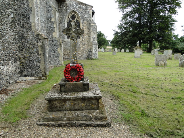
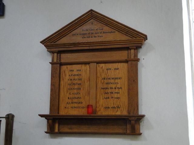
Banningham
Banningham is a village and former civil parish, now in the parish of Colby, in the North Norfolk district, in the English county of Norfolk. The village...

Colby, Norfolk
Colby is a village and a civil parish in the English county of Norfolk. The village is 8.6 miles (13.8 km) south of Cromer, 16.8 miles (27.0 km) north...

Felmingham
Felmingham is a village and civil parish in the English county of Norfolk. The village is located 2 miles (3.2 km) west of North Walsham and 13 miles...

Felmingham Cutting
Felmingham Cutting is a 1-hectare (2.5-acre) Local Nature Reserve west of North Walsham in Norfolk. It is owned by North Norfolk District Council and...

Suffield, Norfolk
Suffield is a village and a civil parish in the English county of Norfolk. The village is 7.1 miles (11.4 km) south of Cromer, 18.4 miles (29.6 km) north...

Felmingham railway station
Felmingham railway station is a former railway station in Norfolk, England. It was closed in 1959. It served the village of Felmingham. == References ==

Tuttington
Tuttington is a village and former civil parish, now in the parish of Burgh and Tuttington, in the Broadland district, in the county of Norfolk, England...

Bryant's Heath, Felmingham
Bryant's Heath, Felmingham is a 17.7-hectare (44-acre) biological Site of Special Scientific Interest west of North Walsham in Norfolk.Most of this site...
Nearby Amenities
Located within 500m of 52.822311,1.304617Have you been to Colby Corner?
Leave your review of Colby Corner below (or comments, questions and feedback).