Cliffe Common
Settlement in Yorkshire Selby
England
Cliffe Common

Cliffe Common is a picturesque piece of countryside located in the county of Yorkshire, England. Situated near the village of Cliffe, it covers an area of approximately 200 hectares. The common is characterized by its rolling hills, lush green meadows, and breathtaking views of the surrounding landscape.
The site is rich in biodiversity, boasting a diverse range of plant and animal species. It is home to several rare and endangered plants, including the yellow rattle and the common spotted orchid. The common is also a haven for various bird species, such as skylarks, lapwings, and curlews, making it a popular destination for birdwatchers throughout the year.
Walking trails crisscross the common, offering visitors the opportunity to explore its natural beauty at their own pace. The paths wind through woodlands, meadows, and open fields, providing a peaceful and tranquil setting for nature enthusiasts and hikers alike. The common is particularly renowned for its stunning display of wildflowers during the spring and summer months.
Aside from its natural wonders, Cliffe Common also holds historical significance. It is believed to have been used for grazing livestock since medieval times, and evidence of ancient field systems can still be seen in some areas. The common is managed by a local conservation group, which works tirelessly to preserve its unique ecological and cultural heritage.
Overall, Cliffe Common in Yorkshire is a captivating destination for those seeking a peaceful retreat in the lap of nature. Its breathtaking views, diverse wildlife, and rich history make it a must-visit location for nature lovers and history enthusiasts alike.
If you have any feedback on the listing, please let us know in the comments section below.
Cliffe Common Images
Images are sourced within 2km of 53.795332/-0.99181963 or Grid Reference SE6633. Thanks to Geograph Open Source API. All images are credited.


Cliffe Common is located at Grid Ref: SE6633 (Lat: 53.795332, Lng: -0.99181963)
Division: East Riding
Administrative County: North Yorkshire
District: Selby
Police Authority: North Yorkshire
What 3 Words
///series.sifts.verge. Near Hemingbrough, North Yorkshire
Nearby Locations
Related Wikis
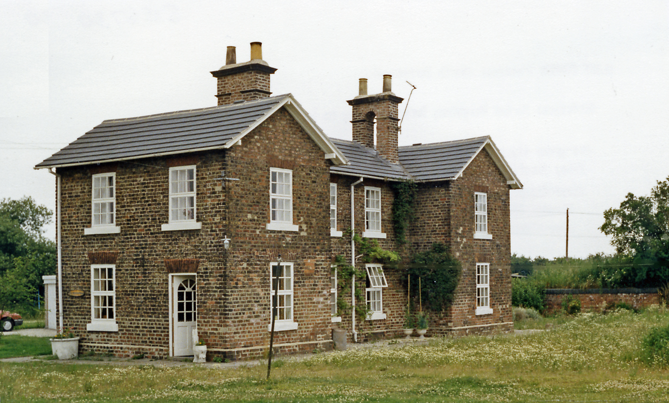
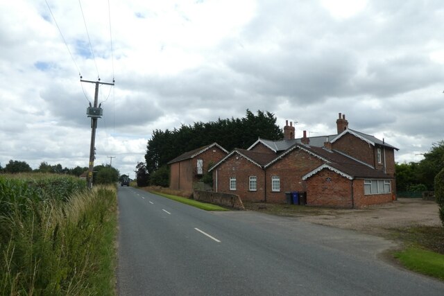
Cliffe Common railway station
Cliffe Common railway station, also known as Cliff Common, formerly Cliff Common Gate, served the village of Cliffe, Selby, England from 1848 to 1964 on...
Duffield Gate railway station
Duffield Gate railway station was a station on the Selby to Driffield Line in North Yorkshire, England, serving the hamlet of South Duffield. It opened...

Cliffe, Selby
Cliffe is a small village and civil parish in North Yorkshire, England. It was historically part of the East Riding of Yorkshire until 1974, but from...

Hemingbrough railway station
Cliff railway station was opened in 1840 as an original station of the Hull and Selby Railway. It was renamed Hemingbrough railway station in 1874. The...

Osgodby, Barlby with Osgodby
Osgodby is a village in the civil parish of Barlby with Osgodby, in North Yorkshire, England, 2 miles (3.2 km) from Selby. Its neighbouring village is...

Barlby with Osgodby
Barlby with Osgodby is a civil parish in the Selby district of North Yorkshire, England, just to the north of Selby. The parish covers Barlby and Osgodby...

Menthorpe Gate railway station
Menthorpe Gate railway station was a station on the Selby to Driffield Line in North Yorkshire, England serving the village of North Duffield and the hamlets...

Barlby
Barlby is a linear village in the civil parish of Barlby with Osgodby, in North Yorkshire, England. It is situated 2 miles (3 km) to the north-east of...
Nearby Amenities
Located within 500m of 53.795332,-0.99181963Have you been to Cliffe Common?
Leave your review of Cliffe Common below (or comments, questions and feedback).