Clanna
Settlement in Gloucestershire Forest of Dean
England
Clanna
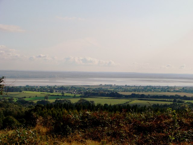
Clanna is a small village located in the county of Gloucestershire, England. Situated in the South West region of the country, it lies approximately 12 miles southeast of the city of Gloucester. The village is nestled in the picturesque countryside, surrounded by lush green fields and rolling hills.
Known for its quaint charm and rural appeal, Clanna offers a peaceful and tranquil setting for its residents. The village is home to a close-knit community, with a population of around 500 people. The residents take great pride in their village and actively participate in various community events and initiatives.
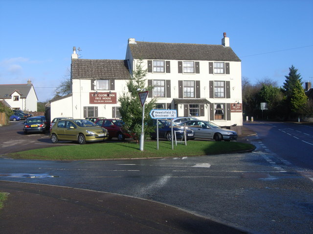
Clanna boasts a range of amenities to cater to the needs of its residents. These include a village shop, a post office, and a local pub, which serves as a social hub for the community. The village also has a primary school, providing education for the local children.
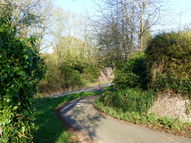
The surrounding natural beauty of Clanna offers numerous outdoor recreational opportunities. The village is surrounded by picturesque walking trails and cycling routes, allowing residents and visitors to explore the stunning countryside. Additionally, the nearby rivers and lakes provide opportunities for fishing and boating enthusiasts.
Clanna is well-connected to the wider region by road, with easy access to the nearby towns and cities. The village also benefits from regular bus services, providing convenient transport links for those who commute or wish to explore the surrounding areas.
In summary, Clanna is a charming village in Gloucestershire, offering a peaceful and idyllic setting for its residents. With its close-knit community, range of amenities, and beautiful countryside, Clanna is a place that exudes a sense of rural tranquility.
If you have any feedback on the listing, please let us know in the comments section below.
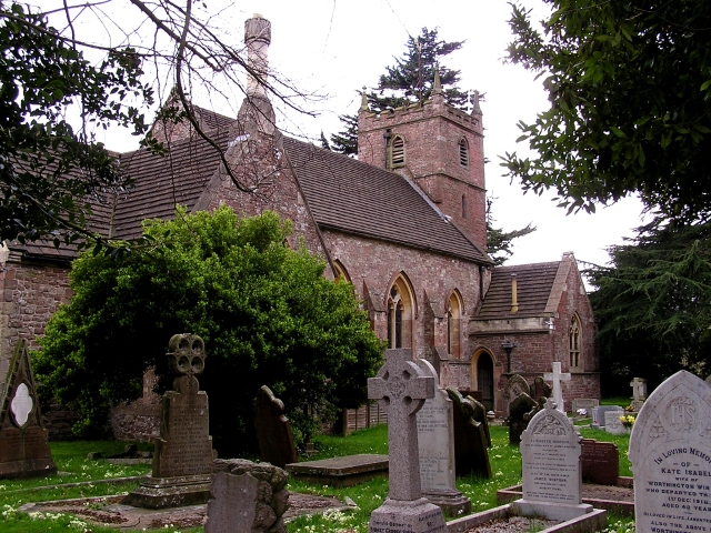
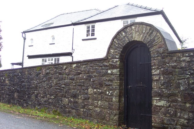
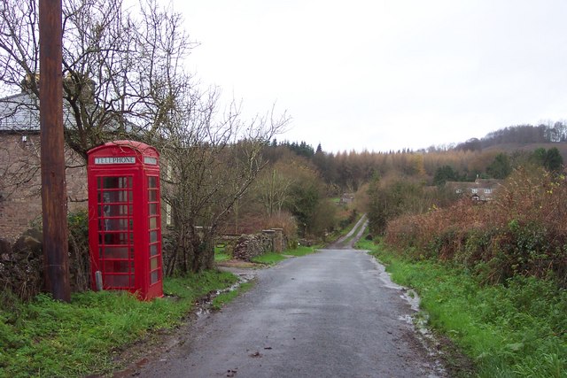
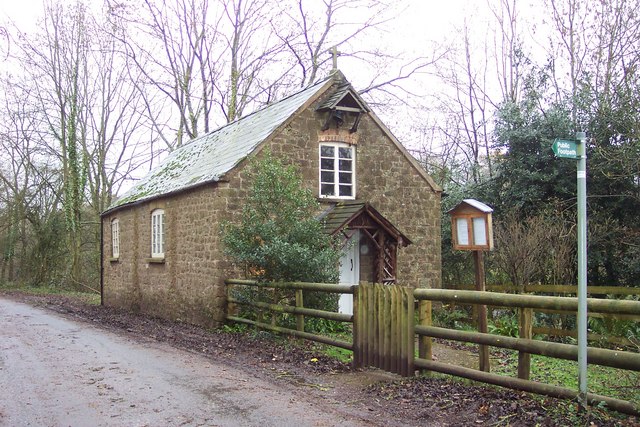
Clanna Images
Images are sourced within 2km of 51.717382/-2.5925809 or Grid Reference SO5902. Thanks to Geograph Open Source API. All images are credited.


Clanna is located at Grid Ref: SO5902 (Lat: 51.717382, Lng: -2.5925809)
Administrative County: Gloucestershire
District: Forest of Dean
Police Authority: Gloucestershire
What 3 Words
///prune.jazzy.recap. Near Bream, Gloucestershire
Nearby Locations
Related Wikis

Alvington, Gloucestershire
Alvington is a village and civil parish in the Forest of Dean in Gloucestershire, England, situated on the A48 road, six miles north-east of Chepstow in...

Woolaston
Woolaston is a village and civil parish in the Forest of Dean district of Gloucestershire in South West England. It lies on the north side of the Severn...

Hewelsfield
Hewelsfield is a village in Hewelsfield and Brockweir civil parish, in the Forest of Dean district of Gloucestershire, England. The village is located...

Hewelsfield Motte
The Hewelsfield Motte is a roughly circular mound, in Hewelsfield, Gloucestershire, England. It is thought to be a castle motte dating from the period...
Nearby Amenities
Located within 500m of 51.717382,-2.5925809Have you been to Clanna?
Leave your review of Clanna below (or comments, questions and feedback).