Cippin Stone
Settlement in Pembrokeshire
Wales
Cippin Stone

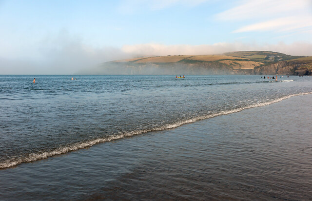
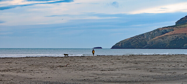
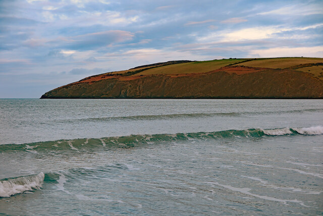
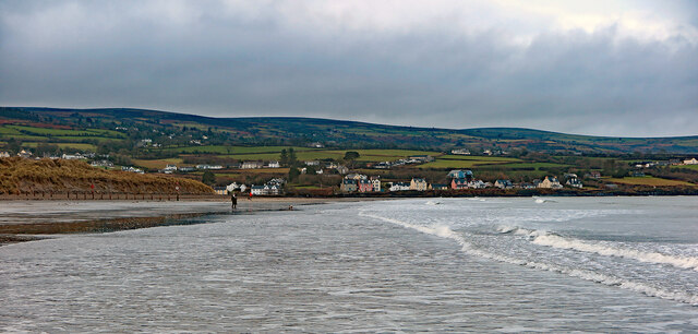
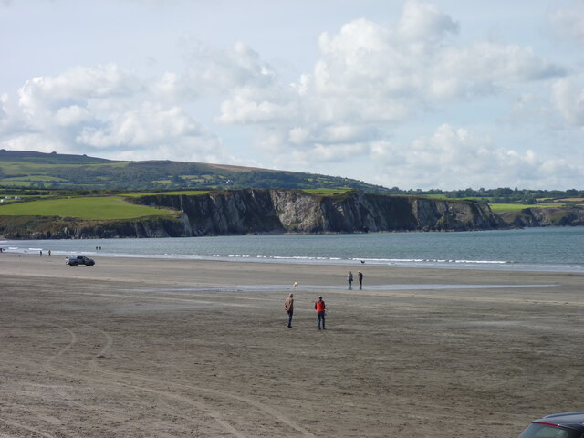
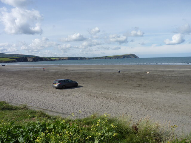
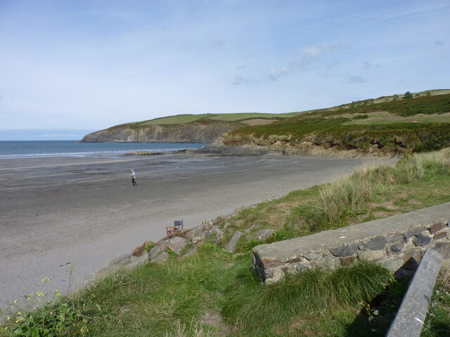
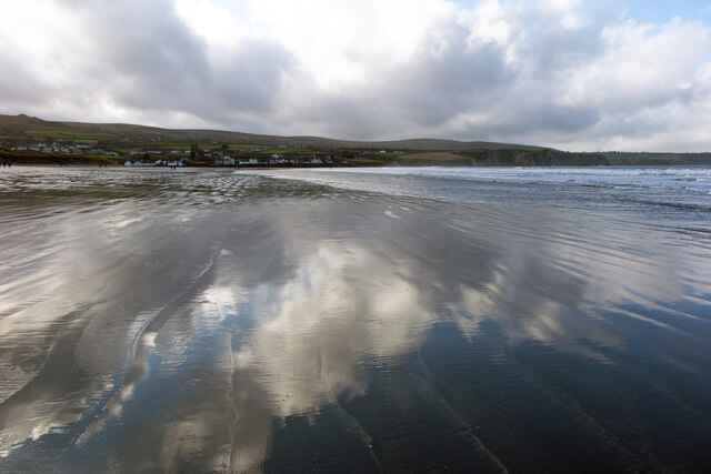
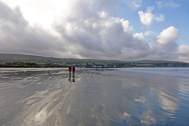
Cippin Stone is a small coastal village located in the county of Pembrokeshire, Wales. Situated on the western edge of the country, it is known for its picturesque setting and charming atmosphere. The village is nestled between rugged cliffs and the stunning Pembrokeshire Coast National Park, offering breathtaking views of the surrounding natural beauty.
Cippin Stone is home to a small community, with a population of around 300 residents. The village has a rich history, dating back to ancient times, and evidence of early human settlements can be found in the area. The name "Cippin Stone" is derived from a large standing stone that stands at the entrance of the village, believed to have been erected during the Bronze Age.
The village is popular among tourists who visit to explore the unspoiled beaches and hiking trails that surround it. The nearby Pembrokeshire Coast Path offers visitors the opportunity to take in the stunning coastal scenery, with panoramic views of the sea and cliffs.
Cippin Stone has a few amenities to cater to both residents and visitors. There is a small convenience store, a local pub, and a handful of bed and breakfast accommodations. For more extensive facilities, the nearby town of St. Davids is just a short drive away.
Overall, Cippin Stone offers a peaceful retreat for those seeking a tranquil coastal getaway, with its scenic location and friendly community.
If you have any feedback on the listing, please let us know in the comments section below.
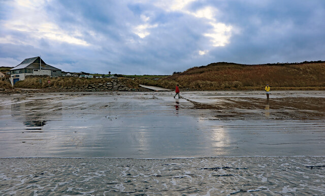
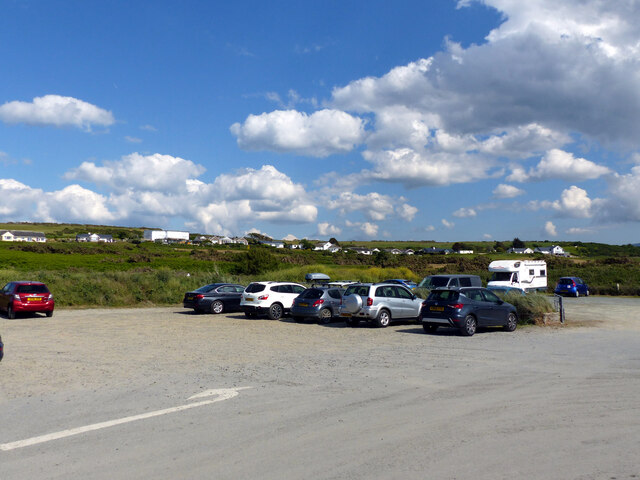
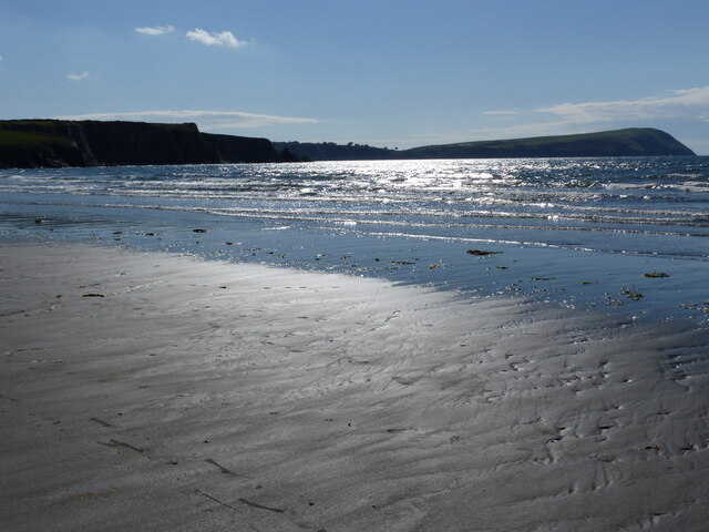
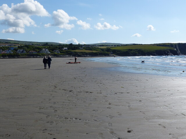
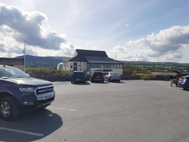
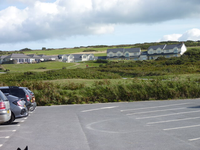
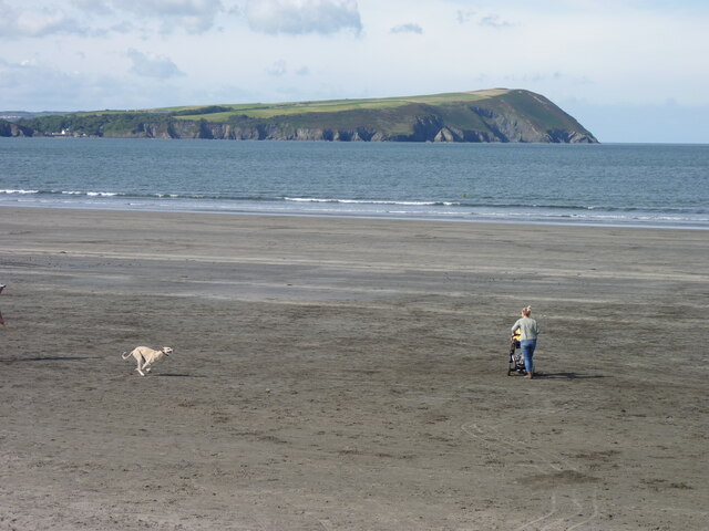
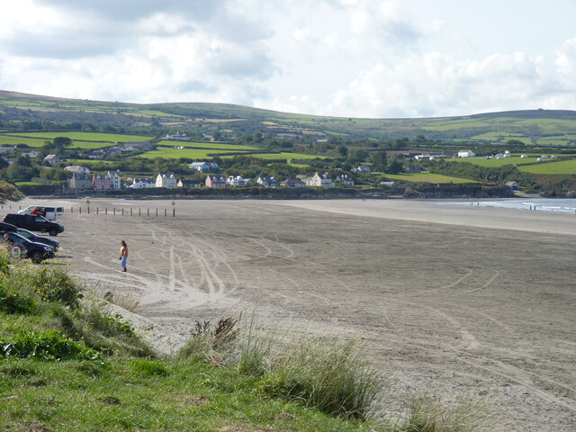
Cippin Stone Images
Images are sourced within 2km of 52.018494/-4.8476851 or Grid Reference SN0439. Thanks to Geograph Open Source API. All images are credited.
Cippin Stone is located at Grid Ref: SN0439 (Lat: 52.018494, Lng: -4.8476851)
Unitary Authority: Pembrokeshire
Police Authority: Dyfed Powys
What 3 Words
///eyebrows.pheasants.truly. Near Newport, Pembrokeshire
Nearby Locations
Related Wikis

River Nevern
The River Nevern (Welsh: Afon Nyfer) is a river in Pembrokeshire, Wales. Its source is north of the village of Crymych and its length is about 11 miles...
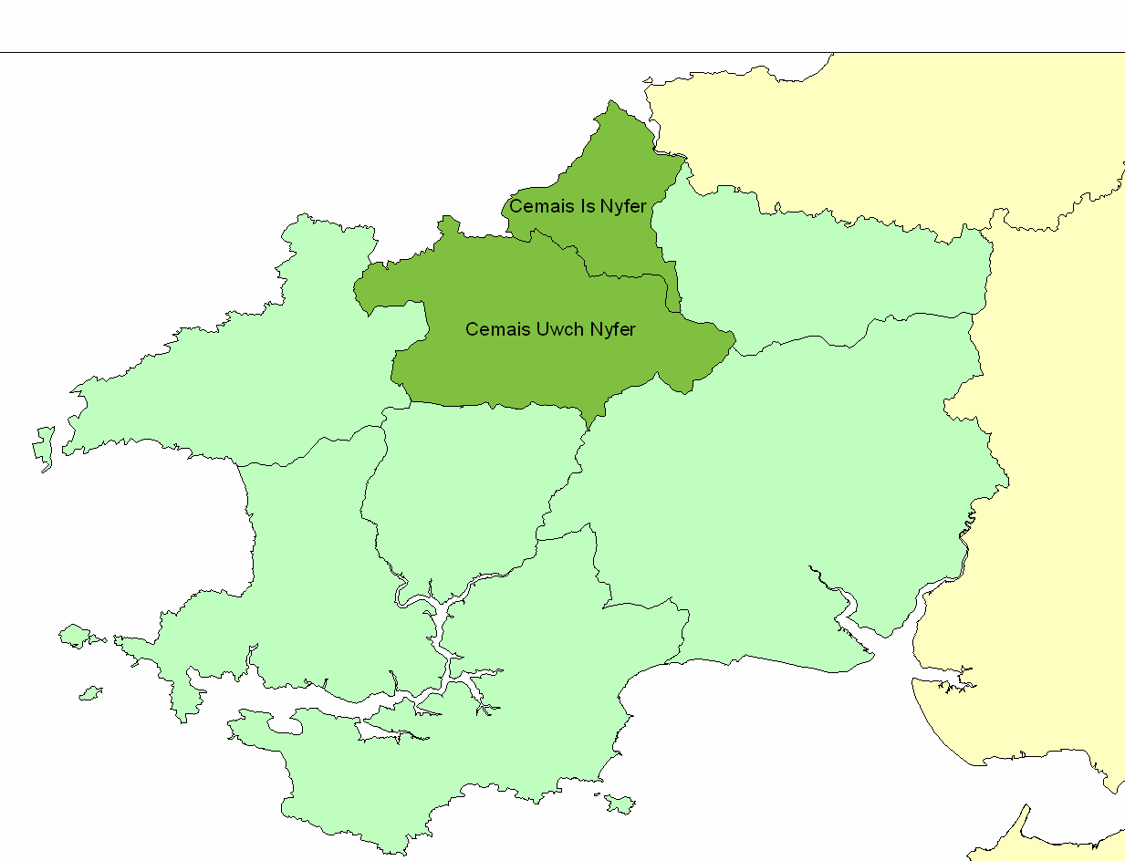
Cemais Is Nyfer
Cemais Is Nyfer was a mediaeval commote in the Dyfed cantref of Cemais, Wales. It consisted of the territory between the rivers Nyfer and Teifi, and comprised...

Newport, Pembrokeshire
Newport (Welsh: Trefdraeth, meaning: "town by the beach") is a town, community, electoral ward and ancient port of Parrog, on the Pembrokeshire coast in...

Cnapan Hotel
Cnapan, also known variously as Cnapan Country House or Cnapan Restaurant and Bed & Breakfast, is a Grade II listed hotel and restaurant in Newport, Pembrokeshire...

Carreg Coetan Arthur
Carreg Coetan Arthur is a neolithic dolmen near Newport in North Pembrokeshire, Wales.Carreg Coetan Arthur dates from around 3000 BC and is the remains...
Newport Bay (Wales)
Newport Bay (Welsh: Bae Trefdraeth) is a bay on a section of the north Pembrokeshire coast, Wales, which is within the Pembrokeshire Coast National Park...

Carn Ingli
Carn Ingli (Welsh: [karn ˈɪŋli]) is a Site of Special Scientific Interest (SSSI) in the Preseli Hills, Pembrokeshire, Wales. It was designated a SSSI in...

Felin Llwyngwair
Felin Llwyngwair is a Site of Special Scientific Interest (or SSSI) near Newport in Pembrokeshire, South Wales. It was designated a SSSI (ID2580, code...
Nearby Amenities
Located within 500m of 52.018494,-4.8476851Have you been to Cippin Stone?
Leave your review of Cippin Stone below (or comments, questions and feedback).