Church End

Settlement in Essex Uttlesford

England

Church End

A120, eastbound The A120 is a trunk road that runs east-west across East Anglia from Harwich to Puckeridge, 63 miles in length. It follows the route of the Roman Road, Stane Street. <span class="nowrap"><a title="http://www.sabre-roads.org.uk/wiki/index.php?title=A120" rel="nofollow ugc noopener" href="http://www.sabre-roads.org.uk/wiki/index.php?title=A120">Link</a><img style="margin-left:2px;" alt="External link" title="External link - shift click to open in new window" src="https://s1.geograph.org.uk/img/external.png" width="10" height="10"/></span>
A120, eastbound Credit: N Chadwick

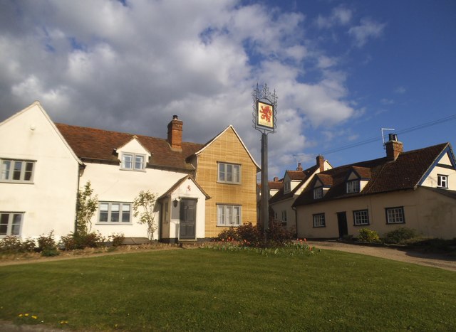
Church End is a small village located in Essex, England. It is situated near the town of Dunmow and is surrounded by picturesque countryside. The village gets its name from the church that stands at its center, St. Mary the Virgin Church, which dates back to the 12th century.

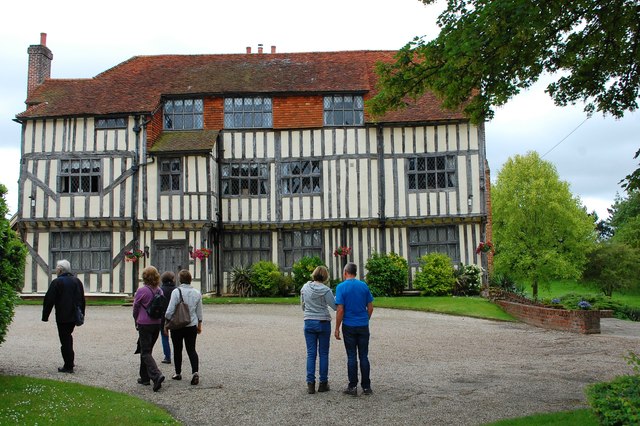
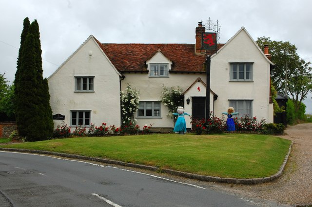
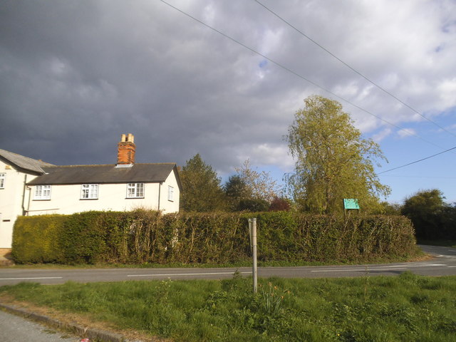
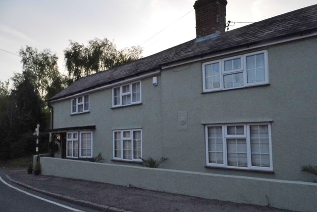
Church End is a quaint and charming village with a close-knit community. The village is made up of traditional English cottages, some of which are listed buildings, giving it a historic and timeless feel. The village also has a village hall, a pub, and a primary school, making it a self-sufficient community.

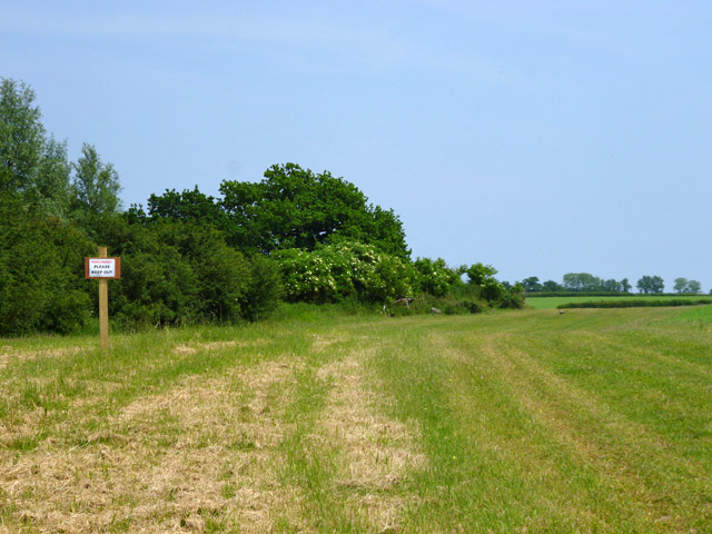
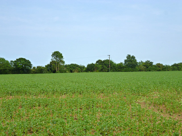
The surrounding countryside offers plenty of opportunities for outdoor activities such as walking, cycling, and horseback riding. The village is also close to several nature reserves and parks, providing residents with ample green spaces to enjoy.

Overall, Church End is a peaceful and idyllic village that offers a perfect blend of rural charm and modern amenities. It is a great place for those looking for a quiet and tranquil lifestyle in the English countryside.

If you have any feedback on the listing, please let us know in the comments section below.
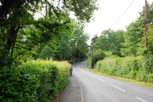
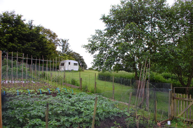
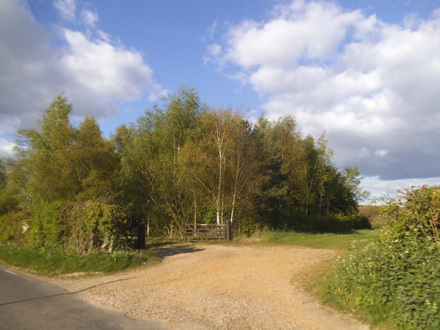
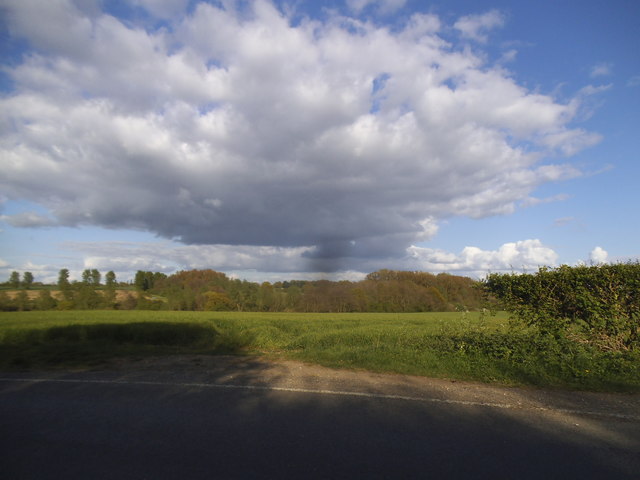
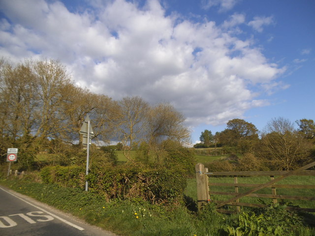
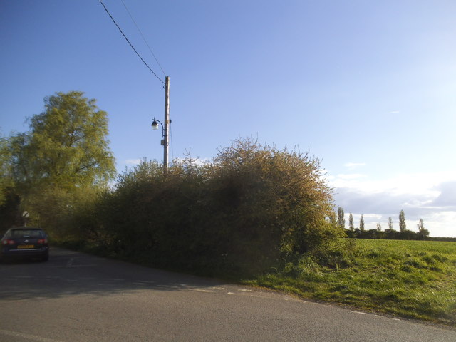
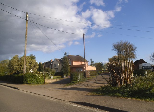
Church End Images

Images are sourced within 2km of 51.889482/0.41672911 or Grid Reference TL6623. Thanks to Geograph Open Source API. All images are credited.

A120, eastbound The A120 is a trunk road that runs east-west across East Anglia from Harwich to Puckeridge, 63 miles in length. It follows the route of the Roman Road, Stane Street. <span class="nowrap"><a title="http://www.sabre-roads.org.uk/wiki/index.php?title=A120" rel="nofollow ugc noopener" href="http://www.sabre-roads.org.uk/wiki/index.php?title=A120">Link</a><img style="margin-left:2px;" alt="External link" title="External link - shift click to open in new window" src="https://s1.geograph.org.uk/img/external.png" width="10" height="10"/></span>
A120, eastbound
The A120 is a trunk road that runs east-west across East Anglia from Harwich to Puckeridge, 63 miles in length. It follows the route of the Roman Road, Stane Street. LinkExternal link
Stebbing Road Bridge, A120 The A120 is a trunk road that runs east-west across East Anglia from Harwich to Puckeridge, 63 miles in length. It follows the route of the Roman Road, Stane Street. <span class="nowrap"><a title="http://www.sabre-roads.org.uk/wiki/index.php?title=A120" rel="nofollow ugc noopener" href="http://www.sabre-roads.org.uk/wiki/index.php?title=A120">Link</a><img style="margin-left:2px;" alt="External link" title="External link - shift click to open in new window" src="https://s1.geograph.org.uk/img/external.png" width="10" height="10"/></span>
Stebbing Road Bridge, A120
The A120 is a trunk road that runs east-west across East Anglia from Harwich to Puckeridge, 63 miles in length. It follows the route of the Roman Road, Stane Street. LinkExternal link
Private property  Please keep out And a hand addition beneath is 'Essex Farms'. These are frequently encountered in this area by those straying from the right-of-way. In this case there is a good excuse - you have to stray some way to actually read the sign.
Private property Please keep out
And a hand addition beneath is 'Essex Farms'. These are frequently encountered in this area by those straying from the right-of-way. In this case there is a good excuse - you have to stray some way to actually read the sign.
A field of beans Between the new and old A120, the latter, the ancient Stane Street, now B1256.
A field of beans
Between the new and old A120, the latter, the ancient Stane Street, now B1256.
Prior's Hall, Stebbing A fine half-timbered house dating from the 16th century or earlier. The Knights Hospitaller had a hall here and this became one of the three manor houses of Stebbing. Here seen on an open gardens day.
Prior's Hall, Stebbing
A fine half-timbered house dating from the 16th century or earlier. The Knights Hospitaller had a hall here and this became one of the three manor houses of Stebbing. Here seen on an open gardens day.
The Red Lion One of the former pubs in Stebbing - of which there were several with just one; the White Hart, still operating. This building stands at the end of Watch House Road.
The Red Lion
One of the former pubs in Stebbing - of which there were several with just one; the White Hart, still operating. This building stands at the end of Watch House Road.
High Street, Stebbing North of the main village approaching Bran End.
High Street, Stebbing
North of the main village approaching Bran End.
Allotments at Bran End On Brick Kiln Lane.
Allotments at Bran End
On Brick Kiln Lane.
Stebbing Road meets B1256 The B1256 was formerly the A120, it largely follows a Roman route towards Colchester. A foggy morning with no long distance views available, so instead, some teasels.
Stebbing Road meets B1256
The B1256 was formerly the A120, it largely follows a Roman route towards Colchester. A foggy morning with no long distance views available, so instead, some teasels.
The B1256 Braintree Road, Throws
Copse on Brookend
Copse on Brookend
Field by Brookend
Field by Brookend
Field by Stebbing Brook
Red Lion House, Stebbing No guesses what it was before a house.
Red Lion House, Stebbing
No guesses what it was before a house.
Collops Road, Stebbing
Houses on Warehouse Road, Stebbing
New Pasture Lane, Stebbing
House on the B1057, Bran End This was painted blue and added the wall since 2010.
House on the B1057, Bran End
This was painted blue and added the wall since 2010.
Show me another place!

Church End is located at Grid Ref: TL6623 (Lat: 51.889482, Lng: 0.41672911)

Administrative County: Essex

District: Uttlesford

Police Authority: Essex

What 3 Words

///agents.footpath.chips. Near Little Dunmow, Essex

Nearby Locations

Church End

Related Wikis

Stebbing

Stebbing is a small village in the Uttlesford district of northern Essex, England. The village is situated north of the ancient Roman road Stane Street...

Bran End

Bran End is a village in Essex, England. == External links == Media related to Bran End at Wikimedia Commons

Stebbing Green

Stebbing Green is a hamlet in the Uttlesford district, in the county of Essex. It is near the village of Stebbing; its post town is Dunmow. It is near...

Andrewsfield Aerodrome

Andrewsfield Aerodrome (ICAO: EGSL) is located 4 NM (7.4 km; 4.6 mi) west northwest of Braintree, Essex, England, formerly RAF Andrews Field. Both the...

Nearby Amenities

Located within 500m of 51.889482,0.41672911
Post Box
Brand: Royal Mail
Brand Wikidata: Q638098
Brand Wikipedia: en:Royal Mail
Drive Through: no
Operator: Royal Mail
Operator Wikidata: Q638098
Post Box Type: lamp
Source: gps survey
Lat/Long: 51.8927742/0.4122969
Stebbing Shop
Shop: convenience
Source: gps survey
Lat/Long: 51.8928052/0.412234
Post Box
Brand: Royal Mail
Brand Wikidata: Q638098
Brand Wikipedia: en:Royal Mail
Drive Through: no
Operator: Royal Mail
Operator Wikidata: Q638098
Post Box Type: lamp
Source: gps survey
Lat/Long: 51.8893692/0.416721
Bus Stop
The White Hart
Bus: yes
Naptan AtcoCode: 1500IM2114
Naptan Bearing: NW
Naptan BusStopType: CUS
Naptan CommonName: The White Hart
Naptan Indicator: o/s
Naptan Landmark: The White Hart
Naptan NaptanCode: esxdgwmj
Naptan Street: High Street
Naptan Verified: no
Public Transport: platform
Source: naptan_import
Lat/Long: 51.8922022/0.4129286
Bus Stop
The White Hart
Bus: yes
Naptan AtcoCode: 1500IM2114AA
Naptan Bearing: SE
Naptan BusStopType: CUS
Naptan CommonName: The White Hart
Naptan Indicator: Opp
Naptan Landmark: The White Hart
Naptan NaptanCode: esxgpgad
Naptan Street: High Street
Naptan Verified: no
Public Transport: platform
Source: naptan_import
Lat/Long: 51.8922367/0.4130031
Designation: public_footpath
Prow Ref: Stebbing FP 40
Lat/Long: 51.8881505/0.4104208
Parking
Lat/Long: 51.8915753/0.4120951
Barrier: stile
Note: this stile is a fence of three metal bars, not a conventional stile
Stile: stepover
Lat/Long: 51.8878389/0.4120758
Church End
Place: hamlet
Lat/Long: 51.889961/0.4189135
Bus Stop
Ruffels Place
Bus: yes
Naptan AtcoCode: 1500TMP001
Naptan BusStopType: CUS
Naptan NaptanCode: esxjpmpa
Naptan Verified: no
Public Transport: platform
Source: naptan
Lat/Long: 51.8894753/0.4165332
Generator Method: photovoltaic
Generator Output Electricity: yes
Generator Source: solar
Generator Type: solar_photovoltaic_panel
Location: roof
Power: generator
Lat/Long: 51.8911727/0.4152161
Generator Method: photovoltaic
Generator Output Electricity: yes
Generator Source: solar
Generator Type: solar_photovoltaic_panel
Location: roof
Power: generator
Lat/Long: 51.8908349/0.4227063
Bus Stop
Ruffels Place
Bus: yes
Naptan AtcoCode: 1500TMP001B
Naptan BusStopType: CUS
Naptan NaptanCode: esxjptdm
Naptan Verified: no
Public Transport: platform
Source: naptan
Lat/Long: 51.8894076/0.4165071
Information: route_marker
Lat/Long: 51.8888873/0.4106992
Information: route_marker
Lat/Long: 51.8919274/0.4116621
Defibrillator
Access: yes
Booth: K6
Covered: booth
Defibrillator Location: In an old red BT phone box
Disused Amenity: telephone
Emergency: defibrillator
Listed Status: Grade II
Man Made: telephone_box
Lat/Long: 51.8908853/0.4145709
Historic: monument
Lat/Long: 51.8893724/0.4156972
Man Made: village_sign
Lat/Long: 51.8907559/0.421761
The data included in this document is from www.openstreetmap.org. The data is made available under ODbL.

Have you been to Church End?

Leave your review of Church End below (or comments, questions and feedback).