Church End
Settlement in Oxfordshire Cherwell
England
Church End
Church End is a small village located in the county of Oxfordshire, England. Situated just four miles northwest of the historic town of Banbury, Church End has a population of around 200 residents. The village is known for its picturesque setting, surrounded by rolling hills and beautiful countryside.
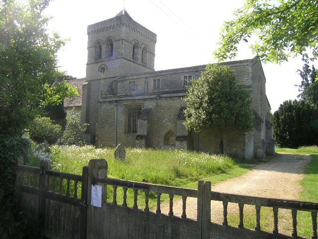
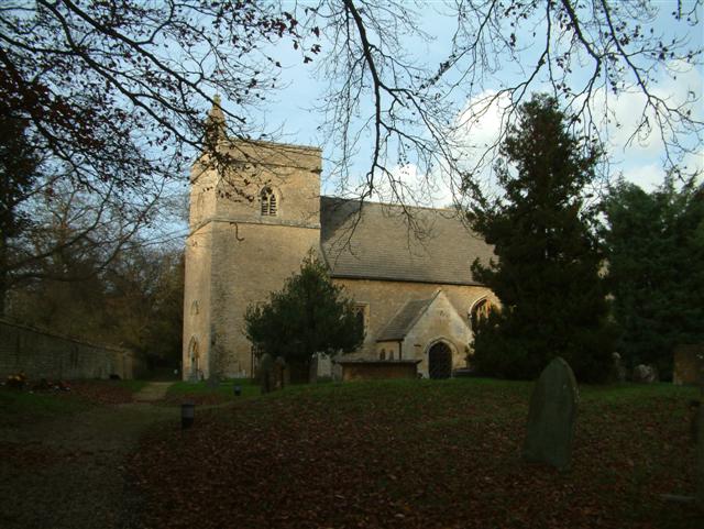
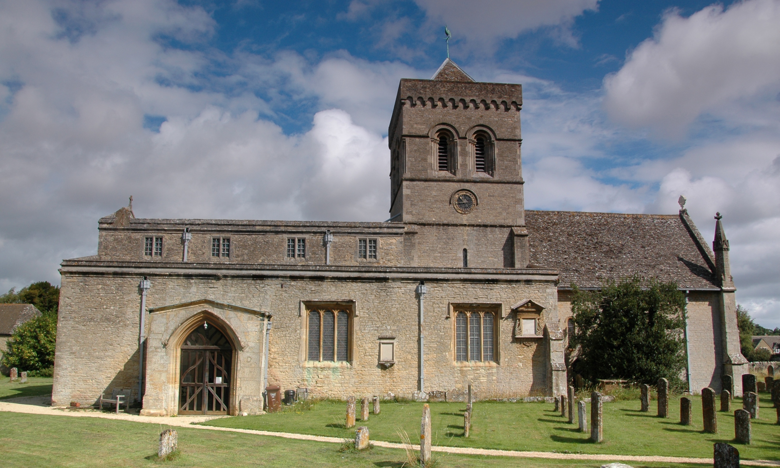
The heart of Church End is its charming village church, St. Peter's Church, which dates back to the 13th century. This historic building is a focal point for the community and holds regular services, providing a place of worship for the villagers.
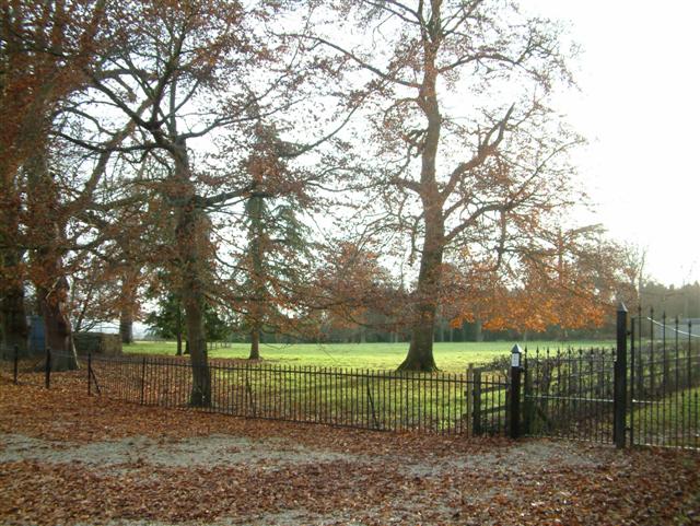
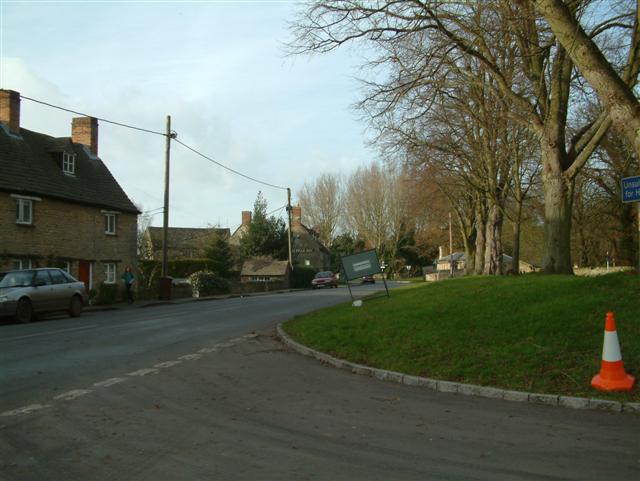
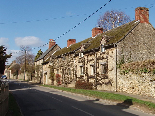
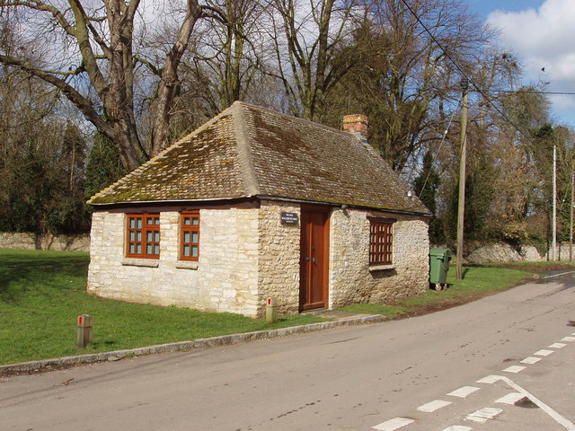
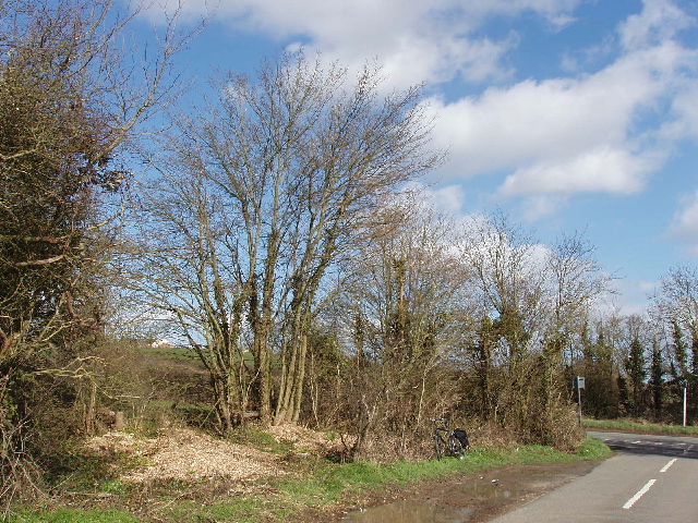
The village itself is characterized by its quaint cottages and traditional architecture, giving it a timeless and idyllic feel. The surrounding landscape offers ample opportunities for outdoor activities, such as walking, cycling, and enjoying the natural beauty of the area.
Although small in size, Church End has a strong sense of community, with various events and activities organized throughout the year. These include community fairs, charity fundraisers, and social gatherings, providing residents with an opportunity to come together and celebrate.
Despite its peaceful and rural ambiance, Church End benefits from its proximity to Banbury, which offers a wider range of amenities and services, including shops, schools, and healthcare facilities. The village is also well-connected, with good road links to nearby towns and cities, making it an attractive place to live for those seeking a tranquil countryside setting within reach of urban conveniences.
Overall, Church End, Oxfordshire is a charming and close-knit village, offering a peaceful and picturesque lifestyle amidst the stunning countryside of Oxfordshire.
If you have any feedback on the listing, please let us know in the comments section below.
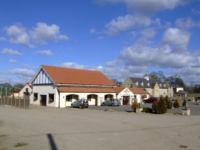
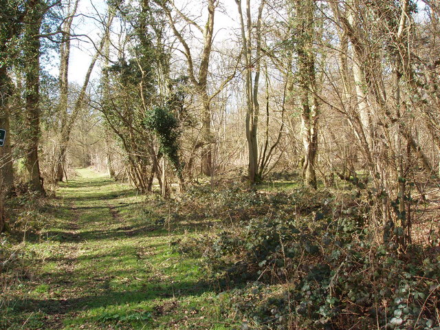
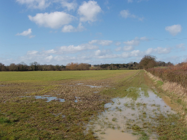
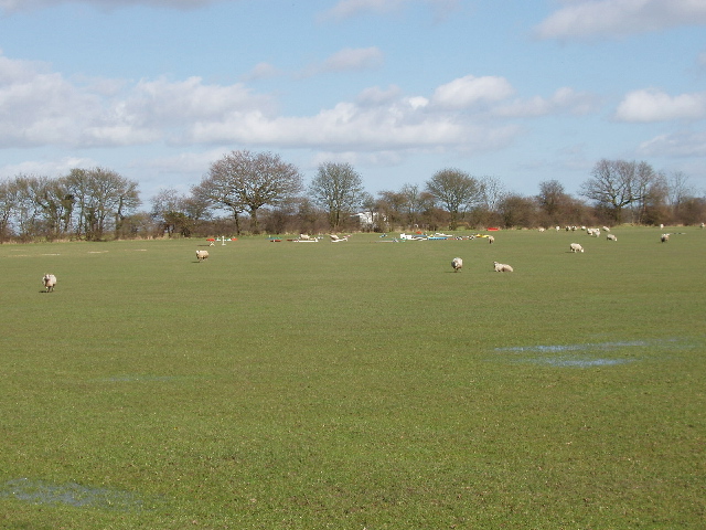
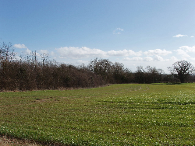
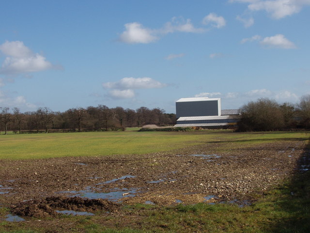
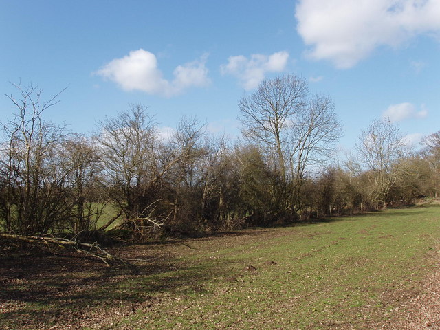
Church End Images
Images are sourced within 2km of 51.857151/-1.2639333 or Grid Reference SP5017. Thanks to Geograph Open Source API. All images are credited.


Church End is located at Grid Ref: SP5017 (Lat: 51.857151, Lng: -1.2639333)
Administrative County: Oxfordshire
District: Cherwell
Police Authority: Thames Valley
What 3 Words
///eyeful.magnum.broadcast. Near Kidlington, Oxfordshire
Nearby Locations
Related Wikis

Bletchingdon Park
Bletchington Park is a Grade II* listed Palladian country house in Bletchingdon, Oxfordshire. == History == Bletchington's medieval manor house was rebuilt...

Bletchingdon
Bletchingdon (also known as Bletchington) is a village and civil parish 2 miles (3 km) north of Kidlington and 6 miles (10 km) southwest of Bicester in...
Kirtlington
Kirtlington is a village and civil parish in Oxfordshire about 6+1⁄2 miles (10.5 km) west of Bicester. The parish includes the hamlet of Northbrook. The...

Ploughley Rural District
Ploughley was a rural district in Oxfordshire, England, from 1932 to 1974. It entirely surrounded Bicester but did not include it. It was created in 1932...

Hampton Gay and Poyle
Hampton Gay and Poyle is a civil parish in Oxfordshire, England. It was formed in 1932 by merger of the parishes of Hampton Gay (grid reference SP4816...

Weston Fen, Oxfordshire
Weston Fen is a 14-hectare (35-acre) biological Site of Special Scientific Interest north of Weston-on-the-Green in Oxfordshire.This site has diverse habitats...

Kirtlington Quarry
Kirtlington Quarry is a 3.1-hectare (7.7-acre) geological Site of Special Scientific Interest west of Kirtlington in Oxfordshire. It is a Geological Conservation...

Hampton Poyle
Hampton Poyle is a village in the civil parish of Hampton Gay and Poyle, in the Cherwell district, in the county of Oxfordshire, England. It is the Cherwell...
Nearby Amenities
Located within 500m of 51.857151,-1.2639333Have you been to Church End?
Leave your review of Church End below (or comments, questions and feedback).