Maligar

Settlement in Inverness-shire

Scotland

Maligar

Modern home in Elishadder Stark image in the landscape
Modern home in Elishadder Credit: Andrew Abbott

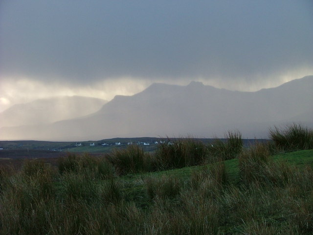
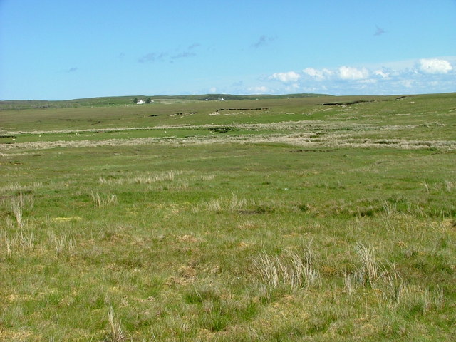
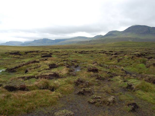
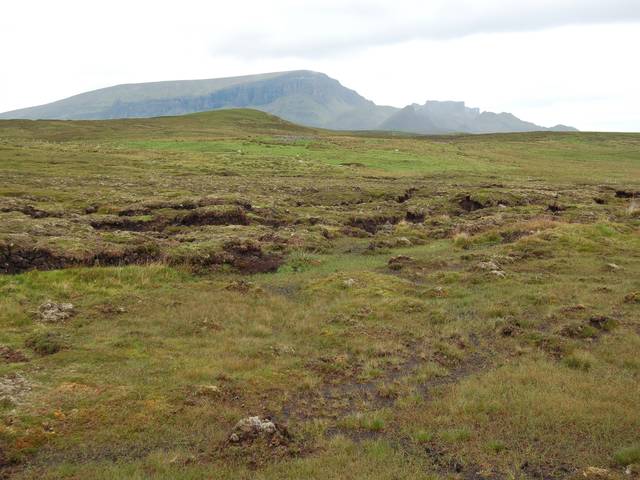
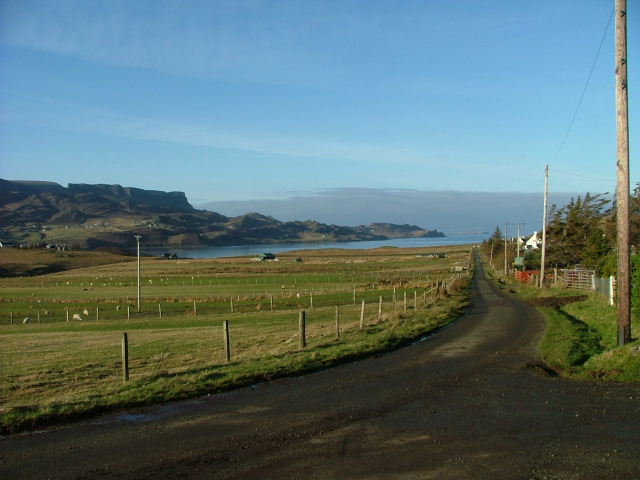
Maligar is a small village located in Inverness-shire, Scotland. Situated in the Scottish Highlands, it is nestled in a picturesque landscape, surrounded by rolling hills and stunning natural beauty. The village is part of the Highland council area and falls within the Badenoch and Strathspey parliamentary constituency.

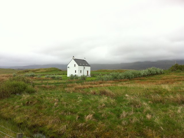
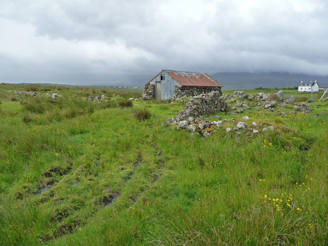
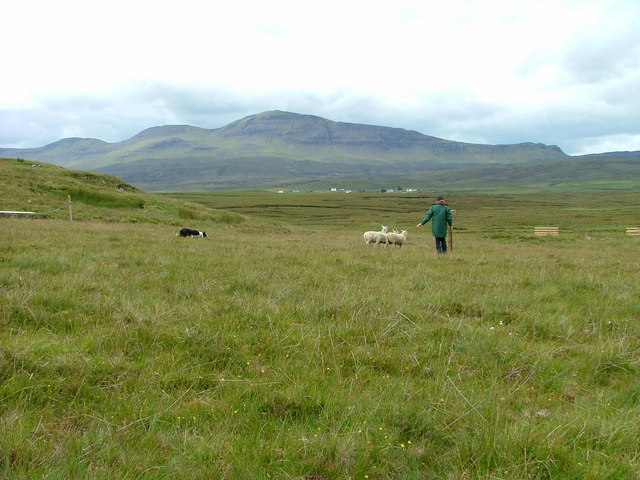
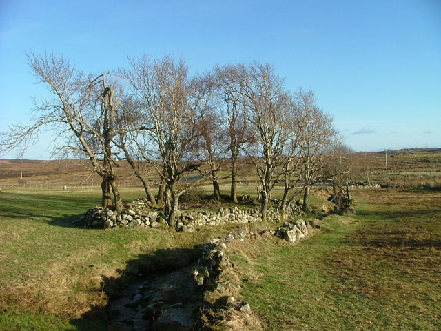
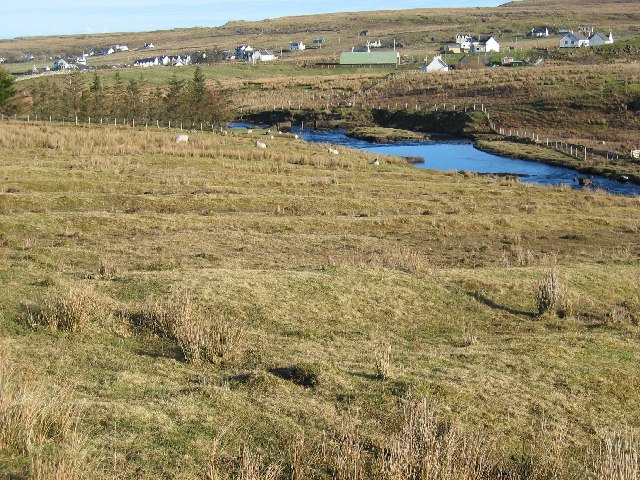
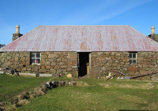
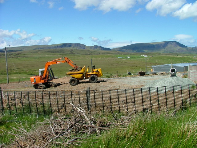
With a population of around 300 residents, Maligar maintains a close-knit community atmosphere. The village is predominantly residential, consisting of traditional stone houses and cottages that add to its charming character. The local economy is primarily reliant on agriculture and tourism, due to the region's rich natural resources and captivating scenery.

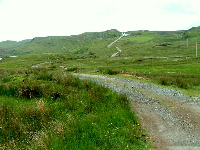
Maligar is well-connected to nearby towns and cities, with good transport links allowing easy access to Inverness, the capital of the Highlands. The village enjoys a peaceful and tranquil ambiance, making it an ideal location for those seeking an escape from the hustle and bustle of urban life.

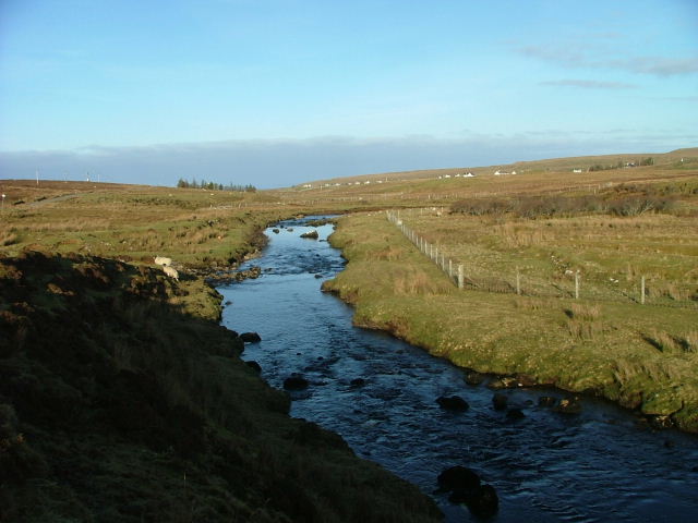
For outdoor enthusiasts, Maligar offers numerous opportunities for exploration and adventure. The surrounding area is renowned for its picturesque walking trails, cycling routes, and fishing spots. The nearby Caledonian Canal provides a popular route for boating and sailing, attracting both locals and tourists alike.

In terms of amenities, Maligar boasts a local shop and a village hall that serves as a social hub for various community events and gatherings. The village also benefits from its proximity to nearby attractions such as Loch Ness and the Cairngorms National Park, which offer a range of recreational activities and cultural experiences.

In summary, Maligar is a tranquil village nestled in the breathtaking Scottish Highlands. With its close-knit community, stunning natural surroundings, and access to nearby attractions, it offers a peaceful retreat for those seeking a slower pace of life and a deep appreciation for nature.

If you have any feedback on the listing, please let us know in the comments section below.
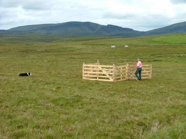
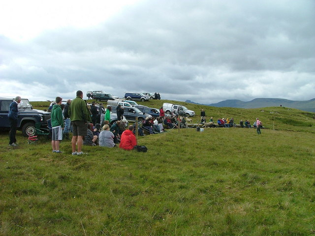
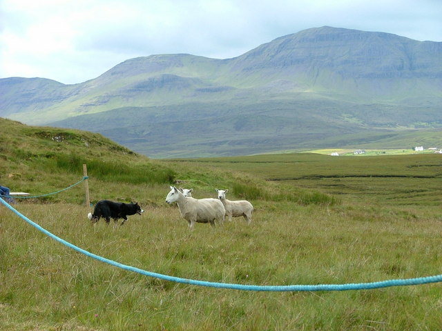
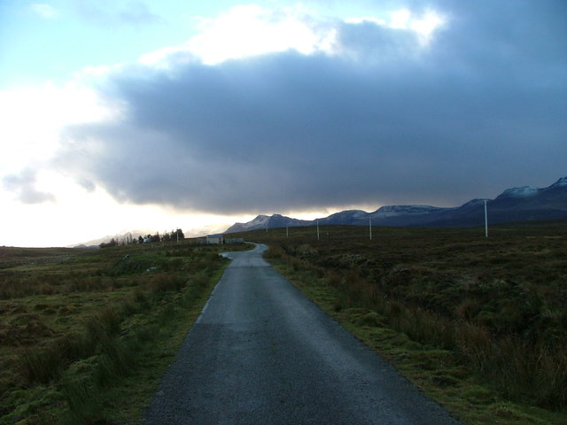
Maligar Images

Images are sourced within 2km of 57.604441/-6.2159677 or Grid Reference NG4864. Thanks to Geograph Open Source API. All images are credited.

Modern home in Elishadder Stark image in the landscape
Modern home in Elishadder
Stark image in the landscape
Track to Raisaburgh In the township of Ellishadder.
Track to Raisaburgh
In the township of Ellishadder.
Shed at Ellishadder The base is very old stonework, topped by a more recent structure in corrugated iron.
Shed at Ellishadder
The base is very old stonework, topped by a more recent structure in corrugated iron.
Sheepdog trials at Ellishadder This is day six of the Hebridean Circuit Sheepdog Trials held on Ellishadder Common Grazings. Proceeds go to Skye Cancer Care.
Sheepdog trials at Ellishadder
This is day six of the Hebridean Circuit Sheepdog Trials held on Ellishadder Common Grazings. Proceeds go to Skye Cancer Care.
Watching the sheepdog trials At Ellishadder. This is day six of the Hebridean Circuit Sheepdog Trials held on Ellishadder Common Grazings. Proceeds go to Skye Cancer Care.
Watching the sheepdog trials
At Ellishadder. This is day six of the Hebridean Circuit Sheepdog Trials held on Ellishadder Common Grazings. Proceeds go to Skye Cancer Care.
Stand off This ewe refused to be intimidated by the dog and stood its ground for so long that the shepherd suffered a time out. This is day six of the Hebridean Circuit Sheepdog Trials held on Ellishadder Common Grazings. Proceeds go to Skye Cancer Care.
Stand off
This ewe refused to be intimidated by the dog and stood its ground for so long that the shepherd suffered a time out. This is day six of the Hebridean Circuit Sheepdog Trials held on Ellishadder Common Grazings. Proceeds go to Skye Cancer Care.
Minor road to Maligar, Marishader and Garros This dead end road runs south from Staffin.
Minor road to Maligar, Marishader and Garros
This dead end road runs south from Staffin.
Storm approaching Maligar The Trotternish Ridge appears to bearing the brunt.
Storm approaching Maligar
The Trotternish Ridge appears to bearing the brunt.
Trees and Drystane Dyke Trees round an old enclosure in the crofting township of Maligar
Trees and Drystane Dyke
Trees round an old enclosure in the crofting township of Maligar
Kilmartin River Flowing towards Staffin in the distance
Kilmartin River
Flowing towards Staffin in the distance
Lazy Beds by the Kilmartin River On the nearside of the river are visible lazy beds, or feannagan, used until around 100 years ago to improve the soil depth and quality for arable crofting.
Lazy Beds by the Kilmartin River
On the nearside of the river are visible lazy beds, or feannagan, used until around 100 years ago to improve the soil depth and quality for arable crofting.
Old House at Ellishadder No longer lived in, but still well used.
Old House at Ellishadder
No longer lived in, but still well used.
Construction Site New farm buildings being erected at Marishader.
Construction Site
New farm buildings being erected at Marishader.
Grazing Land near Marishader Looking east towards Raisaburgh.
Grazing Land near Marishader
Looking east towards Raisaburgh.
Peat Bog near Maligar Looking southwest across desolate land towards the Trotternish Ridge.
Peat Bog near Maligar
Looking southwest across desolate land towards the Trotternish Ridge.
Moorland near Maligar Desolate moors on Trotternish. The hill beyond is Meall na Suiramach, which sits above the Quiraing.
Moorland near Maligar
Desolate moors on Trotternish. The hill beyond is Meall na Suiramach, which sits above the Quiraing.
Old Burial Ground In the township of Clachan.
Old Burial Ground
In the township of Clachan.
Show me another place!

Maligar is located at Grid Ref: NG4864 (Lat: 57.604441, Lng: -6.2159677)

Unitary Authority: Highland

Police Authority: Highlands and Islands

Also known as: Malagar

What 3 Words

///bongo.blows.prancing. Near Uig, Highland

Nearby Locations

Maligar Malagar

Related Wikis

Loch Mealt

Loch Mealt is an inland fresh-water loch on the Isle of Skye in Scotland. It lies close to Ellishadder and south of Staffin, on the eastern side of the...

Ellishadder

Ellishadder (Scottish Gaelic: Ealaiseadar) is a crofting township, situated close to the north shore of the freshwater Loch Mealt, on the Trotternish peninsula...

Staffin

Staffin (Scottish Gaelic: Stafain) is a district with the Gaelic name An Taobh Sear, which translates as "the East Side", on the northeast coast of the...

Garafad

Garafad or Garafad, (Scottish Gaelic: An Garradh Fada) is a linear crofting settlement on the east coast of the Trotternish Peninsula of Skye in the...

Related Videos

A beach on the Isle of Skye | Staffin | ชายหาดหนึ่งที่เกาะสกาย สกอตแลนด์ | Nok Scots Life

Thanks for your support. You can also see me at Facebook: https://www.facebook.com/Scots-Life-106010517539648/ ...

Sunset Beach walk in the Isle of Skye | Staffin Beach Ambience | 4K SOUNDSCAPE

Use headphones for the full immersive experience. 3D Binaural Recording. 4K SOUNDSCAPE A sunset beach walk in the Isle of ...

Isle of Skye - Madness

After 10 days of peace, quiet & tranquillity. SKYE! Discovery Roads are on Facebook - https://www.facebook.com/discoveryroads/

Staffin Harbour, Isle of Skye. Kayaking adventure!

Two kayaking buddies and I travelled to the Isle of Skye in Scotland. Specifically a place called "Staffin" on the NE coast.

Nearby Amenities

Located within 500m of 57.604441,-6.2159677
Barrier: cattle_grid
Source: survey
Lat/Long: 57.6057969/-6.2136597
Maligar
Name Gd: Malagar
Place: hamlet
Source: survey
Lat/Long: 57.6030319/-6.2157005
Power: pole
Lat/Long: 57.6071329/-6.2095591
Power: pole
Lat/Long: 57.6065279/-6.2093276
Power: pole
Lat/Long: 57.6057957/-6.2090418
Power: pole
Lat/Long: 57.6051766/-6.2088043
Power: pole
Lat/Long: 57.6045749/-6.2085627
Power: pole
Lat/Long: 57.6037196/-6.2082567
Power: pole
Lat/Long: 57.6030488/-6.2081037
Barrier: cattle_grid
Lat/Long: 57.6048491/-6.2156684
Barrier: cattle_grid
Lat/Long: 57.6053169/-6.2150845
The data included in this document is from www.openstreetmap.org. The data is made available under ODbL.

Have you been to Maligar?

Leave your review of Maligar below (or comments, questions and feedback).