Charlton

Settlement in Wiltshire

England

Charlton

The Rising Sun
The Rising Sun Credit: Roger Cornfoot

Charlton is a small village located in the county of Wiltshire, England. Situated approximately 6 miles south-east of the historic town of Malmesbury, Charlton is nestled amidst the picturesque countryside of the Cotswolds, renowned for its natural beauty.

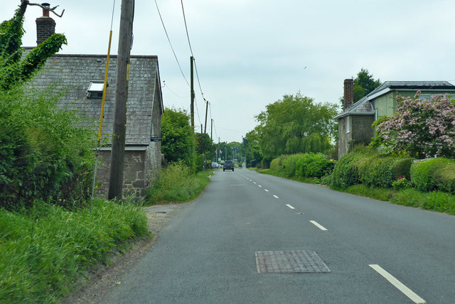
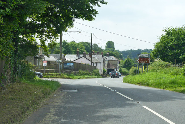
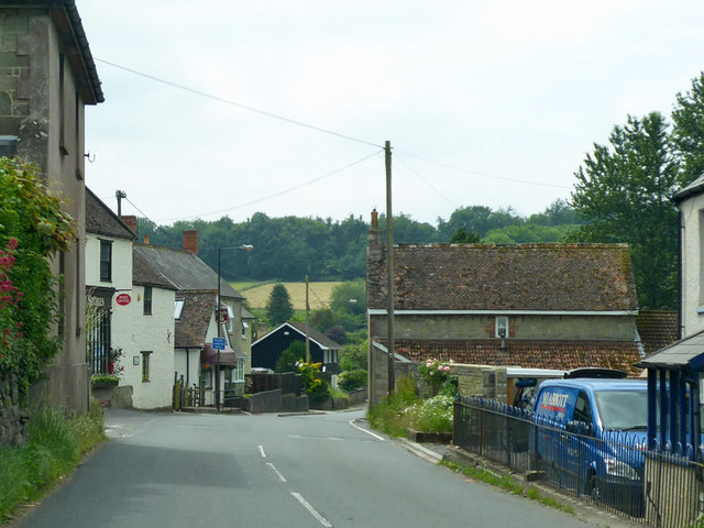
The village of Charlton is known for its quaint charm and traditional English architecture. It consists of a collection of stone houses and cottages, many of which date back to the 18th and 19th centuries. The village is centered around a small green, providing a peaceful and idyllic setting.

Despite its small size, Charlton boasts a strong sense of community. The village has a local pub, The Horse and Groom, which serves as a meeting place for residents and visitors alike. The pub offers a selection of traditional British dishes and ales, and is known for its warm and welcoming atmosphere.

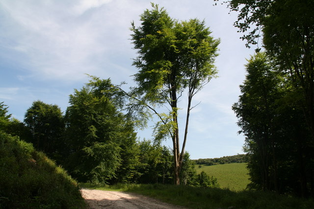
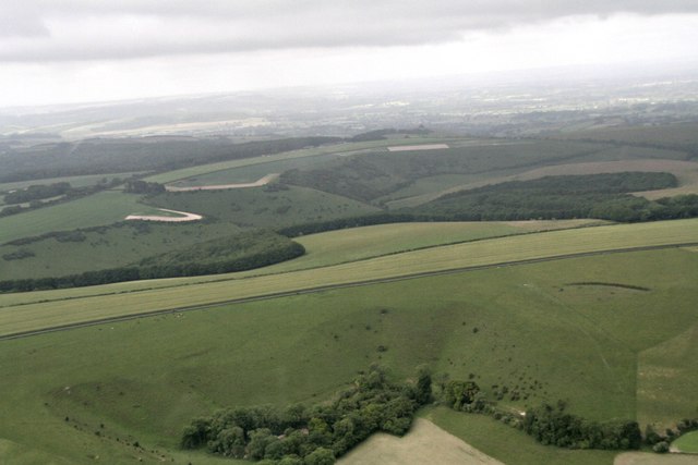
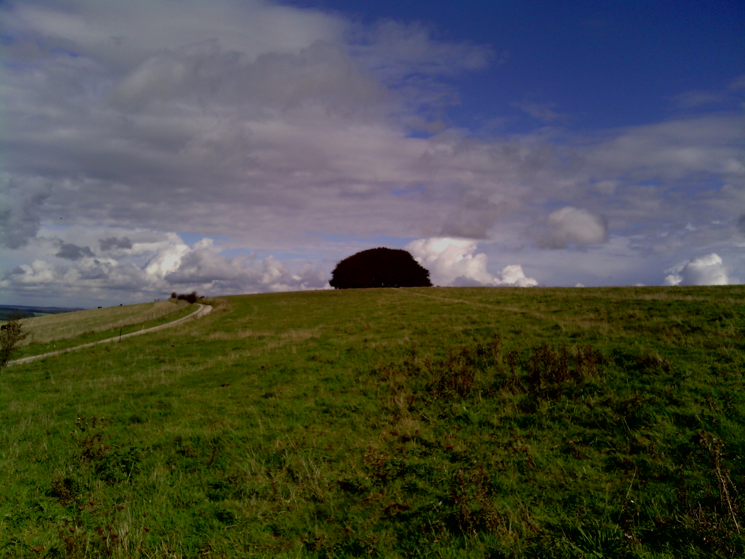
Surrounded by rolling hills and vast expanses of farmland, Charlton offers plenty of opportunities for outdoor activities and exploration. The village is located near several walking and cycling routes, providing access to the stunning countryside and nearby attractions such as the Cotswold Water Park and the ancient Avebury stone circle.

Charlton is well-connected to other nearby towns and cities. The village is located just off the A429 road, providing easy access to larger towns like Cirencester and Swindon. The nearest railway station is in Kemble, approximately 8 miles away, offering regular services to London and other major cities.

Overall, Charlton is a peaceful and picturesque village, offering residents and visitors a taste of rural English life amidst the stunning natural beauty of Wiltshire.

If you have any feedback on the listing, please let us know in the comments section below.
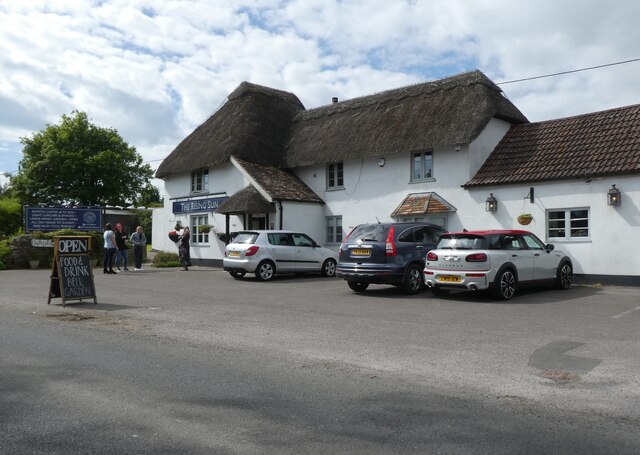
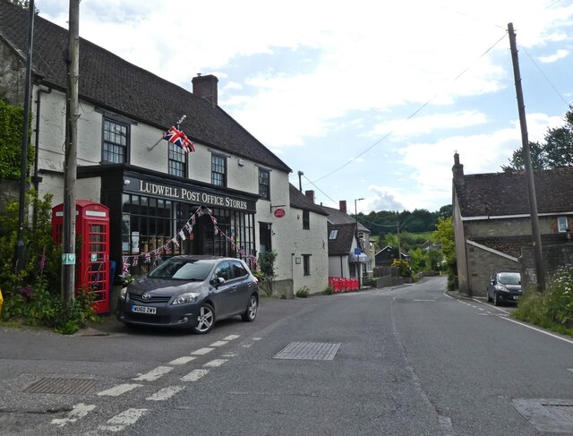
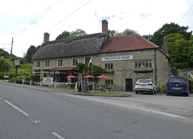
Charlton Images

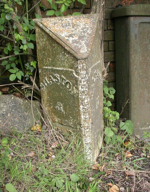
Images are sourced within 2km of 50.994517/-2.1359994 or Grid Reference ST9021. Thanks to Geograph Open Source API. All images are credited.

The Rising Sun
The Rising Sun
Ludwell Post Office Stores
The Grove Arms, Ludwell
Higher Barrycourt
Higher Barrycourt
Ox Drove on Charlton Down
Track in Melbury Wood
Misty Valley The view from the lay by on the B3081 over Charlton Down, Wiltshire.
Misty Valley
The view from the lay by on the B3081 over Charlton Down, Wiltshire.
Misty Coppice The view from the lay by on the B3081 over Charlton Down, Wiltshire.
Misty Coppice
The view from the lay by on the B3081 over Charlton Down, Wiltshire.
Old hedge line and an view to the north from Ox Drove near Melbury Abbas
Unnamed wood on Ox Drove
Charlton Down and Melbury Wood from the NE: aerial 2017
Charlton Down and Melbury Wood from above Win Green: aerial 2017
A30 heading west by Windyridge Farm The farm is on the left. The house on the right is called 'Ours'.
A30 heading west by Windyridge Farm
The farm is on the left. The house on the right is called 'Ours'.
A30 heading west at crossroads, Peckons Hill
A30 heading west Through Ludwell.
A30 heading west
Through Ludwell.
Old Milepost by the A30, Peckons Hill, Ludwell Cast iron post by the A30, in parish of DONHEAD ST MARY (SALISBURY District), Ludwell; East of village next to the junction with Dennis Lane, on the verge, on South side of road. Cockey iron casting, erected by the Whitesheet turnpike trust in the 19th century. 

Inscription reads:-
: SHASTON / 3 : : DONHEAD ST MARY : : SALISBURY / 17 :  

Milestone Society National ID: WI_SHSA03.
Old Milepost by the A30, Peckons Hill, Ludwell
Cast iron post by the A30, in parish of DONHEAD ST MARY (SALISBURY District), Ludwell; East of village next to the junction with Dennis Lane, on the verge, on South side of road. Cockey iron casting, erected by the Whitesheet turnpike trust in the 19th century. Inscription reads:- : SHASTON / 3 : : DONHEAD ST MARY : : SALISBURY / 17 : Milestone Society National ID: WI_SHSA03.
Wessex Ridgeway in Picket's Close The Wessex Ridgeway is a 136-mile long-distance footpath which runs from Marlborough in Wiltshire to Lyme Regis in Dorset. It was opened in 1994. 

Wikipedia entry: <span class="nowrap"><a title="https://en.wikipedia.org/wiki/Wessex_Ridgeway" rel="nofollow ugc noopener" href="https://en.wikipedia.org/wiki/Wessex_Ridgeway">Link</a><img style="margin-left:2px;" alt="External link" title="External link - shift click to open in new window" src="https://s1.geograph.org.uk/img/external.png" width="10" height="10"/></span>
Wessex Ridgeway in Picket's Close
The Wessex Ridgeway is a 136-mile long-distance footpath which runs from Marlborough in Wiltshire to Lyme Regis in Dorset. It was opened in 1994. Wikipedia entry: LinkExternal link
Elliott's Shed Unusual title for a stretch of woodland.
The narrow bridleway has been adopted by the Wessex Ridgeway long distance footpath.
Elliott's Shed
Unusual title for a stretch of woodland. The narrow bridleway has been adopted by the Wessex Ridgeway long distance footpath.
Show me another place!

Charlton is located at Grid Ref: ST9021 (Lat: 50.994517, Lng: -2.1359994)

Unitary Authority: Wiltshire

Police Authority: Wiltshire

What 3 Words

///keener.mushroom.indulges. Near Shaftesbury, Dorset

Nearby Locations

Charlton

Related Wikis

Ludwell, Wiltshire

Ludwell is a small village in south Wiltshire, England, approximately 3 miles (5 km) east of the Dorset town of Shaftesbury. It lies within the Cranborne...

Breeze Hill

Breeze Hill is a prominent, largely treeless, rounded summit, 262 metres high, on the edge of Cranborne Chase about a mile east of the village of Melbury...

Lower Coombe and Ferne Brook Meadows

Lower Coombe and Ferne Brook Meadows (grid reference ST916236) is an 11.34 hectare biological Site of Special Scientific Interest in Wiltshire, England...

Win Green Down

Win Green Down at grid reference ST927209 in south-western Wiltshire, England is a 26.0 hectares (64 acres) biological Site of Special Scientific Interest...

Nearby Amenities

Located within 500m of 50.994517,-2.1359994
Charlton
Place: village
Wikidata: Q22912991
Lat/Long: 50.9973086/-2.1383209
Barrier: stile
Lat/Long: 50.9971176/-2.1413428
Material: wood
Power: pole
Source: bing
Transformer: distribution
Lat/Long: 50.9946505/-2.1342408
Material: wood
Power: pole
Source: bing
Lat/Long: 50.9952785/-2.140595
Material: wood
Power: pole
Source: bing
Lat/Long: 50.9955637/-2.1396884
Material: wood
Power: pole
Source: bing
Lat/Long: 50.9956769/-2.130129
Material: wood
Power: pole
Source: bing
Lat/Long: 50.9958507/-2.1387952
Material: wood
Power: pole
Source: bing
Lat/Long: 50.9958811/-2.1411046
Material: wood
Power: pole
Source: bing
Lat/Long: 50.9958879/-2.1323847
Material: wood
Poles: bipole
Power: pole
Source: bing
Transformer: distribution
Lat/Long: 50.9961732/-2.1377599
Material: wood
Power: pole
Source: bing
Lat/Long: 50.9965243/-2.1415579
Material: wood
Poles: bipole
Power: pole
Source: bing
Lat/Long: 50.9969615/-2.1329641
Material: wood
Power: pole
Source: bing
Lat/Long: 50.997289/-2.1412628
Material: wood
Poles: bipole
Power: pole
Source: bing
Lat/Long: 50.9980402/-2.1335407
Booth: K6
Covered: booth
Disused Amenity: telephone
Man Made: telephone_box
Lat/Long: 50.9955158/-2.1366611
The data included in this document is from www.openstreetmap.org. The data is made available under ODbL.

Have you been to Charlton?

Leave your review of Charlton below (or comments, questions and feedback).