Charing Cross
Settlement in Renfrewshire
Scotland
Charing Cross
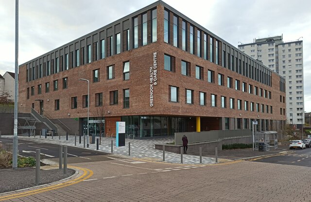
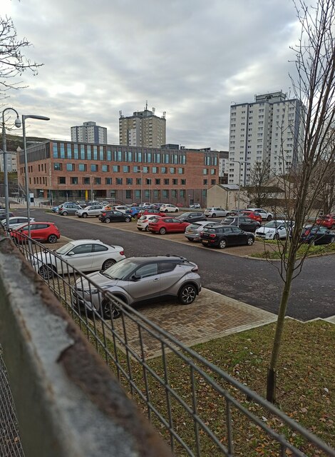
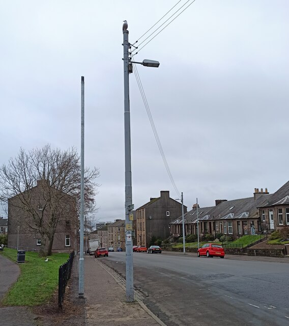
Charing Cross is a small suburban area located in Renfrewshire, Scotland. Situated approximately 2 miles west of Paisley town center, it is a bustling and vibrant community with a mix of residential and commercial properties.
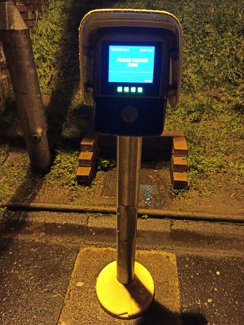
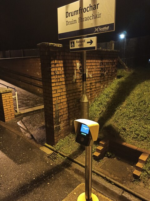
The area is well-connected, with excellent transport links. The M8 motorway runs nearby, providing easy access to Glasgow city center, which is around 10 miles away. Charing Cross also benefits from a railway station, offering regular services to Glasgow and other surrounding areas.
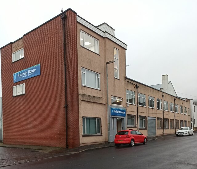
One of the main features of Charing Cross is its diverse range of amenities. The area is home to a variety of shops, including supermarkets, convenience stores, and independent retailers. There are also several cafes, restaurants, and pubs, providing plenty of options for dining and socializing.
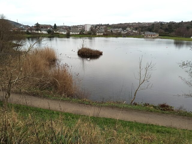
Charing Cross is surrounded by green spaces, making it an attractive place for nature lovers. The nearby Barshaw Park offers beautiful gardens, a boating pond, and a children's play area. Additionally, there are several walking and cycling paths, providing opportunities for outdoor activities.
The area is also known for its strong sense of community. There are various local organizations and community groups that organize events and activities for residents of all ages. Charing Cross Primary School is well-regarded, providing education for young children in the area.
Overall, Charing Cross is a lively and well-connected suburban area that offers a range of amenities, green spaces, and a strong community spirit, making it an appealing place to live.
If you have any feedback on the listing, please let us know in the comments section below.
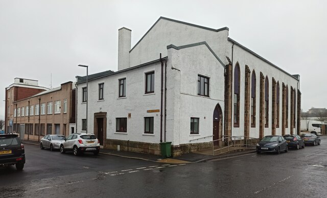
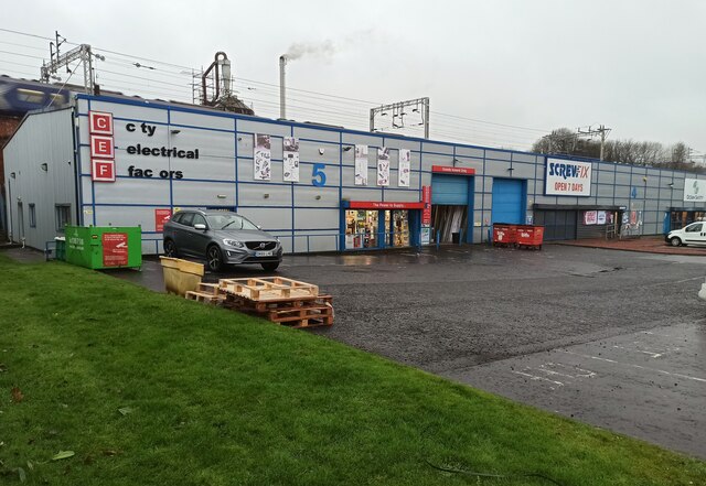
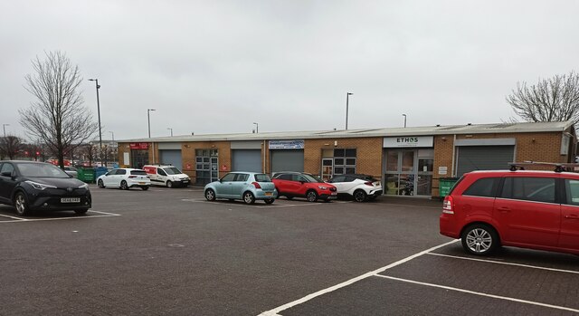
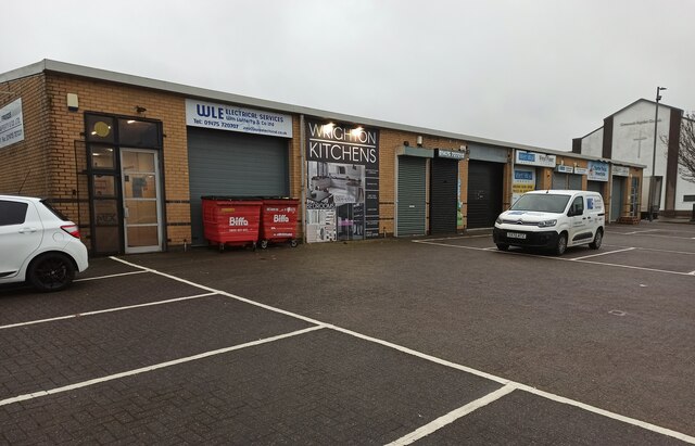
Charing Cross Images
Images are sourced within 2km of 55.94378/-4.7479744 or Grid Reference NS2875. Thanks to Geograph Open Source API. All images are credited.


Charing Cross is located at Grid Ref: NS2875 (Lat: 55.94378, Lng: -4.7479744)
Unitary Authority: Inverclyde
Police Authority: Renfrewshire and Inverclyde
What 3 Words
///poems.steep.orchestra. Near Greenock, Inverclyde
Nearby Locations
Related Wikis

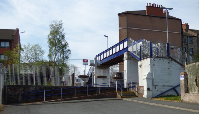
Greenock Central railway station
Greenock Central station is one of eight railway stations serving the town of Greenock in western Scotland, and is the nearest to the town centre. This...

Lynedoch railway station
Greenock Lynedoch was a railway station serving Greenock, Inverclyde, Scotland, originally as part of the Greenock and Ayrshire Railway. == History... ==
Cartsdyke
Cartsdyke (Scots: Cairstdyke, Scottish Gaelic: Gàradh Cairte), formerly known as Crawfurdsdyke, is a suburb of the town of Greenock, Scotland.Crawfurdsdyke...
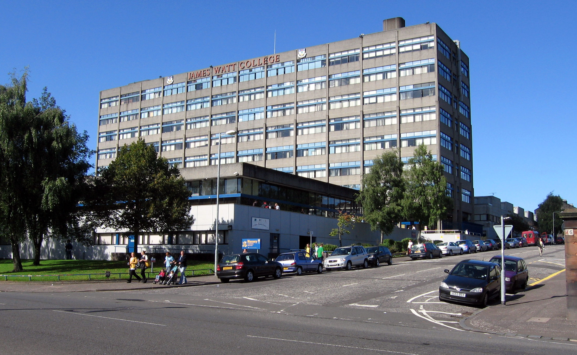
James Watt College
James Watt College was a further education college in Greenock, Scotland. It is now part of West College Scotland. There were also campuses in Largs and...
Nearby Amenities
Located within 500m of 55.94378,-4.7479744Have you been to Charing Cross?
Leave your review of Charing Cross below (or comments, questions and feedback).