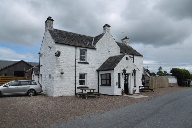
Chapelhill
Settlement in Perthshire
Scotland
Chapelhill
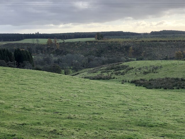
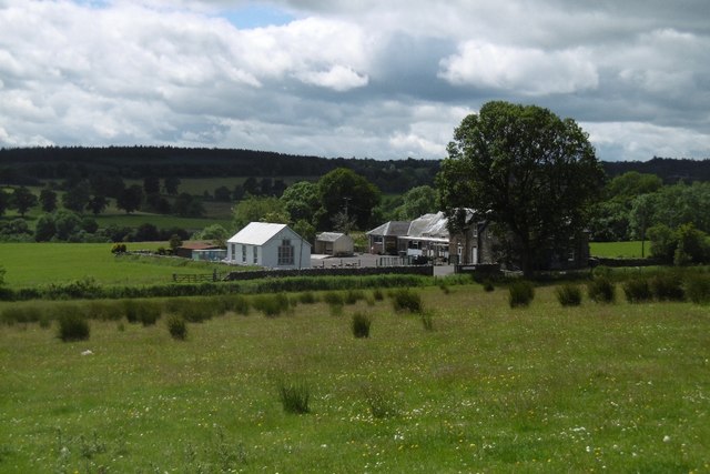
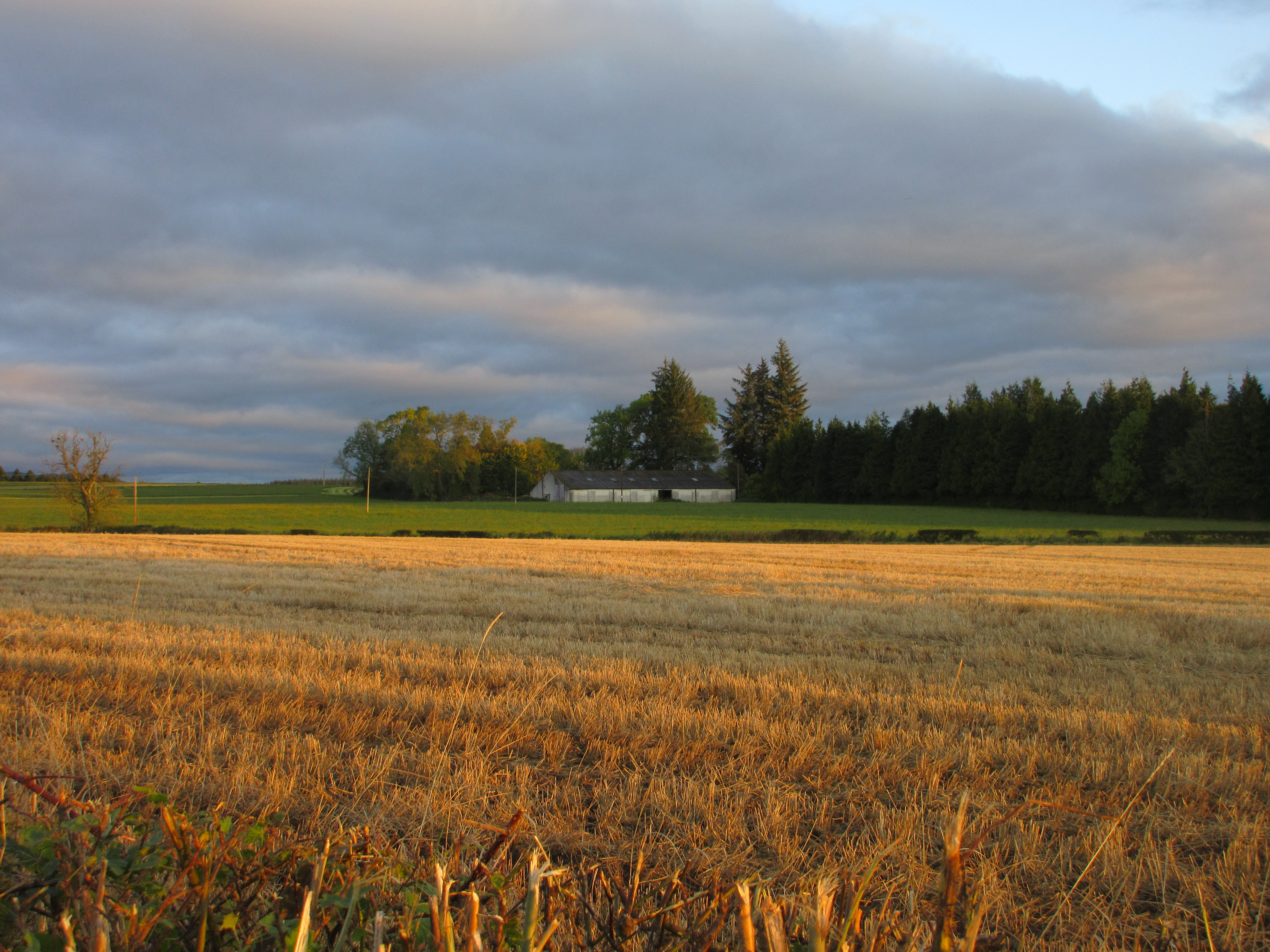
Chapelhill is a small village located in the county of Perthshire, Scotland. Situated in the eastern part of the county, it is nestled amidst the picturesque countryside and offers a tranquil and scenic setting. The village is situated approximately 6 miles northwest of Perth, the county town.
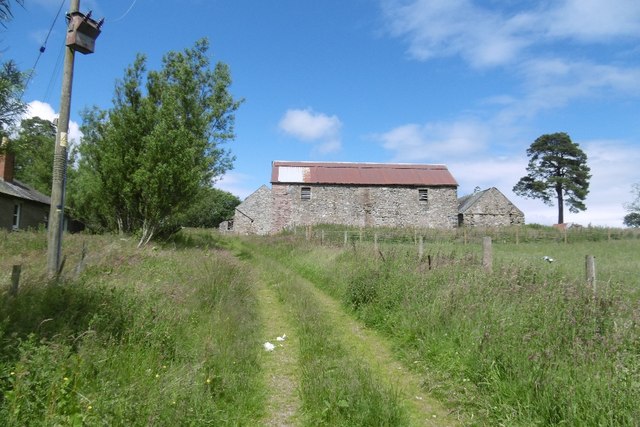
Chapelhill has a rich history, with its origins dating back to the medieval period. The village takes its name from the historic chapel that once stood on the hill overlooking the area. Today, only the remnants of the chapel remain, but it serves as a reminder of the village's past.
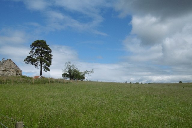
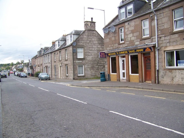
The village is predominantly residential, with a close-knit community that values its peaceful surroundings and sense of community spirit. The properties in Chapelhill vary in style, ranging from traditional stone cottages to more modern houses.
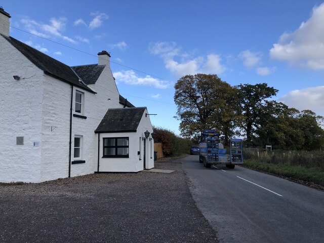
Despite its small size, the village offers basic amenities to its residents. There is a local convenience store that caters to everyday needs, and a primary school is located nearby, ensuring that families have easy access to education.
The surrounding countryside provides ample opportunities for outdoor activities, such as hiking, cycling, and fishing. The nearby River Tay is renowned for its salmon fishing, attracting enthusiasts from far and wide.
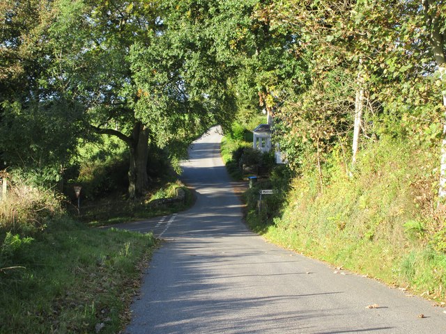
Chapelhill is well-connected to the wider region, with good road links to Perth and other nearby towns. Its peaceful and idyllic setting, combined with its historic charm, make it an attractive place to live for those seeking a quieter and more rural lifestyle.
If you have any feedback on the listing, please let us know in the comments section below.
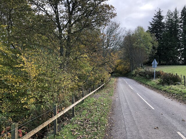
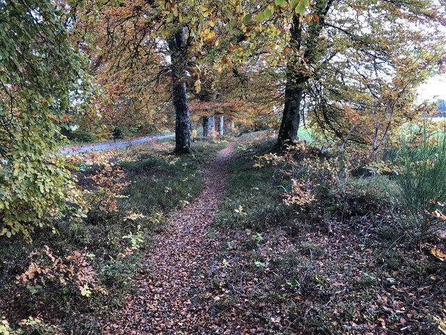
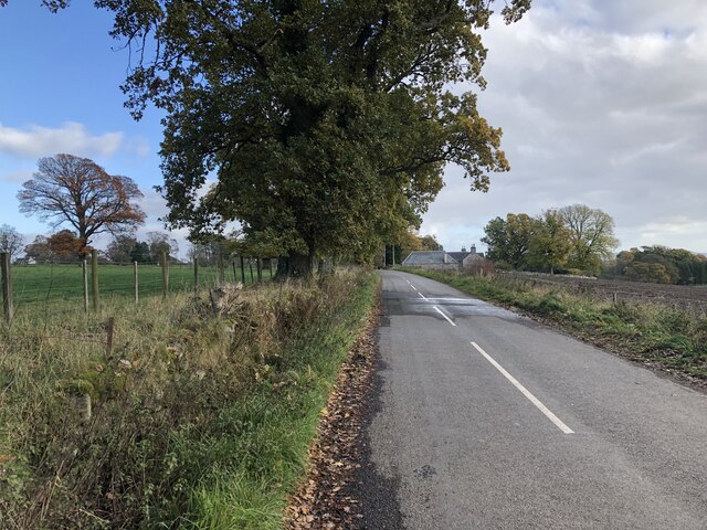
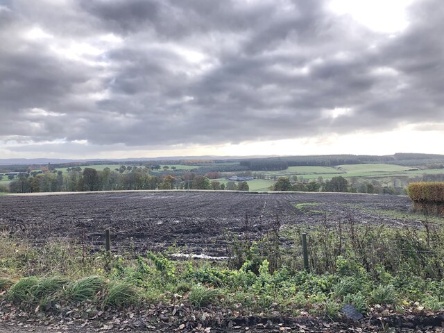
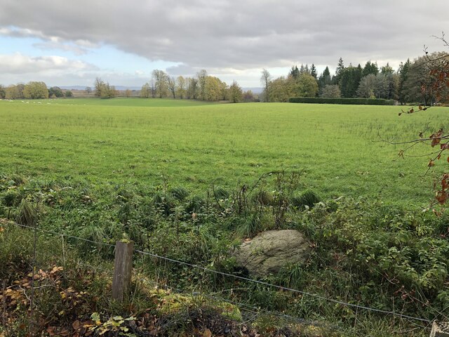
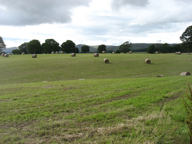
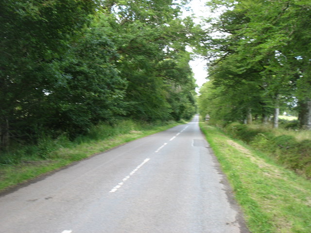
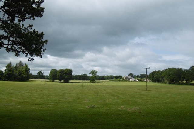
Chapelhill Images
Images are sourced within 2km of 56.453852/-3.6090835 or Grid Reference NO0030. Thanks to Geograph Open Source API. All images are credited.


Chapelhill is located at Grid Ref: NO0030 (Lat: 56.453852, Lng: -3.6090835)
Unitary Authority: Perth and Kinross
Police Authority: Tayside
What 3 Words
///respected.tortoises.roaring. Near Methven, Perth & Kinross
Nearby Locations
Related Wikis

Harrietfield
Harrietfield is a village near Glenalmond in Perth and Kinross. It is about 9 miles (14 km) north-west of Perth. It has been suggested that the village...
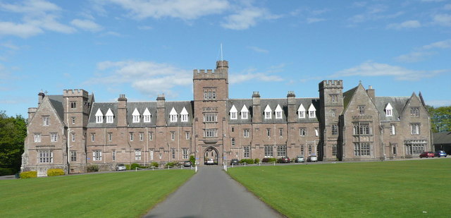
Glenalmond College
Glenalmond College is a co-educational independent boarding school in Perth and Kinross, Scotland, for children aged between 12 and 18 years. It is situated...
Tullybelton
Tullybelton is a hamlet located in the Scottish county of Perth and Kinross about 8 miles (13 km) north-northeast of Perth. Ian Fraser, Baron Fraser of...
Battle of Methven
The Battle of Methven took place at Methven, Scotland on 19 June 1306, during the Wars of Scottish Independence. The battlefield was researched to be included...
Methven, Perth and Kinross
Methven (; Scottish Gaelic: Meadhainnigh) is a large village in the Scottish region of Perth and Kinross, on the A85 road due west of the town of Perth...
Methven railway station
Methven railway station served the village of Methven, Perth and Kinross, Scotland and was located between the city of Perth to the east and the town of...

Methven Castle
Methven Castle is a privately owned 17th-century house situated east of Methven, in Perth and Kinross, Scotland. == History == The lands of Methven were...
Moneydie
Moneydie {/ˌmʌnˈiːˌɗiː/} is a small hamlet and former parish in Perth and Kinross. It is about 6 miles (10 kilometres) northwest of Perth. == Parish... ==
Nearby Amenities
Located within 500m of 56.453852,-3.6090835Have you been to Chapelhill?
Leave your review of Chapelhill below (or comments, questions and feedback).