Chapelend

Settlement in Essex Uttlesford

England

Chapelend

Stonebridge Farm, Little Walden, Essex
Stonebridge Farm, Little Walden, Essex Credit: Robert Edwards

Chapelend is a small village located in the county of Essex, England. Situated approximately 2 miles east of the town of Harlow, Chapelend is a quiet and peaceful residential area with a population of around 1,500 residents. The village is surrounded by picturesque countryside, offering beautiful views and a tranquil atmosphere.

Chapelend is known for its quaint and charming architecture, with many traditional English cottages lining the streets. The village has a strong sense of community, with various local events and activities organized throughout the year, such as summer fairs and Christmas markets. The residents take pride in maintaining the village's historic character and preserving its heritage.

Despite its small size, Chapelend offers a range of amenities to its residents. There is a local primary school providing education for children in the area. Additionally, the village has a post office, a convenience store, and a few small businesses, catering to the daily needs of the locals. For those seeking recreational activities, there are several parks and green spaces nearby, perfect for walking, picnicking, or enjoying nature.

Chapelend benefits from its proximity to Harlow, where residents can access a wider range of amenities, including shopping centers, restaurants, and leisure facilities. The village is well-connected to the rest of Essex and London via road and public transportation, with regular bus services available.

In summary, Chapelend is a charming and peaceful village in Essex, offering a close-knit community, picturesque surroundings, and convenient access to nearby towns and cities.

If you have any feedback on the listing, please let us know in the comments section below.
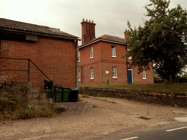
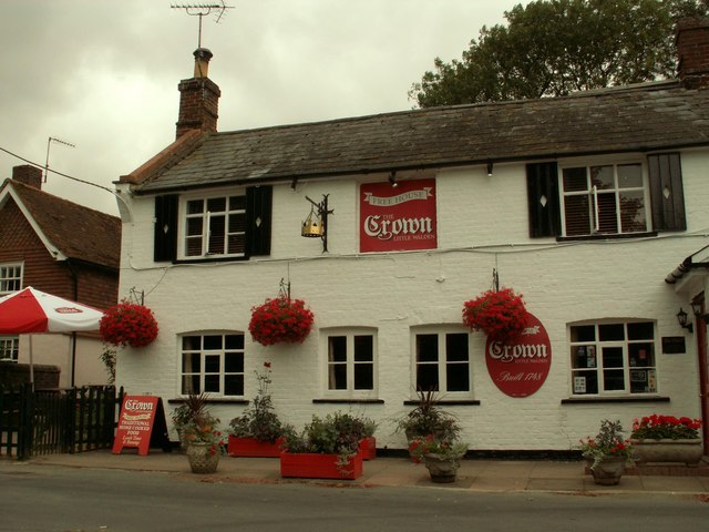
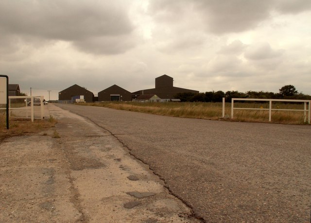
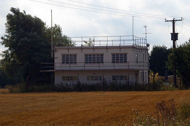
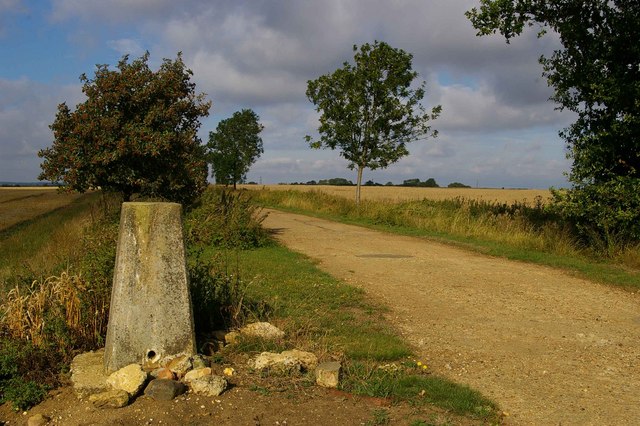
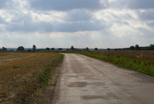
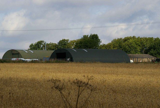
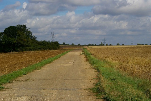
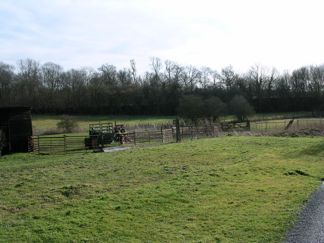
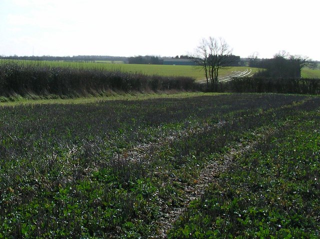
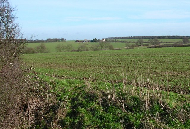
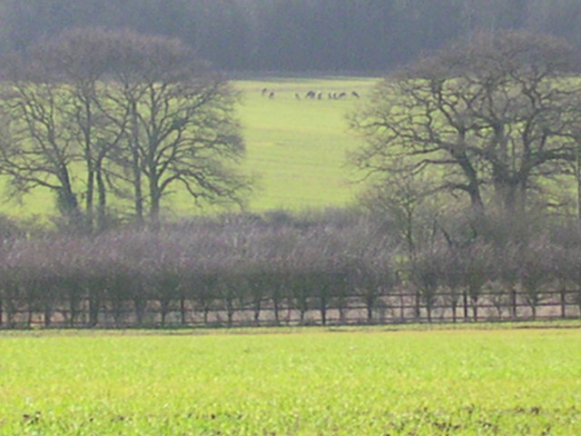
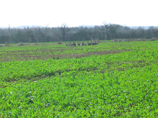
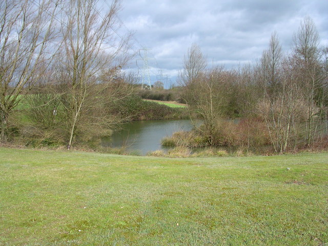
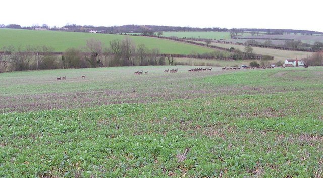
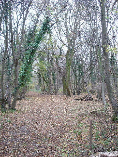
Chapelend Images

Images are sourced within 2km of 52.054516/0.26510022 or Grid Reference TL5541. Thanks to Geograph Open Source API. All images are credited.

Stonebridge Farm, Little Walden, Essex
'The Crown' inn, Little Walden, Essex This inn stands at the bend in the road through the small hamlet of Little Walden.
'The Crown' inn, Little Walden, Essex
This inn stands at the bend in the road through the small hamlet of Little Walden.
FDL, Hadstock Common, Essex These buildings belong to a company called Fuerst Day Lawson.
FDL, Hadstock Common, Essex
These buildings belong to a company called Fuerst Day Lawson.
RAF Little Walden This is the Control Tower of RAF Little Walden. It is probably the best-preserved WW2 airfield tower in Essex. It began its operational life in March 1944 with the USAAF 409th Bomb Group flying A20's, other types that operated from here included P51 Mustang, and B17's. The airfield was returned to the RAF in 1946 and finally decommissioned in 1958. To go to the next field in an alphabetical tour of Essex WW2 airfields click on <a href="https://www.geograph.org.uk/photo/260801">TL5512 : Matching Aerodrome</a>. Much information was gleaned from Graham Smith’s book “Essex Airfields In The Second World War”.
<span class="nowrap"><a title="https://books.google.co.uk/books/about/Essex_Airfields_in_the_Second_World_War.html?id=u3atAAAACAAJ&redir_esc=y" rel="nofollow ugc noopener" href="https://books.google.co.uk/books/about/Essex_Airfields_in_the_Second_World_War.html?id=u3atAAAACAAJ&redir_esc=y">Link</a><img style="margin-left:2px;" alt="External link" title="External link - shift click to open in new window" src="https://s1.geograph.org.uk/img/external.png" width="10" height="10"/></span>
RAF Little Walden
This is the Control Tower of RAF Little Walden. It is probably the best-preserved WW2 airfield tower in Essex. It began its operational life in March 1944 with the USAAF 409th Bomb Group flying A20's, other types that operated from here included P51 Mustang, and B17's. The airfield was returned to the RAF in 1946 and finally decommissioned in 1958. To go to the next field in an alphabetical tour of Essex WW2 airfields click on TL5512 : Matching Aerodrome. Much information was gleaned from Graham Smith’s book “Essex Airfields In The Second World War”. LinkExternal link
Trig on Mitchells Farm This triangulation pillar stands on the byway from Mitchells Farm to the trig point. After this point the road becomes a footpath.
Trig on Mitchells Farm
This triangulation pillar stands on the byway from Mitchells Farm to the trig point. After this point the road becomes a footpath.
Peri Track to Monks Hall This is the road to Monks Hall and Bowsers, it exactly follows the path of the perimeter track of <a href="https://www.geograph.org.uk/photo/221842">TL5543 : RAF Little Walden</a>.
Peri Track to Monks Hall
This is the road to Monks Hall and Bowsers, it exactly follows the path of the perimeter track of TL5543 : RAF Little Walden.
Monks Farm It is possible these blister style buildings on Monks farm are contemporary with <a href="https://www.geograph.org.uk/photo/221842">TL5543 : RAF Little Walden</a> however I would be willing to bet a few geograph points the rectangular building behind them is a military building of 1940’s vintage.
Monks Farm
It is possible these blister style buildings on Monks farm are contemporary with TL5543 : RAF Little Walden however I would be willing to bet a few geograph points the rectangular building behind them is a military building of 1940’s vintage.
Little Walden Path This bridle path follows the perimeter track of <a href="https://www.geograph.org.uk/photo/221842">TL5543 : RAF Little Walden</a> as far as the hedge it then takes a sharp left turn and disappears through the trees.
Little Walden Path
This bridle path follows the perimeter track of TL5543 : RAF Little Walden as far as the hedge it then takes a sharp left turn and disappears through the trees.
Puddle Wharf The Harcamlow Way follows the pavement south here.  That tractor has 1 wheel drive with the motor mounted to the right of the front wheel.
Puddle Wharf
The Harcamlow Way follows the pavement south here. That tractor has 1 wheel drive with the motor mounted to the right of the front wheel.
Turn Right at the tree for Grimsditch Wood. The aerial to the left is in TL 5735. The building on the horizon is Butlers Farm where Harcamlow Way passes to the Southwest.
Turn Right at the tree for Grimsditch Wood.
The aerial to the left is in TL 5735. The building on the horizon is Butlers Farm where Harcamlow Way passes to the Southwest.
Looking across the Harcamlow Way to Butlers Farm. Trying to sneek up on 11 deer around the corner to the right.
Looking across the Harcamlow Way to Butlers Farm.
Trying to sneek up on 11 deer around the corner to the right.
11 deer. Zooming through the haze.
11 deer.
Zooming through the haze.
13 deer here This herd is half the size of the one that got away.
13 deer here
This herd is half the size of the one that got away.
Electric pond
Electric pond
31 or so that got away And then we went to that pub.
31 or so that got away
And then we went to that pub.
Nunn Wood This photograph shows the northern end of the public footpath into Nunn Wood.
Nunn Wood
This photograph shows the northern end of the public footpath into Nunn Wood.
Diode for Deer A diode allows current to flow in only one direction. This ramp allows any Cervidaetious critters to escape from <a href="https://www.geograph.org.uk/photo/1414033">TL5741 : Shadwell Wood</a> Nature Reserve  but will not allow them back in again. The wood is completely surrounded by a “deer proof” fence to protect the rare Oxlips and new coppice growth.
Diode for Deer
A diode allows current to flow in only one direction. This ramp allows any Cervidaetious critters to escape from TL5741 : Shadwell Wood Nature Reserve but will not allow them back in again. The wood is completely surrounded by a “deer proof” fence to protect the rare Oxlips and new coppice growth.
Willowherb? in Dunns Clearing I am 90% sure this is a willowherb of some description but I can't quite pin it down. It was in <a href="https://www.geograph.org.uk/photo/1414168">TL5741 : Dunns Clearing</a> of Shadwell wood. I am leaning towards Hoary willowherb but the leaves don’t look right for some pictures I have seen and the petals don’t look right for others.  However why believe anything you see on the web? (the page may have been written by someone with even less knowledge of botany than me!!)
Willowherb? in Dunns Clearing
I am 90% sure this is a willowherb of some description but I can't quite pin it down. It was in TL5741 : Dunns Clearing of Shadwell wood. I am leaning towards Hoary willowherb but the leaves don’t look right for some pictures I have seen and the petals don’t look right for others. However why believe anything you see on the web? (the page may have been written by someone with even less knowledge of botany than me!!)
Show me another place!

Chapelend is located at Grid Ref: TL5541 (Lat: 52.054516, Lng: 0.26510022)

Administrative County: Essex

District: Uttlesford

Police Authority: Essex

What 3 Words

///lunch.flock.gobbles. Near Saffron Walden, Essex

Nearby Locations

Chapelend

Related Wikis

Nearby Amenities

Located within 500m of 52.054516,0.26510022
Mitchells
Landuse: farm
Note Retag: CS #48756035
Lat/Long: 52.0563999/0.2679447
Mitchells Cottages
Naptan AtcoCode: 1500IM2029AA
Naptan Bearing: N
Naptan BusStopType: CUS
Naptan CommonName: Mitchells Cottages
Naptan Indicator: Opp
Naptan Landmark: Mitchells Cottages
Naptan NaptanCode: esxgwpjm
Naptan Street: B1052 Hadstock Road
Naptan Verified: no
Public Transport: platform
Source: naptan_import
Lat/Long: 52.0583268/0.2680743
Barrier: stile
Lat/Long: 52.0522524/0.2704798
Barrier: stile
Lat/Long: 52.0525763/0.2695288
The data included in this document is from www.openstreetmap.org. The data is made available under ODbL.

Have you been to Chapelend?

Leave your review of Chapelend below (or comments, questions and feedback).