Cay Hill
Settlement in Suffolk Mid Suffolk
England
Cay Hill
Cay Hill is a small village located in the county of Suffolk, England. Situated in the East Anglian region, the village is nestled amidst the picturesque countryside, offering residents and visitors a tranquil and idyllic setting.
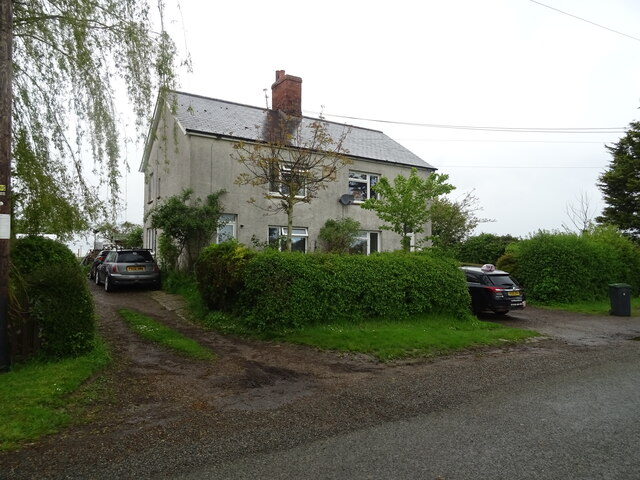
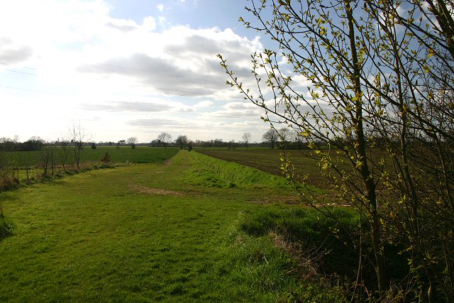
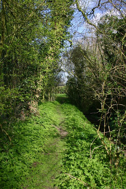
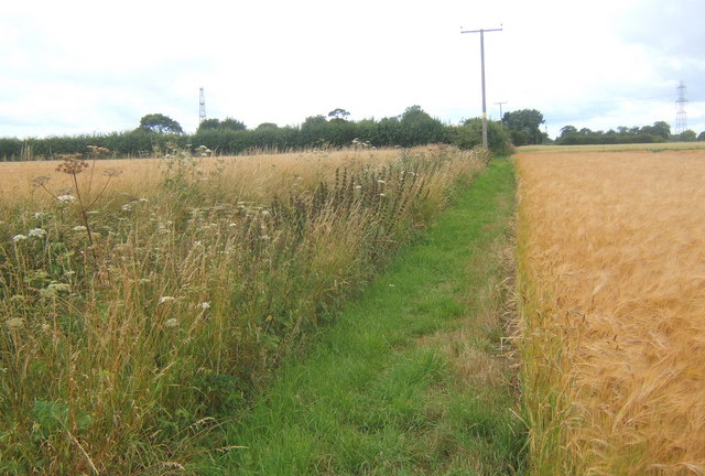
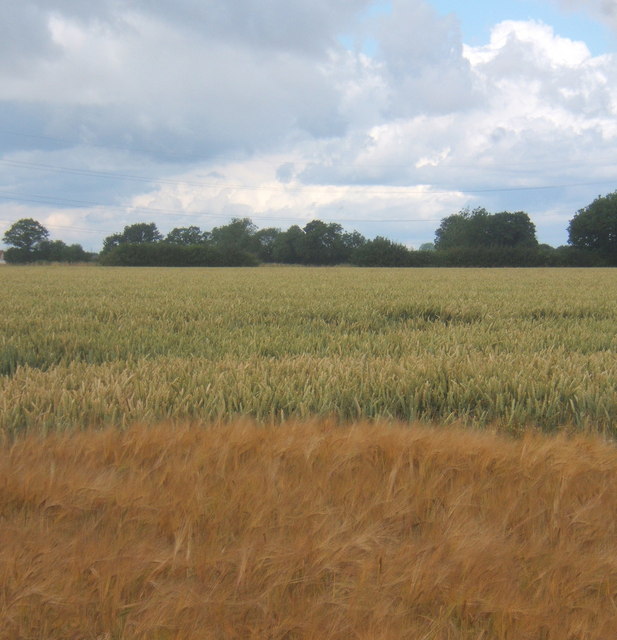
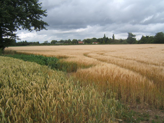
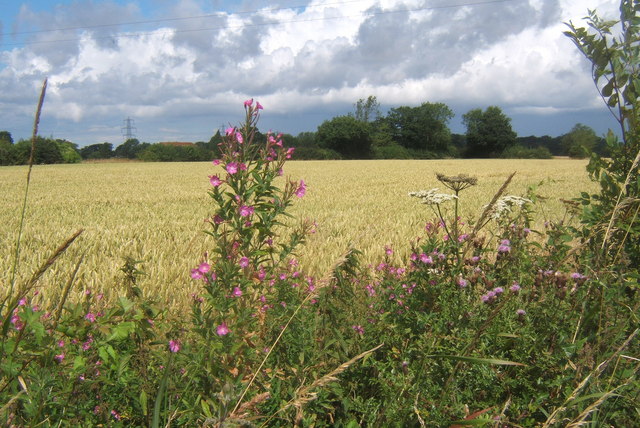
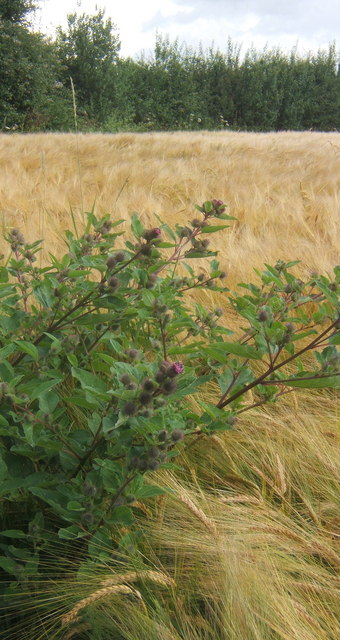
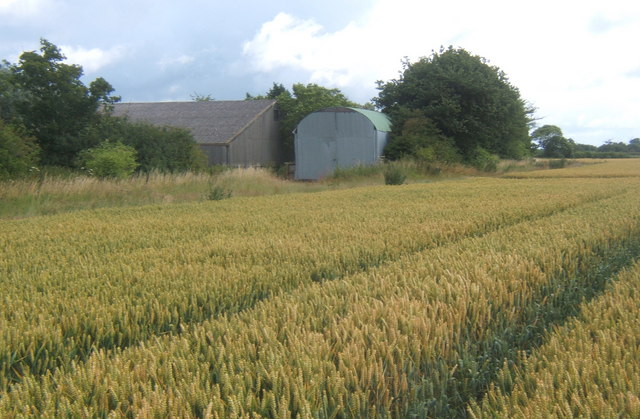
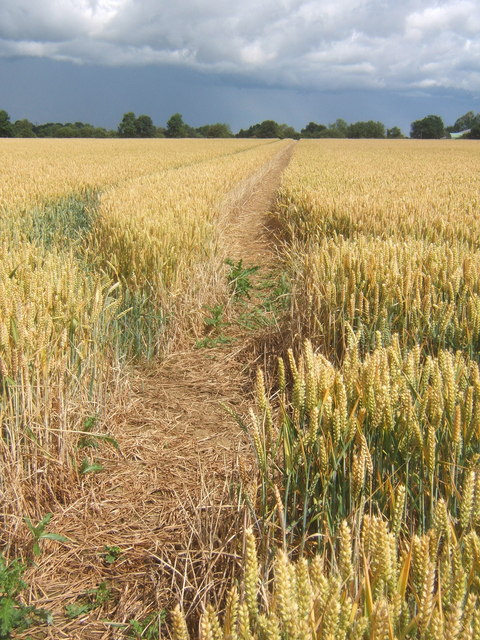
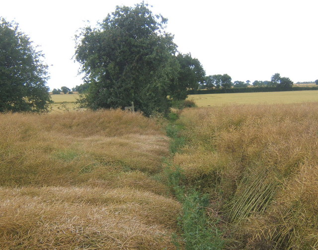
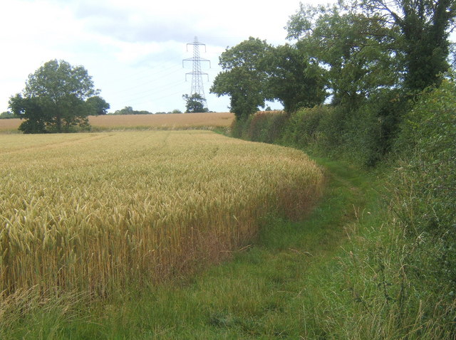
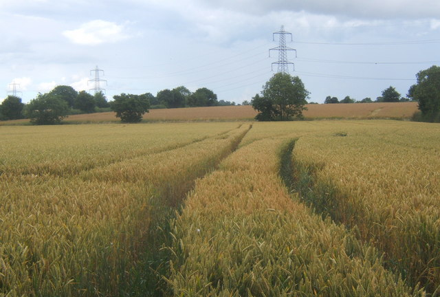
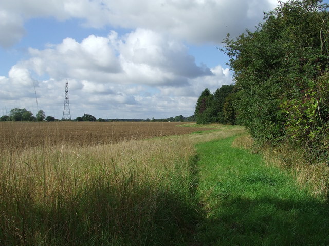
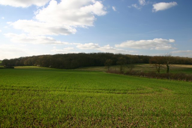
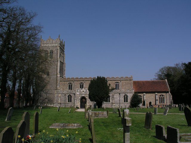
The village is characterized by its charming thatched-roof cottages and traditional architecture, which adds to its quaint and timeless appeal. The surrounding landscape is predominantly rural, with vast green fields, rolling hills, and meandering streams, creating a scenic backdrop for those who appreciate nature's beauty.
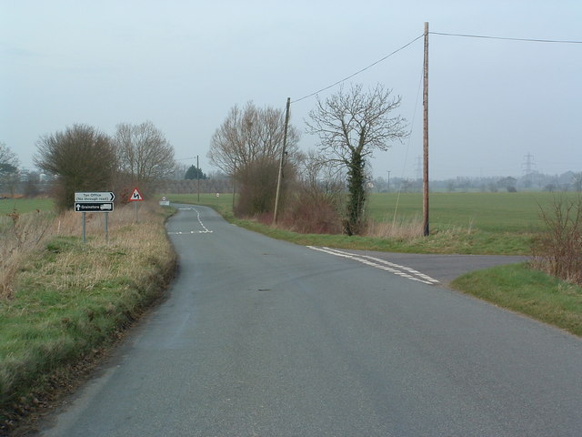
Cay Hill is well-connected to neighboring towns and villages, with good transport links provided by roads and public transportation services. It lies a short distance from larger towns such as Ipswich and Bury St Edmunds, offering access to a wider range of amenities and facilities.
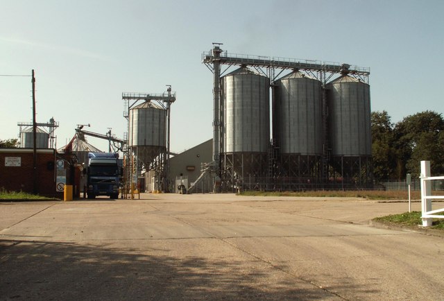
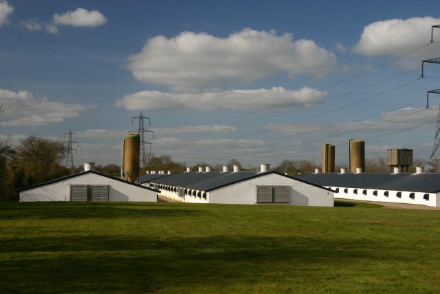
The village boasts a close-knit community, with a population that primarily engages in agricultural activities and rural trades. Residents enjoy a peaceful and close community spirit, with social events and gatherings often organized throughout the year.
For those who enjoy outdoor pursuits, Cay Hill offers numerous opportunities for walking, cycling, and exploring the surrounding countryside. The area is also known for its rich wildlife, making it a popular spot for nature enthusiasts and birdwatchers.
In summary, Cay Hill is a charming and picturesque village in Suffolk, England, offering a peaceful and rural lifestyle amidst beautiful natural surroundings. It is an ideal destination for those seeking tranquility and a close-knit community within the heart of the British countryside.
If you have any feedback on the listing, please let us know in the comments section below.
Cay Hill Images
Images are sourced within 2km of 52.230535/1.058723 or Grid Reference TM0863. Thanks to Geograph Open Source API. All images are credited.

Cay Hill is located at Grid Ref: TM0863 (Lat: 52.230535, Lng: 1.058723)
Administrative County: Suffolk
District: Mid Suffolk
Police Authority: Suffolk
What 3 Words
///fizzled.heartless.tolerable. Near Bacton, Suffolk
Nearby Locations
Related Wikis

Gipping
Gipping is a village and civil parish in the Mid Suffolk district of Suffolk in eastern England. Located around three miles north north-east of Stowmarket...
Gipping Great Wood
Gipping Great Wood is a 25.9-hectare (64-acre) biological Site of Special Scientific Interest south of Gipping in Suffolk.This is an ancient coppice with...

Mendlesham railway station
Mendlesham railway station was a station on the Mid-Suffolk Light Railway. == History == Mendlesham railway station was in the village of Mendlesham, Suffolk...
Mendlesham
Mendlesham is a village in Suffolk with 1,407 inhabitants at the 2011 census. It lies 5 miles (8 km) north east of Stowmarket and 73.135 miles (117.699...
Brockford Street
Brockford Street is a hamlet in the civil parish of Wetheringsett-cum-Brockford, in the Mid Suffolk district, in the county of Suffolk, England, sited...
Mendlesham transmitting station
The Mendlesham transmitting station is a broadcasting and telecommunications facility, situated close to the village of Mendlesham, near the town of Stowmarket...

Cotton, Suffolk
Cotton is a small village and civil parish located in the Mid Suffolk district of Suffolk in eastern England. Cotton lies a few miles to the east of the...

Old Newton
Old Newton is a village in the Mid Suffolk district of Suffolk in eastern England. Located within the civil parish of Old Newton with Dagworth, the village...
Nearby Amenities
Located within 500m of 52.230535,1.058723Have you been to Cay Hill?
Leave your review of Cay Hill below (or comments, questions and feedback).