Cauldcots
Settlement in Angus
Scotland
Cauldcots

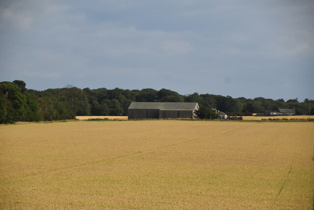
Cauldcots is a small village located in the Angus region of Scotland. Situated in the eastern part of the country, it is nestled amidst picturesque landscapes and rolling hills. The village is situated about 10 miles northwest of the city of Dundee, making it easily accessible for both locals and visitors alike.
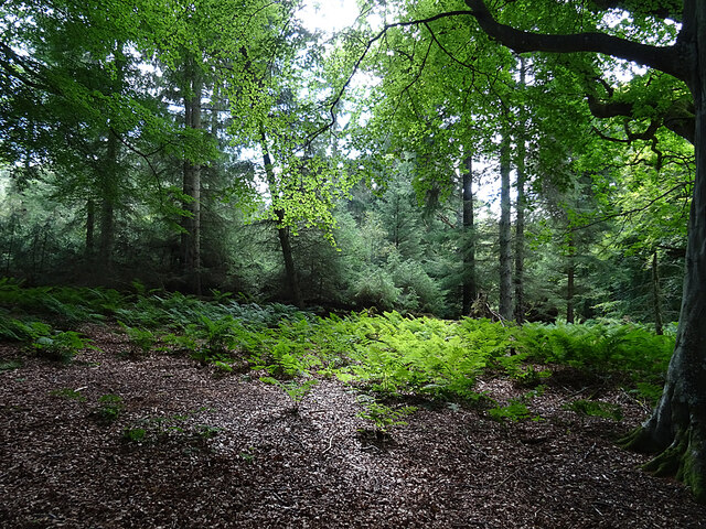
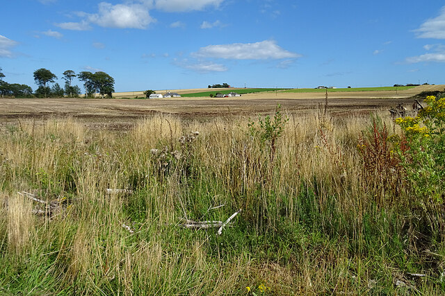
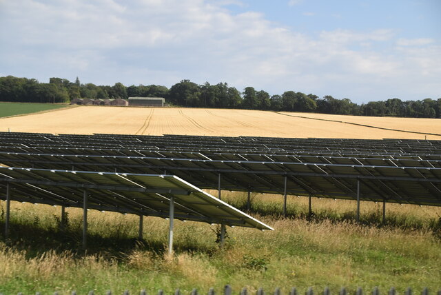
Cauldcots is known for its tranquil and scenic surroundings, making it a popular destination for nature enthusiasts and hikers. The village offers numerous walking trails that allow visitors to explore the stunning countryside and enjoy breathtaking views of the Angus Glens.
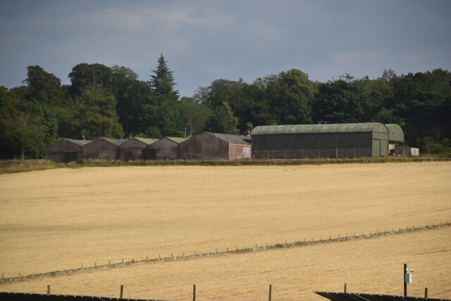
The village itself is characterized by its quaint charm and traditional Scottish architecture. It features a few local shops and amenities, providing essential services to its residents. The community spirit is strong in Cauldcots, with regular events and gatherings held to bring the villagers together.
Cauldcots is also known for its historical significance. The nearby Glamis Castle, a majestic medieval fortress, is a major attraction for tourists. This impressive edifice has a rich history and is renowned for its association with the Royal Family. Visitors can explore the castle's opulent rooms, beautiful gardens, and learn about its intriguing past.
Overall, Cauldcots offers a peaceful retreat in the heart of the Scottish countryside. Its natural beauty, historical landmarks, and warm community atmosphere make it an ideal destination for those seeking a taste of rural Scotland.
If you have any feedback on the listing, please let us know in the comments section below.
Cauldcots Images
Images are sourced within 2km of 56.615667/-2.5620891 or Grid Reference NO6547. Thanks to Geograph Open Source API. All images are credited.


Cauldcots is located at Grid Ref: NO6547 (Lat: 56.615667, Lng: -2.5620891)
Unitary Authority: Angus
Police Authority: Tayside
What 3 Words
///leaps.trim.forgotten. Near Arbroath, Angus
Nearby Locations
Related Wikis

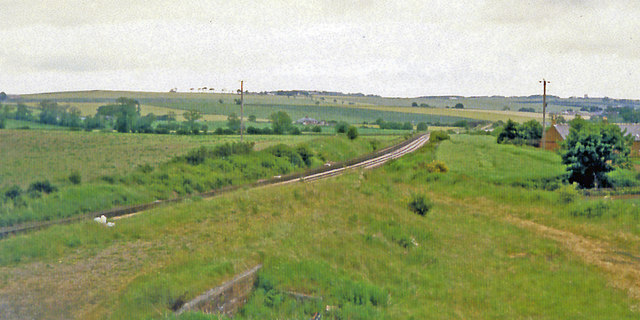
Cauldcots railway station
Cauldcots railway station served the hamlet of Cauldcots, Angus, Scotland, from 1883 to 1930 on the North British, Arbroath and Montrose Railway. ��2...

Inverkeilor railway station
Inverkeilor railway station served the village of Inverkeilor, Angus, Scotland from 1883 to 1930 on the North British, Arbroath and Montrose Railway....

Inverkeilor
Inverkeilor is a village and parish in Angus, Scotland. It lies near the North Sea coast, midway between Arbroath and Montrose. The A92 road now bypasses...

Letham Grange railway station
Letham Grange railway station served the Letham Grange estate, Angus, Scotland from 1883 to 1959 on the North British, Arbroath and Montrose Railway....
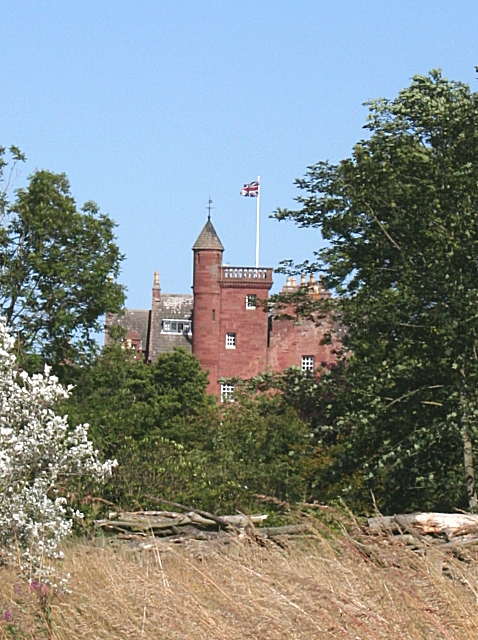
Ethie Castle
Ethie Castle is a 15,091 square feet (1,402.0 m2) 14th-century castle, situated around 3 miles north of the fishing town of Arbroath in Angus, Scotland...

Marywell
Marywell is a village in Angus, Scotland, that is north of Arbroath, in the parish of St Vigeans. == References == == Sources == Marywell in the Gazetteer...

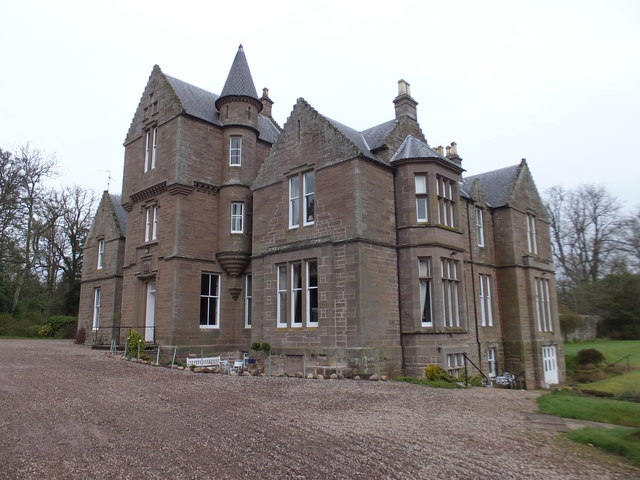
Letham Grange estate
Letham Grange is a mansion and estate situated north of Arbroath, in Angus, Scotland. The mansion itself is category B listed. == History == The mansion...

Auchmithie
Auchmithie is a small fishing village in Angus, Scotland, three miles north east of the town of Arbroath. It sits atop a cliff of red sandstone conglomerate...
Nearby Amenities
Located within 500m of 56.615667,-2.5620891Have you been to Cauldcots?
Leave your review of Cauldcots below (or comments, questions and feedback).