Cattishall
Settlement in Suffolk West Suffolk
England
Cattishall

Cattishall is a small village located in the county of Suffolk, England. Situated on the eastern bank of the River Waveney, it is known for its picturesque setting and tranquil atmosphere. The village is part of the Waveney district and lies approximately 10 miles south of the town of Beccles.
Cattishall is surrounded by lush green fields, rolling hills, and dense woodlands, making it an ideal location for nature lovers and outdoor enthusiasts. The River Waveney, which runs alongside the village, offers opportunities for boating, fishing, and riverside walks. The area is also a popular spot for birdwatching, with various species of birds frequently seen in the surrounding wetlands.
Despite its small size, Cattishall has a close-knit community and a rich history. The village is home to a number of traditional thatched cottages, giving it a quaint and charming feel. Its church, St. Margaret's, dates back to the 14th century and is a notable architectural landmark. There are also a few local amenities, including a village hall and a pub, providing a gathering place for residents.
Cattishall offers a peaceful and idyllic lifestyle away from the hustle and bustle of larger towns and cities. Its proximity to the beautiful Suffolk countryside, combined with its community spirit, makes it an attractive place to live or visit for those seeking a tranquil retreat.
If you have any feedback on the listing, please let us know in the comments section below.
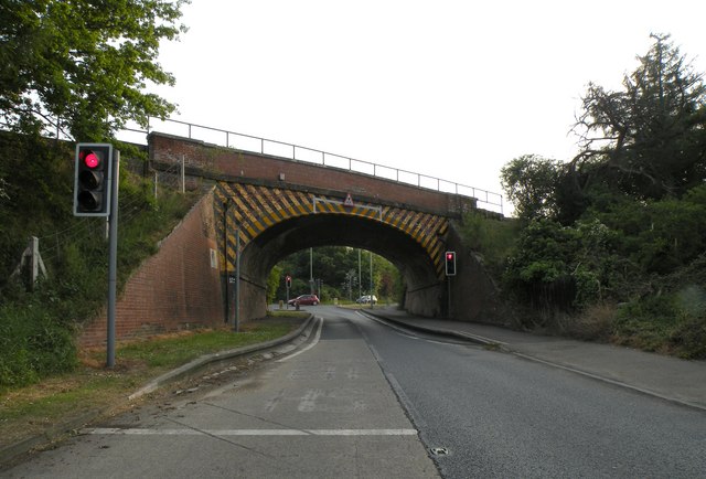
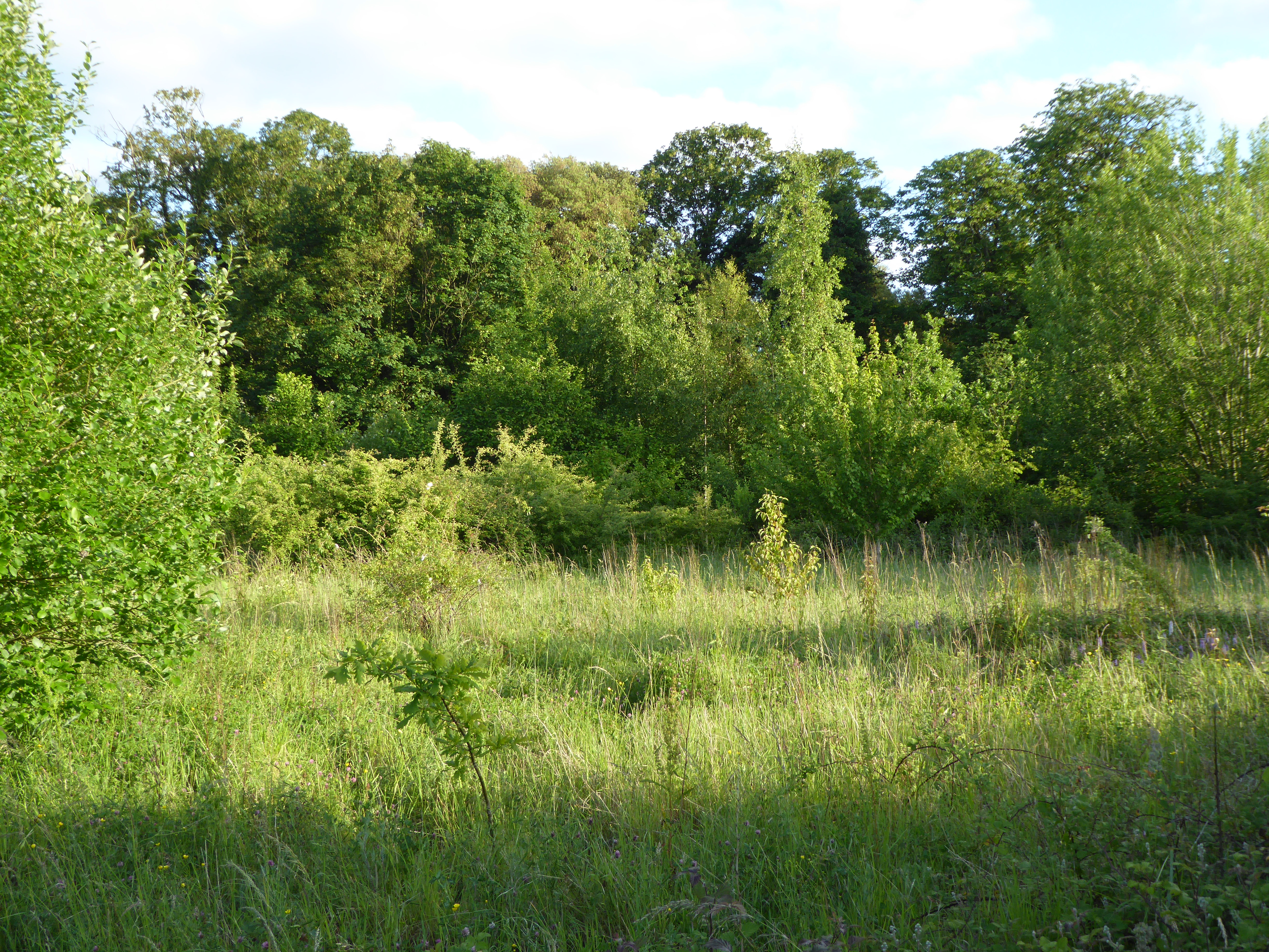
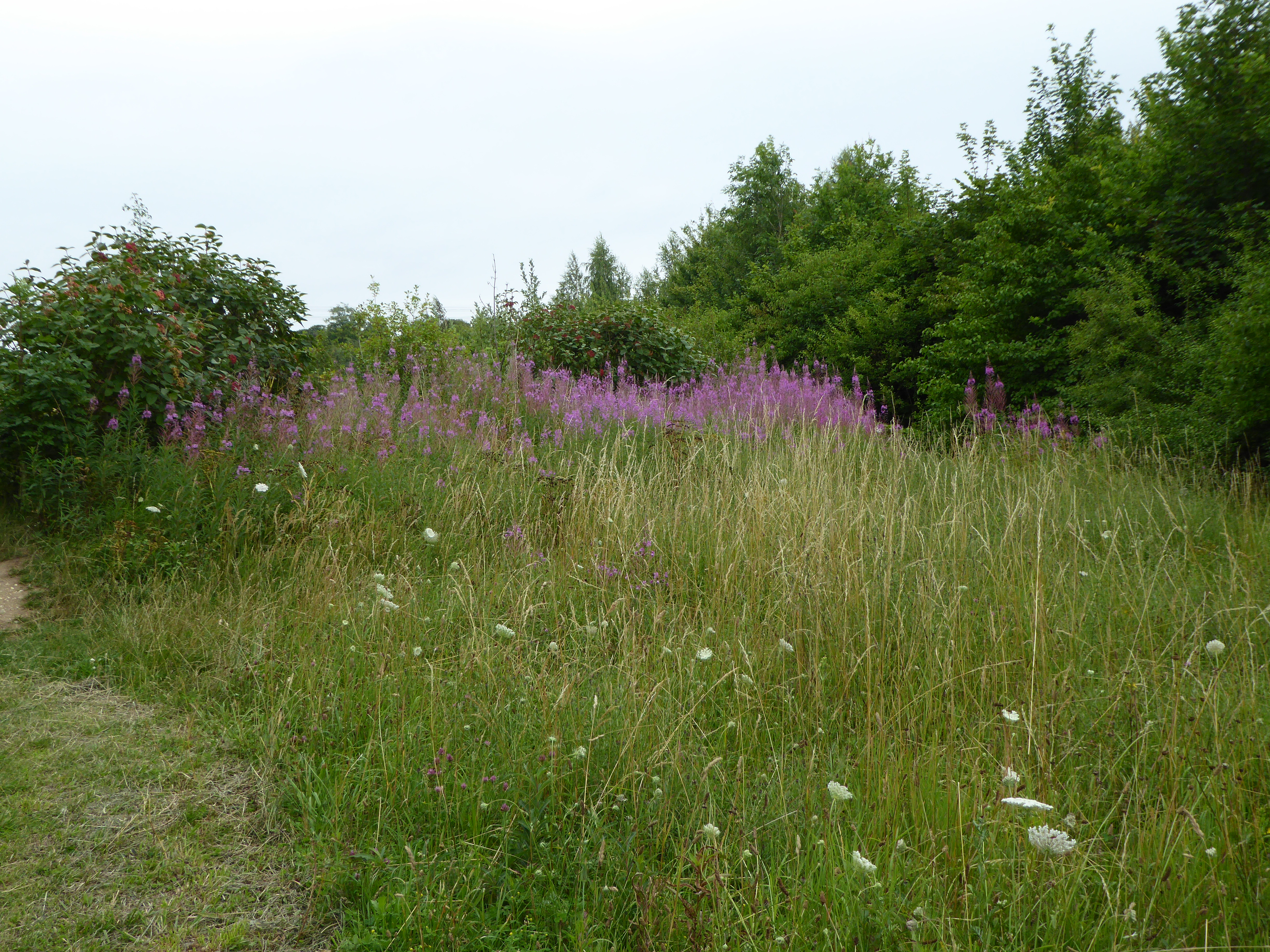
Cattishall Images
Images are sourced within 2km of 52.253907/0.76093878 or Grid Reference TL8865. Thanks to Geograph Open Source API. All images are credited.


Cattishall is located at Grid Ref: TL8865 (Lat: 52.253907, Lng: 0.76093878)
Administrative County: Suffolk
District: West Suffolk
Police Authority: Suffolk
What 3 Words
///eats.plodding.strutted. Near Great Barton, Suffolk
Nearby Locations
Related Wikis
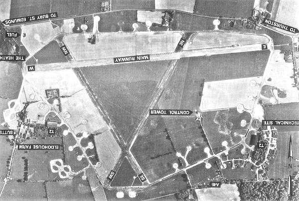
Rougham Airfield
Rougham Airfield, formerly Royal Air Force Bury St Edmunds or more simply RAF Bury St Edmunds is a former Royal Air Force station located 3 miles (4.8...

Great Barton
Great Barton is a large village and civil parish in the West Suffolk district of Suffolk, England, about 3 miles (5 km) East of Bury St Edmunds on the...

Moreton Hall, Bury St Edmunds
Moreton Hall is a Grade II* listed building in Bury St Edmunds, a market town in the county of Suffolk, England. It was designed by the Scottish architect...
Moreton Hall Community Woods
Moreton Hall Community Woods is an 18.5 hectare local nature reserve in Bury St Edmunds in Suffolk. it is owned by West Suffolk Council and managed by...
The Glen Chalk Caves, Bury St Edmunds
The Glen Chalk Caves, Bury St Edmunds is a 1.6-hectare (4.0-acre) biological Site of Special Scientific Interest in Bury St Edmunds in Suffolk.Tunnels...

Conyer's Green
Conyer's Green is a village in the civil parish of Great Barton, in the West Suffolk district, in the county of Suffolk, England.

Bury St Edmunds Eastgate railway station
Bury St Edmunds Eastgate railway station (also known as Bury Eastgate was a station in the town of Bury St Edmunds, England, on the Long Melford-Bury...

Thedwastre Hundred
Thedwastre (also Thedwestry) was a hundred of the county of Suffolk, England covering an area of 40,362 acres (163.34 km2). It formed part of the Liberty...
Nearby Amenities
Located within 500m of 52.253907,0.76093878Have you been to Cattishall?
Leave your review of Cattishall below (or comments, questions and feedback).