Camusnagaul

Settlement in Argyllshire

Scotland

Camusnagaul

Grassy slopes above Achaphubuil
Grassy slopes above Achaphubuil Credit: Steven Brown

The requested URL returned error: 429 Too Many Requests

If you have any feedback on the listing, please let us know in the comments section below.
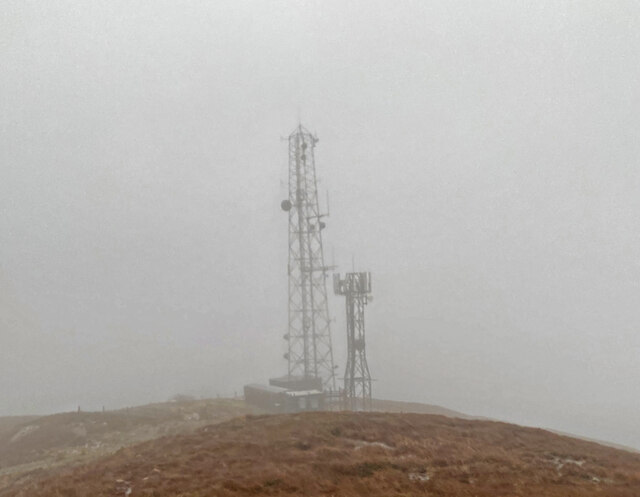
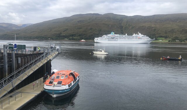
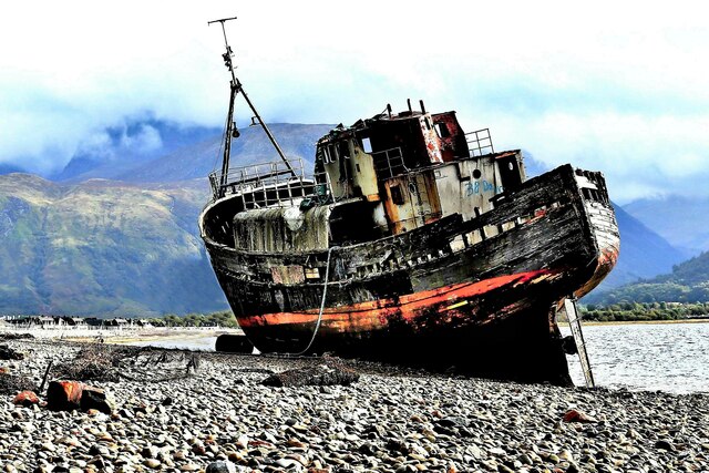
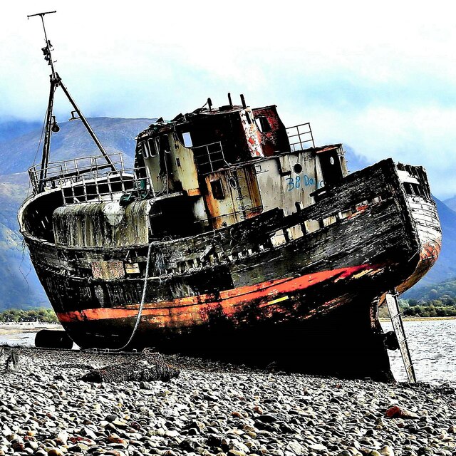
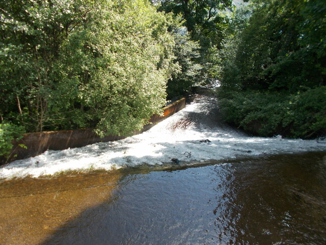
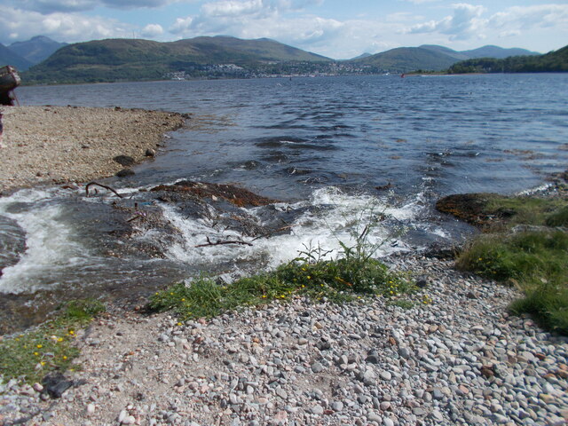
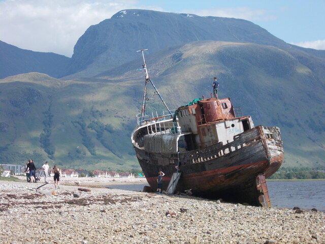
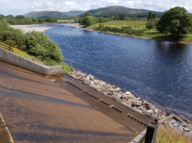
Camusnagaul Images

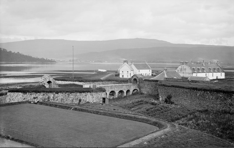
Images are sourced within 2km of 56.827043/-5.1233143 or Grid Reference NN0974. Thanks to Geograph Open Source API. All images are credited.

Grassy slopes above Achaphubuil
West End car park, Fort William
Camusnagaul on a very dreich day
View from mast track to Camusnagaul
Restricted Access Sign on track to Camusnagaul
Masts at Camusnagaul
View of Loch walking down hill
Sea lock at Corpach Vessels waiting for lock gate to be repaired to pass up Caledonian Canal.
Sea lock at Corpach
Vessels waiting for lock gate to be repaired to pass up Caledonian Canal.
Corpach Lock
Corpach Lock
Cruise ship at Fort William The 29,000 tonne cruise ship 'Amadea' is seen here anchored in Loch Linnhe off Fort William. The orange vessel at the jetty is one of her tenders ferrying passengers to and from the ship.
Cruise ship at Fort William
The 29,000 tonne cruise ship 'Amadea' is seen here anchored in Loch Linnhe off Fort William. The orange vessel at the jetty is one of her tenders ferrying passengers to and from the ship.
MV Dayspring - 'The Corpach Wreck' The MV Dayspring has sat on the Kilmallie shoreline since it was washed ashore in a storm in December 2011.

The story of MV Dayspring <span class="nowrap"><a title="https://www.obantimes.co.uk/2019/06/07/one-man-and-a-boat-the-story-of-mv-dayspring/" rel="nofollow ugc noopener" href="https://www.obantimes.co.uk/2019/06/07/one-man-and-a-boat-the-story-of-mv-dayspring/">Link</a><img style="margin-left:2px;" alt="External link" title="External link - shift click to open in new window" src="https://s1.geograph.org.uk/img/external.png" width="10" height="10"/></span>
MV Dayspring - 'The Corpach Wreck'
The MV Dayspring has sat on the Kilmallie shoreline since it was washed ashore in a storm in December 2011. The story of MV Dayspring LinkExternal link
Ducks beside the Caledonian Canal at Corpach
Sheet piling on the waterfront at Fort William Upholding the A82 road.
Sheet piling on the waterfront at Fort William
Upholding the A82 road.
Lighthouse and landing stage at the entrance to the Caledonian Canal
MV Dayspring - 'The Corpach Wreck' The MV Dayspring has sat on the Kilmallie shoreline since it was washed ashore in a storm in December 2011.

The story of MV Dayspring <span class="nowrap"><a title="https://www.obantimes.co.uk/2019/06/07/one-man-and-a-boat-the-story-of-mv-dayspring/" rel="nofollow ugc noopener" href="https://www.obantimes.co.uk/2019/06/07/one-man-and-a-boat-the-story-of-mv-dayspring/">Link</a><img style="margin-left:2px;" alt="External link" title="External link - shift click to open in new window" src="https://s1.geograph.org.uk/img/external.png" width="10" height="10"/></span>
MV Dayspring - 'The Corpach Wreck'
The MV Dayspring has sat on the Kilmallie shoreline since it was washed ashore in a storm in December 2011. The story of MV Dayspring LinkExternal link
Looking down the weir
Loch Linnhe shoreline A point where the stream issuing from the weir enters the loch.
Loch Linnhe shoreline
A point where the stream issuing from the weir enters the loch.
The Corpach Shipwreck This is the rusting hulk of a fishing vessel that has been here since 2011 after being stranded by a huge storm.

The massive hulk of Ben Nevis, the UK's highest mountain dominates the background view, towering above the much lower height of Meall an t-Suidhe, partly sunlit, seen on the right. Patches of snow can be seen on Ben Nevis from here but there was a lot more snow up there as shown in some of my other photos on Geograph taken during the same week.
The Corpach Shipwreck
This is the rusting hulk of a fishing vessel that has been here since 2011 after being stranded by a huge storm. The massive hulk of Ben Nevis, the UK's highest mountain dominates the background view, towering above the much lower height of Meall an t-Suidhe, partly sunlit, seen on the right. Patches of snow can be seen on Ben Nevis from here but there was a lot more snow up there as shown in some of my other photos on Geograph taken during the same week.
Show me another place!

Camusnagaul is located at Grid Ref: NN0974 (Lat: 56.827043, Lng: -5.1233143)

Unitary Authority: Highland

Police Authority: Highlands and Islands

What 3 Words

///trainers.gossiping.glimmers. Near Fort William, Highland

Nearby Locations

Rubha Mòr Camusnagaul

Related Wikis

Trislaig

Trislaig (Scottish Gaelic: Trìoslaig) is a small coastal hamlet on the north eastern shores of Loch Linnhe, and is situated directly across from Fort...

River Lochy

The River Lochy flows southwest along the Great Glen from Loch Lochy to Loch Linnhe at Fort William in the West Highlands of Scotland. Its two major tributaries...

Siege of Fort William

The siege of Fort William took place in the Scottish Highlands during the 1745 Jacobite Rising, from 20 March to 3 April 1746.On 1 February 1746, the Jacobites...

West Highland Museum

The West Highland Museum (Scottish Gaelic: Taigh-tasgaidh na Gàidhealtachd an Iar) tells the story of the Scottish Highlands and the Islands. It aims to...

Nearby Amenities

Located within 500m of 56.827043,-5.1233143
Bus Stop
Pier
Local Ref: AT
Naptan AtcoCode: 6700712477
Naptan Bearing: NW
Naptan CommonName: Pier
Naptan Indicator: at
Naptan Landmark: Pier
Naptan NaptanCode: 45327853
Naptan PlusbusZoneRef: FRTWLM
Naptan Street: A861
Naptan Verified: no
Source: naptan_import
Lat/Long: 56.8275451/-5.1236773
Ferry Terminal
Ferry: yes
Public Transport: station
Lat/Long: 56.8280448/-5.1237012
Barrier: cattle_grid
Source: survey
Lat/Long: 56.8284008/-5.12549
Recycling
Source: survey
Lat/Long: 56.8274428/-5.1232053
Ford: yes
Lat/Long: 56.8287043/-5.1279533
Ford: yes
Lat/Long: 56.829012/-5.1282239
Shelter
Fireplace: no
Shelter Type: public_transport
Lat/Long: 56.8276638/-5.123565
Camusnagaul
Name Gd: Camas nan Gall
Place: hamlet
Lat/Long: 56.8272072/-5.1238637
Seamark Type: buoy_lateral
Lat/Long: 56.8300343/-5.1173705
Leisure: picnic_table
Lat/Long: 56.8237565/-5.1266402
Leisure: picnic_table
Lat/Long: 56.8238049/-5.1265772
Fords, Faults and Fire
Board Type: geology
Information: board
Tourism: information
Lat/Long: 56.8277449/-5.1236536
Covered: no
Leisure: picnic_table
Lat/Long: 56.8277251/-5.1236147
Camas nan Gall
Natural: bay
Lat/Long: 56.829095/-5.1238453
Power: pole
Lat/Long: 56.8237049/-5.1282132
Power: pole
Lat/Long: 56.8243955/-5.1277102
Power: pole
Lat/Long: 56.8248101/-5.1274183
Power: pole
Lat/Long: 56.8252107/-5.1271308
Power: pole
Lat/Long: 56.8259209/-5.1266188
Power: pole
Lat/Long: 56.8265329/-5.1255363
Power: pole
Lat/Long: 56.8269449/-5.1248581
Power: pole
Lat/Long: 56.8271801/-5.1244524
Power: pole
Lat/Long: 56.826297/-5.1270934
Power: pole
Lat/Long: 56.8269769/-5.1279722
Power: pole
Lat/Long: 56.8277109/-5.1289214
Power: pole
Lat/Long: 56.8279427/-5.1292119
Power: pole
Lat/Long: 56.8283638/-5.1297568
Power: pole
Lat/Long: 56.8287914/-5.1302838
Bicycle Parking
Bicycle Parking: stands
Capacity: 10
Covered: yes
Lat/Long: 56.8276114/-5.1234846
The data included in this document is from www.openstreetmap.org. The data is made available under ODbL.

Have you been to Camusnagaul?

Leave your review of Camusnagaul below (or comments, questions and feedback).