Campsea Ashe

Settlement in Suffolk East Suffolk

England

Campsea Ashe

Cartshed, past the best
Cartshed, past the best Credit: Adrian S Pye

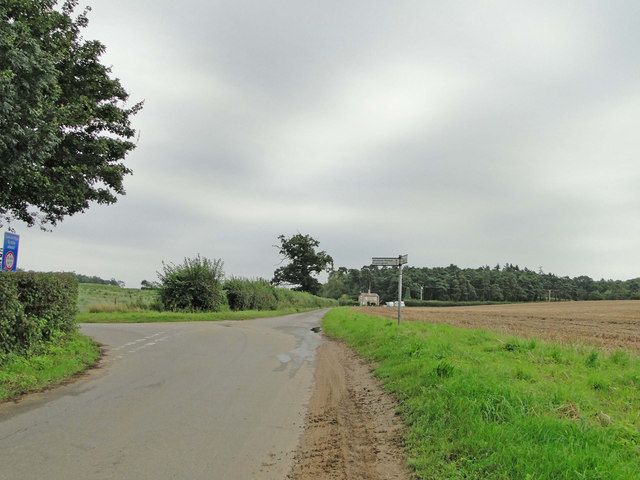
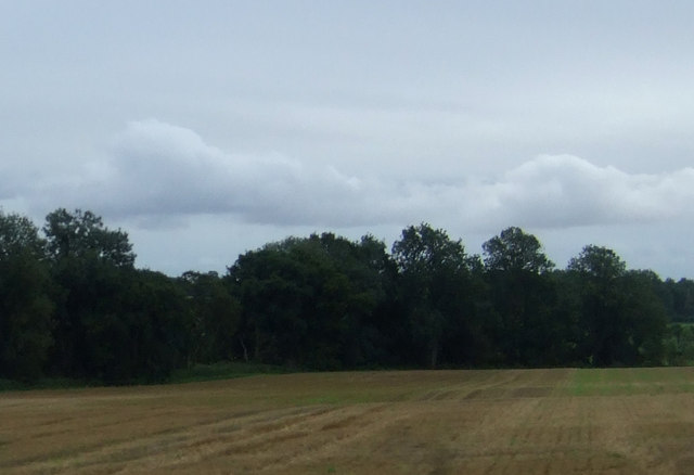
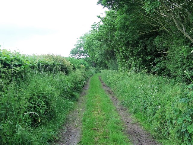
Campsea Ashe is a small village located in the county of Suffolk, England. Situated approximately 13 miles east of Ipswich, it lies within the Suffolk Coastal district. The village is nestled amidst picturesque countryside, offering a serene and peaceful environment.

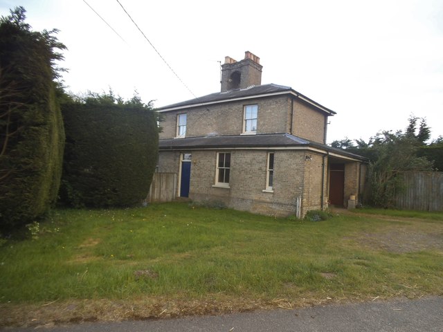
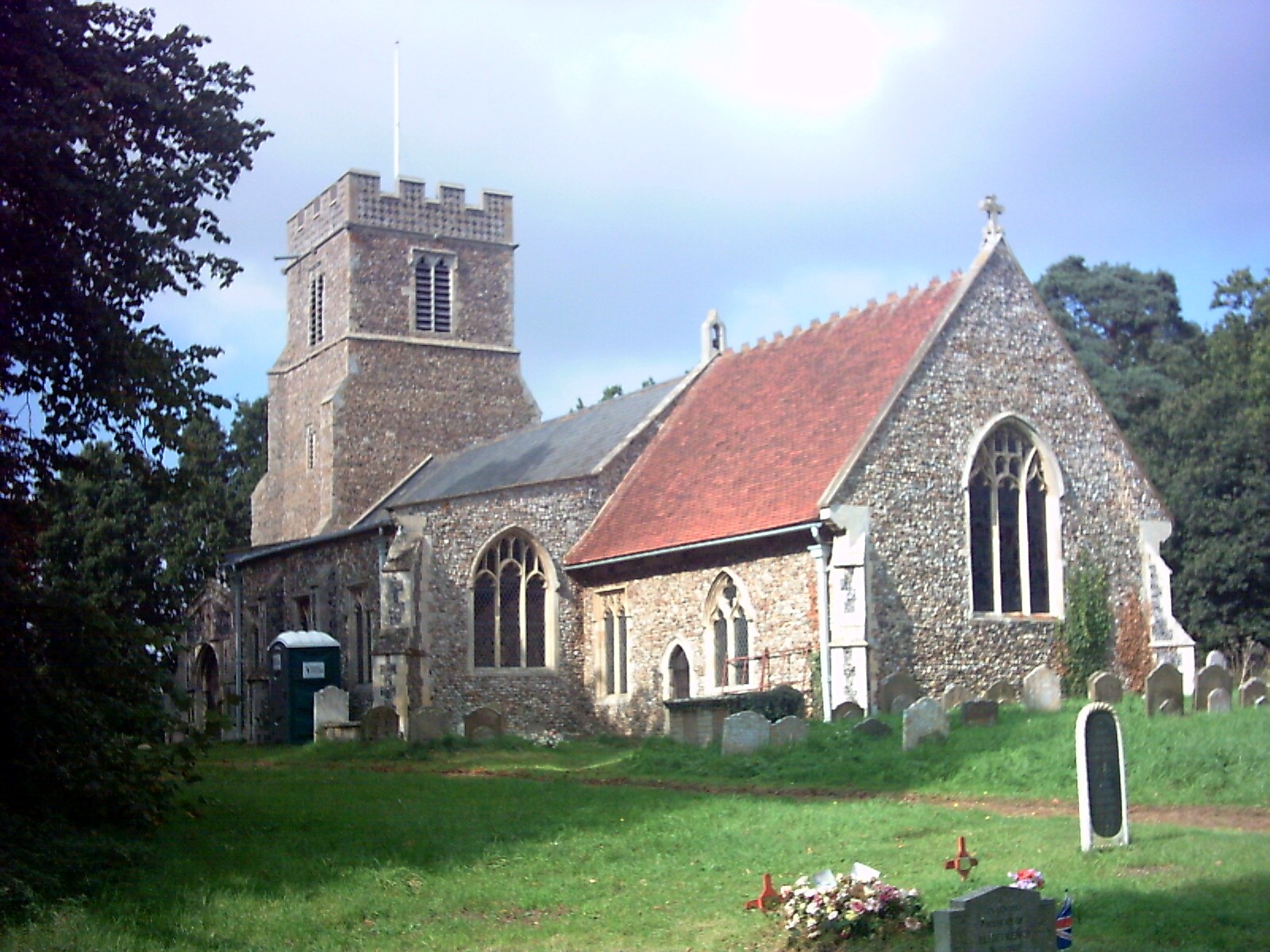
Campsea Ashe is a charming and historic village, known for its traditional Suffolk architecture. The village is home to a number of beautiful thatched cottages and historic buildings, showcasing its rich heritage. The centerpiece of the village is St. John the Baptist Church, a Grade I listed building dating back to the 14th century. The church features an impressive tower and stained glass windows, making it a significant landmark in the area.

Despite its small size, Campsea Ashe boasts a thriving community and a range of amenities. The village is home to a primary school, providing education for local children. Additionally, there is a village hall that hosts various community events and activities throughout the year. A local pub can be found in the heart of the village, serving as a popular gathering spot for residents and visitors alike.

The village is well-connected by rail, with a train station providing regular services to Ipswich and nearby towns. This makes Campsea Ashe an attractive location for commuters and those seeking easy access to larger urban areas.

Overall, Campsea Ashe is a picturesque and idyllic village, offering a peaceful countryside escape with a strong sense of community and a rich historical background.

If you have any feedback on the listing, please let us know in the comments section below.

Campsea Ashe Images

Images are sourced within 2km of 52.15128/1.3983284 or Grid Reference TM3255. Thanks to Geograph Open Source API. All images are credited.

Cartshed, past the best
Road junction to Campsea Ashe on Ash Road
Grazing near Ashe Abbey
Field Cottage Set in farmland near Jolly's Farm.
Field Cottage
Set in farmland near Jolly's Farm.
Farmland towards Allonsfield
Stubble field and woodland near Ash Abbey
Field, Campsea Ashe Looking towards the church.
Field, Campsea Ashe
Looking towards the church.
Interior of St John the Baptist's Church The 14th-century nave and chancel were rebuilt in 1792 and further restored in 1869.  The chancel arch and ceiling date from the 19th-century restoration.  The communion table of 1936 was designed by the noted Suffolk ecclesiologist Henry Munro Cautley.  The east window showing Christ in majesty <a href="https://www.geograph.org.uk/photo/2012442">TM3255 : Campsea Ashe, St John the Baptist: stained glass window (3)</a> is the work of Powell & Sons in 1912 as a memorial to William and Alice Lowther.  <span class="nowrap"><a title="http://www.suffolkchurches.co.uk/campsea.html" rel="nofollow ugc noopener" href="http://www.suffolkchurches.co.uk/campsea.html">Link</a><img style="margin-left:2px;" alt="External link" title="External link - shift click to open in new window" src="https://s1.geograph.org.uk/img/external.png" width="10" height="10"/></span>
Interior of St John the Baptist's Church
The 14th-century nave and chancel were rebuilt in 1792 and further restored in 1869. The chancel arch and ceiling date from the 19th-century restoration. The communion table of 1936 was designed by the noted Suffolk ecclesiologist Henry Munro Cautley. The east window showing Christ in majesty TM3255 : Campsea Ashe, St John the Baptist: stained glass window (3) is the work of Powell & Sons in 1912 as a memorial to William and Alice Lowther. LinkExternal link
Faith and Hope - two theological virtues Pre-Raphaelite stained glass of 1882 in St John the Baptist's Church, designed by Sir Henry Holiday for Powell Brothers as a memorial to John George Sheppard.  Faith is represented by the Cross, and Hope by an anchor.  In the vine-leaf panels above, doves symbolising the Holy Spirit are seen ascending at the left and descending on the right.  For a general view of the window see <a href="https://www.geograph.org.uk/photo/2012477">TM3255 : Campsea Ashe, St John the Baptist: stained glass window (5)</a>.
Faith and Hope - two theological virtues
Pre-Raphaelite stained glass of 1882 in St John the Baptist's Church, designed by Sir Henry Holiday for Powell Brothers as a memorial to John George Sheppard. Faith is represented by the Cross, and Hope by an anchor. In the vine-leaf panels above, doves symbolising the Holy Spirit are seen ascending at the left and descending on the right. For a general view of the window see TM3255 : Campsea Ashe, St John the Baptist: stained glass window (5).
Pelican in her Piety Stained glass of 1880 in St John the Baptist's Church; detail of a memorial window to Egidia, 5th Baroness Rendlesham.  The companion left-hand panel shows the Agnus Dei.  For the whole window see <a href="https://www.geograph.org.uk/photo/2012430">TM3255 : Campsea Ashe, St John the Baptist: stained glass window (1)</a>.
Pelican in her Piety
Stained glass of 1880 in St John the Baptist's Church; detail of a memorial window to Egidia, 5th Baroness Rendlesham. The companion left-hand panel shows the Agnus Dei. For the whole window see TM3255 : Campsea Ashe, St John the Baptist: stained glass window (1).
Flush Bracket G 1575 Wickham Market Bridge Farm Flush Bracket number OSBM G 1575, NW angle of Barn.
Flush Bracket G 1575 Wickham Market Bridge Farm
Flush Bracket number OSBM G 1575, NW angle of Barn.
Footpath Footpath looking east near to Campsea Ashe, Suffolk.
Footpath
Footpath looking east near to Campsea Ashe, Suffolk.
Cut Mark Campsey Ashe Church Cut Mark Campsey Ashe St John the Baptist Church SE angle, SE face.
Cut Mark Campsey Ashe Church
Cut Mark Campsey Ashe St John the Baptist Church SE angle, SE face.
Marlesford Mill
Marlesford Mill
The old railway station at Marlesford Thanks to Adrian Pye for identifying the building. <a title="https://www.geograph.org.uk/photo/4409748" href="https://www.geograph.org.uk/photo/4409748">Link</a>
The old railway station at Marlesford
Thanks to Adrian Pye for identifying the building. Link
The A12, Wickham Market
Old van outside Marlesford Mill I am guessing the van is from about the 1930s, meaning by law the number plate must be no more recent than that. This one is about 1989 for no known reason.
Old van outside Marlesford Mill
I am guessing the van is from about the 1930s, meaning by law the number plate must be no more recent than that. This one is about 1989 for no known reason.
Show me another place!

Campsea Ashe is located at Grid Ref: TM3255 (Lat: 52.15128, Lng: 1.3983284)

Administrative County: Suffolk

District: East Suffolk

Police Authority: Suffolk

What 3 Words

///spit.gaps.circus. Near Wickham Market, Suffolk

Nearby Locations

Campsea Ashe Campsey Ash

Related Wikis

Wickham Market railway station

Wickham Market railway station is on the East Suffolk Line in the east of England, located in Campsea Ashe, Suffolk, approximately 2 miles (3.2 km) east...

Campsea Ashe

Campsea Ashe (sometimes spelt Campsey Ash) is a village in Suffolk, England located approximately 5 miles (8 km) north east of Woodbridge and 6 miles...

Campsey Priory

Campsey Priory, (Campesse, Kampessie, etc.), was a religious house of Augustinian canonesses at Campsea Ashe, Suffolk, about 1.5 miles (2.5 km) south east...
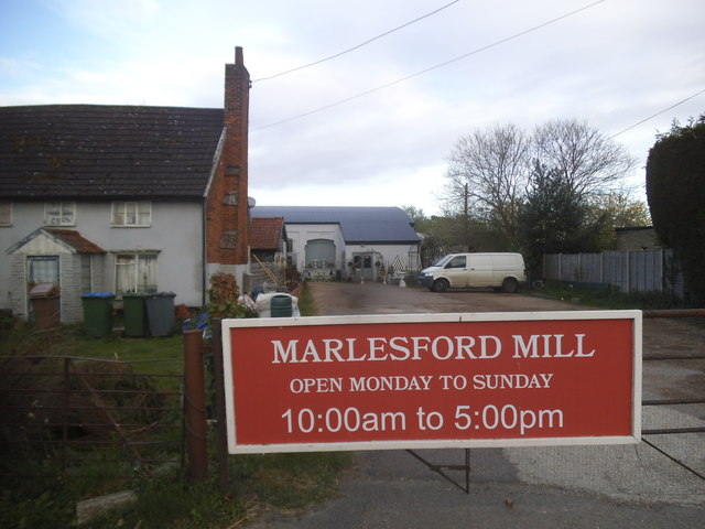
Marlesford

Marlesford is a village and civil parish in the East Suffolk district of Suffolk, England. The population of the civil parish at the 2011 Census was 233...

Nearby Amenities

Located within 500m of 52.15128,1.3983284
Campsea Ashe
Alt Name: Campsey Ash
Place: village
Wikidata: Q1878048
Wikipedia: en:Campsea Ashe
Lat/Long: 52.1506217/1.401827
Bus Stop
Wickham Market Rail Station
Naptan AtcoCode: 390060273
Naptan Bearing: SW
Naptan CommonName: Wickham Market Rail Station
Naptan Indicator: adj
Naptan Landmark: Railway Station
Naptan NaptanCode: sufgpdjd
Naptan Street: Ash Road
Naptan Verified: no
Source: naptan_import
Lat/Long: 52.151327/1.3984386
Bus Stop
Wickham Market Rail Station
Naptan AtcoCode: 390060274
Naptan Bearing: NE
Naptan BusStopType: CUS
Naptan CommonName: Wickham Market Rail Station
Naptan Indicator: opp
Naptan Landmark: Railway Station
Naptan NaptanCode: sufgpdjg
Naptan Street: Ash Road
Naptan Verified: no
Source: naptan_import
Lat/Long: 52.1512018/1.3980368
Power: tower
Lat/Long: 52.1525551/1.393936
Power: tower
Lat/Long: 52.1522309/1.3943624
Power: tower
Lat/Long: 52.1545101/1.3989624
Power: tower
Lat/Long: 52.1547833/1.3985065
Turning Loop
Lat/Long: 52.1520064/1.3994546
Clarke & Simpson Auction House
Building: yes
Website: https://www.clarkeandsimpson.co.uk/
Lat/Long: 52.1522626/1.3959643
Post Box
Collection Times: Mo-Fr 09:00; Sa 09:00
Post Box Type: lamp
Ref: IP13 6302
Royal Cypher: EIIR
Royal Cypher Wikidata: Q33102113
Lat/Long: 52.1538951/1.3933365
Post Box
Collection Times: Mo-Fr 09:00; Sa 09:30
Post Box Type: lamp
Ref: IP13 6256
Royal Cypher: EIIR
Royal Cypher Wikidata: Q33102113
Lat/Long: 52.1512311/1.3980854
Parking
Lat/Long: 52.1492084/1.3957143
Wickham Market
Public Transport: stop_position
Train: yes
Lat/Long: 52.1511806/1.3988939
Parking
Lat/Long: 52.1499375/1.3969132
Wickham Market
Naptan AtcoCode: 9100WCKHMMR
Network: National Rail
Network Website: https://www.nationalrail.co.uk/stations/wcm/
Network Wikidata: Q26334
Public Transport: station
Railway: station
Ref Crs: WCM
Wikidata: Q3043489
Wikipedia: en:Wickham Market railway station
Lat/Long: 52.1510336/1.3986272
Parking
Lat/Long: 52.1508213/1.397038
Leisure: picnic_table
Lat/Long: 52.1510081/1.3977581
Leisure: picnic_table
Lat/Long: 52.1510295/1.3977943
Leisure: picnic_table
Lat/Long: 52.1511184/1.3978775
Leisure: picnic_table
Lat/Long: 52.1511052/1.3979392
Leisure: picnic_table
Lat/Long: 52.1510846/1.3978855
Leisure: picnic_table
Lat/Long: 52.151069/1.3978051
Leisure: picnic_table
Lat/Long: 52.1511694/1.398029
Leisure: picnic_table
Lat/Long: 52.1511472/1.3979821
Leisure: picnic_table
Lat/Long: 52.1511422/1.3979204
Leisure: picnic_table
Lat/Long: 52.1511035/1.3978171
Telephone
Booth: KX100
Covered: booth
Operator: BT
Lat/Long: 52.1510902/1.3984713
Bicycle Parking
Bicycle Parking: stands
Capacity: 10
Covered: no
Lat/Long: 52.151147/1.3983258
Railway: crossing
Lat/Long: 52.153783/1.4025119
The data included in this document is from www.openstreetmap.org. The data is made available under ODbL.

Have you been to Campsea Ashe?

Leave your review of Campsea Ashe below (or comments, questions and feedback).