Campmuir

Settlement in Angus

Scotland

Campmuir

The Green, Burrelton
The Green, Burrelton Credit: Bartolo Creations

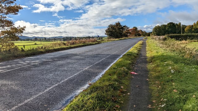
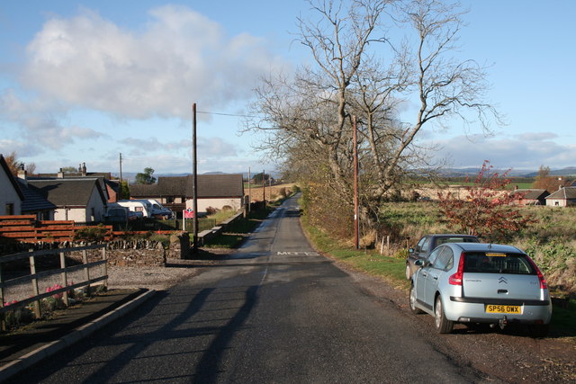
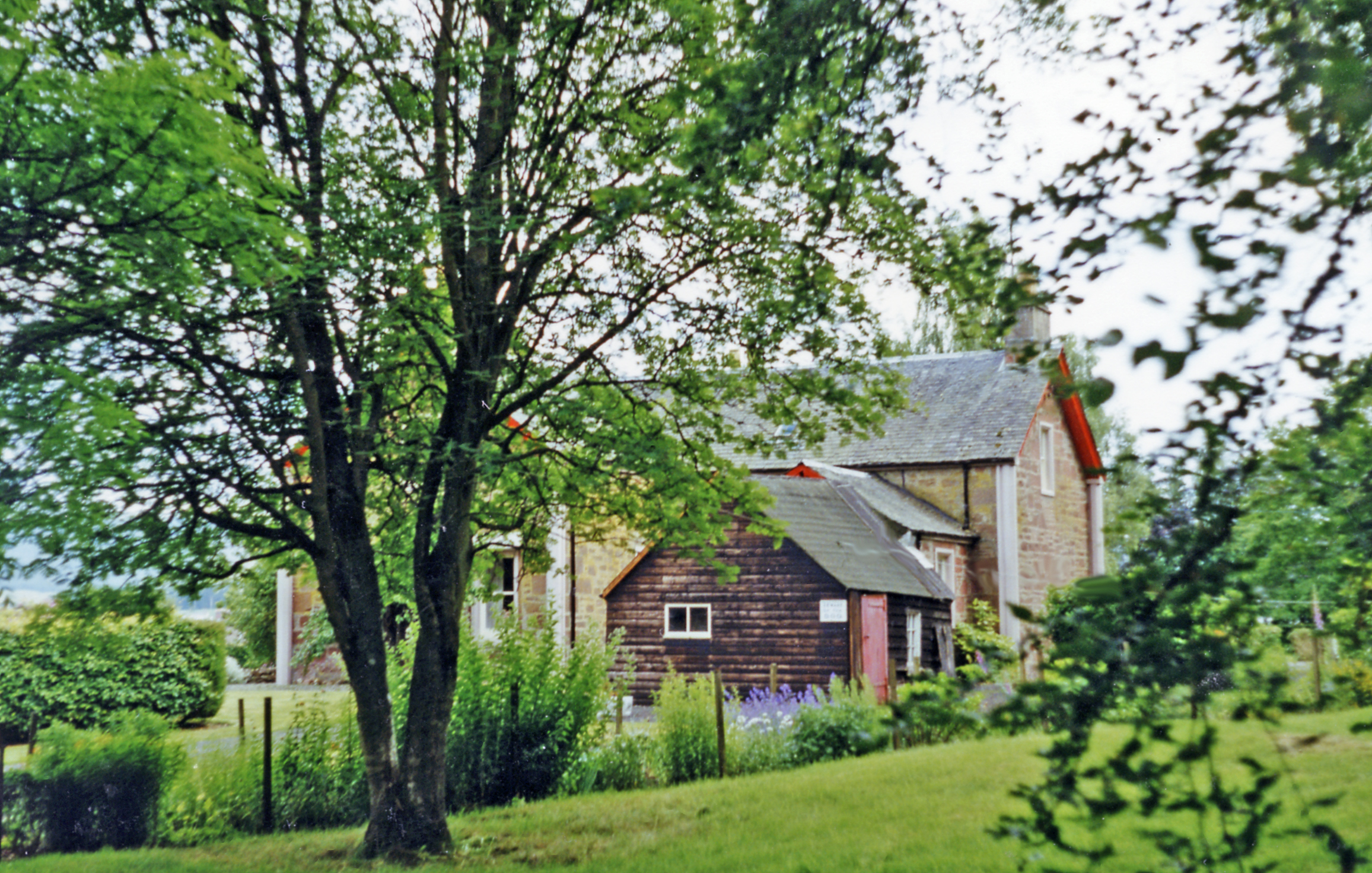
Campmuir is a small rural settlement located in the county of Angus, Scotland. Situated approximately 10 miles northwest of the town of Forfar, it lies in the picturesque Strathmore Valley, nestled amidst rolling hills and farmland. The village is primarily agricultural, with a scattering of residential properties.

Campmuir is renowned for its tranquil and idyllic setting, making it a popular destination for those seeking a peaceful retreat from the bustling city life. The surrounding countryside offers breathtaking views and ample opportunities for outdoor activities, including hiking, cycling, and wildlife observation.

Although small in size, Campmuir boasts a strong sense of community, with a close-knit group of residents who actively engage in local events and initiatives. The village has a community hall, which serves as a venue for social gatherings, meetings, and various community activities.

The nearest amenities, including shops, schools, and healthcare facilities, can be found in nearby towns such as Forfar and Kirriemuir. However, Campmuir benefits from its secluded location, providing residents with a quiet and peaceful lifestyle away from the hustle and bustle of urban areas.

Overall, Campmuir offers a charming and rural escape, appealing to those who appreciate the beauty of nature and a close community spirit. With its stunning landscapes and welcoming atmosphere, it is no wonder that Campmuir is cherished by both locals and visitors alike.

If you have any feedback on the listing, please let us know in the comments section below.

Campmuir Images

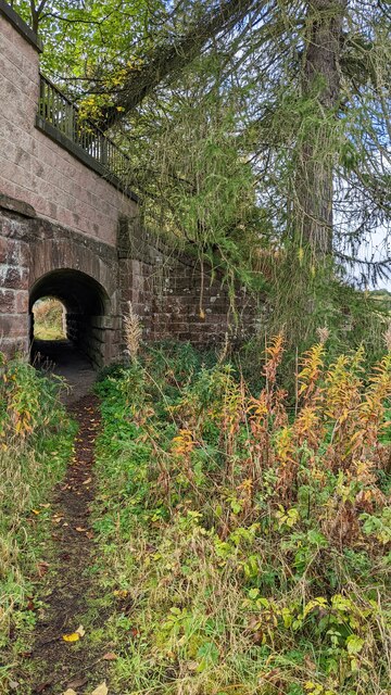
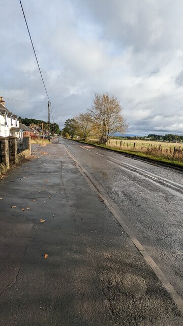
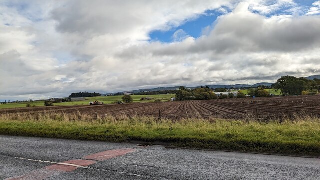
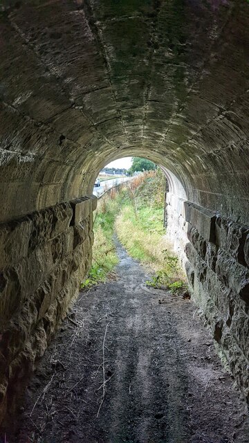
Images are sourced within 2km of 56.52514/-3.2730421 or Grid Reference NO2137. Thanks to Geograph Open Source API. All images are credited.

The Green, Burrelton
The A94 near Coupar Angus
Bridge for Public Footpath on A94
A94 passing through Woodside
View of the green, Burrelton
Main road, Woodside
Main road, Woodside
View of field, Main Road
View of farmland from Main Road
View from inside footpath tunnel
View of tunnel footpath
View of the A94 towards Burrelton and Woodside
St Matthew's Church
St Matthew's Church
Former line of railway The old line of the railway through Strathmore, now partly covered in housing and used a path to Burrelton.
Former line of railway
The old line of the railway through Strathmore, now partly covered in housing and used a path to Burrelton.
Burrelton Post Office The post office at Burrelton viewed from across the road.
Burrelton Post Office
The post office at Burrelton viewed from across the road.
The end of Scott Street The north-western end of Scott Street in the village of Burrelton where there's a bungalow and a footbridge over the  Wellsies Burn which gives a way on to the Millennium Footpath, a 'core path' of the settlement.
The end of Scott Street
The north-western end of Scott Street in the village of Burrelton where there's a bungalow and a footbridge over the Wellsies Burn which gives a way on to the Millennium Footpath, a 'core path' of the settlement.
Road near Brunty Looking eastward towards Woodside.
Road near Brunty
Looking eastward towards Woodside.
Burrelton High Street
Scott Street and Ford from footpath
Show me another place!

Campmuir is located at Grid Ref: NO2137 (Lat: 56.52514, Lng: -3.2730421)

Unitary Authority: Perth and Kinross

Police Authority: Tayside

What 3 Words

///grace.relaxing.repeating. Near Coupar Angus, Perth & Kinross

Nearby Locations

Campmuir

Related Wikis

Campmuir

Campmuir () is a small village in the Perth and Kinross area of Scotland.Campmuir is located less than 1 mile (2 kilometres) south of the main A94 road...

Woodside, Perth and Kinross

Woodside (Scottish Gaelic: Both BhÚirnich) is a small village in Scotland, 12 miles (19 kilometres) from Perth, in the Perth and Kinross council area....

Woodside and Burrelton railway station

Woodside and Burrelton railway station was located in Burrelton in the Scottish county of Perth and Kinross. The station was opened by the Caledonian Railway...

Burrelton

Burrelton is a small village in Scotland about 12 miles (19 kilometres) outside Perth. It is joined onto another smaller village, Woodside. The population...

Nearby Amenities

Located within 500m of 56.52514,-3.2730421
Campmuir
Place: village
Lat/Long: 56.5251364/-3.2730931
Power: pole
Lat/Long: 56.5249121/-3.278705
Power: pole
Lat/Long: 56.5272737/-3.2787534
Power: pole
Lat/Long: 56.5238666/-3.2786867
Power: pole
Lat/Long: 56.5228164/-3.2786632
Power: pole
Lat/Long: 56.5259623/-3.2787249
Power: pole
Lat/Long: 56.5275246/-3.2755244
Power: pole
Lat/Long: 56.5278204/-3.2764685
Power: pole
Lat/Long: 56.5281518/-3.2775414
Power: pole
Lat/Long: 56.5284684/-3.2774127
Power: pole
Lat/Long: 56.5276932/-3.2774985
Power: pole
Lat/Long: 56.526989/-3.2772249
Power: pole
Lat/Long: 56.5262937/-3.2769996
Power: pole
Lat/Long: 56.5247433/-3.2764953
Power: pole
Lat/Long: 56.5240716/-3.2762861
Power: pole
Lat/Long: 56.5231692/-3.2759428
Power: pole
Lat/Long: 56.5221808/-3.275578
Power: pole
Lat/Long: 56.5212132/-3.2752669
Power: pole
Lat/Long: 56.5245392/-3.2789373
Power: pole
Lat/Long: 56.5254695/-3.2794507
Power: pole
Lat/Long: 56.5262497/-3.2798693
Power: pole
Lat/Long: 56.5243026/-3.2805952
Power: pole
Lat/Long: 56.5244243/-3.27976
Power: pole
Lat/Long: 56.5246222/-3.2777083
Power: pole
Lat/Long: 56.5246984/-3.2750587
Power: pole
Lat/Long: 56.5241889/-3.274306
Power: pole
Lat/Long: 56.5226579/-3.2668416
Power: pole
Lat/Long: 56.5229958/-3.2673962
Power: pole
Lat/Long: 56.5236077/-3.2683963
Power: pole
Lat/Long: 56.5241741/-3.2693469
Power: pole
Lat/Long: 56.5245574/-3.269914
Power: pole
Lat/Long: 56.5248588/-3.2703965
Power: pole
Lat/Long: 56.525424/-3.270914
Power: pole
Lat/Long: 56.5271192/-3.2701562
Power: pole
Lat/Long: 56.5267991/-3.2708078
Power: pole
Lat/Long: 56.5263743/-3.2716223
Power: pole
Lat/Long: 56.5260501/-3.272276
Power: pole
Lat/Long: 56.5269981/-3.2743566
Power: pole
Lat/Long: 56.5263925/-3.2731358
Power: pole
Lat/Long: 56.5260132/-3.2726038
Post Box
Collection Times: Mo-Fr 13:00; Sa 11:45
Manufacturer: Machan Scotland
Operator: Royal Mail
Post Box Mounting: pier
Post Box Type: lamp
Ref: PH13 103
Royal Cypher: scottish_crown
Source: survey;local knowledge
Lat/Long: 56.5253351/-3.2727869
The data included in this document is from www.openstreetmap.org. The data is made available under ODbL.

Have you been to Campmuir?

Leave your review of Campmuir below (or comments, questions and feedback).